
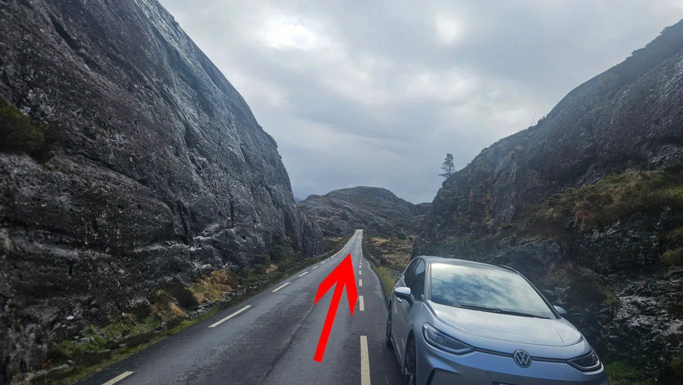
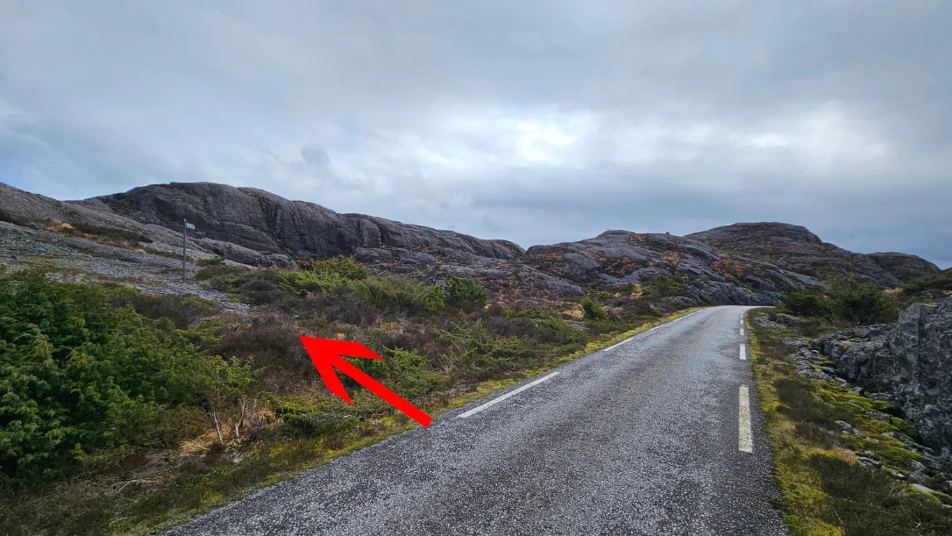
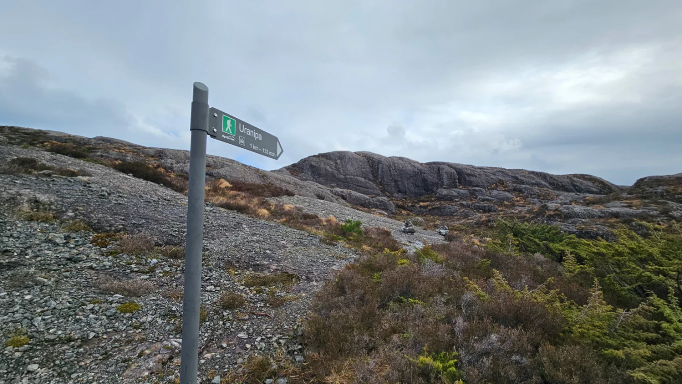
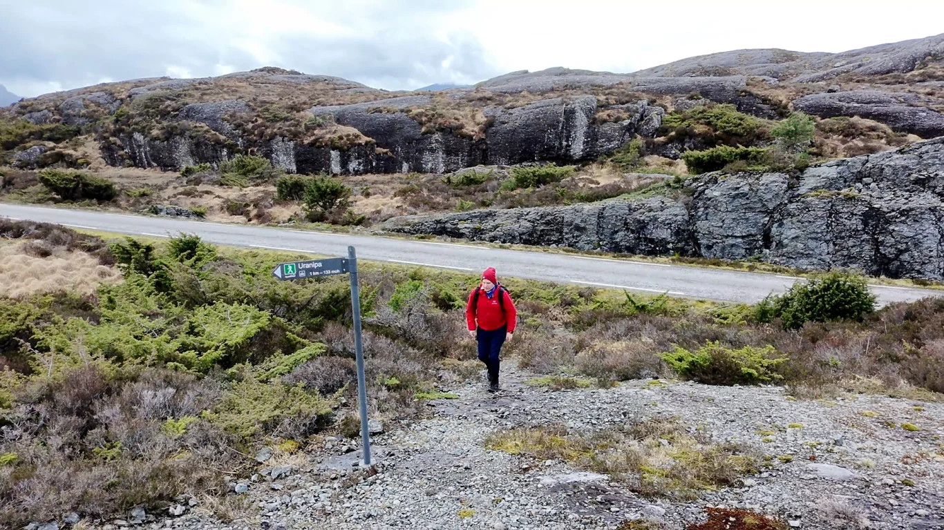
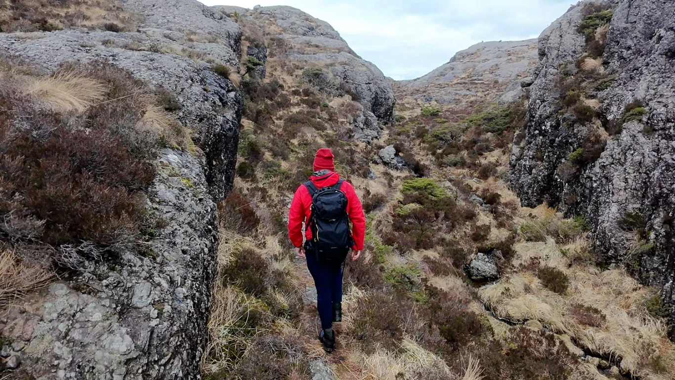
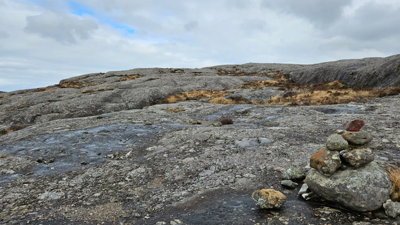
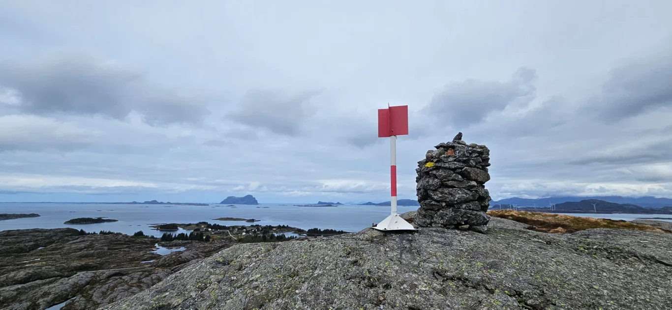
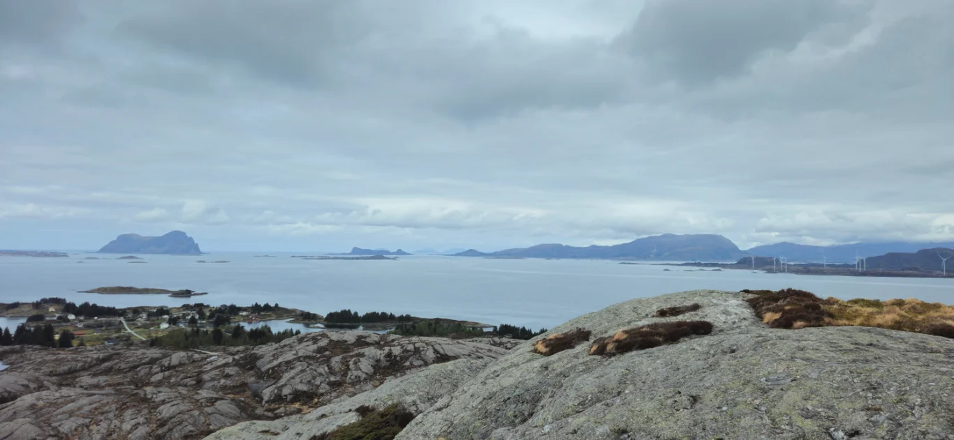
Hike to Urdanipa (133 m)
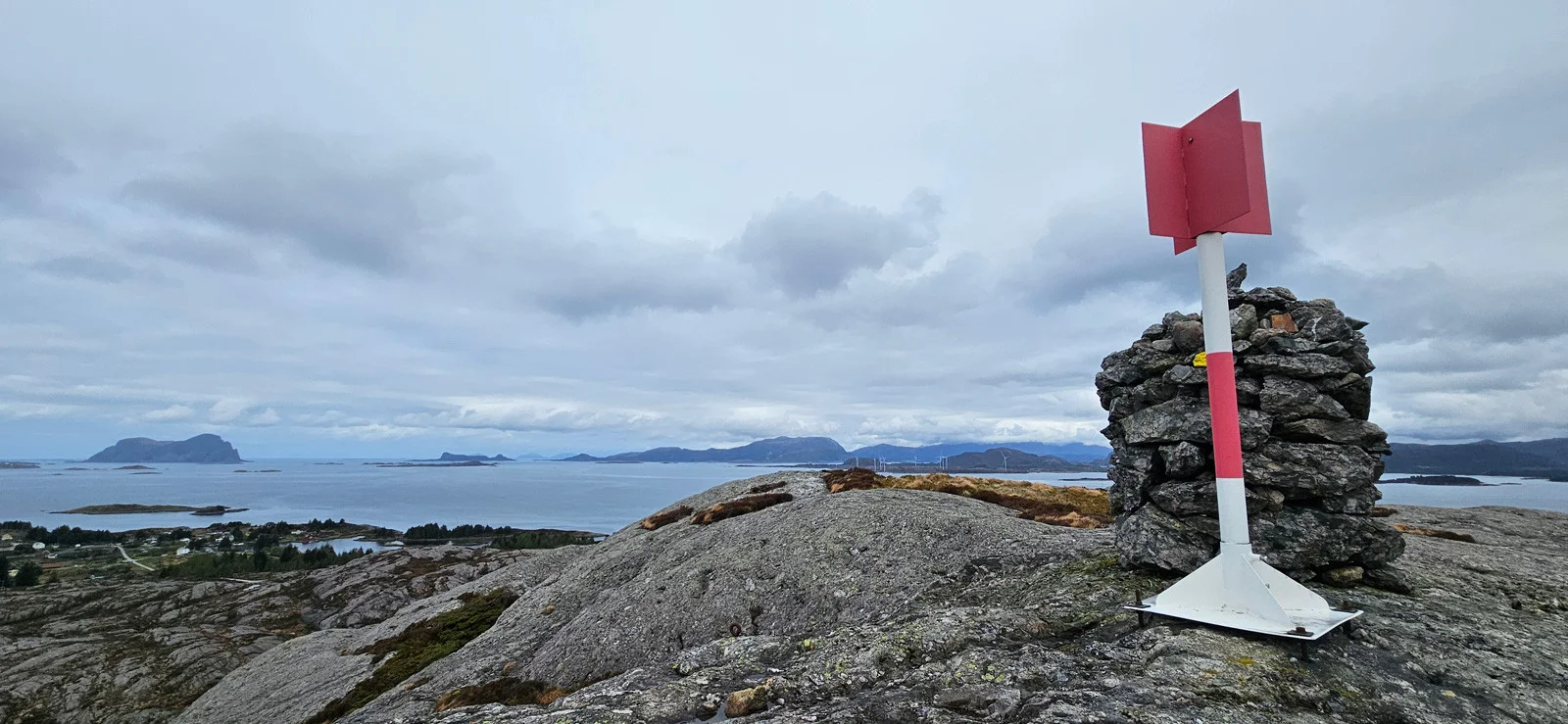
Fottur til Urdanipa (133 moh)
Photo: Chris A.

The GPX Track is for guidance only and may contain errors. Use at your own risk.
– always check maps, weather and conditions before your trip.

Access

Approx. 3 hours 15 minutes (156 km) drive from Bergen including ferry time.

Parking

Parking in a parking space along the road.

Description

Urdanipa (133 m) - Mountain peak on the island of Sula in Solund municipality, Vestland

This is an easy hike suitable for everyone. Park in a small parking space along the road. Walk about 100 meters back (south) along the road until you see a sign on the left marked 'Urdnipa'. Locally the peak is called 'Urdnipa', but according to the Norwegian Mapping Authority it is called Urdanipa.

From the sign there is a path. It is sometimes hard to see, but is marked with small cairns. Follow the path in an arc north through the small ravine where the stream flows. Cross the stream and walk up the ridge. Follow the cairns north – you will soon see the summit.

The path follows the ridge with a steady climb to the cairn. At the top you get a great view north towards Alden, Bulandet and Askvoll. To the east you can see Lihesten.

Information

Length: Approximately 2 km round trip
Time: Approx. 30 min. round trip
Elevation gain: 80 meters
Season: All year round
Grading: Simple

Processing elevation data.. .

You use GPX files that you download from our server 100% at your own risk.

Accommodation nearby

Hiking nearby