Trip to Høgkletten (163 m) - Highest point in Værlandet
The GPX Track is for guidance only and may contain errors. Use at your own risk.
– always check maps, weather and conditions before your trip.
Access
Parking
Description
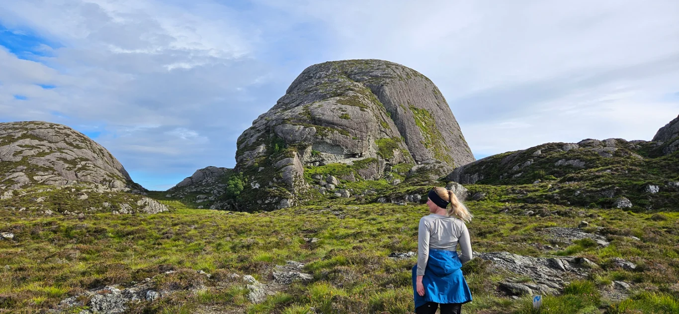
When you arrive in Værlandet, you will quickly notice the characteristic peaks, the Klettene. They look like large, round rocks that dominate the landscape. The highest of them is Høgkletten, which rises 163 meters above sea level, and it is definitely worth a visit.
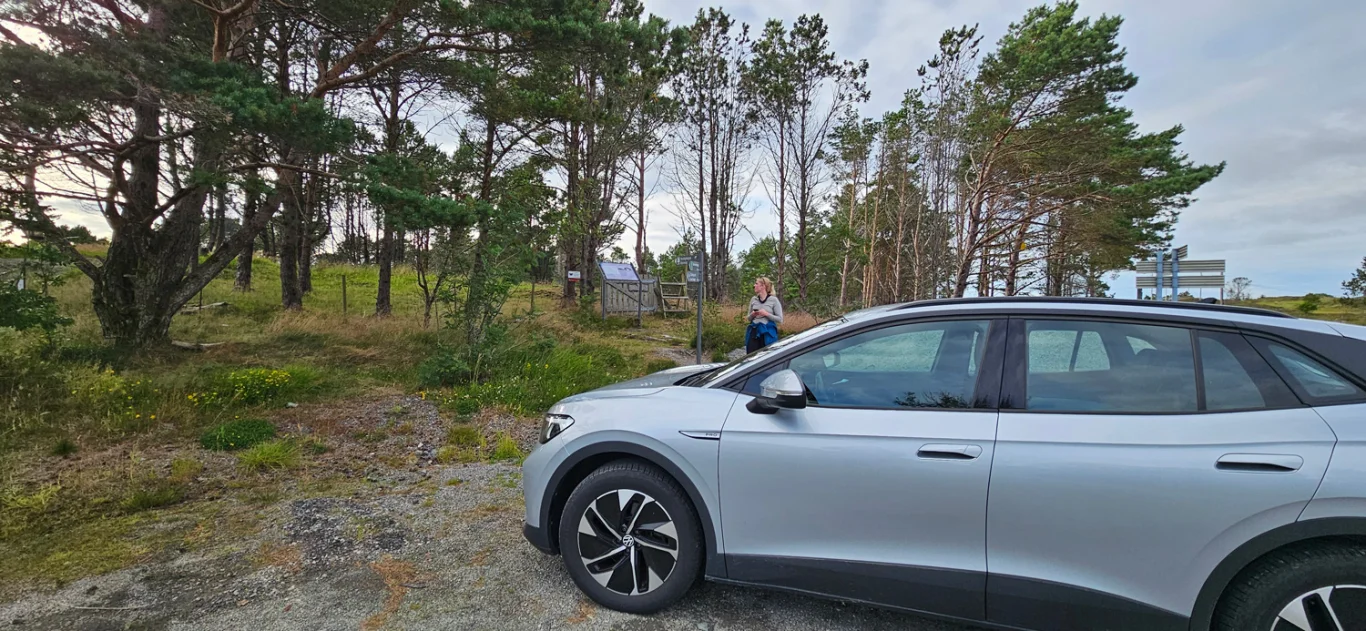
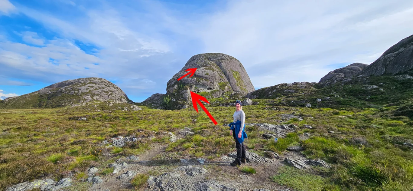
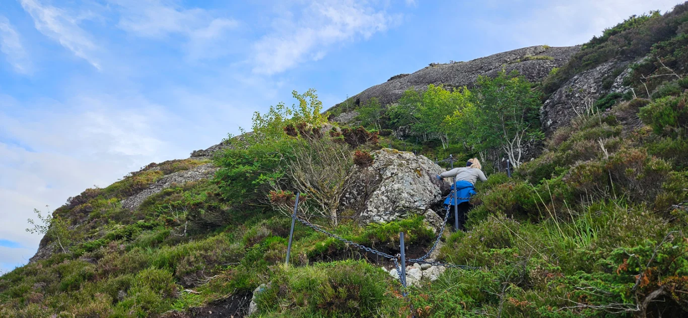
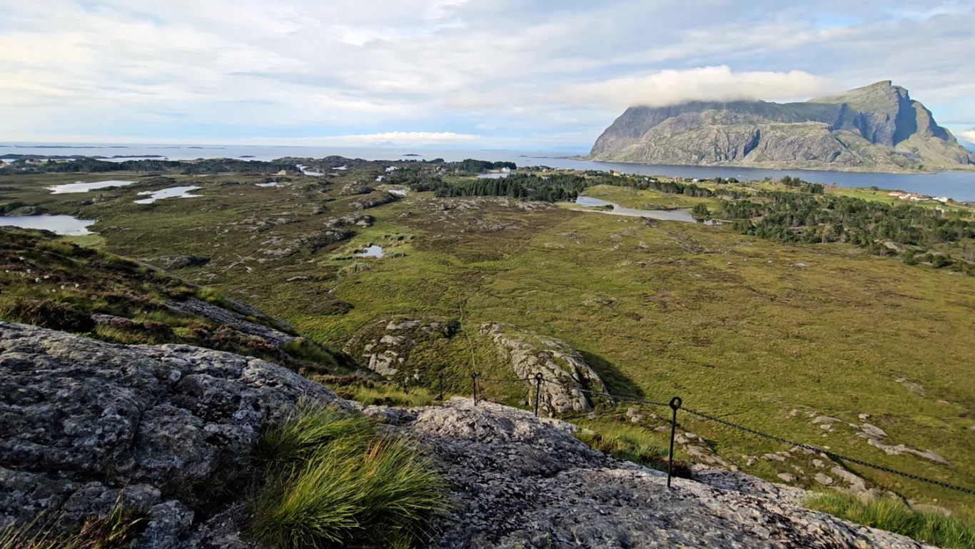
The hike starts just a few hundred meters from the ferry dock. From the parking lot, follow the Nordsjøløypa trail for about 1 km. First, the trail goes through slightly hilly, open rocky landscape and then through a dense spruce forest. Then out into open landscape where you can see the three large Kletten up close. The one in the middle is Høgkletten. The trail leads you to Høgkletten, where the steep ascent begins. The start of the ascent is on rock and is secured with a chain. Halfway up, the trail goes over to the middle part of the mountain, so it is not as exposed. Then just follow the trail to the top.
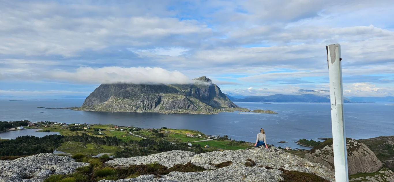
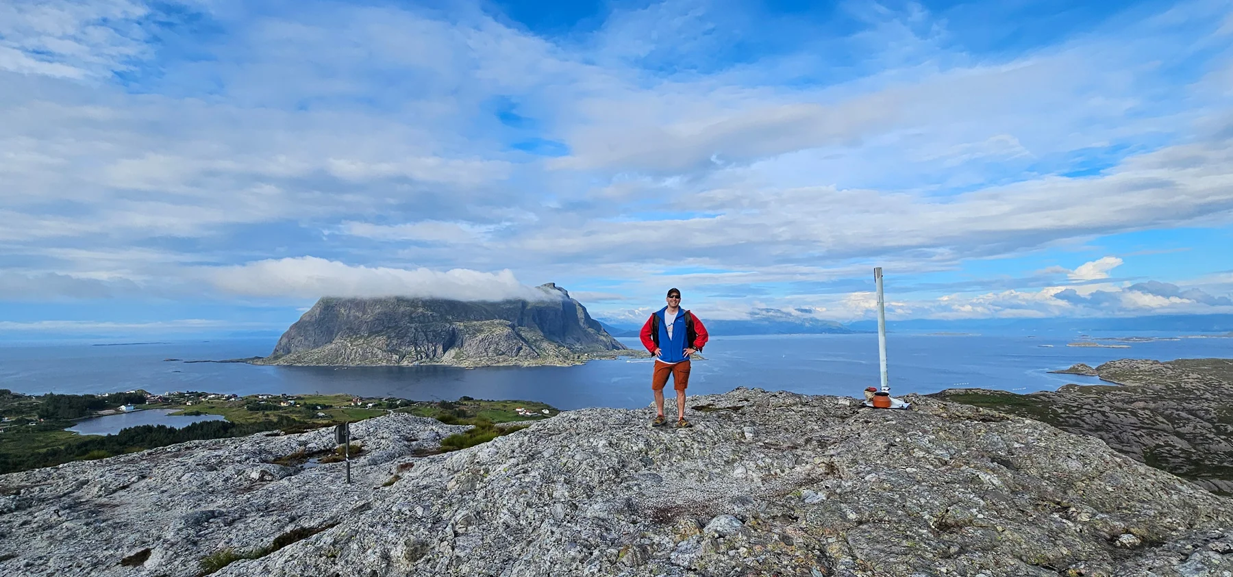
At the top there is a mailbox and a great view. You can look out over Alden and back towards Askvoll, where the ferry comes from. If you walk a little further west at the top, you get a panoramic view out towards Værlandet and all the islands.
Return the same way.
Information
Tud: Approx. 1-2 hours round trip
Elevation gain: Approximately 168 meters
Season: All year round