
Mountain hike to Lihesten and the highest point Risnesnipa (776 m above sea level)
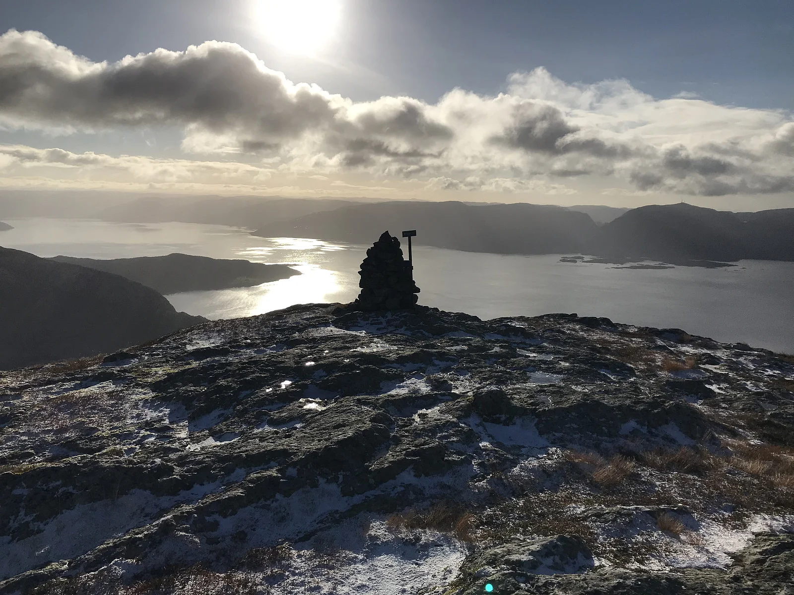
Fjelltur til Lihesten og høyeste punkt Risnesnipa (776 moh)
Photo: Trond Opdal

The GPX track is for guidance only and may contain errors. Use at your own risk.
– always check maps, weather and conditions before your trip.

Access

Approx. 2 h 48 min (141 km) drive from Bergen. You will need to take a ferry.

Parking

Parking at Hovland.

Description

Mountain hike to the highest peak in Hyllestad municipality. Great fjord view at the top. For a longer hike you can go to Høgeheia (577 m) Risnesnipa (776 m) which is also the peak of Lihesten.

Information

Length: Approximately 8 km round trip.
Time: Approximately 4 hours round trip.
Elevation gain: Approximately 750 meters
Season: Apr - Nov
Grading: Demanding

Processing elevation data...

You use GPX files that you download from our server 100% at your own risk.