
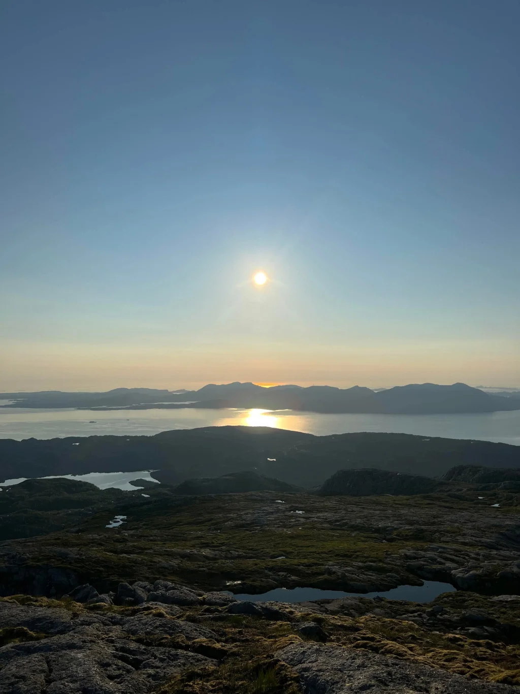
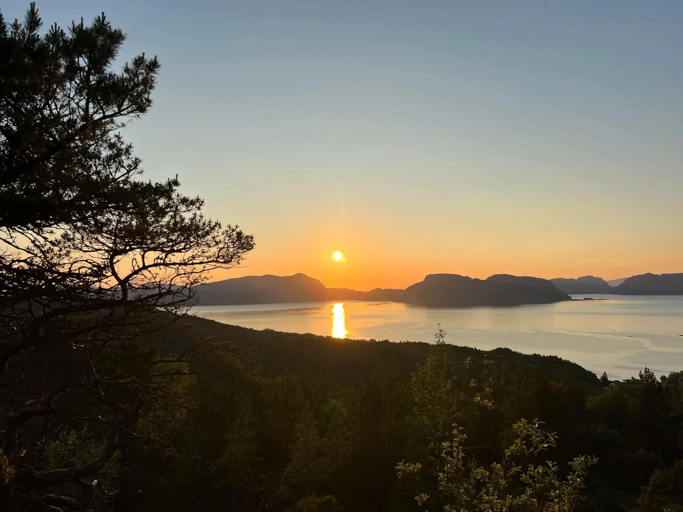


Brossviksåta (723 m. above sea level)
Photo: Sognefjord Holiday
The GPX Track is for guidance only and may contain errors. Use at your own risk.
– always check maps, weather and conditions before your trip.
Access
Approximately 2 hours 5 minutes (130 km) drive from Bergen.
Parking
Drive about 100 meters down the gravel road until you reach Brossviksåta Parking .
Description
Brossviksåta (723 m) - Mountain peak in Yellow, Vestland
The entire trip up to Brossviksåta is on a gravel road. At the top is a large mast and there is a view of the archipelago of Solund, Hyllestad and Askvoll.
Information
Length: Approximately 11 km round trip
Time: Approximately 2 hours round trip
Elevation gain: 656
Season: All year round, depending on snowfall.
Time: Approximately 2 hours round trip
Elevation gain: 656
Season: All year round, depending on snowfall.
Accommodation nearby
Hot
Distance
18.16 Km
Hiking nearby
Distance
3.23 Km
Round trip from Undertun, Ormekletten, Svabergfjellet and Flolidfjellet - Yellow, Vestland
Hiking tips
Distance
6.04 Km