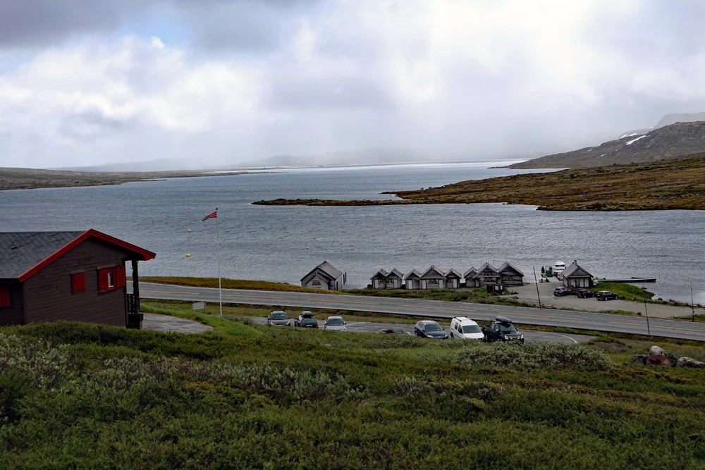
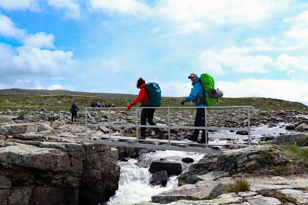
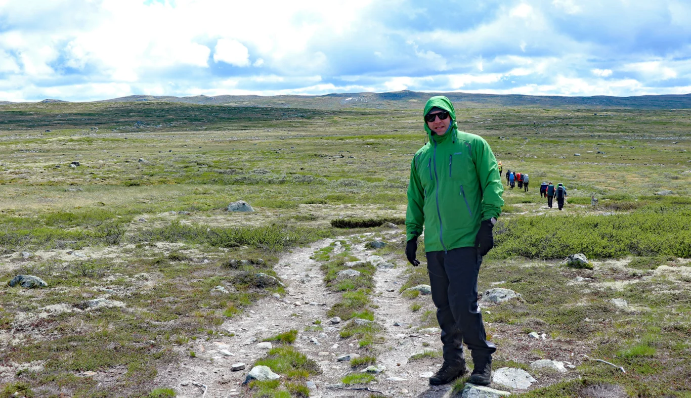
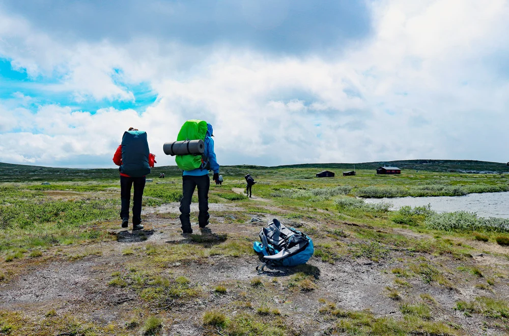
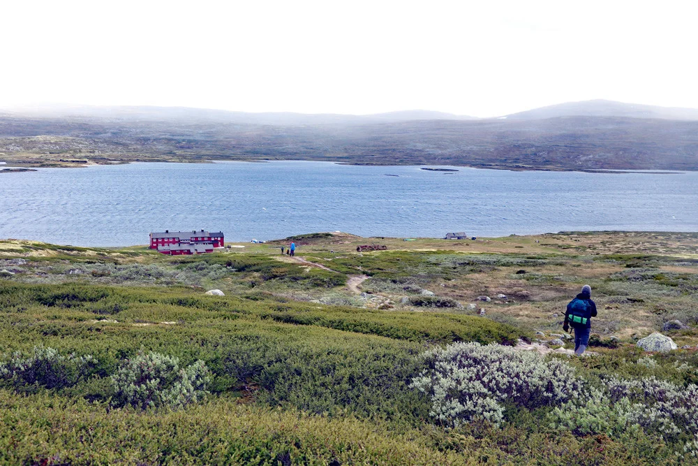
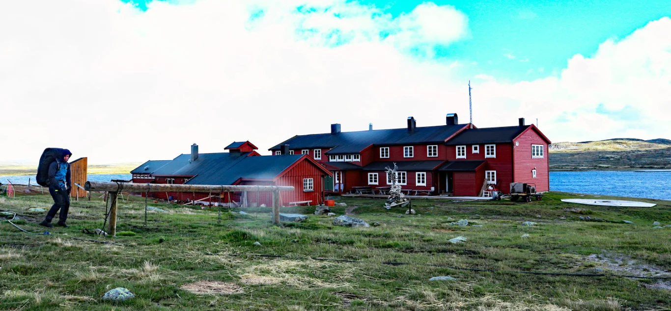
Hardangervidda part 2: Krækkja to Rauhelleren (1220 m above sea level)

Processing elevation data.. .
You use GPX files that you download from our server 100% at your own risk.
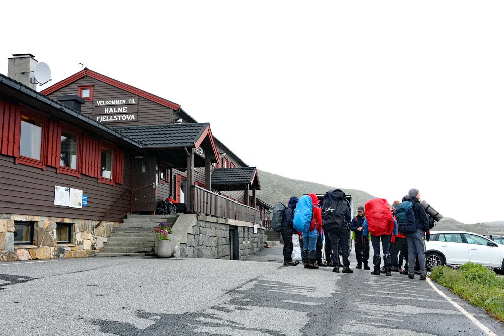
Accommodation nearby

Hot
Distance
20.16 Km


FeaturedHot
Distance
20.73 Km


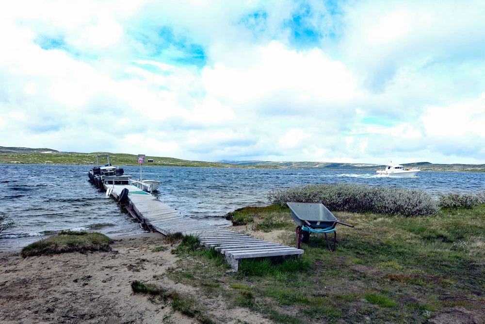
Hiking nearby


Distance
14.13 Km


Hot
Distance
20.01 Km

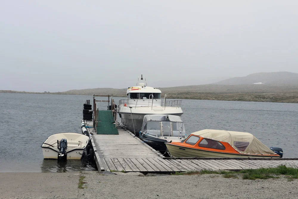
Hot
Boat trip with the King of Halne on the Hardangervidda plateau - Activities - Eidfjord, Vestland
Activities
Distance
20.02 Km


