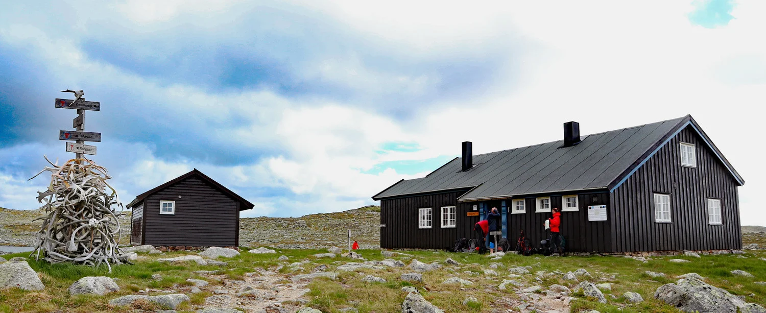
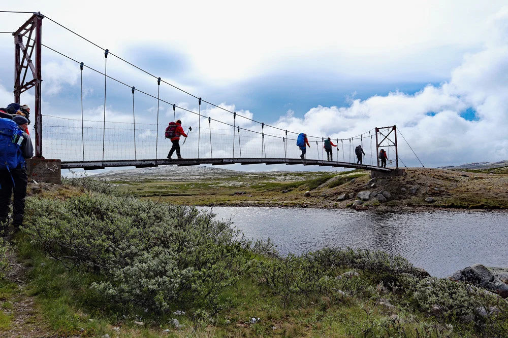
Hardangervidda part 3: Rauhelleren - Lågaros (1288 m)
Information
Length: About 20 km
Time: Approximately 7 hours
Elevation gain: 350 meters
Season: June - Oct
Time: Approximately 7 hours
Elevation gain: 350 meters
Season: June - Oct

Processing elevation data.. .
You use GPX files that you download from our server 100% at your own risk.
Accommodation nearby

Hot
Distance
32.52 Km


Hot
Distance
46.27 Km

Hiking nearby


Distance
14.13 Km


Hot
Distance
32.36 Km

Hot
Boat trip with the King of Halne on the Hardangervidda plateau - Activities - Eidfjord, Vestland
Activities
Distance
32.38 Km


