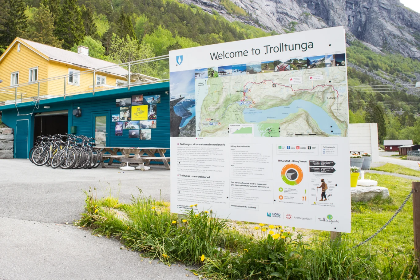
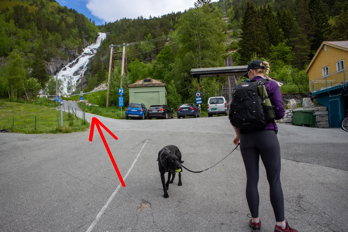
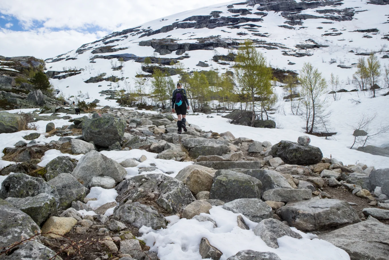
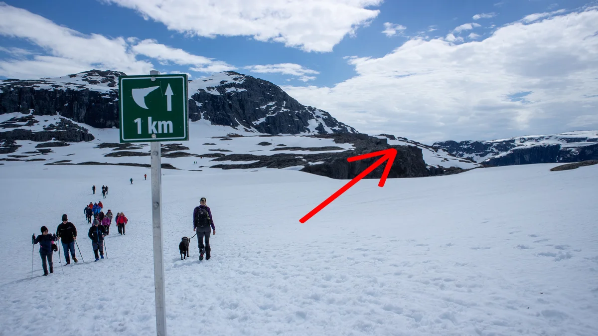
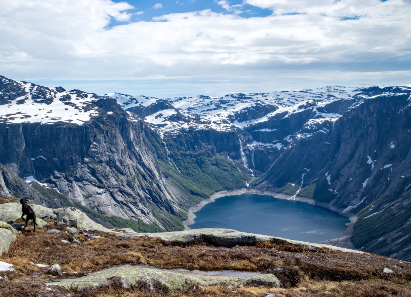
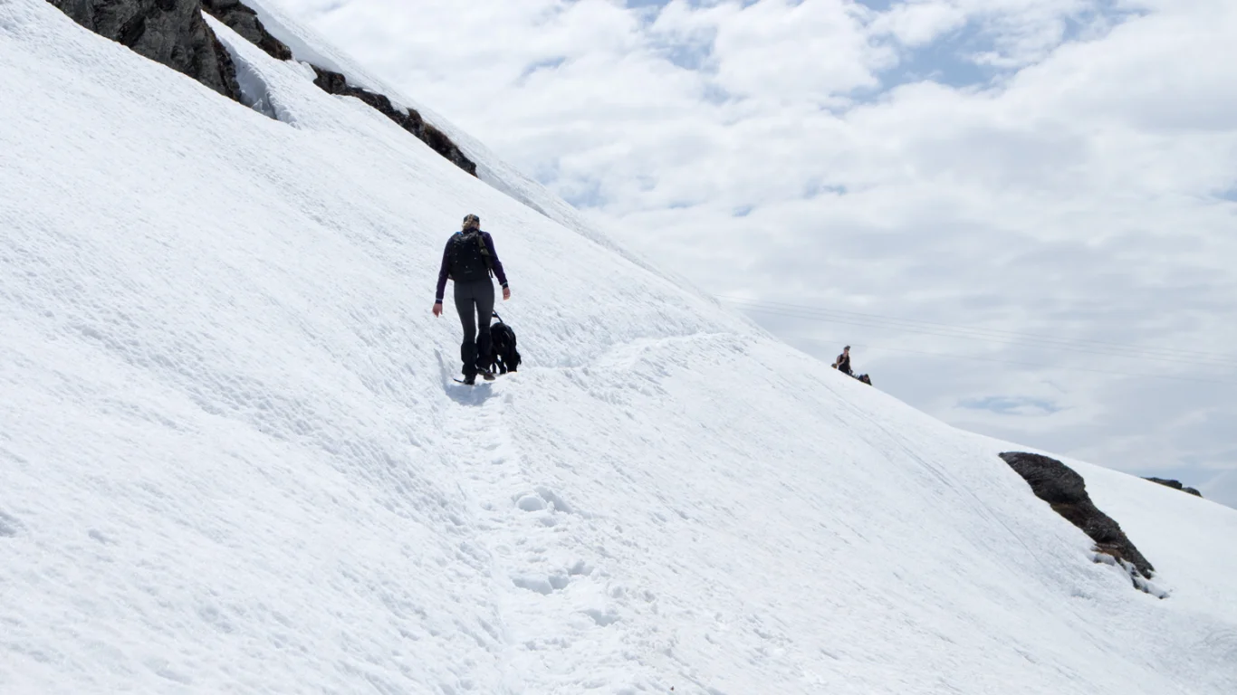
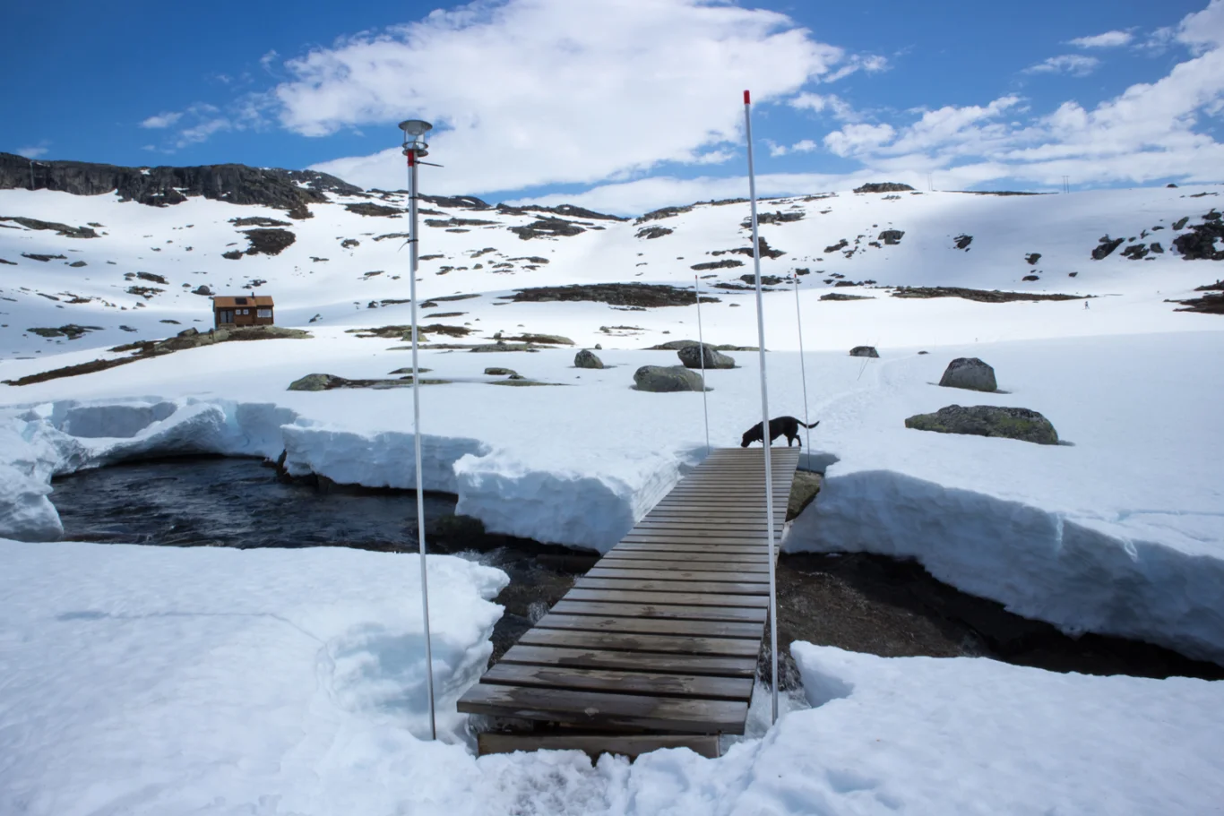
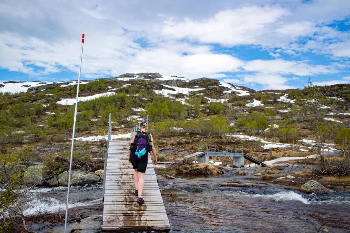
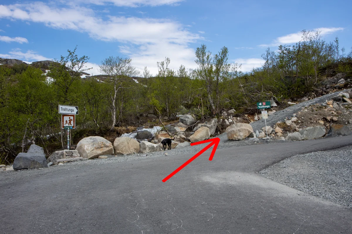
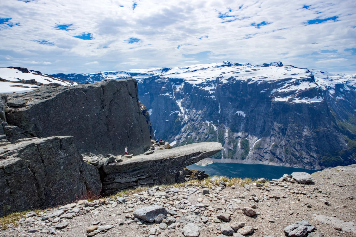
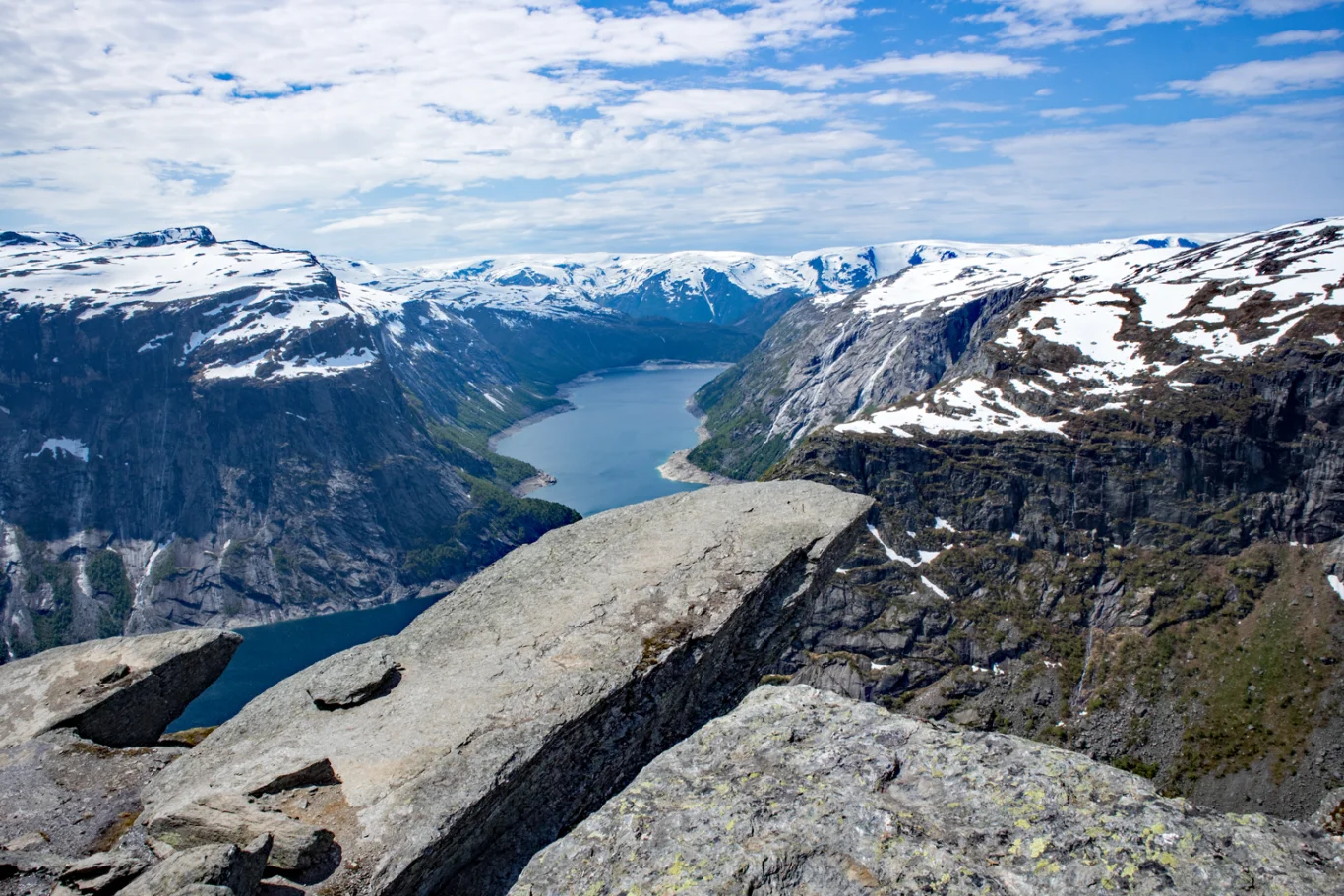
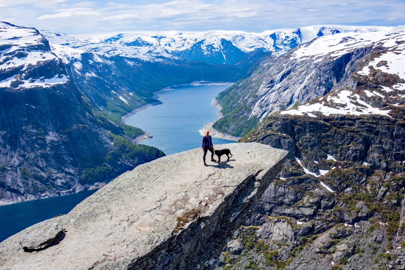
Mountain hike to Trolltunga (1100 m)
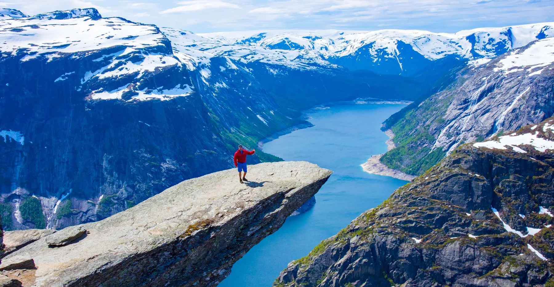
Photo: Chris A.

Processing elevation data.. .
You use GPX files that you download from our server 100% at your own risk.
Accommodation nearby


Hiking nearby

Hot
Distance
13.92 Km


Distance
18.67 Km


Mountain hike to Søndre Folgefonna (1648 m) - municipal summit Kvinnherad - Kvinnherad, Vestland
Premium
Distance
21.49 Km


Distance
23.37 Km


FeaturedHot
Distance
26.01 Km

Distance
26.29 Km
