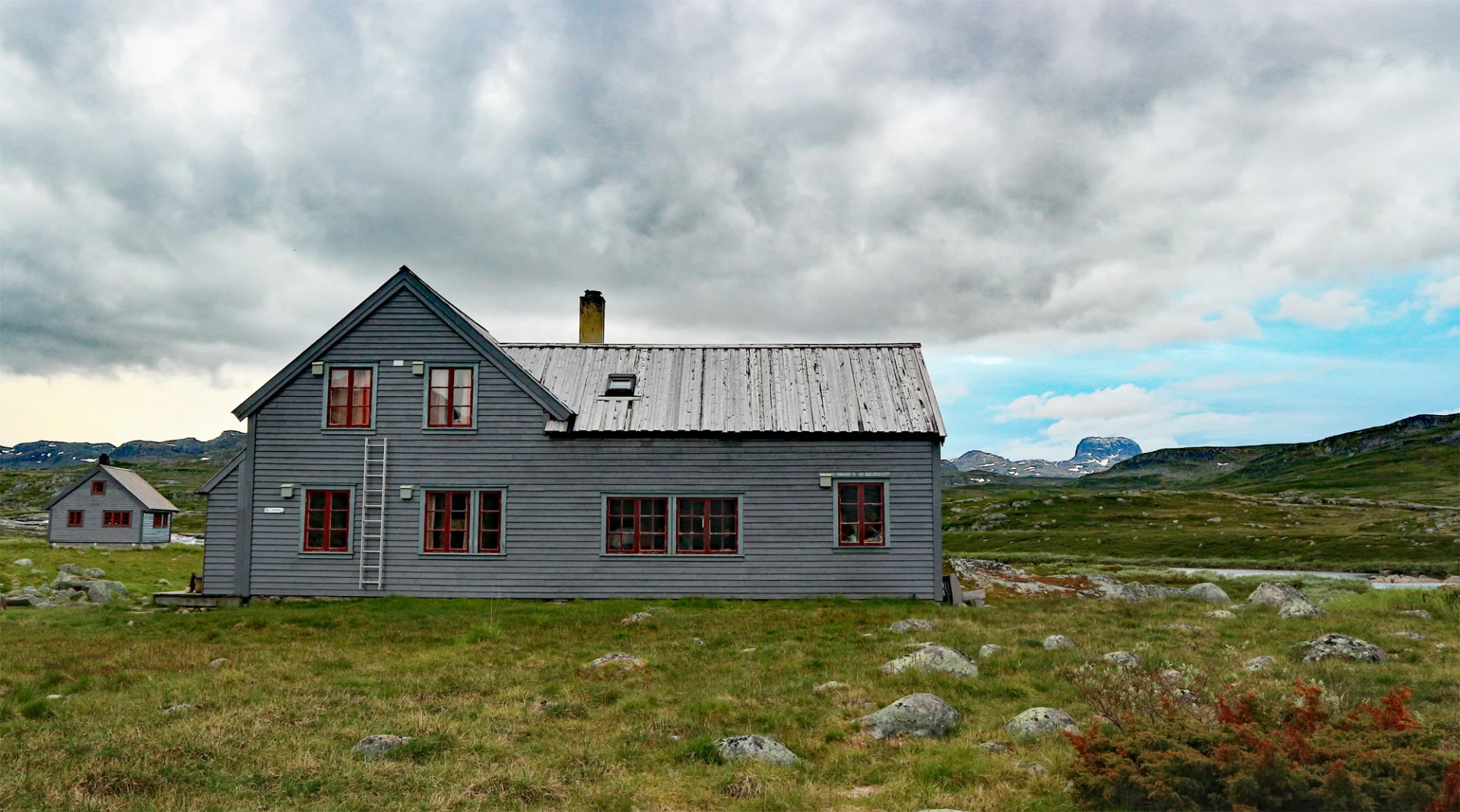
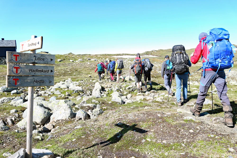
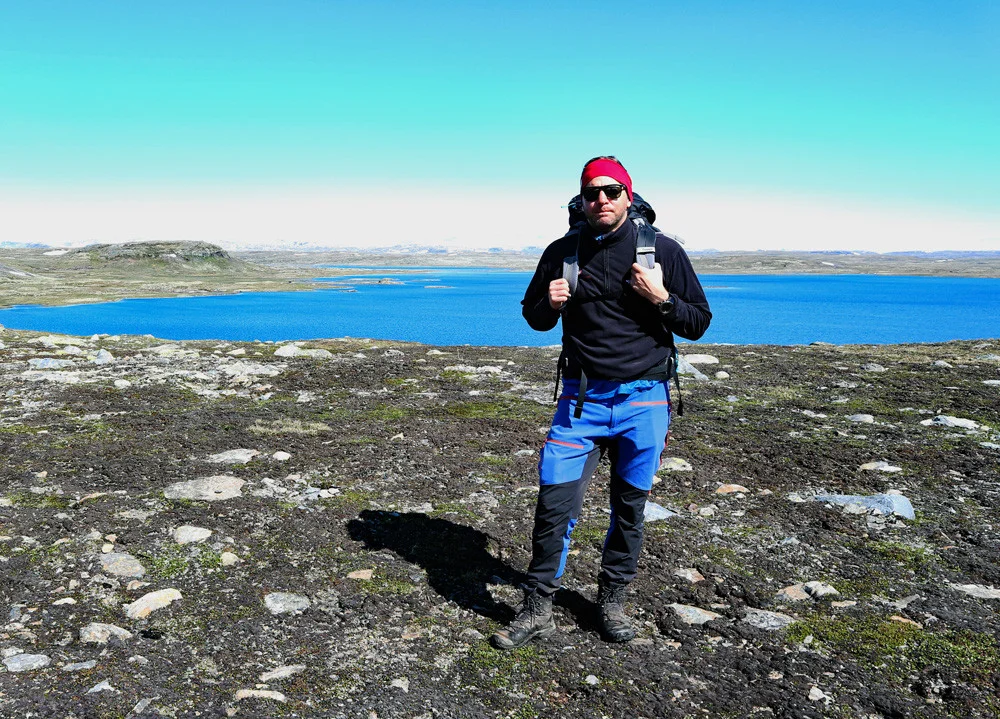
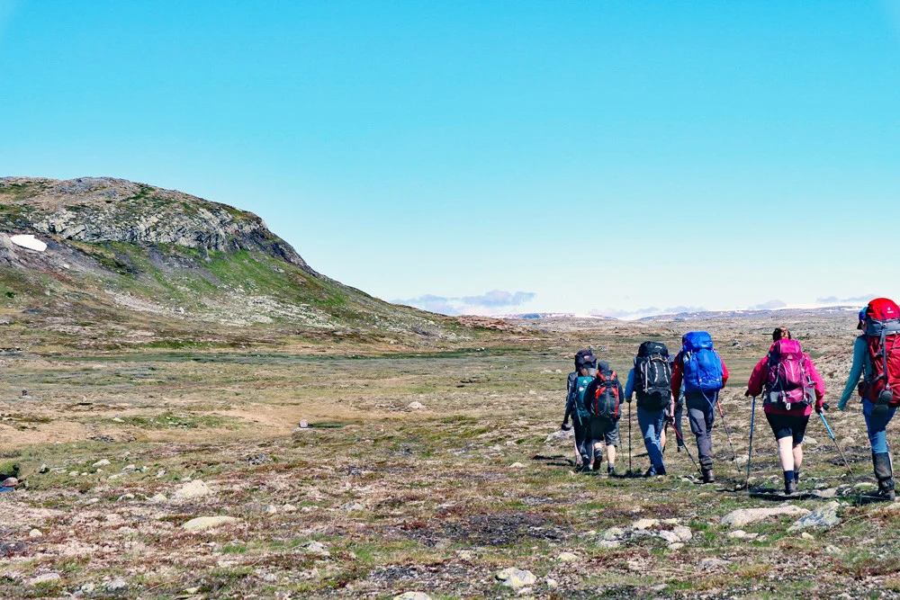
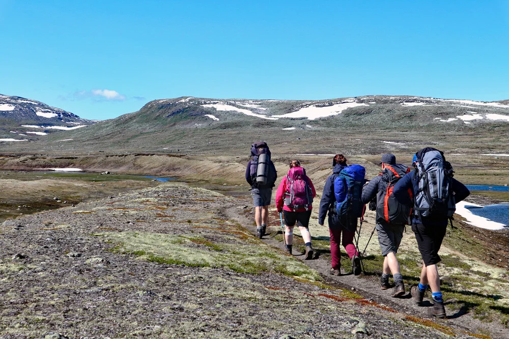
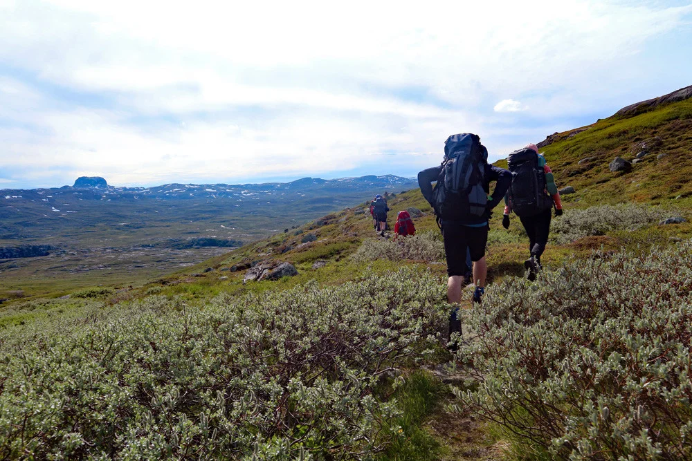
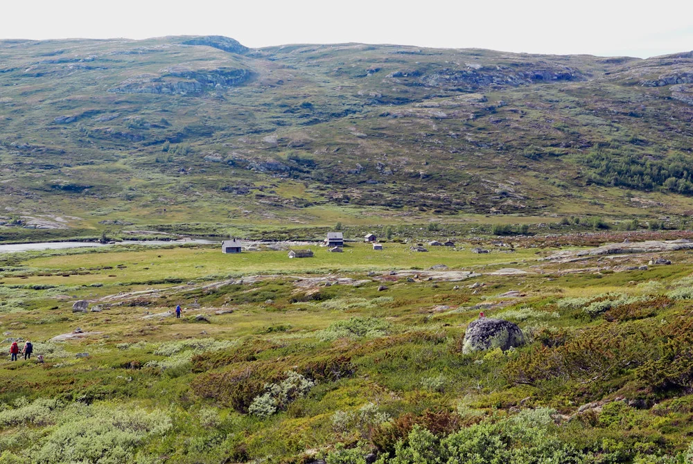
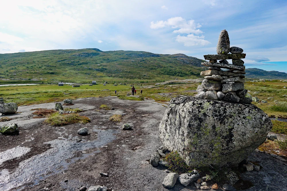
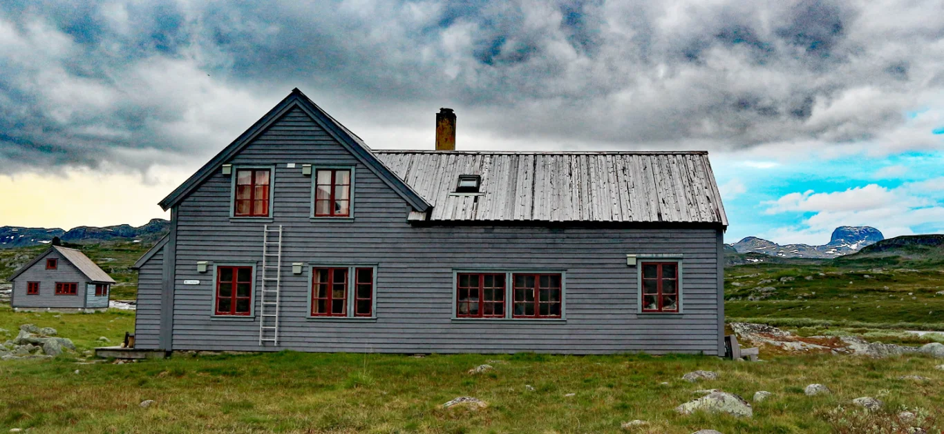
Hardangervidda part 5: Besso Tourist Hut to Hadlaskard (1004 m above sea level)
Information
Length: Approximately 24 km
Time: Approximately 8 hours
Elevation gain: 500 meters
Season: June - Oct
Time: Approximately 8 hours
Elevation gain: 500 meters
Season: June - Oct

Processing elevation data.. .
You use GPX files that you download from our server 100% at your own risk.
Accommodation nearby


Hot
Distance
34.11 Km
Hiking nearby

Distance
8.37 Km


Distance
24.2 Km


Distance
26.73 Km


Distance
28.27 Km