
Bondhusvatnet (188 m.) from Bondhus
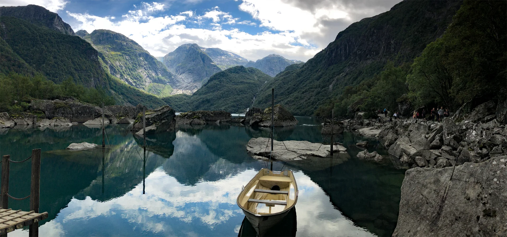
Bondhusvatnet (188 moh.) fra Bondhus
Photo: Admin

The GPX Track is for guidance only and may contain errors. Use at your own risk.
– always check maps, weather and conditions before your trip.

Access

From Bergen, drive to Fusa and continue towards Gjermundshavn. Take the ferry to Årsnes and turn left north on Løfallstrandsvegen. Drive past Ænes and continue to Sundal. Drive past Mauranger Kro and shortly after, turn right at the sign 'Fonnabu / Bondhusbrea' and then right again. Drive the road to the end where you arrive at the hiking park.
It is approximately 2 hours 50 minutes drive from Bergen.

Parking

Bondhusdalen Parking space. NOK 100,- per day. Payment with Vipps.

Description

This is an easy walk that is suitable for everyone. From the parking lot, cross the bridge over the Bondhuselven River. From there, follow the gravel road up to Bondhusvatnet (about 1 hour at a leisurely pace). Also suitable for strollers.

Up at Bondhusvatnet you can continue on the path (right side) along the water. The path is good, but not suitable for strollers. You cross bridges with beautiful waterfalls. The path leads you to the southern end of the water. Here is a beautiful beach.

Have a good trip!

[widgetkit id='1191']

Information

Bondhusvatnet (188 m. above sea level)
Length round trip (to the end of the water): Time: 3 hours
Season: All year round.
Grading: Simple

Processing elevation data.. .

You use GPX files that you download from our server 100% at your own risk.

Accommodation nearby

Hiking nearby