
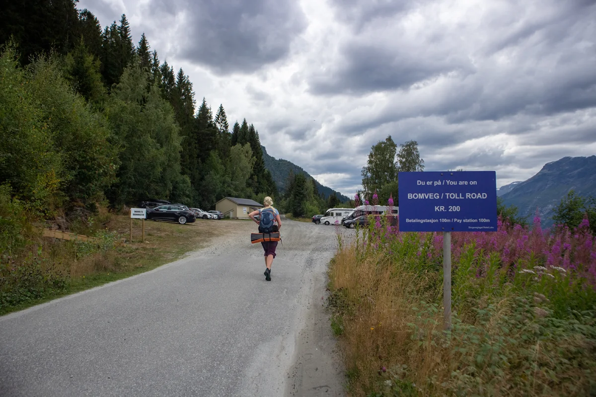
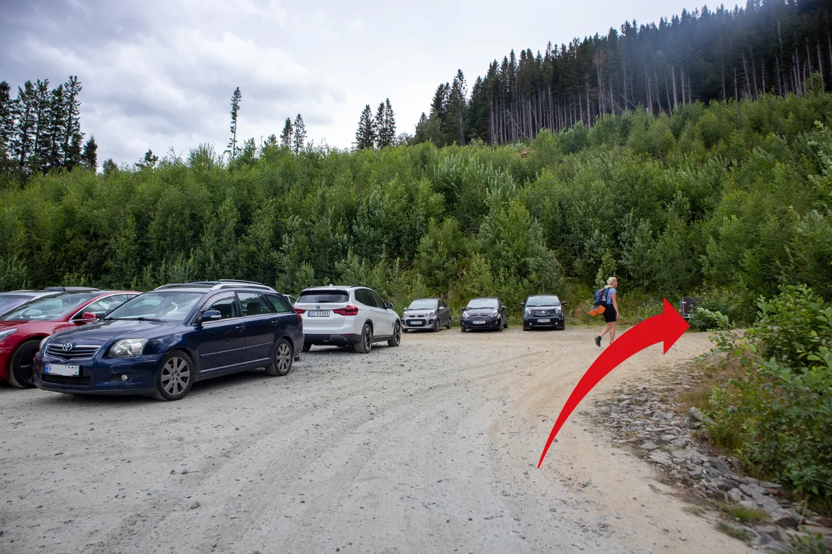
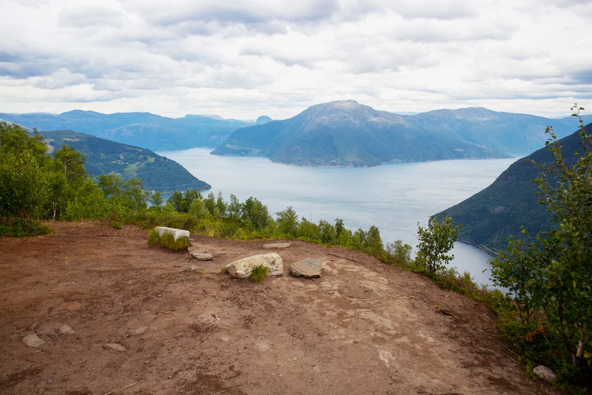
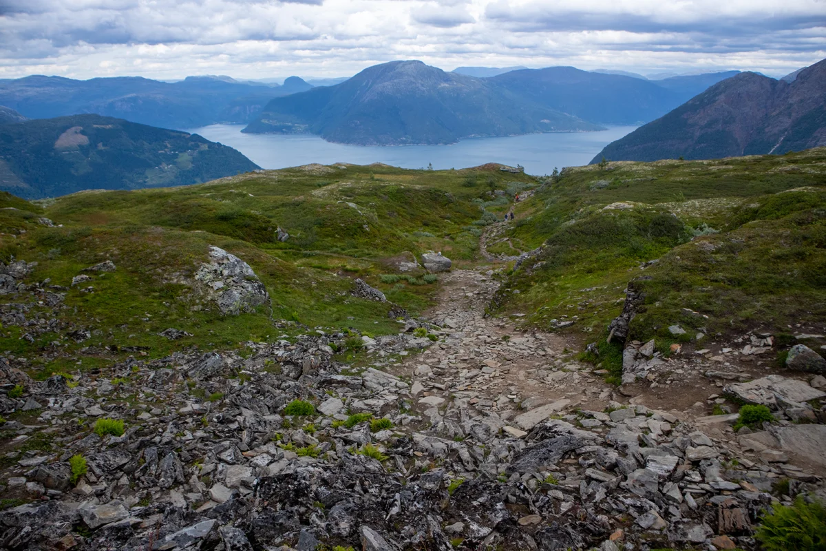
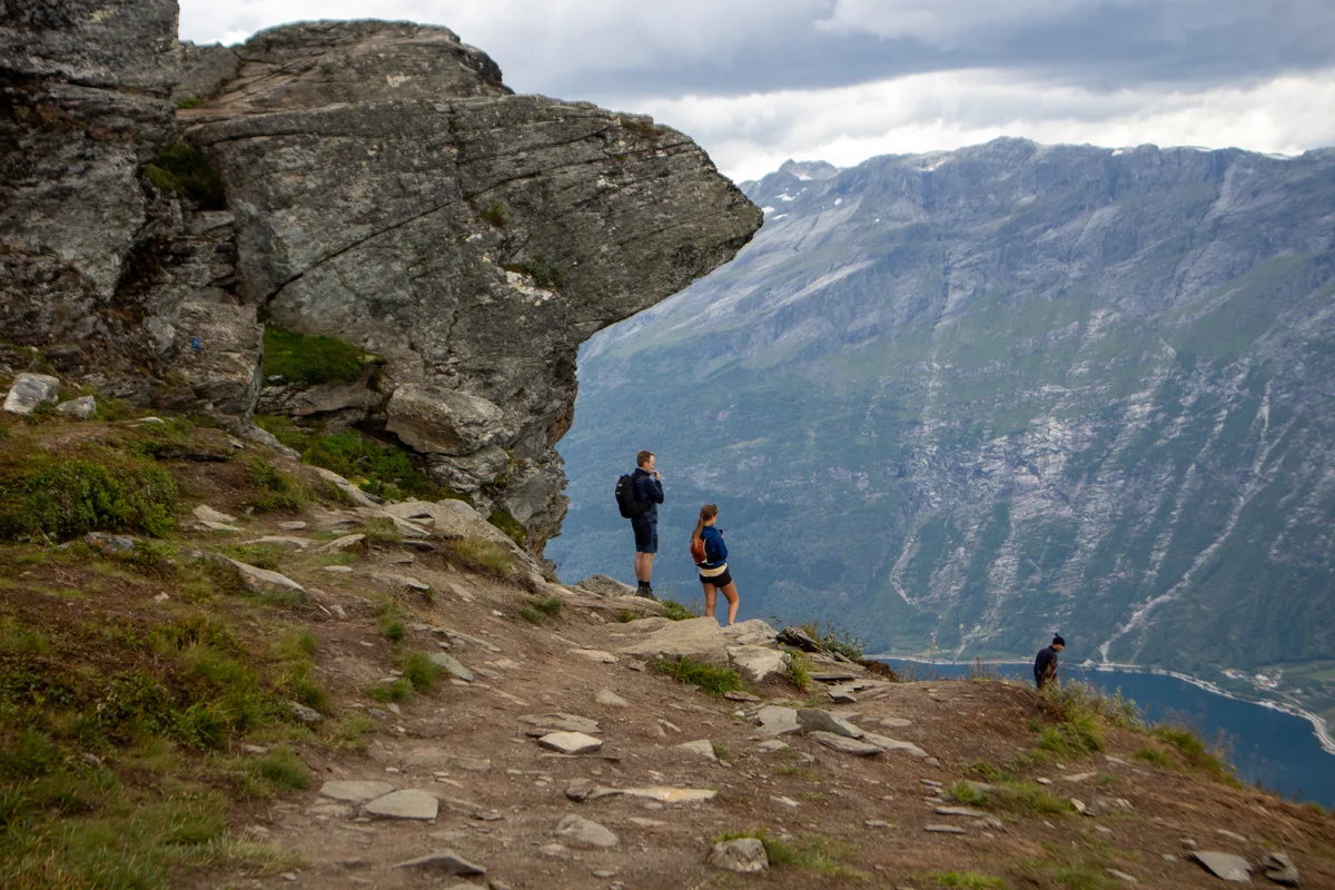
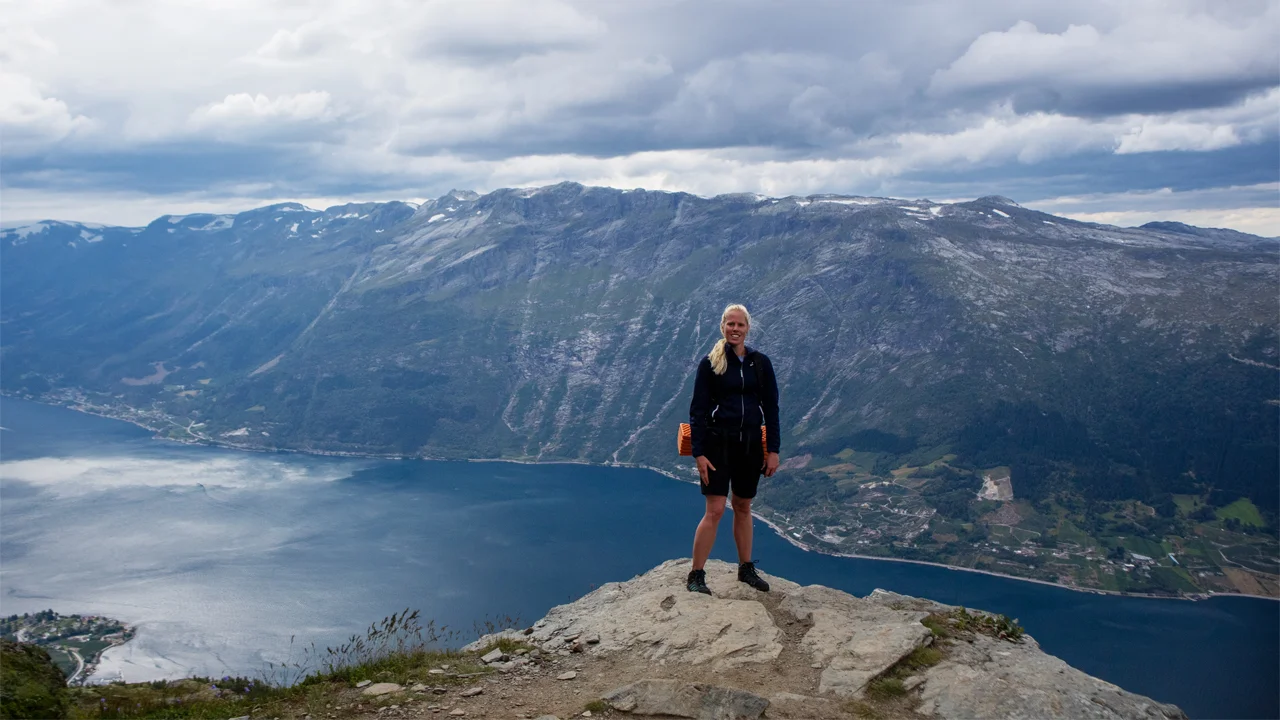
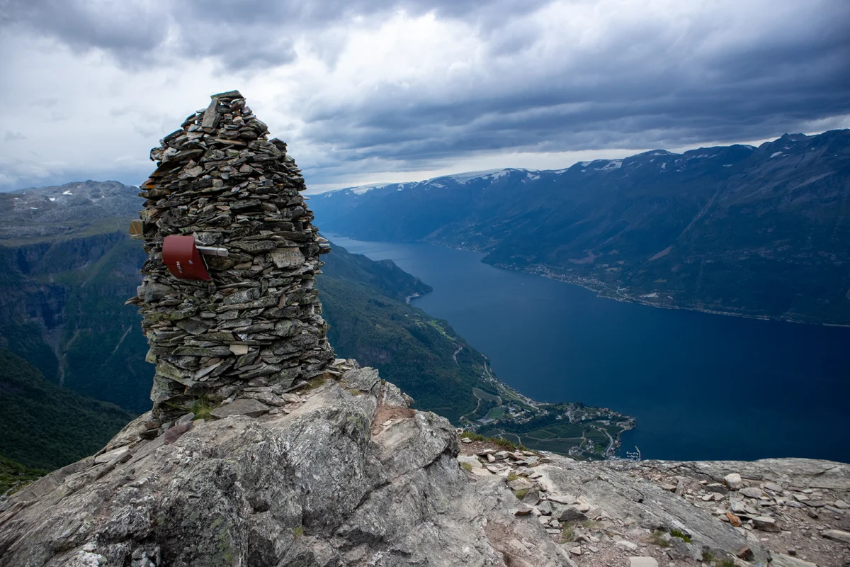
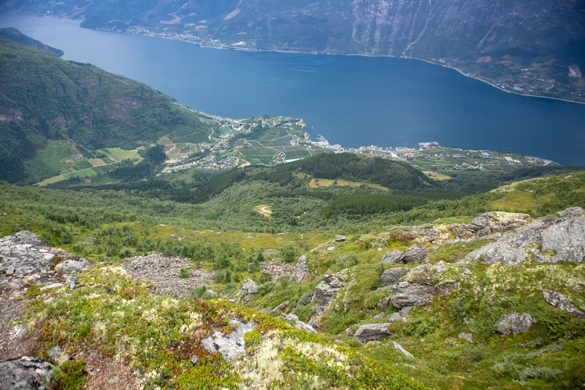
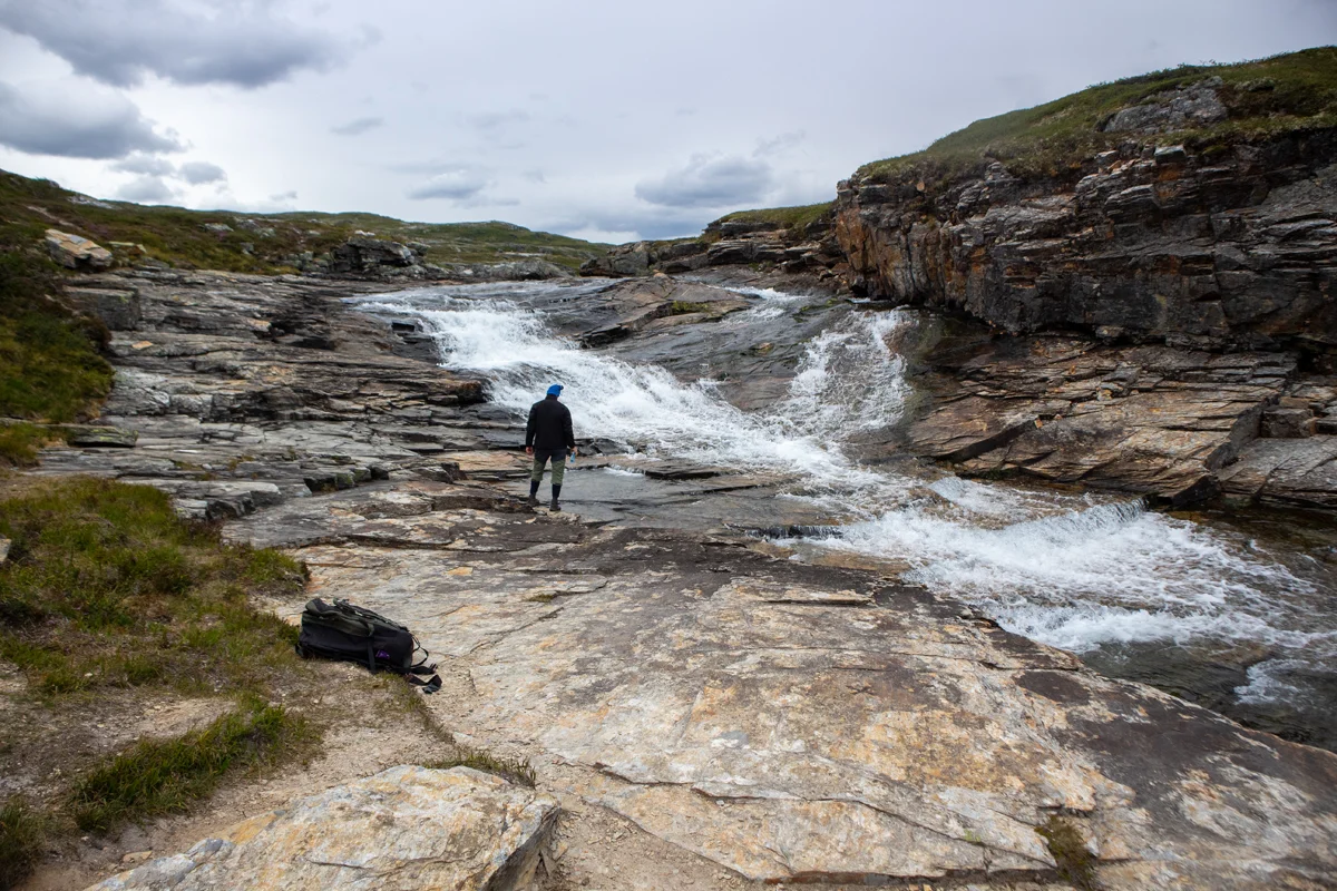
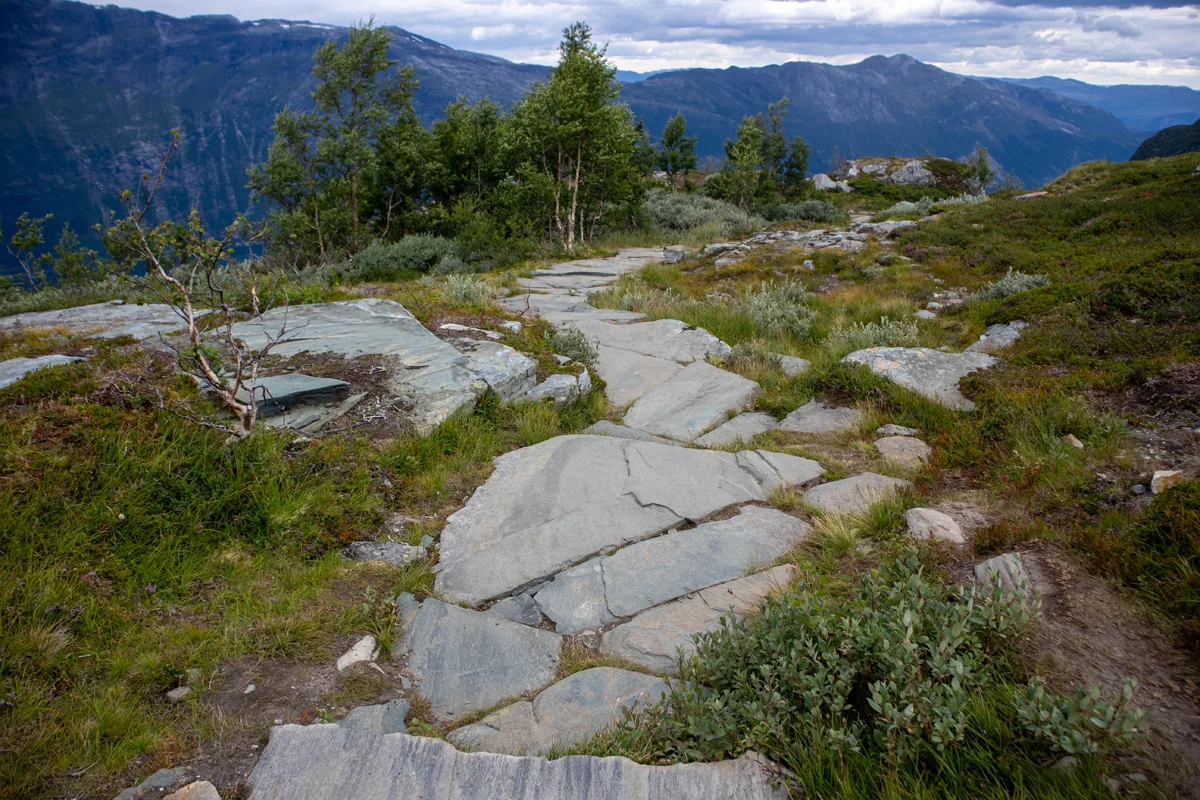
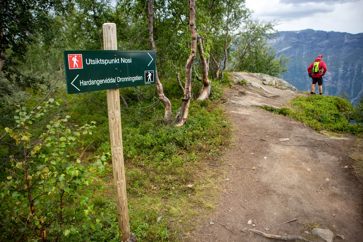
Hike over the Queen's Trail in Hardanger
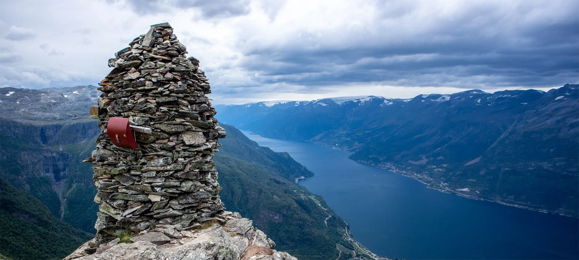
Fottur over Dronningstien i Hardanger
Photo: Jeanette E.

The GPX Track is for guidance only and may contain errors. Use at your own risk.
– always check maps, weather and conditions before your trip.

Access

Approximately 2 hours 25 minutes (157 km) drive from Bergen.

Parking

Parking for a fee. Payment with Vipps.

Description

The most common way to start the hike is at Røte and walk over the mountain down to Lofthus. It is also possible to walk the opposite way.

If you have two cars, park one car in Lofthus and the other in Røte.
You can also take the bus back to Kinsarvik. Get off at Røte and then walk up to pick up your car.

3rd option is to park the car in Lofthus, take the shuttle bus in the morning to the start of the tour at Røte.

We started this hike at Røte lower parking. From here you can either walk the road to the upper parking or take a shortcut through the forest. (See sign at the beginning of the lower parking).

From the upper parking lot, a gravel road winds up the mountainside. At about 750 meters above sea level, the gravel road turns into a path. Follow the Queen's Path, which moves south parallel to the Sørfjord. There are great views all the way and many tough viewpoints. The cairn at the mountaintops Duk (1105 meters above sea level) and Nosi (905 meters above sea level). The latter is a detour just before the descent to Lofthus. The trip is well marked and the path is good. Just before the descent at Rjukande, the path turns sharply to the north-west. Then you enter the 'Monks' Stairs', which were built by local monks in the 13th century.

The last part of the trip down to Lofthus is on a path and then on a tractor road. To save time, you can walk the paths through the forest.

Poles are recommended for the descent to Lofthus.

Have a good trip!

Information

The highest point of the Queen's Trail (1140 m. above sea level)
Length: about 16 km.
Time: Approximately 6 hours.
Elevation: Approximately 1200 m.
Season: Summer and autumn.
High mountain boots are recommended.
Grading: Demanding

Processing elevation data.. .

You use GPX files that you download from our server 100% at your own risk.

Accommodation nearby

Hiking nearby