
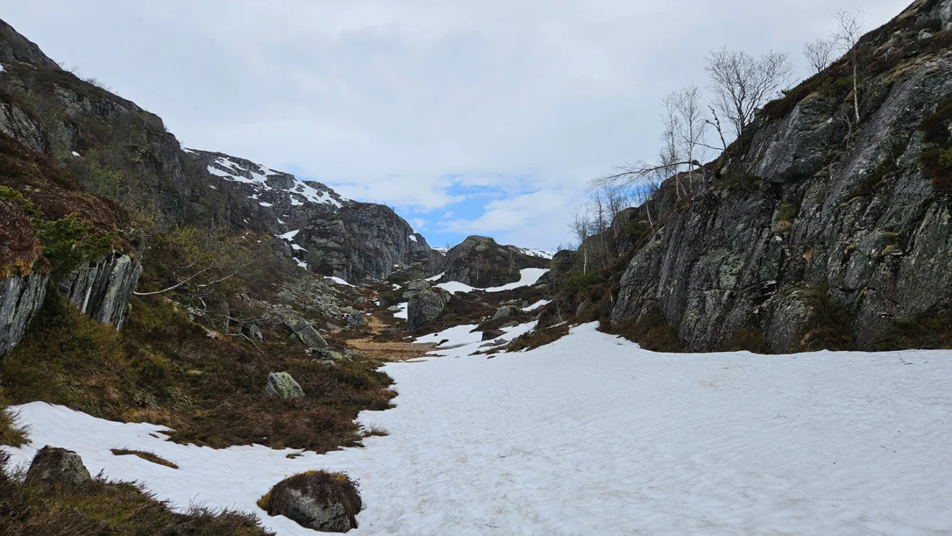
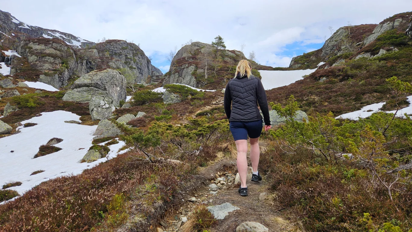
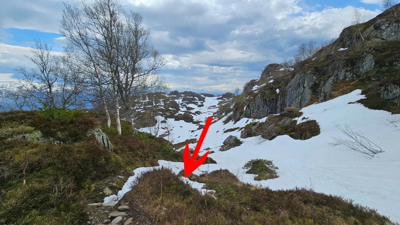
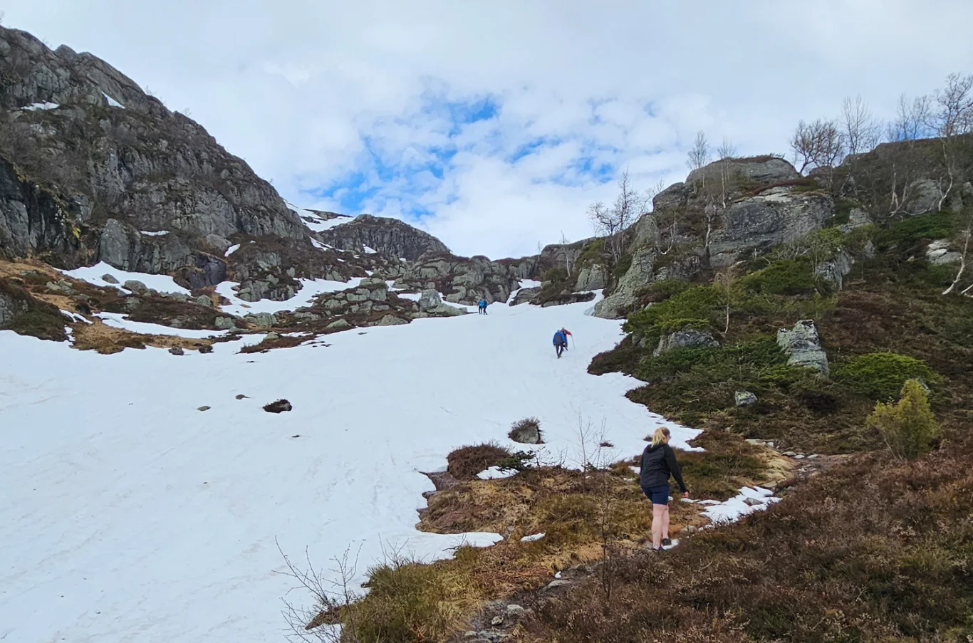
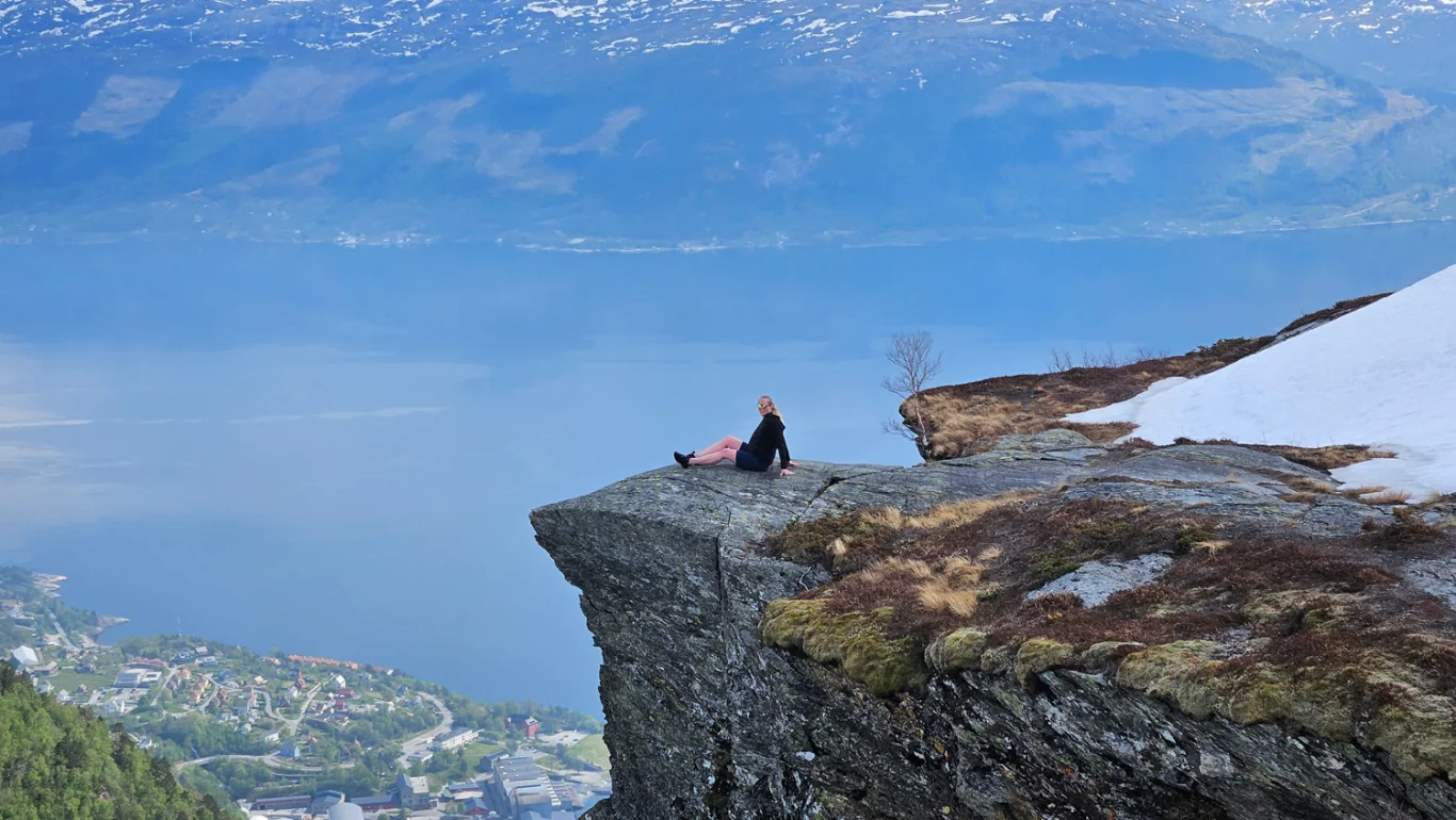
Vikedalsnebbet (768 m) in Ålvik
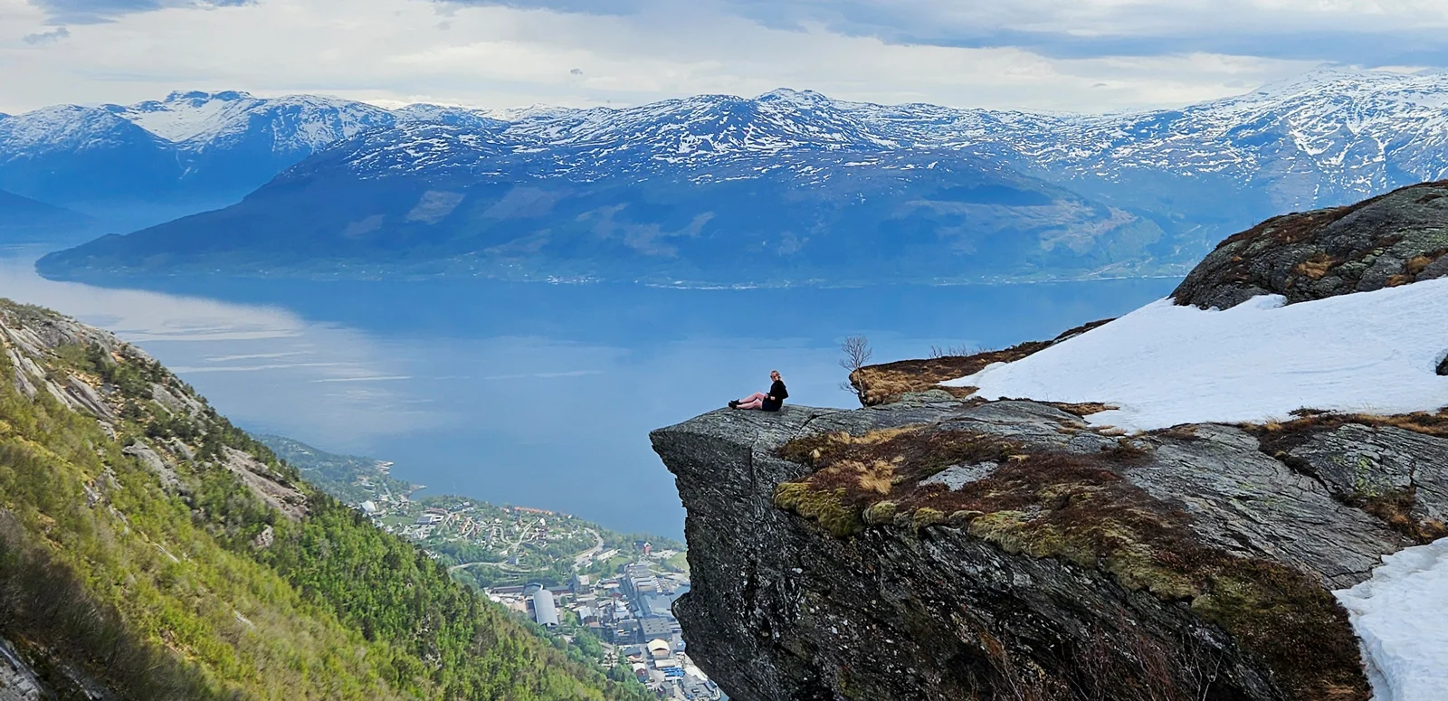
Vikedalsnebbet (768 moh) i Ålvik
Photo: Admin

The GPX Track is for guidance only and may contain errors. Use at your own risk.
– always check maps, weather and conditions before your trip.

Access

Approximately 2 hours (104 km) drive from Bergen.
NB: Be careful if you use Google Maps. It will lead you the wrong way up to Damvegen. You have to drive all the way to Ålvik and then turn left at the sign for Damvegen.

Parking

Great hiking parking at the top of Damvegen.

Description

This is a short hike up to Vikedalsnebbet, a rock formation that juts out from the mountain.

From here you can enjoy a spectacular view of Ålvik and the Hardangerfjord. However, it is important to be careful at the edge if you suffer from a fear of heights or tend to feel uncomfortable at heights.

Information

Vikedalsnebbet (768 m.)
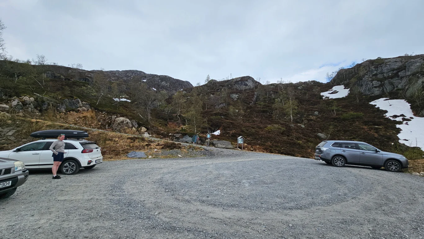
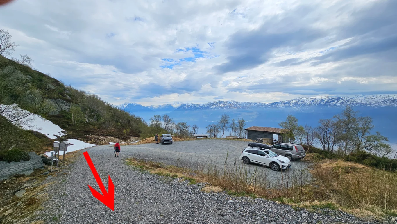
Length round trip approx. 3.4 round trip
Time: about 1-2 hours round trip.
Season: Spring/summer/autumn.
Grading: Medium

Processing elevation data.. .

You use GPX files that you download from our server 100% at your own risk.

Accommodation nearby
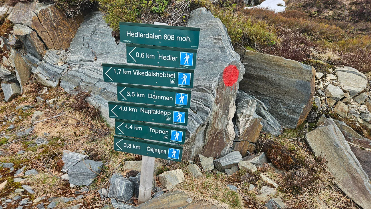
Hiking nearby