Mountain hike to Myrhyrna / Myrhønna (1448 m above sea level) from Jostedalen
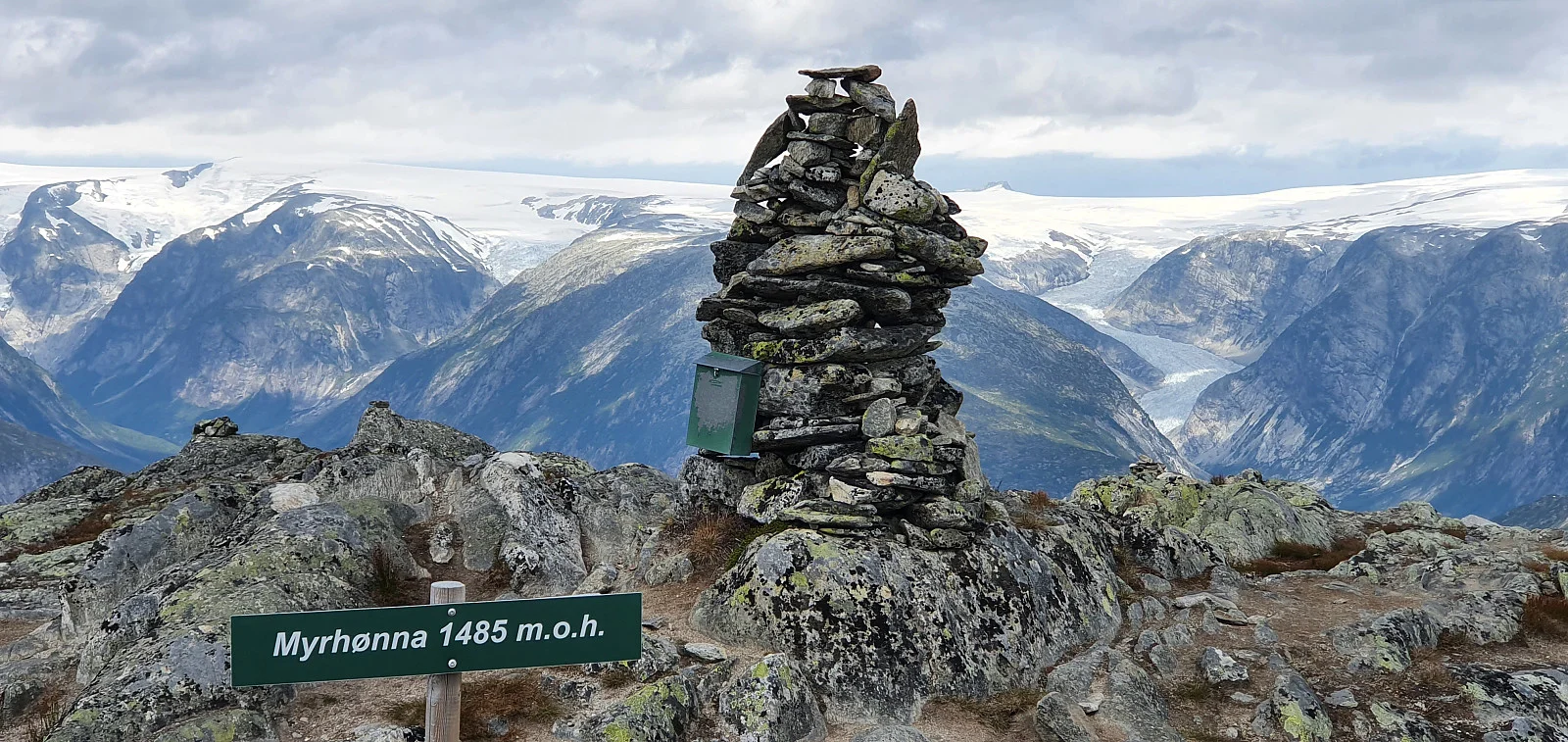
Photo: Johan Solberg
The GPX Track is for guidance only and may contain errors. Use at your own risk.
– always check maps, weather and conditions before your trip.
Access
Approximately 5 hours 13 minutes (300 km) drive from Bergen.
Parking
Parking at Vanndalsvatnet.
Description
From the parking lot, Myrhønna is located to the northwest.
Myrhyrna, also known as Myrhorn, is a mountain in Jostedalen in Luster. The mountain has an altitude of 1480 meters above sea level and has a characteristic cone shape.
Information
Length: Approximately 10.6 km round trip
Time: Approximately 5 hours round trip
Elevation gain: 441 meters
Season: June - Sep
Time: Approximately 5 hours round trip
Elevation gain: 441 meters
Season: June - Sep
Grading: Demanding
Processing elevation data.. .
You use GPX files that you download from our server 100% at your own risk.
Accommodation nearby
Hiking nearby
Distance
26.37 Km