
Hike to Brenndalsbreen Glacier from Aabrekk in Oldedalen

Vandretur til Brenndalsbreen fra Aabrekk i Oldedalen
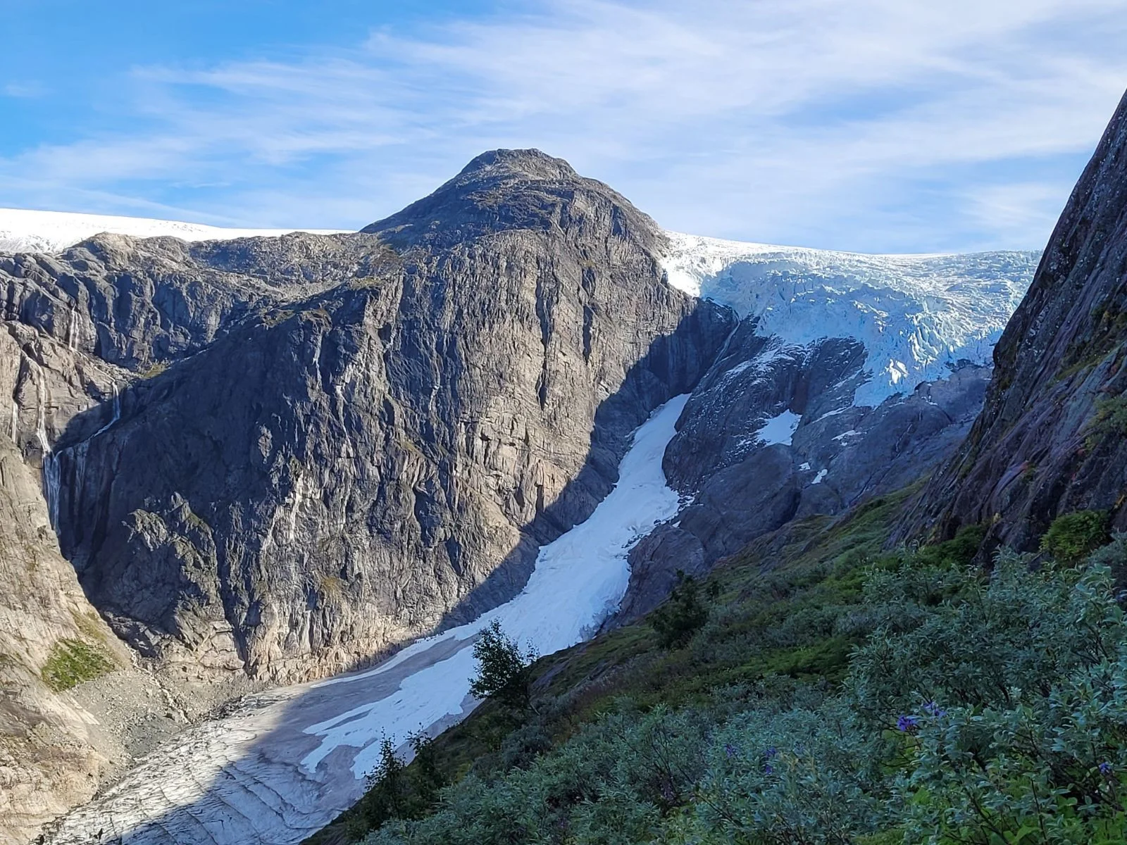
Photo: Sindre Aabrekk

The GPX Track is for guidance only and may contain errors. Use at your own risk.
– always check maps, weather and conditions before your trip.

Access

Approximately 5 hours 10 minutes (298 km) drive from Bergen.

Parking

Parking on the other side of the bridge from the main road.

Description

Start the hike from Åbrekke in Oldedalen and follow the marked trail to Brenndalsbreen.

The trail ends at about 280 m. above sea level, well below the glacier, and is a nice hike of about 3.5 km one way that anyone can walk. (This is where the GPS Track on the map goes to)  

For those of you who want to go all the way to the glacier:
For those more experienced in the mountains, you can continue all the way up to Brenndalsbreen. It is a demanding hike of about 5 km (one way) that takes 2-3 hours to reach. Enjoy spectacular views and experience the impressive glacier up close. Remember to be careful at the edge of the glacier!

Information

Length: Approximately 7 km round trip
Time: Approximately 2 hours round trip
Elevation gain: 319 meters
Season: All year round
Grading: Simple

Processing elevation data.. .

You use GPX files that you download from our server 100% at your own risk.