Hike to Nigardsbreen in Jostedalen
Vandretur til Nigardsbreen i Jostedalen
Photo: Admin

The GPX Track is for guidance only and may contain errors. Use at your own risk.
– always check maps, weather and conditions before your trip.

Access

Approximately 5 hours (300 km) drive from Bergen.

Parking

Parking is available for a fee. Pay by card or online after you drive out of the parking lot.

Description

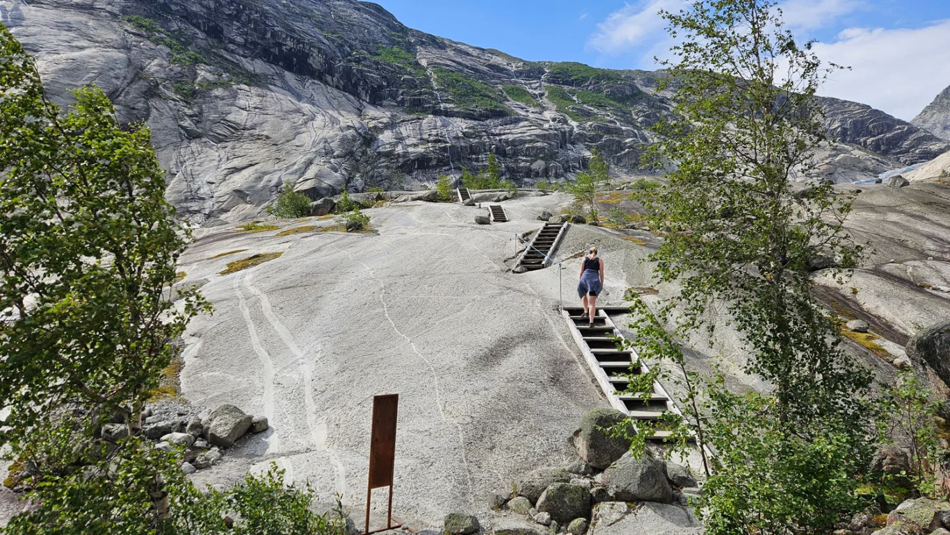
From the parking lot, it is about 3 km to walk to the glacier. The path is well-maintained with bridges and stairs.

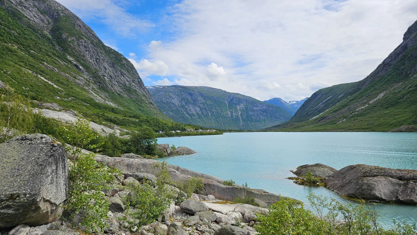
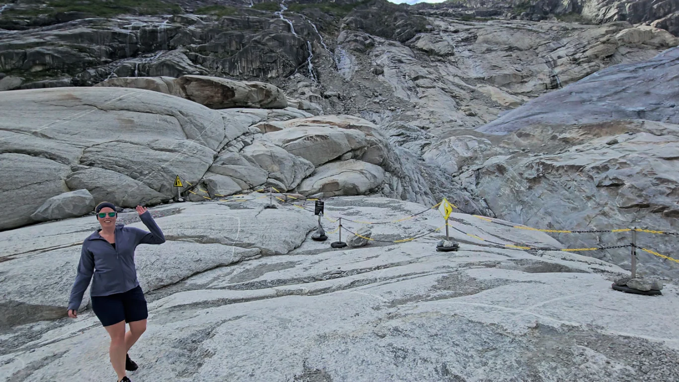
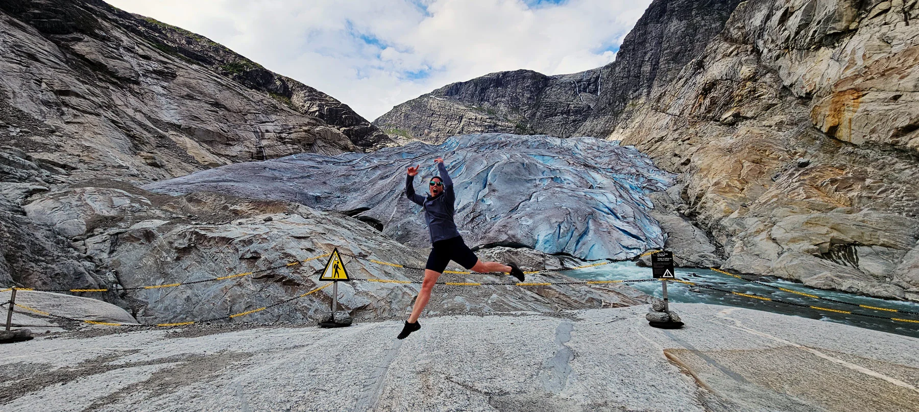
The first part goes along Nigardsbrevatnet with its very special blue color. Then the hike goes up through the valley without vegetation on rocky rocks and mountains. These rocky rocks can be slippery, so walk carefully. It is marked with small cairns where you should go. Cross the large bridge and then the small bridge. Here you will notice that the temperature becomes much colder. Then follow the markings the last part to the glacier. Remember to stay behind the barriers.

Return the same way!

Information

Length: Approximately 6 km round trip
Time: Approximately 2 hours round trip
Elevation gain: Approximately 291 meters
Season: May - Oct.
Grading: Medium

Processing elevation data.. .

You use GPX files that you download from our server 100% at your own risk.

Accommodation nearby

Hiking nearby