
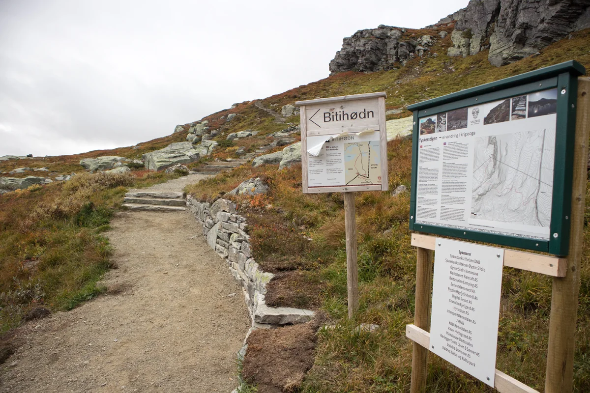
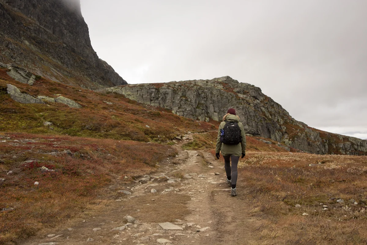
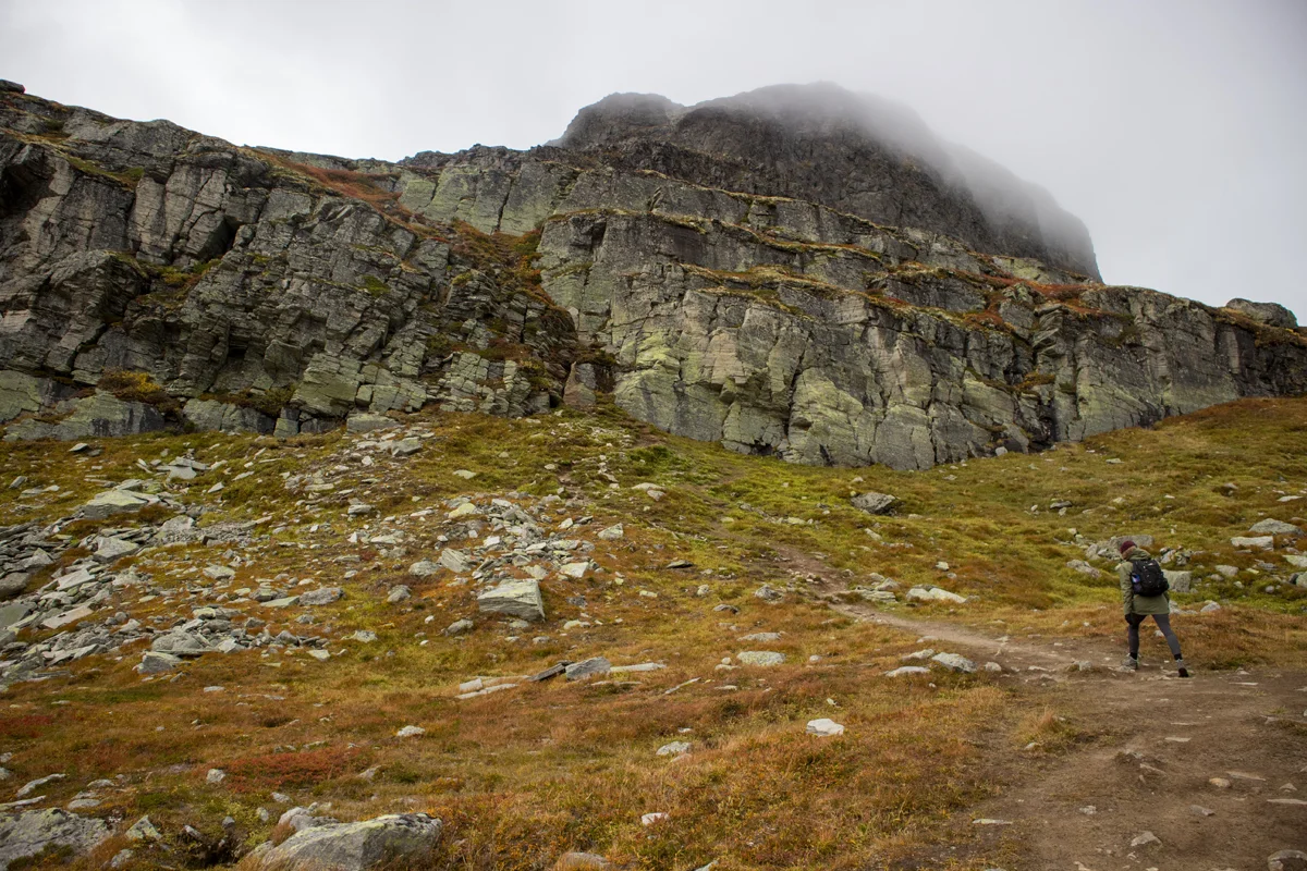
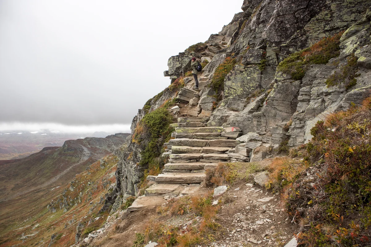
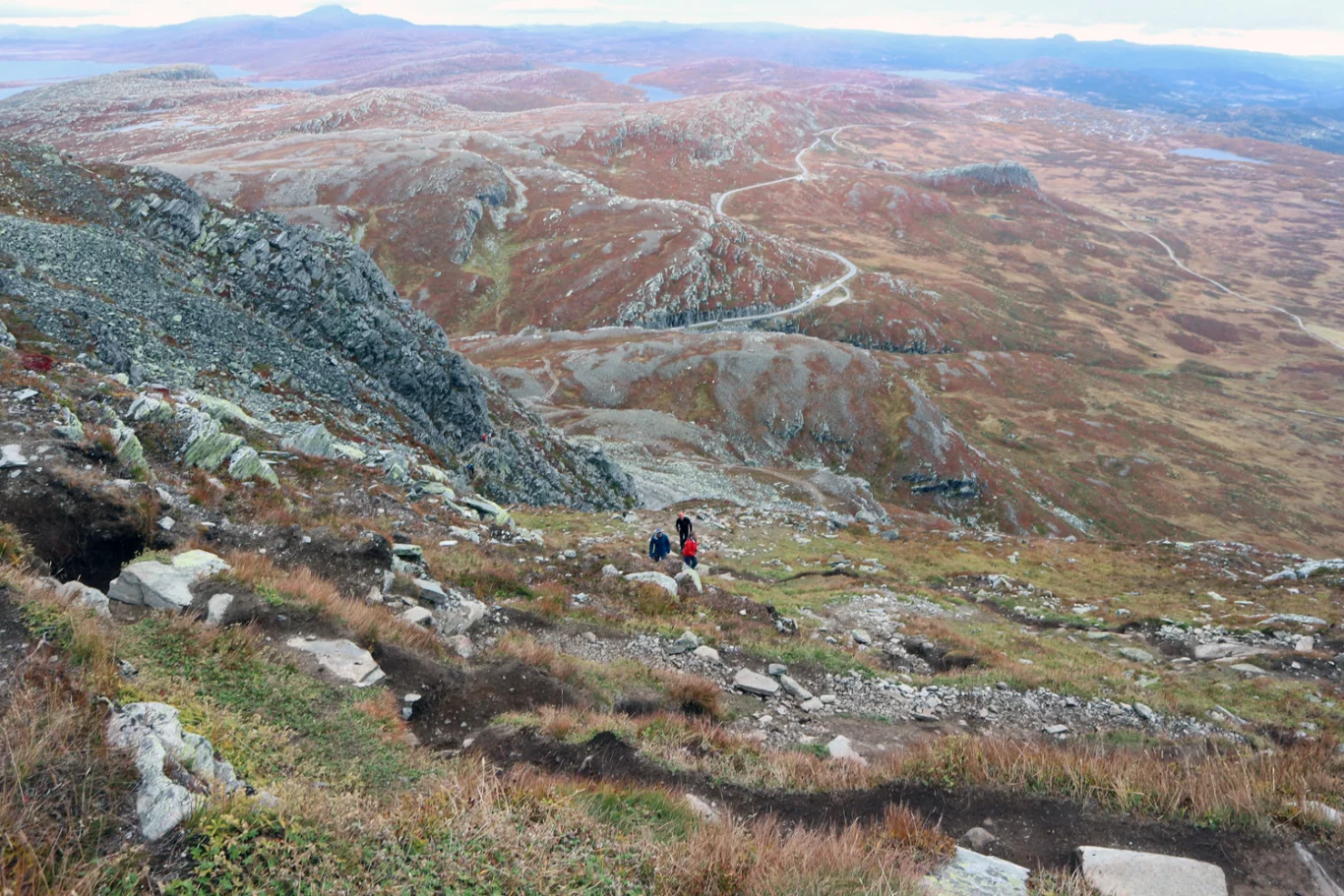
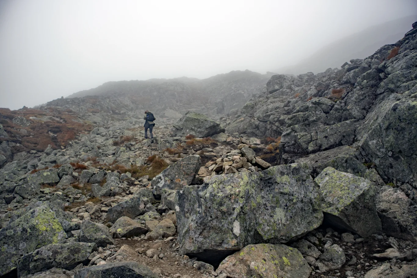
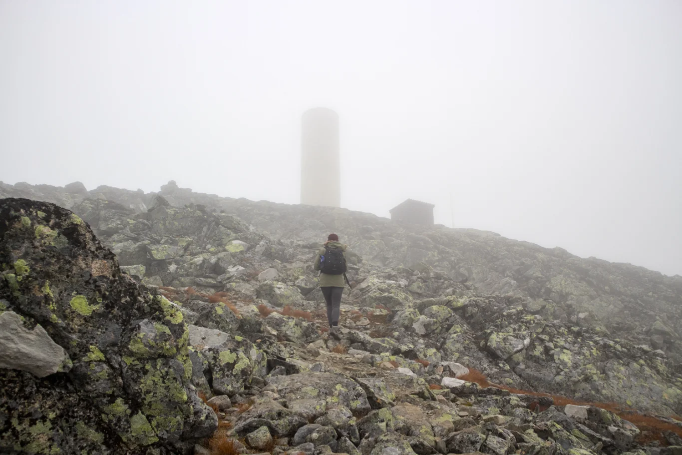
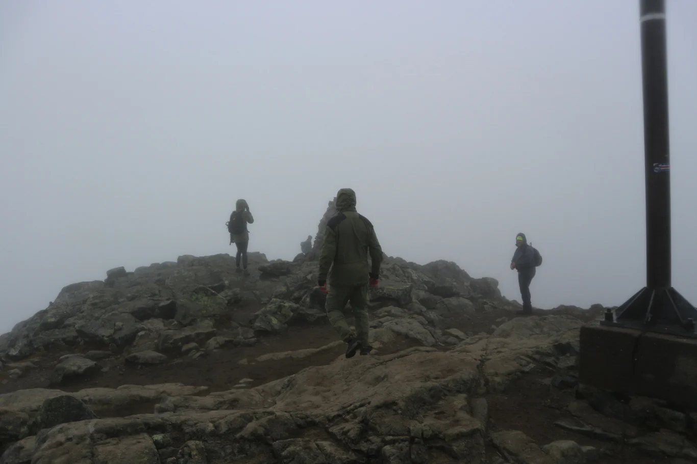
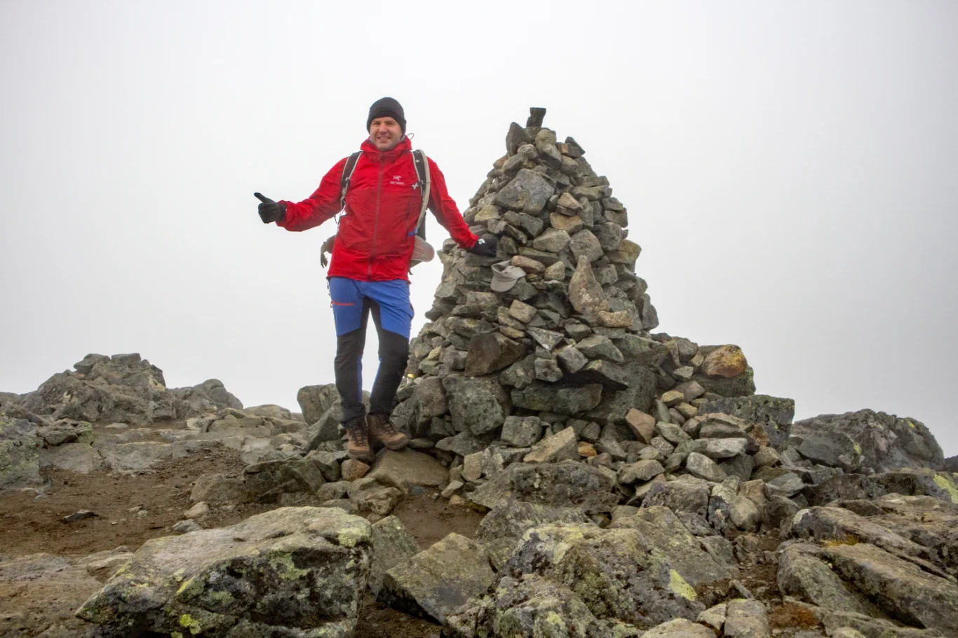
Bitihorn (1607 m) via Tyskerstigen in Jotunheimen
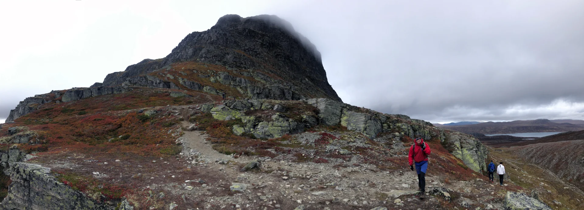
Bitihorn (1607 moh) via Tyskerstigen i Jotunheimen
Photo: Admin

The GPX Track is for guidance only and may contain errors. Use at your own risk.
– always check maps, weather and conditions before your trip.

Access

From Bergen to Beitostølen it is approx. 5 hours drive. The shortest way is to drive E16 through the Lærdal Tunnel and over Filefjell. Do not drive all the way to Fagernes, but turn left at Ryfoss where there is a sign 'Beitostølen'.
From Beitostølen it is about 10 minutes to drive to Båtskaret parking.

Parking

Free parking at Båtskaret. If it is full here, park along the road. Watch out for cars coming at high speed.

Description

From Båtskaret parking lot, the hike begins on Sherpa steps and then goes onto a rocky path. It is easy to find your way as there are many people walking here. The path is marked with red paint spots. The hike goes steeply up and there are some airy sections. All the way to the top there is a view of the northern part of Valdres.

At the top there is a panoramic view of Jotuneheimen, which I unfortunately didn't get to experience as it was foggy that day.

This is the shortest path to Bitihorn. The reason it is called the German Path is because during World War II, German Alpine hunters were sent here for special training.

I would not recommend this route to the top if you are afraid of heights. In that case it is better to go from the other side which is a much longer hike.

Have a good trip!

Information

Bitihorn (1607 m.)  
Length round trip: Approximately 4 km.
Time 2-3 hours round trip.
Season: Summer and fall. Don't go here if it's icy.
Grading: Demanding

Processing elevation data.. .

You use GPX files that you download from our server 100% at your own risk.

Accommodation nearby

Hiking nearby