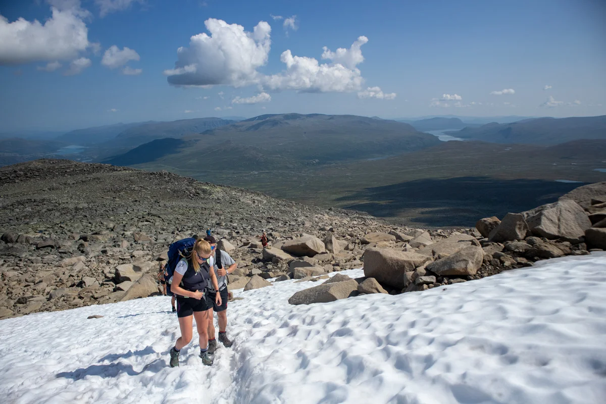
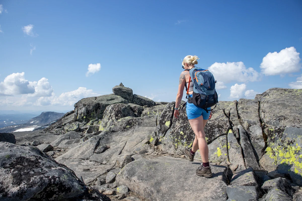
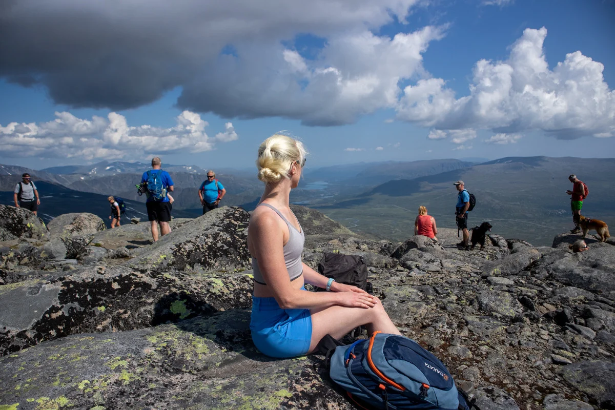
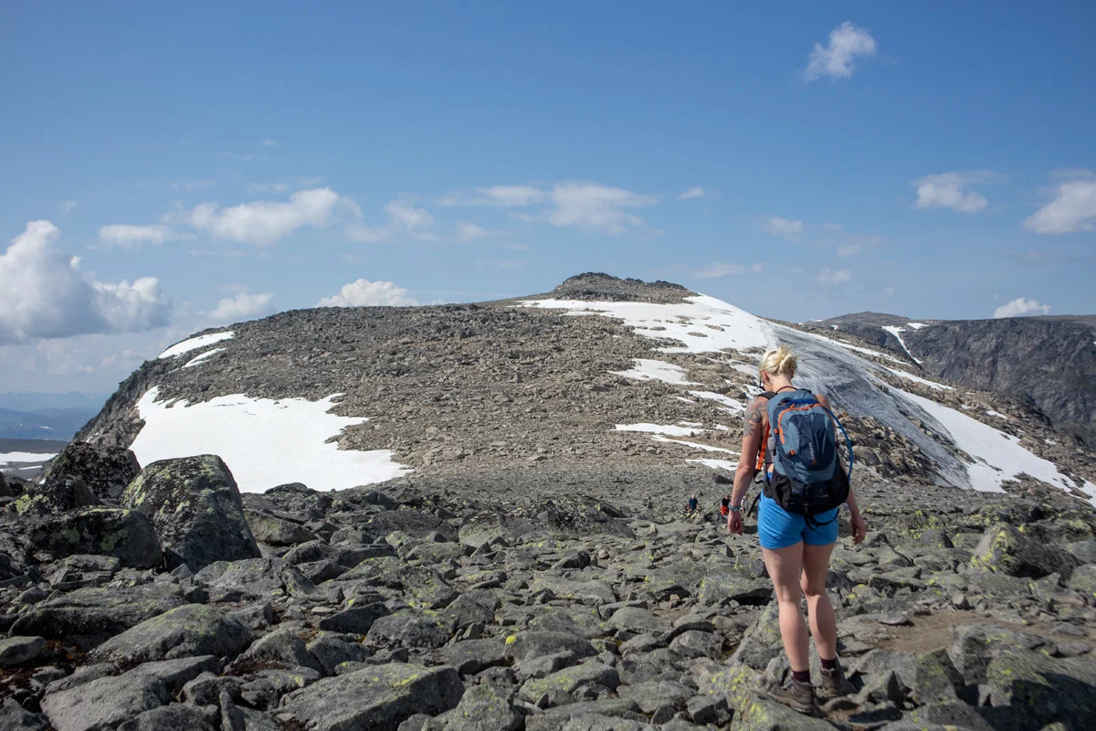
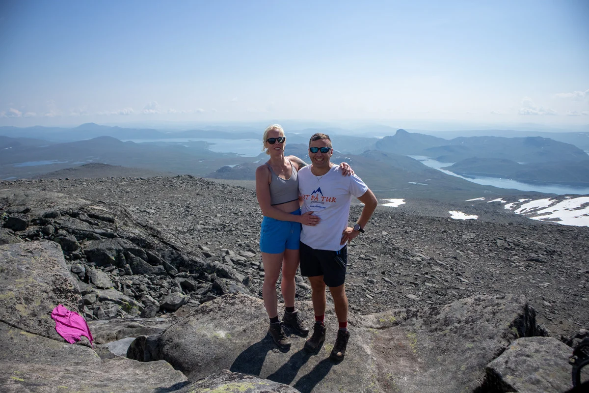
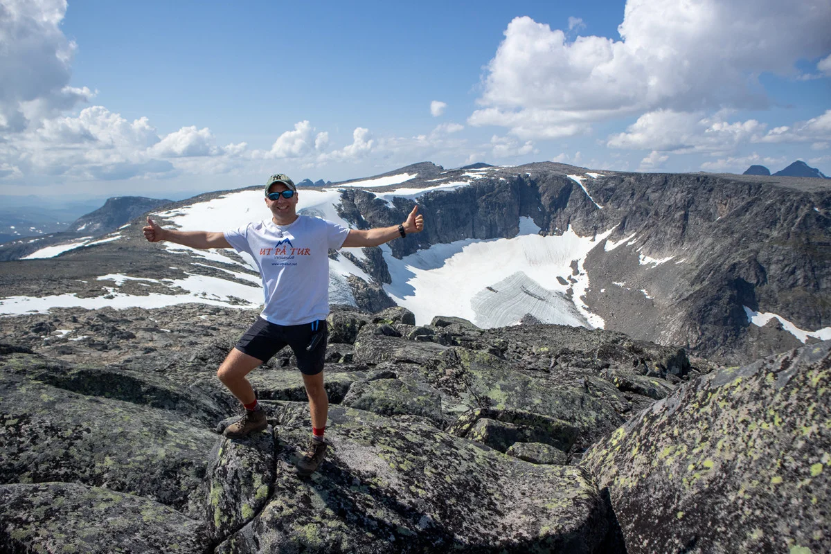
Rasletinden (2105 m) from Valdresflye in Jotunheimen
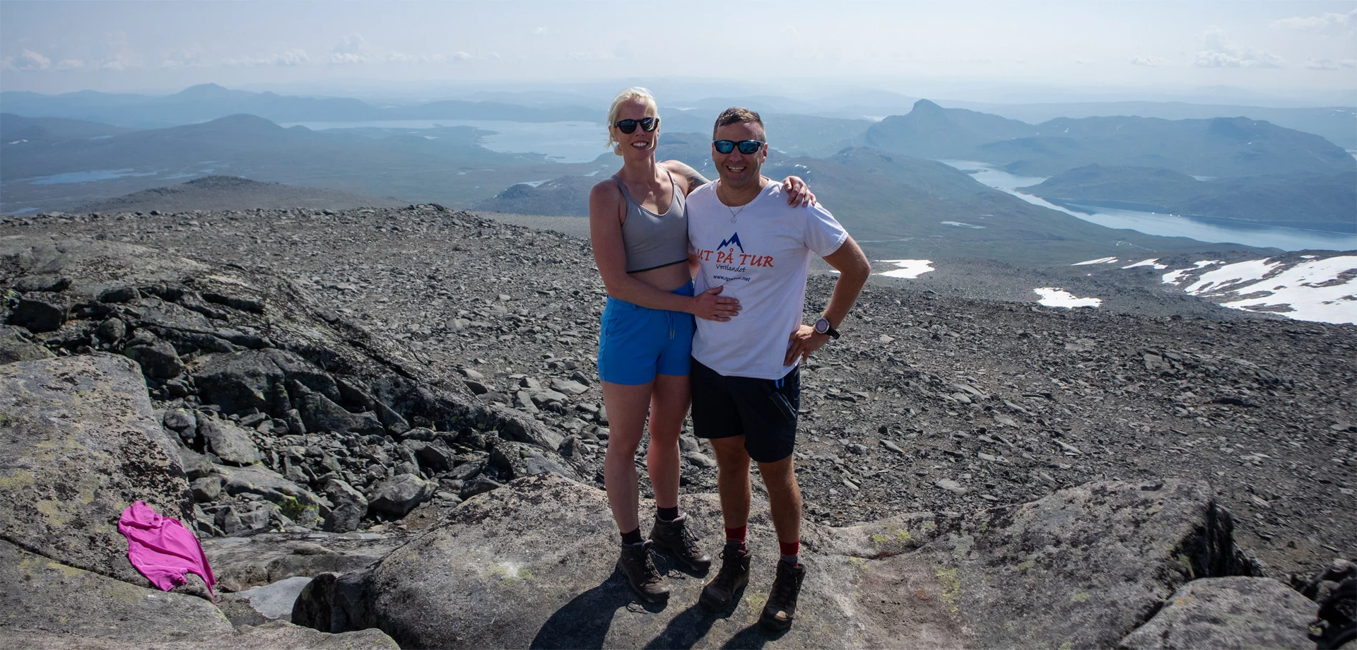
Photo: Admin
Information
Rasletinden (2105 m.)
Length round trip: approximately 16.6 km.
Round trip time approximately 6-7 hours.
Elevation gain: Approximately 700 meters.
Season: Summer, autumn.
Length round trip: approximately 16.6 km.
Round trip time approximately 6-7 hours.
Elevation gain: Approximately 700 meters.
Season: Summer, autumn.
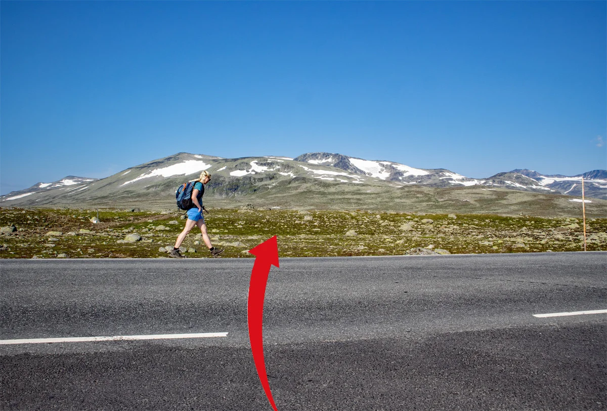
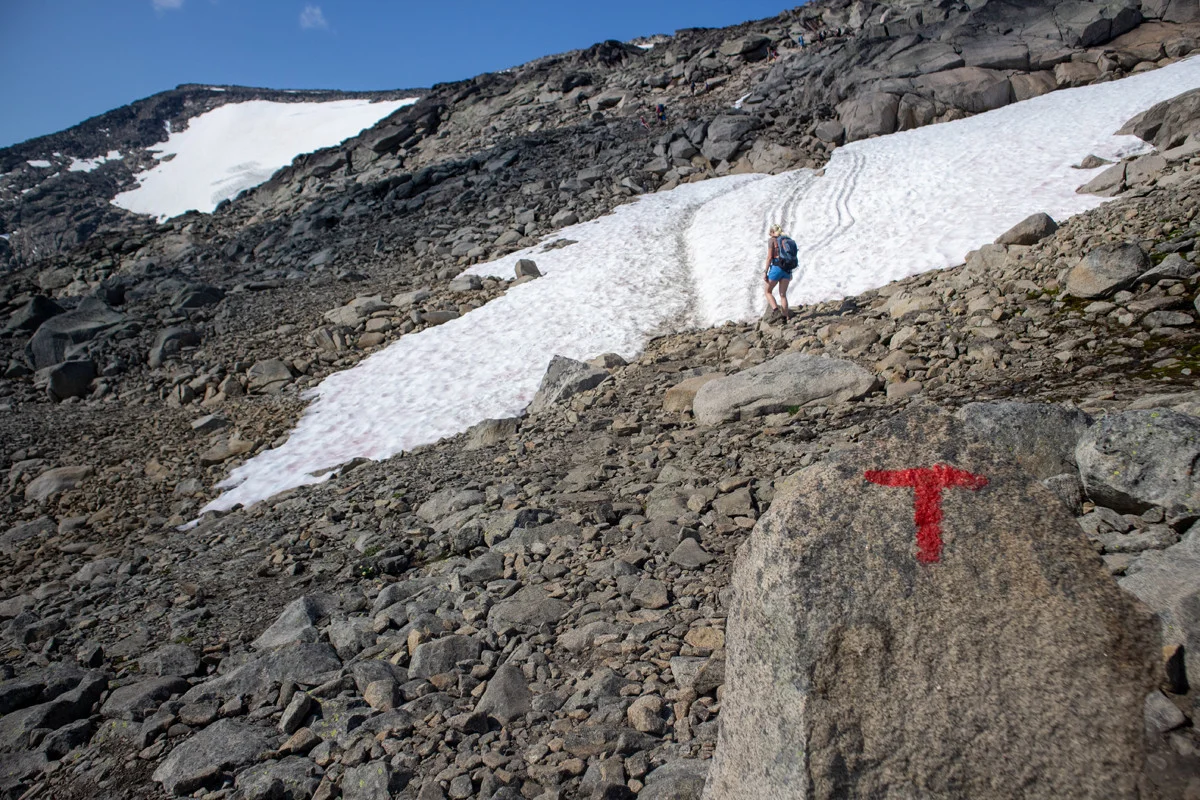
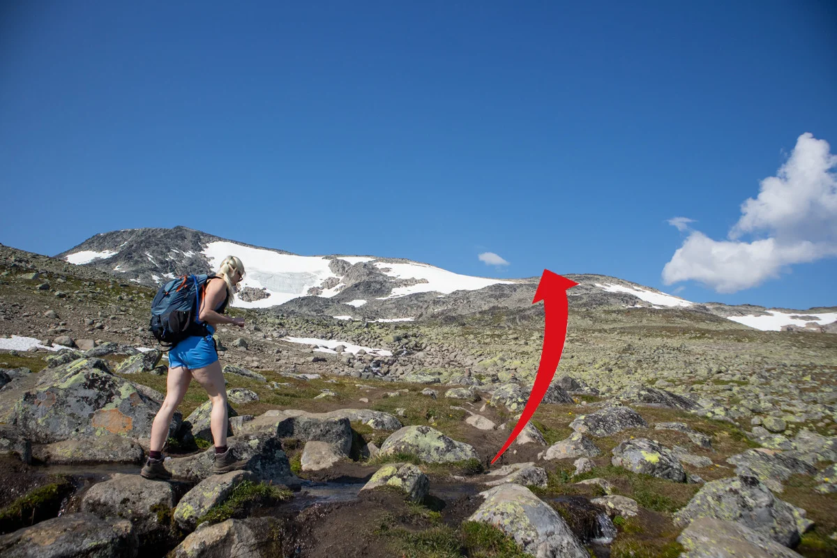
The hike takes place in rocky landscapes, so hiking boots that go above the ankle are recommended.


Processing elevation data.. .
You use GPX files that you download from our server 100% at your own risk.
Accommodation nearby


Hiking nearby


Distance
12.41 Km


