The GPX Track is for guidance only and may contain errors. Use at your own risk.
– always check maps, weather and conditions before your trip.
Access
Approximately 4 hours 45 minutes (295 km) drive from Bergen.
Approx. 3 h 40 min (237 km) drive from Oslo.
Parking
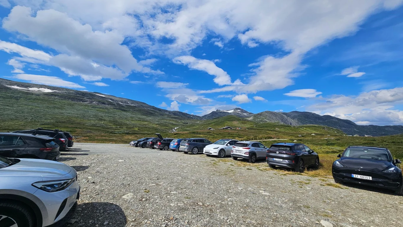
Free parking at the start of the hike. Toll fee over Slettafjellet if you come from Beitostølen.
Description
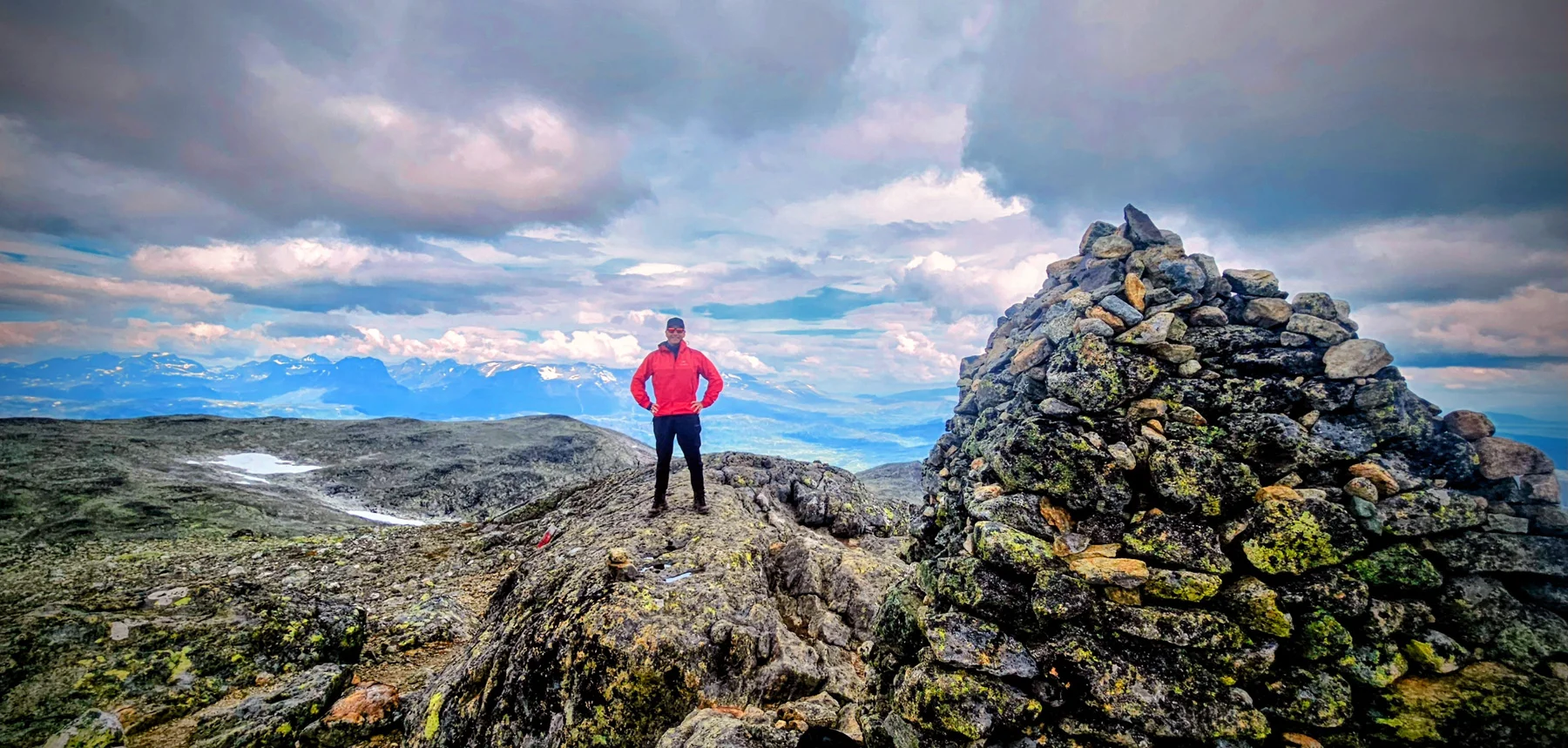
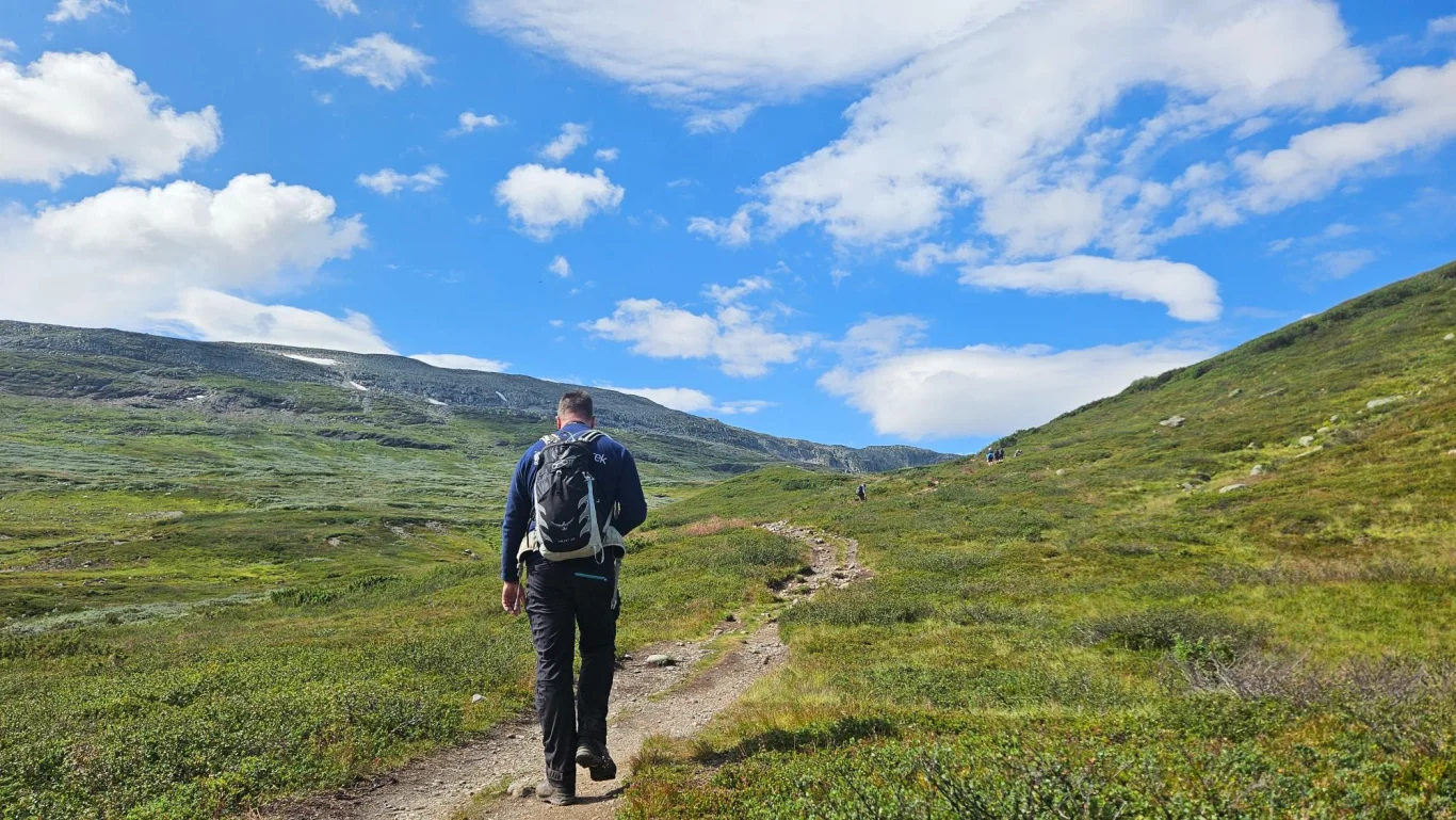
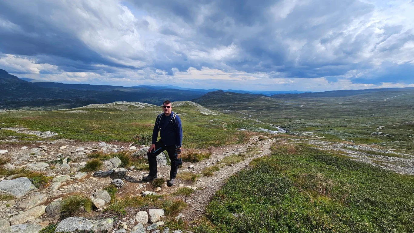
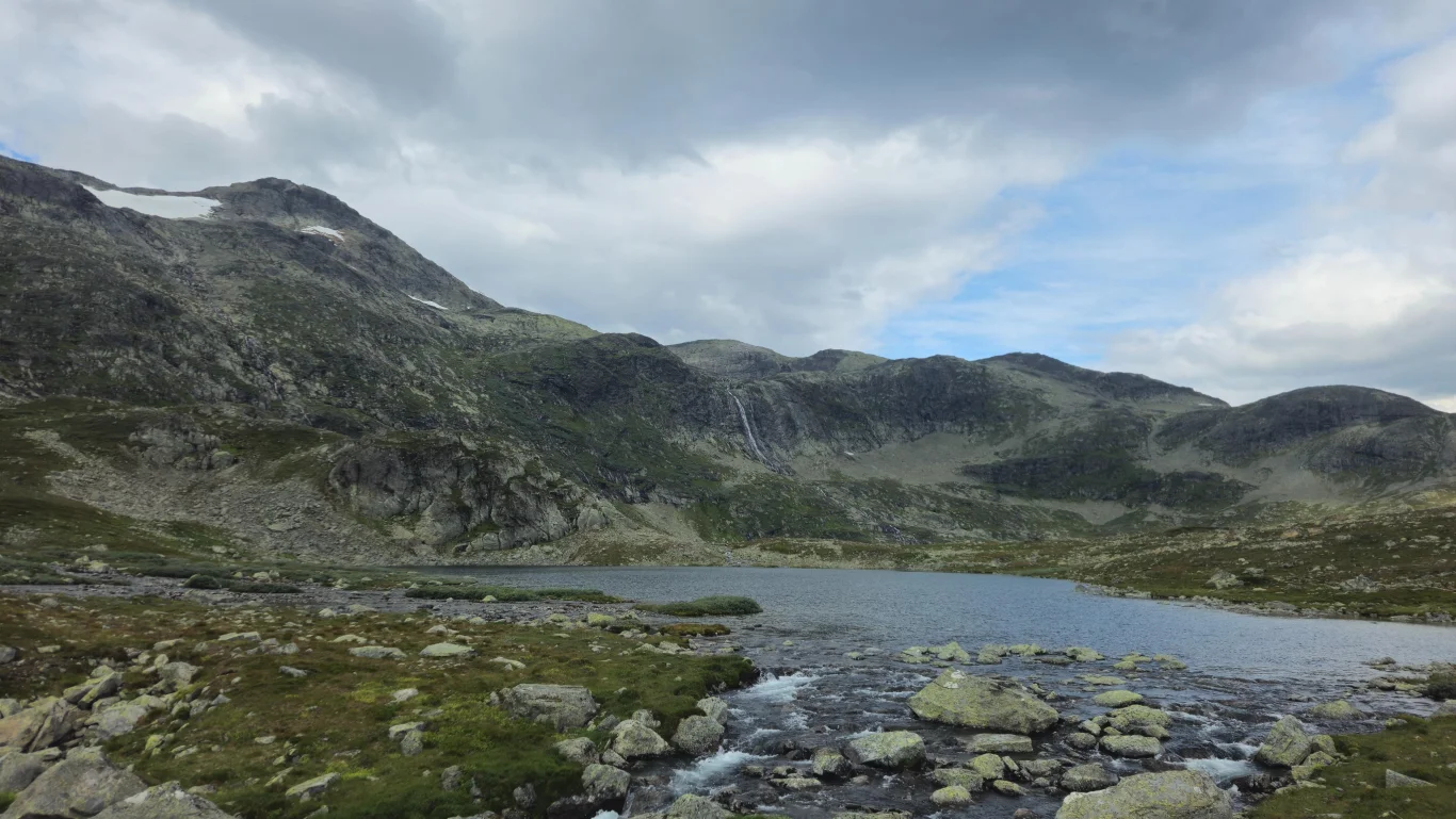
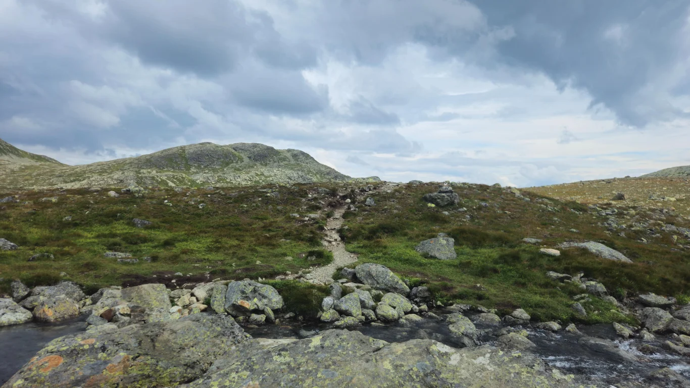
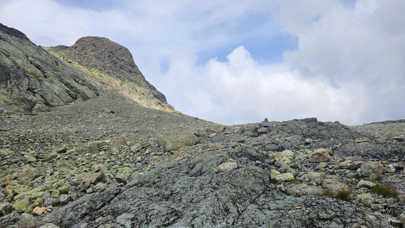
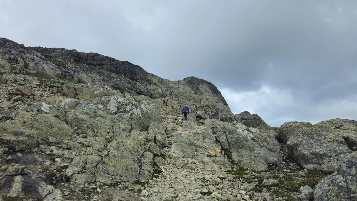
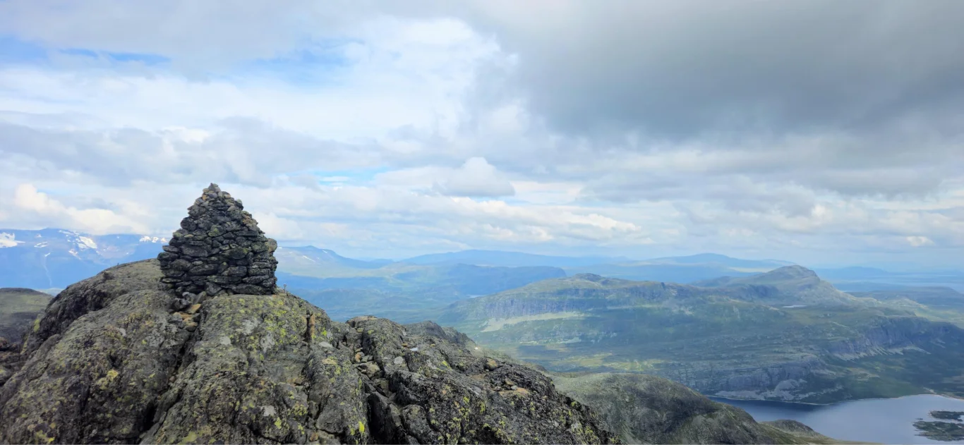
A mountain hike to Mugnetinden (1738 m) in Vang offers magnificent views of Jotunheimen and Valdres.
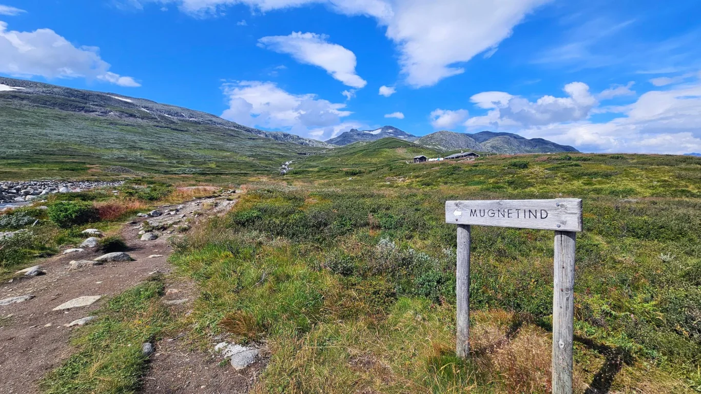
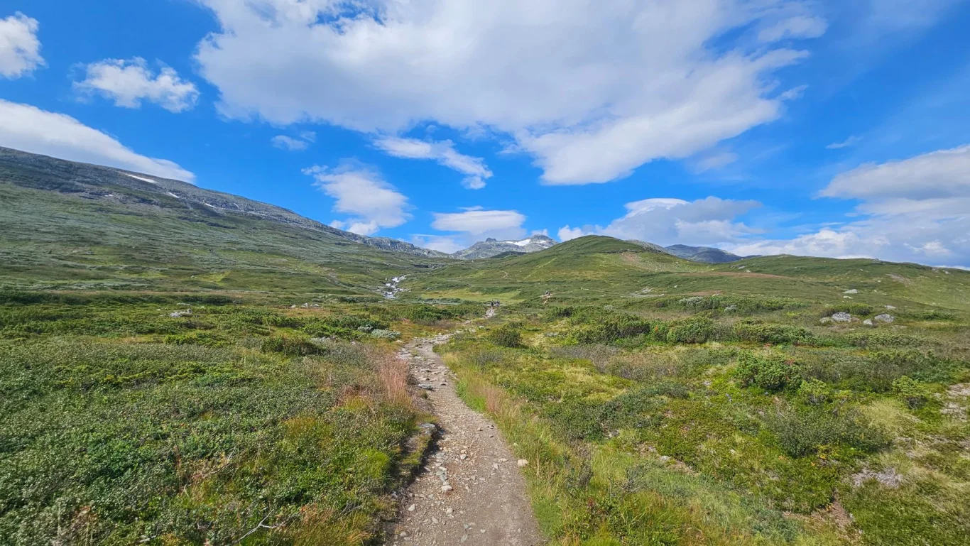
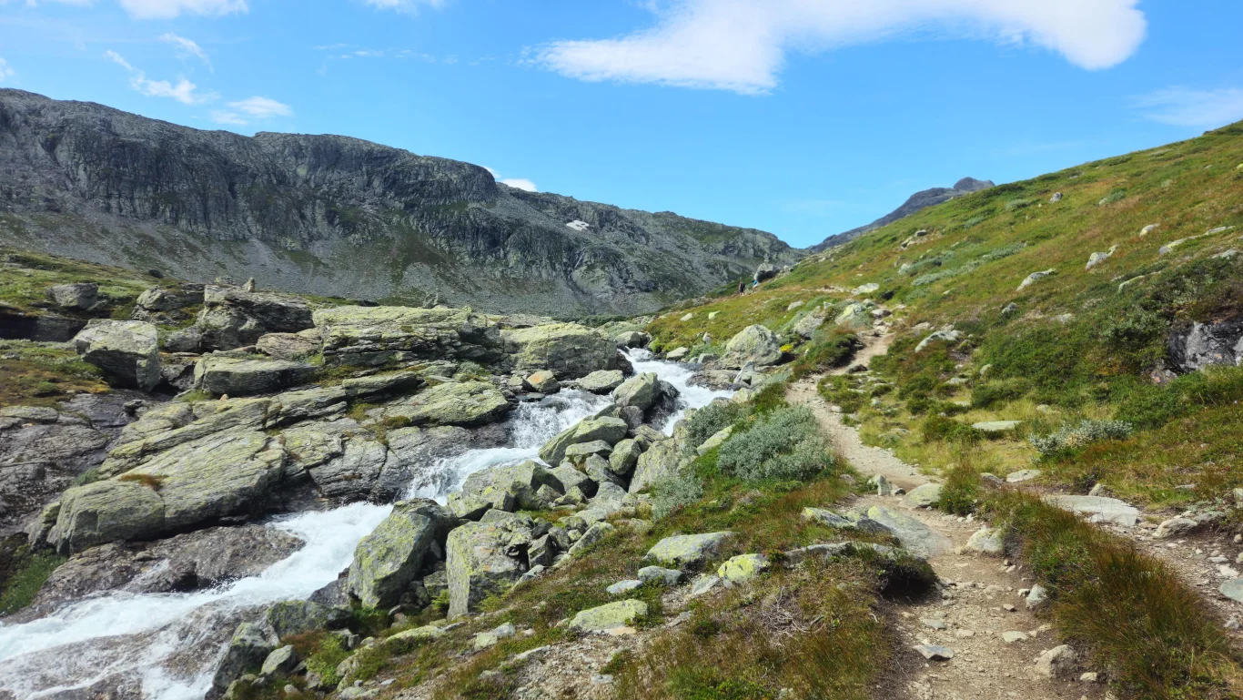
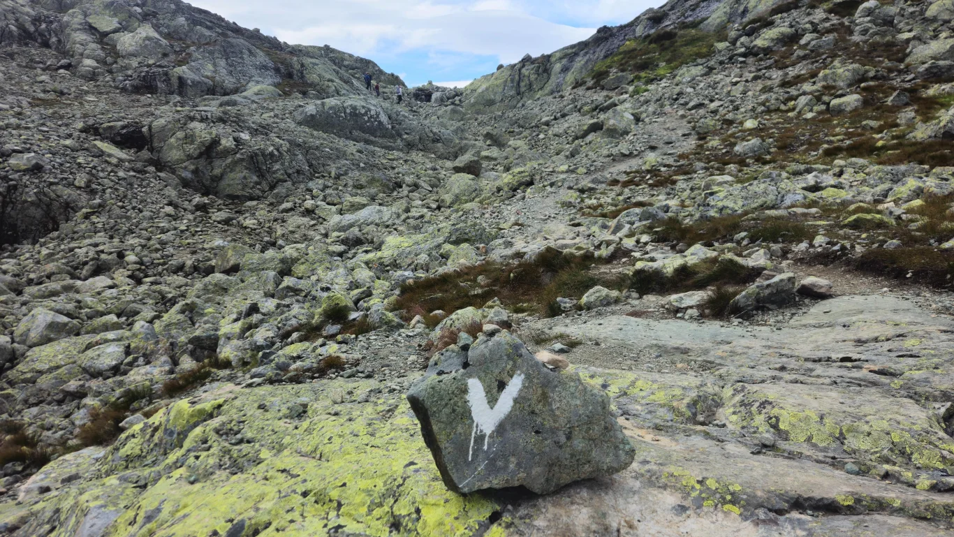
The hike starts from Slettefjellvegen and follows a clear path in varied terrain. A moderately demanding hike that is suitable for experienced hikers. Perfect for those who want a lot of views for their effort!
Information
Length: Approximately 10.7 km round trip
Time: Approximately 5 hours round trip
Elevation gain: 720 meters
Season: June to October
Time: Approximately 5 hours round trip
Elevation gain: 720 meters
Season: June to October
Grading: Demanding
Accommodation nearby
Hiking nearby
Hot
Distance
8.77 Km
Distance
16.24 Km