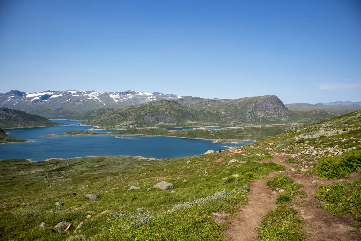
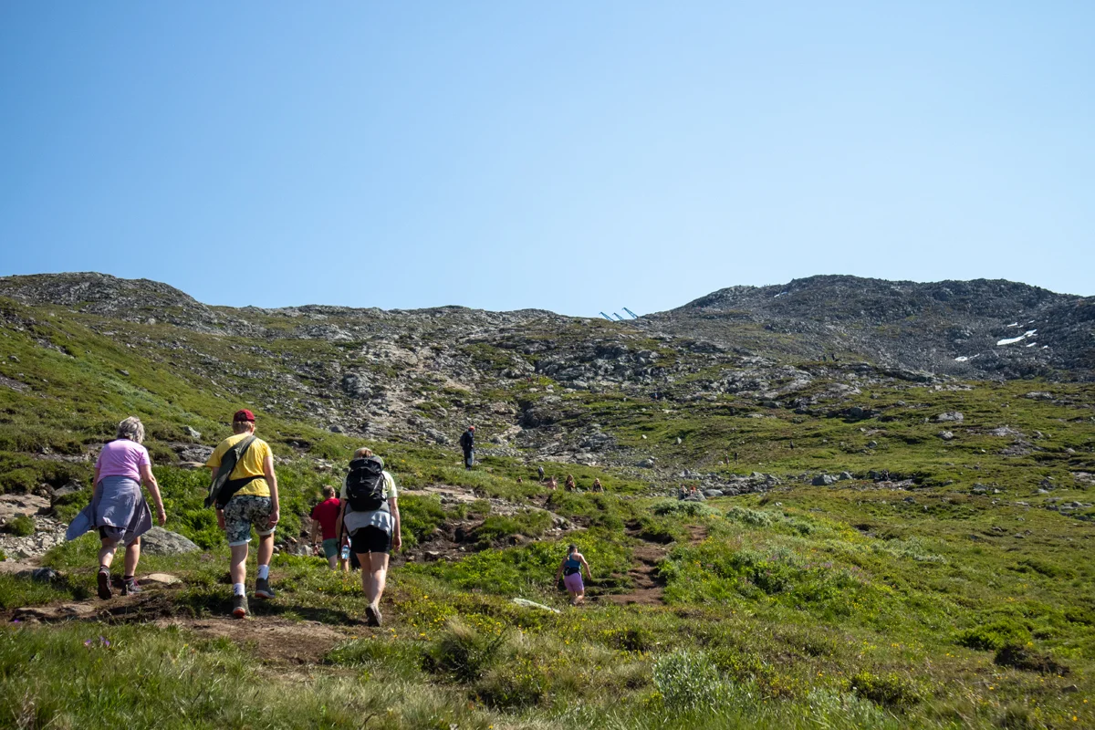
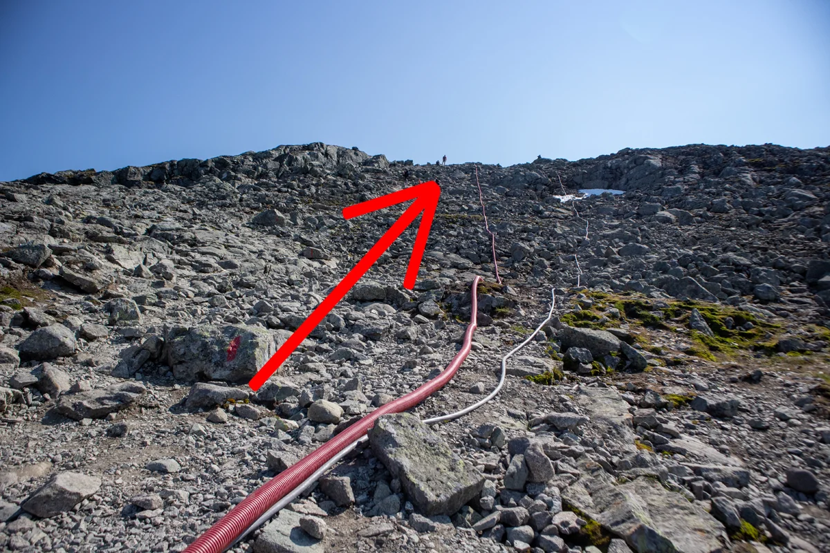
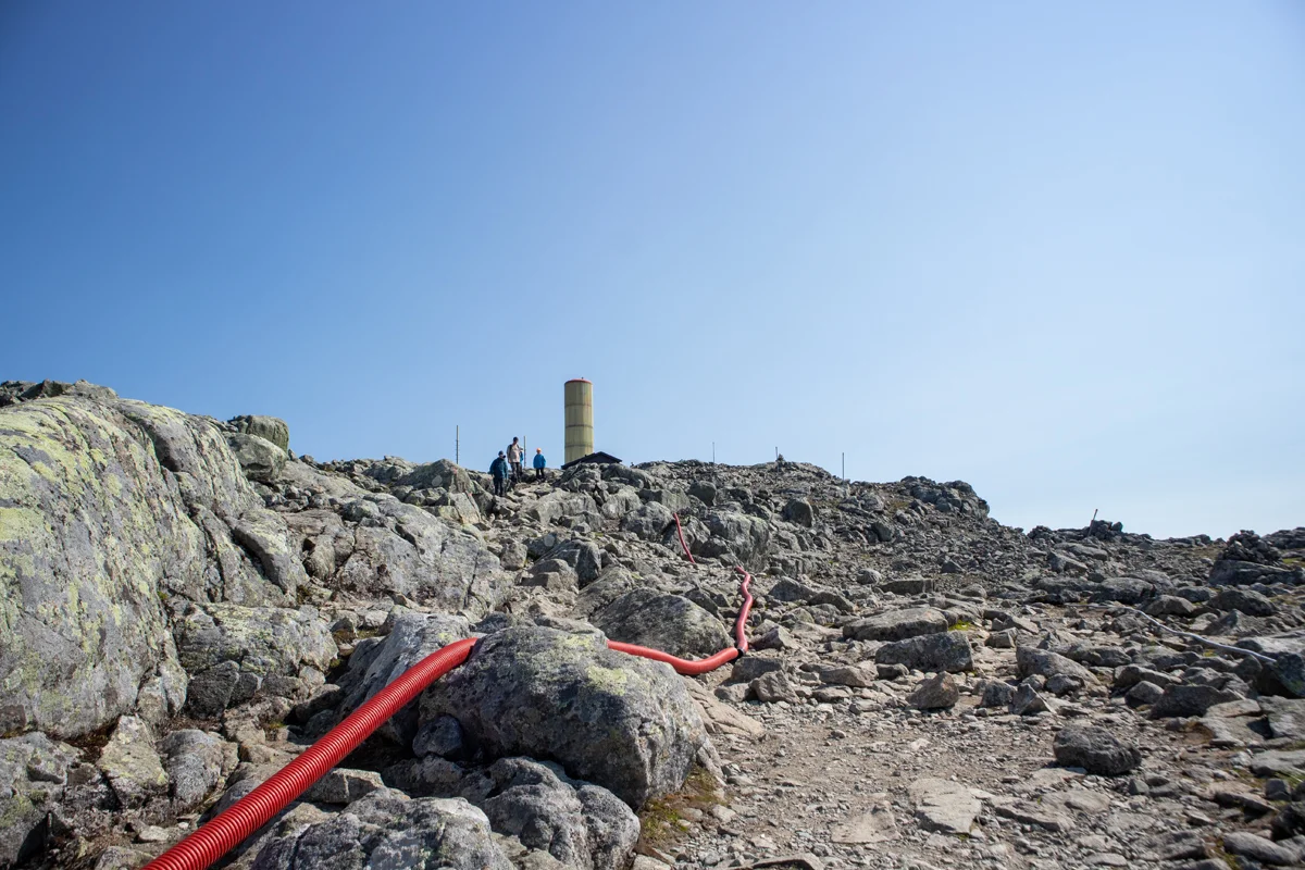
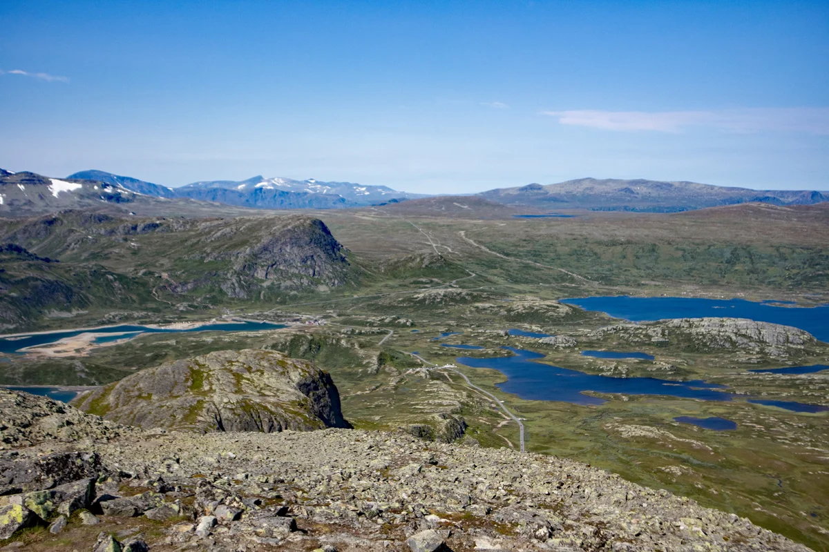
Bitihorn (1607 m) from Bygdin on Valdresflye
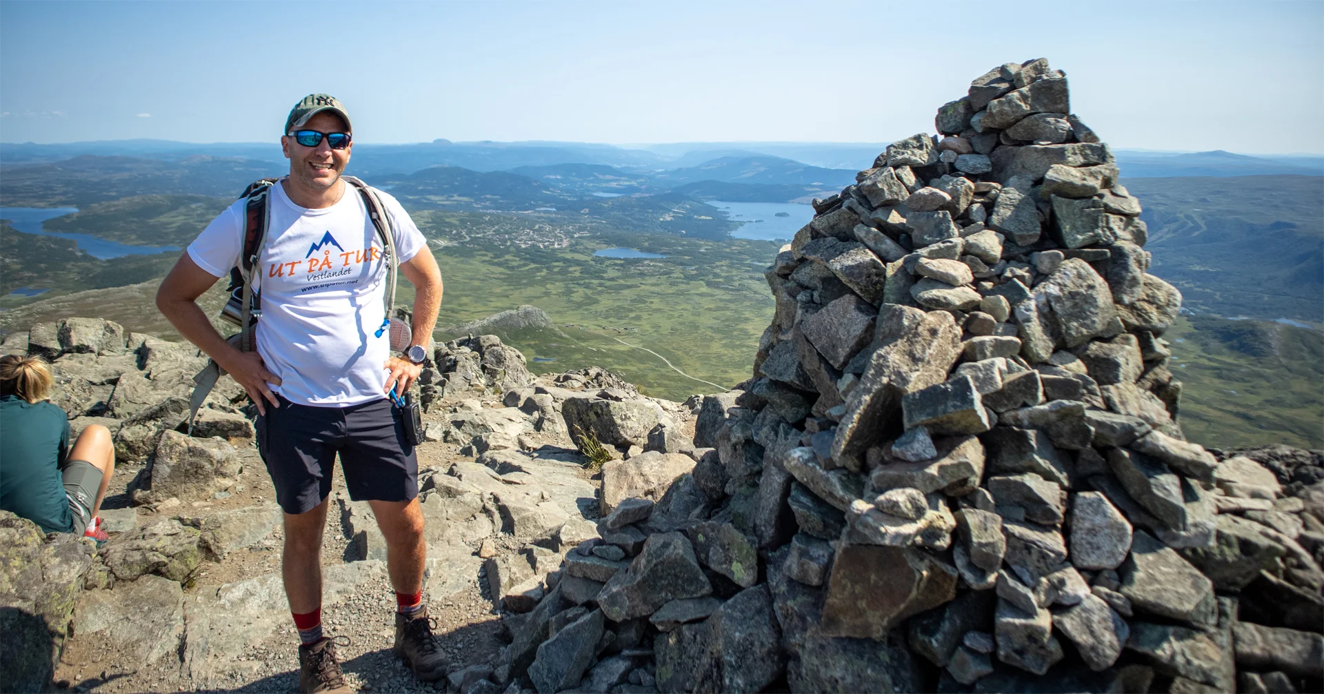
Photo: Admin

Processing elevation data.. .
You use GPX files that you download from our server 100% at your own risk.
Accommodation nearby


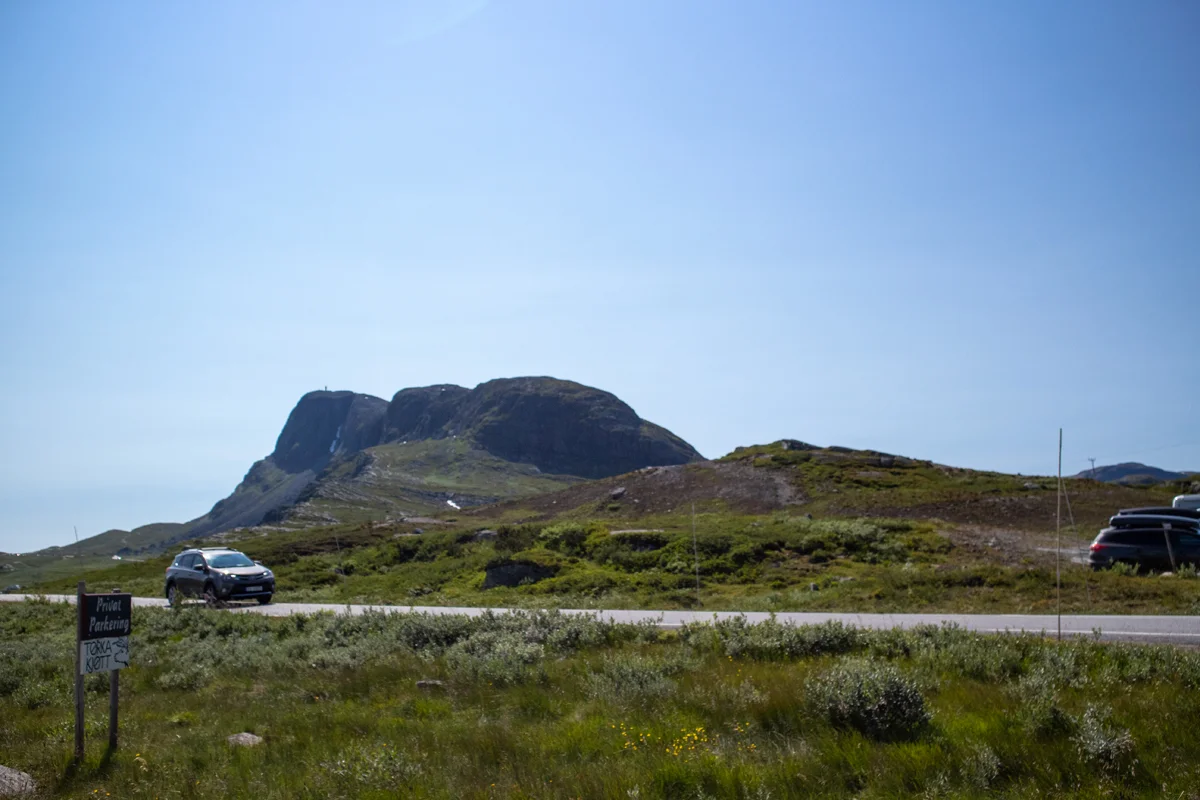
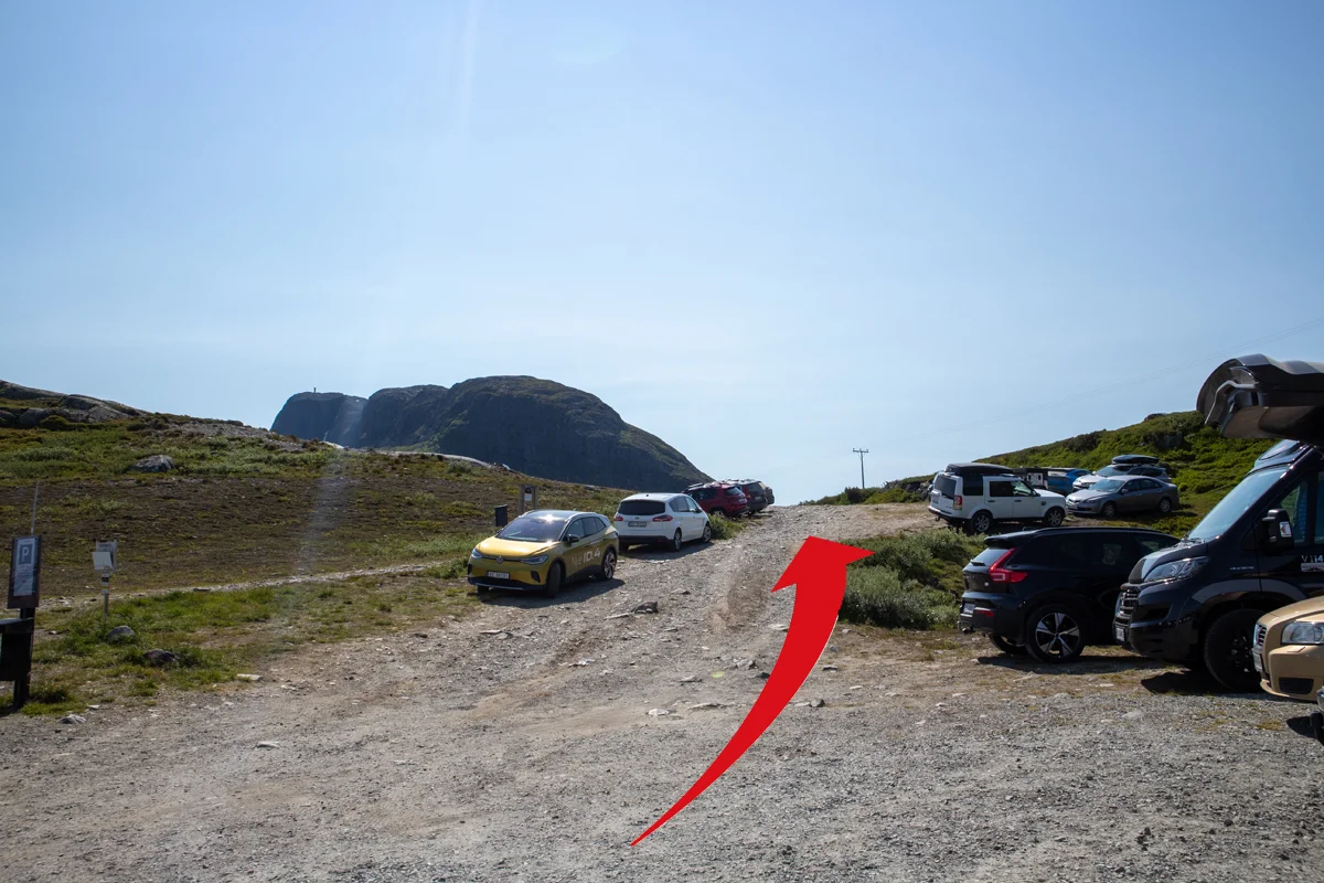
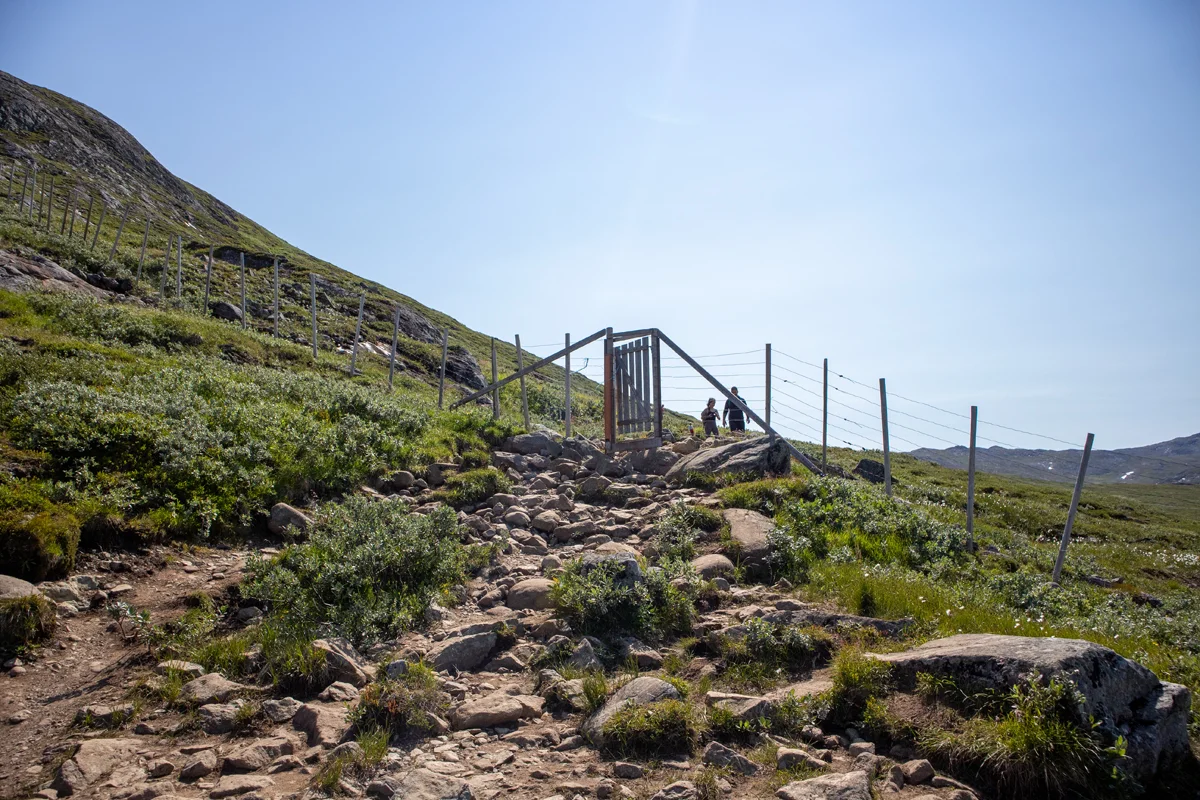
Hiking nearby

Hot
Distance
0.02 Km


Distance
12.4 Km


