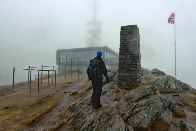
Turtips i Fjærland: 5 fjellturer på 5 dager

Fjærland er porten til Jostedalsbreen og en av Sognefjordens mest stemningsfulle fjordbygder.
Annonse


Plassen er omkranset av bratte fjellsider som reiser seg til over 1600 meter og byr på utsiktstopper med panoramautsikt ned mot Fjærlandsfjorden. Bygda er kjent som Den norske Bokbyen, med sjarmerende bruktbokbutikker i historiske hus langs fjorden. Reisetid: Fra Bergen tar det normalt 4–5 timer med bil eller buss.
I denne reiseartikkelen har vi plukket ut fem lokale fjellturer fordelt på fem dager – varierte, luftige og med utsikt som tar pusten fra deg. Turene egner seg best i sesongen fra sommer til høst.
Mellom de bratte dagene er det godt med en hviledag ved fjorden for å samle krefter – og vi kan varmt anbefale Fjærland Fjordstove som base for oppholdet ditt.
Fakta om turene
- Format: 5 x dagsturer i fjellene rundt Fjærland
- Turlengde: 10–15 km
- Vanskelighetsgrader: Middels - ekstra krevende
- Sesong: Sommer og tidlig høst
- For hvem: Erfarne fjellvandrere med god fysisk form
- Utsikt: Panoramablikk mot Fjærlandsfjorden og Jostedalsbreen
Opplevelser i Fjærland
- Overnatting på Fjærland Fjordstove
- Brævasshytta i Fjærland – servering med breutsikt
- Dampen – flytende sauna i Mundal
- Bøyabreen og Supphellebreen
- Den norske Bokbyen – bruktbøker i fjordbygda
- Norsk Bremuseum
- Kajakkpadling på Fjærlandsfjorden
Turtips dag for dag
Dag 1: Fjelltur til Flatbreen og Flatbrehytta (994 moh)
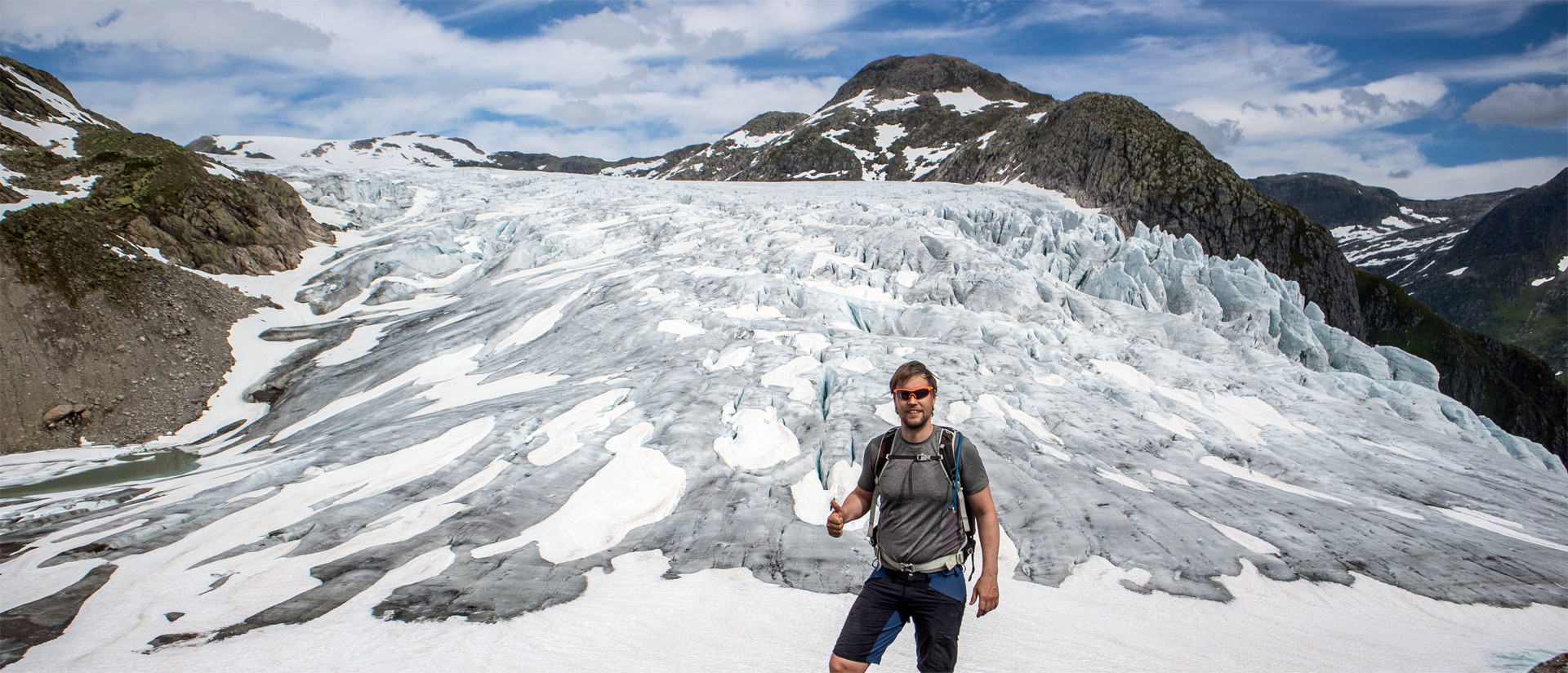
Foto: Chris Almeland
Fra parkering krysser du veien og følger skilt mot «Flatbrehytta». Skogsvei med jevn stigning går over i sti langs Tverrdøla (bro ved stor vannføring). For den råeste opplevelsen: ta høyre i stikryss, ned til elva (vanskelig kryssing ved stor vannføring), så opp dalen. Ved ca. 700 moh følg nordover, ev. avstikker til Vetla Supphellenipa. Videre mot Brefallet og ryggen langs brearmen til Flatbrehytta – spektakulær utsikt. Retur på «vanlig» sti.
Distanse: ca. 9 km (tur/retur) | Tid: ca. 4-6 timer | Gradering: Krevende
Dag 2: Middagshaugen (1030 moh)
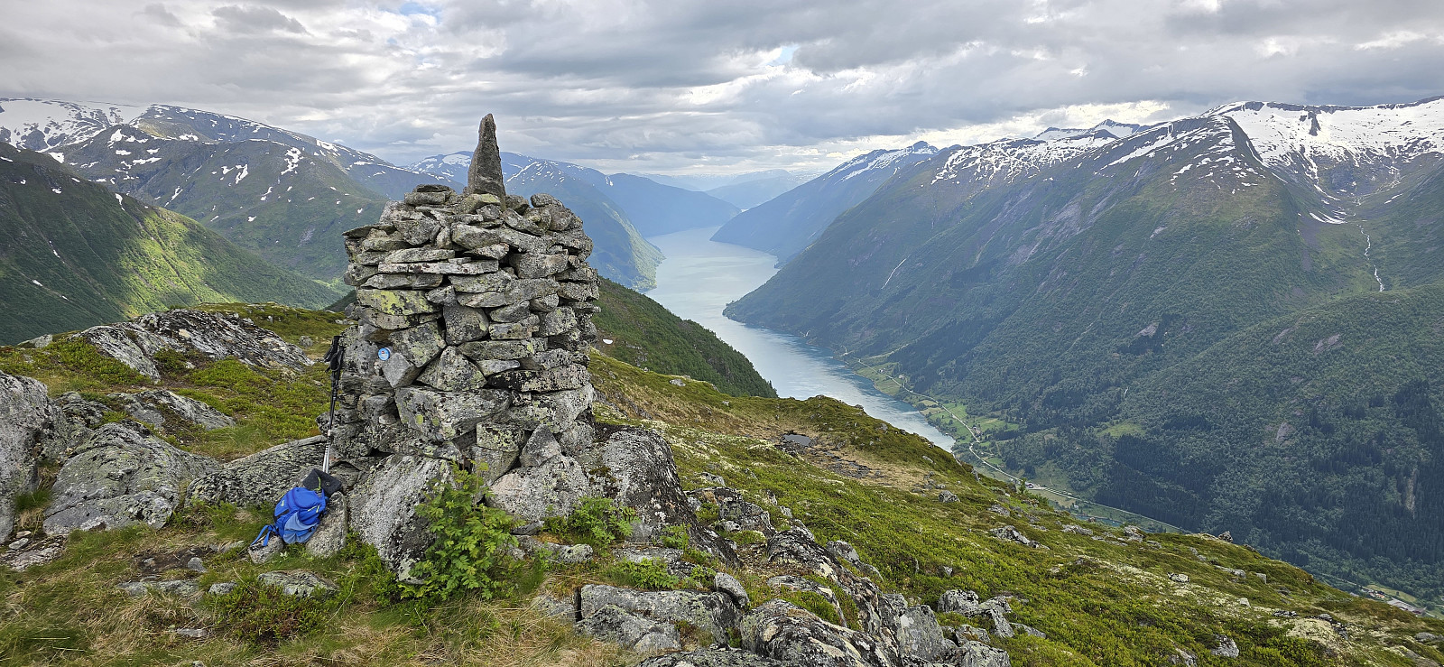
Foto: Johan Solberg
Fra Fjærland, kjør mot Horpedalen og parker like forbi siste gård. Kryss brua og følg sti til Endrestølen. Herfra er ruta mot Middagshaugen (1030 moh) utydelig og svært bratt/steinete. Underveis åpner utsikten mot Fjærland og brefjell; på toppen ser du mot Jostedalsbreen.
Distanse: ca. 6,6 km (tur/retur) | Tid: ca. 3-5 timer | Gradering: Middels
Dag 3: Fjelltur til Nesahaugen (665 moh)
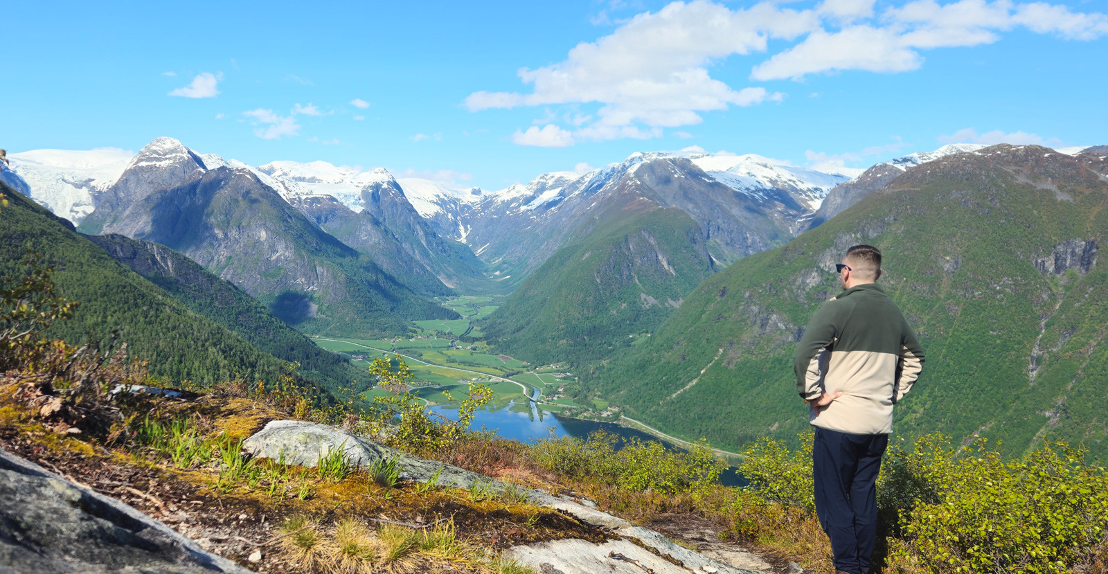
Foto: Chris Almeland
Toppen gir flott utsikt innover mot Fjærland, Jostedalsbreen og flere brearmer. Start fra Fjærland eller kjør til Homrane (parkeringslommer). Følg merket sti fra porten gjennom beite og opp skogen via Osloplass og Hamrastølen. Ved stikryss hold høyre; stien buer mot fjorden før den leder opp mot tregrensen. Gå forbi postkassa og videre opp på haugen bak – her ligger utsiktspunktet. Retur samme vei.
Distanse: ca. 5 km (tur/retur) | Tid: ca. 3 timer | Gradering: Middels
Dag 4: Lundeskaret til Tuva & Søgnesandsnipa (1548 moh)
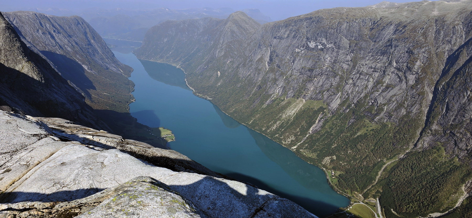
Foto: Johan Solberg
Krevende og spektakulær dagstur: Fra Lundebotn følger du den bratte, historiske stien opp Lundeskaret (tidvis sva—best i tørt vær) til kanten ved ca. 1000 moh. Videre over stein og rygg til Tuva (~1304 moh) og Søgnesandsnipa (1548 moh) med mektig utsikt mot Kjøsnesfjorden, Marabreen og Jostedalsbreen. Det er oppe i dette området det planlegges «Glacier Gondol» fra Lundebotn til Tverrfjellet.
Distanse: ca. 10 km (tur/retur) | Tid: ca. 6–7 timer | Gradering: Ekstra krevende
Dag 5: Kort fjelltur til Besshovden (592 moh)
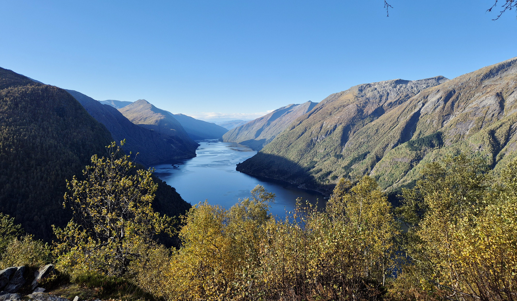
Foto: Reidun Kristiansen
Kort og fin utsiktstur over Fjærlandsfjorden. Fra Berge (ca. 200 moh) følger du traktorvei til en rød hytte; derfra er stien merket til Besshovden (592 moh). Jevn stigning gjennom lyng og bjørk, og på toppen ligger et flatt platå med vid utsikt utover Fjærlandsfjorden. Turen passer for de fleste; beregn ca. 2–3 timer tur/retur i rolig tempo
Distanse: ca. 4,5 km (tur/retur) | Tid: ca. 2-3 timer | Gradering: Middels
- Sjekk vær, snø og eventuelle breforhold; ta med vind-/regntett yttertøy og varme plagg – også midt på sommeren.
- Bruk solide fjellstøvler; flere ruter har steinur/rygger og jevn stigning.
- Last ned GPX og ha kart/kompass; dekningen kan være ujevn i sidedalene.
- Planlegg ankomst kvelden før første tur – kjøretiden fra Bergen/Oslo er lang.
Nøkkelord: Turtips i Fjærland, Fjellturer i Fjærland, Overnatting i Fjærland, opplevelser Fjærland.