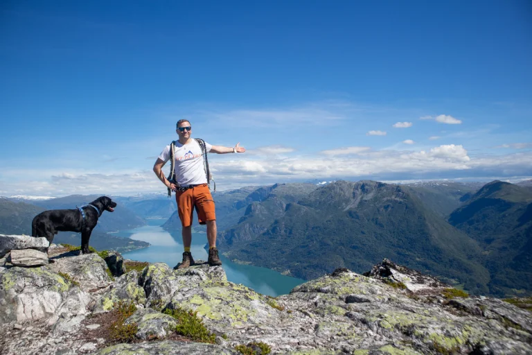
On tour Norway recommends: Top 5 hikes in Bjørnafjorden (Os and Fusa)

Explore mountain hikes in Os and Fusa – two sides of Bjørnafjorden with coastal heaths, steep ridges, and wide fjord views.
Advertisement


Her er fem krevende og flotte fotturer i Bjørnafjorden som tar deg til utsiktstopper og ville nes.
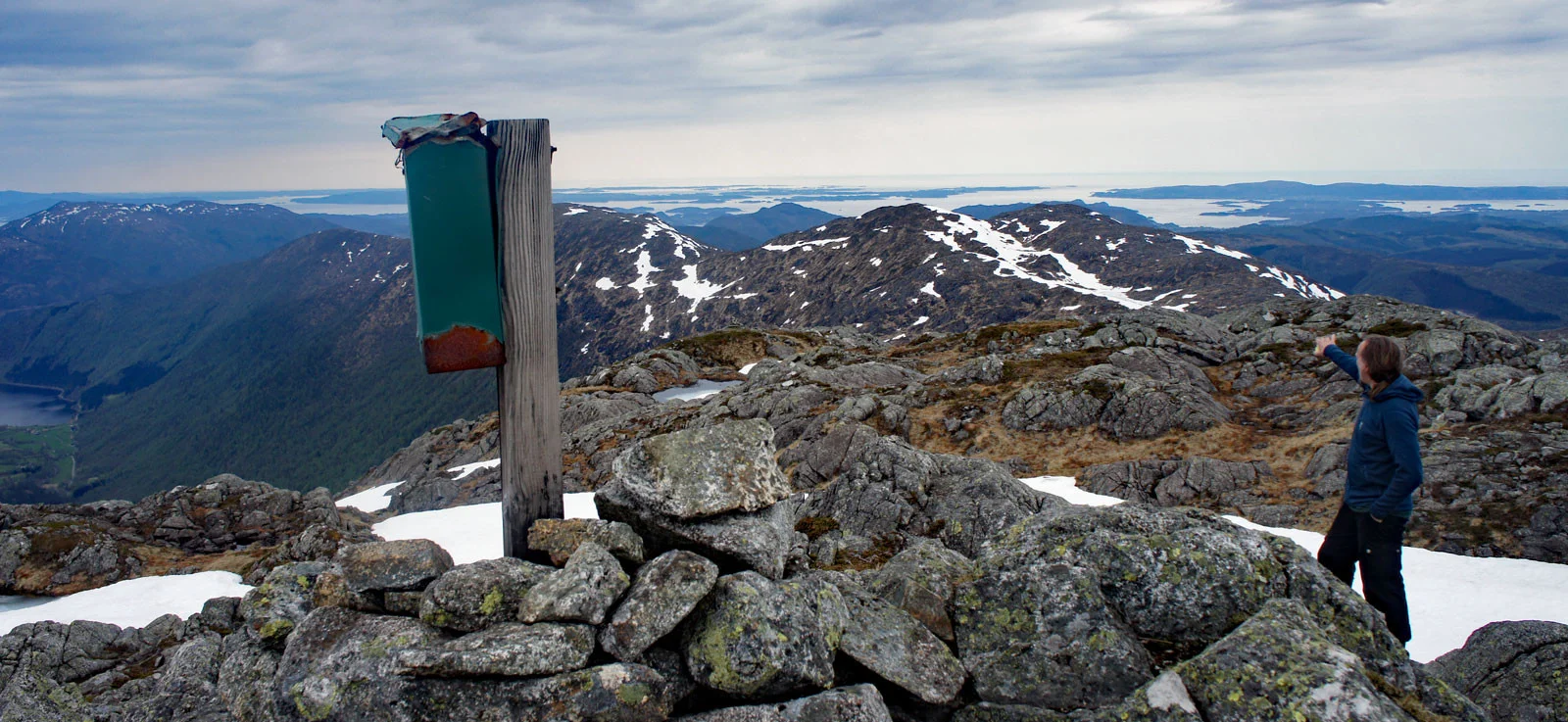
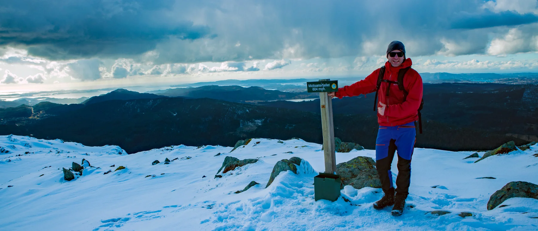
From Svinningen (842 m above sea level) over Osvidden

Start in Øvredalen. Follow the tractor road for a while and turn left at the sign 'Svinningen'. After the forest section, there is a steep, clearly marked ascent to Svinningen. Continue south over Søtafjellet, Sauskolten, and Rindafjellet before descending to Midtsæterfjellet. Varied ridge terrain with some steep sections and great views all the way. It’s advisable to leave a car at Midtsæter and one at the start for efficient logistics.
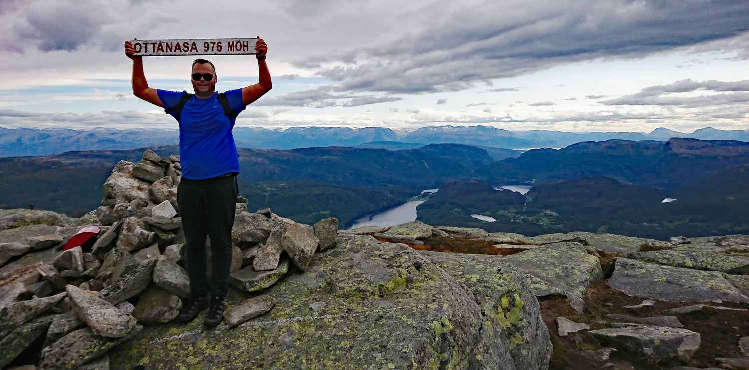
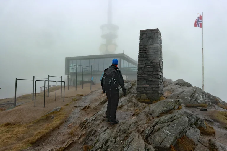
Ottanosa (976 m above sea level) – round trip via Kjerringafjell

The trip starts at Bygdastølen ski and hiking center. Cross the lit trail and follow the red-marked path to Ottanosa. Continue in hilly, rocky high mountain terrain towards Kjerringafjell, with a steep descent after the summit. In the valley, you can follow the lit trail back or take a detour around Heilhillerhornet before returning to the main path and parking lot. Good markings all the way.
Hiking trip to Altaneset in Fusa
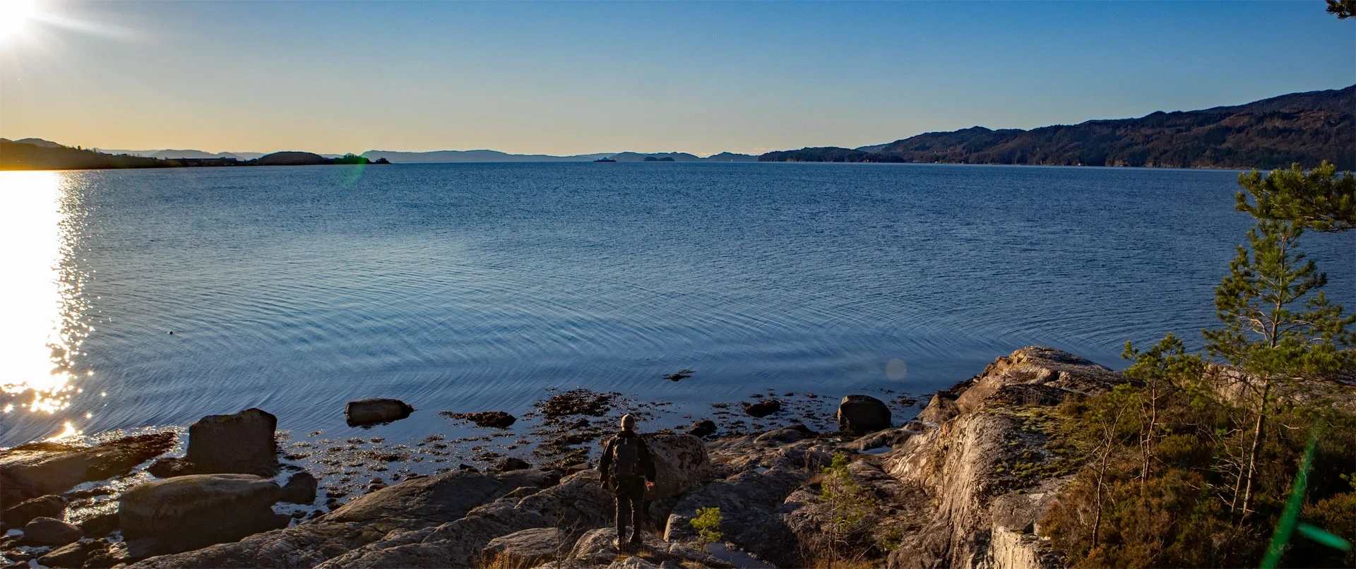
A distinctive 5 km long peninsula between Ådlandsfjorden and Eikelandsfjorden. From the parking lot, follow animal tracks and sporadic markers to Dormannsnipen for the first view, then past a small hunting lodge and out to the peninsula's outermost point. Return the same way, or arrange for a boat pick-up. Bring a packed lunch – the trip invites long breaks at the many viewpoints.
Nordra Såta (410 m above sea level) in Os
Little visited viewpoint. From the parking lot, follow the road towards the mountain, over a gate and river, and up towards 'Linken'. After about 1 km on a steep forest side, you reach a flat area around 375 m above sea level with a small stone cairn. Turn off here and follow the red-painted sticks across the bog northwards. At Gratbotnen, the path bends northeast along a cliff before the bog leads you under the summit. Go up the backside, follow the ridge south to the cairn and enjoy the panorama towards Søfteland and Os. Return the same way.
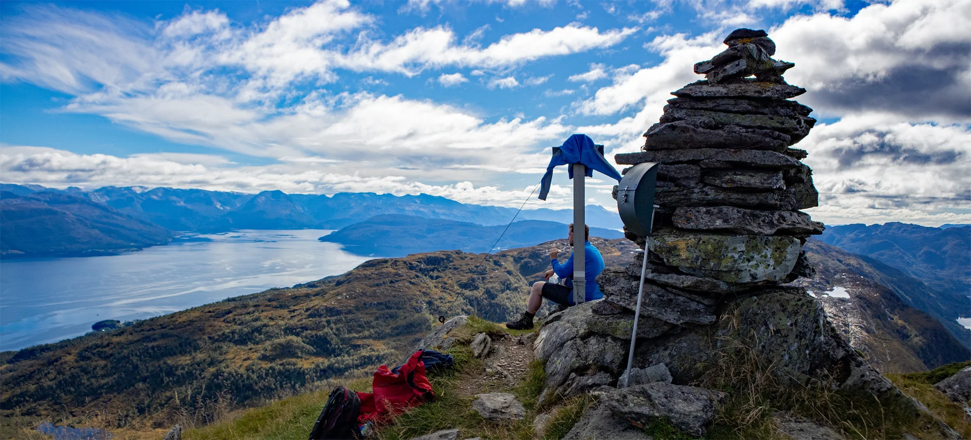
The Crow Nose (814 m) from Upper Hålandsdalen

From the hiking parking lot, follow the farm road past the last house and onto the forest road that takes you to the start of the trail. After an easy stretch along the river, you encounter the choice between a airy route over two ladders (steep and for those without a fear of heights) or a detour that extends the hike. Further on, the trail goes through Røydalen along Røyndalsvatnet and marshes before the T-marked route leads above the tree line. The last part is steep – follow the trail to the ridge and left towards the cairn for a magnificent fjord view.
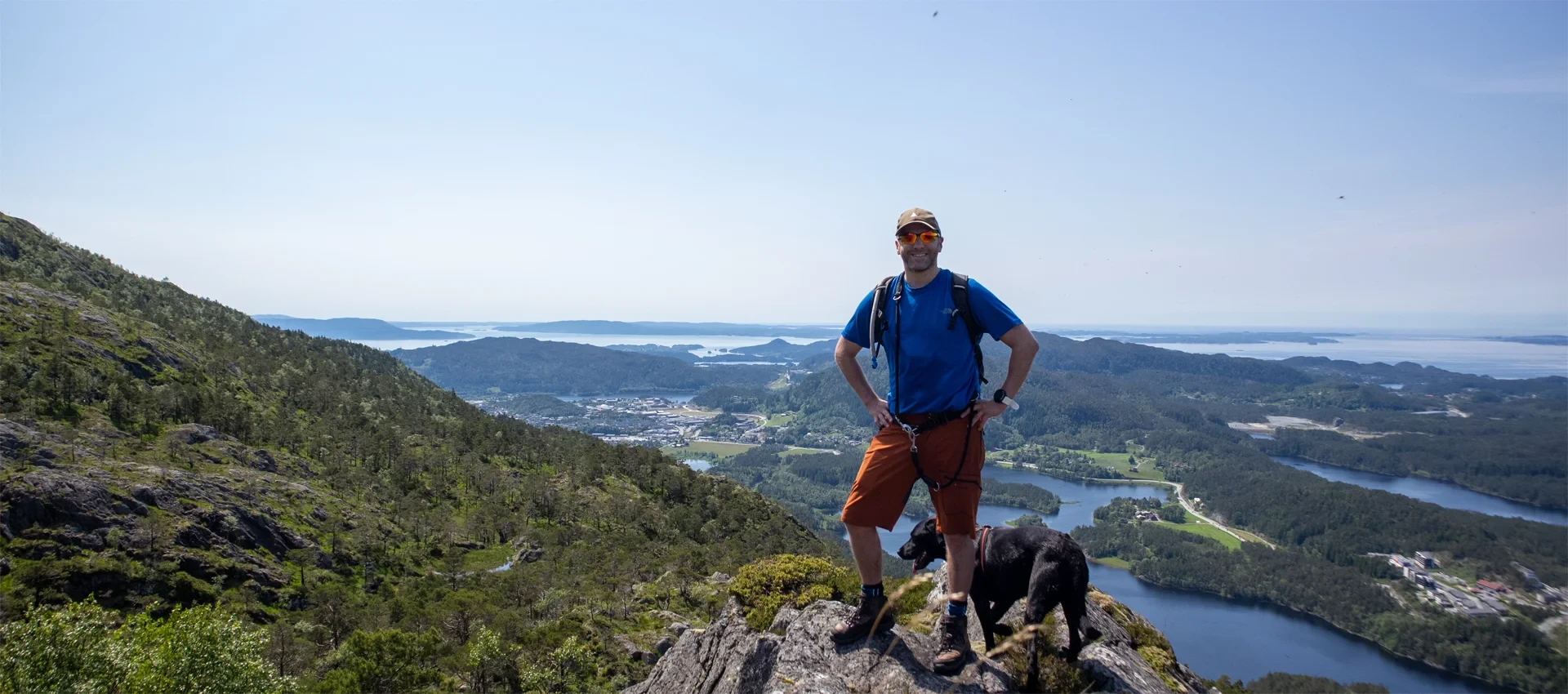
These five hikes cover the entire spectrum of mountain hikes in Os and mountain hikes in Fusa – perfect alternatives for those seeking challenging and memorable mountain hikes in Bjørnafjorden and varied hikes in Bjørnafjorden.