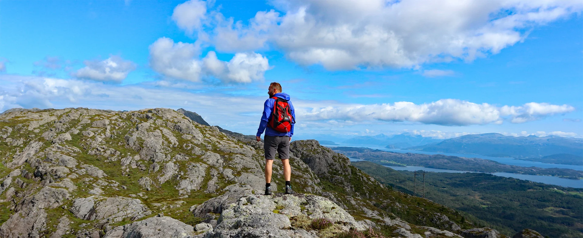
On a trip Norway recommends: Top 5 mountain hikes in Stord

Stord is an island in Sunnhordland where you can go hiking with unique fjord and sea views. Stordafjellet is a mountain range that stretches from south to north on the island. It starts just north of Litlabø with Bjørnahifjellet and Mennene. From here, a number of peaks follow, including Steingjeldhædda, Stovegolvet, Kattnakken, and the highest mountain on the island, Mehammarsåta.
Annonse


Here are five sure favorites for those of you planning mountain hikes in Stord.
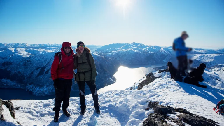
Mennene (501 m) – fjord view over Sunnhordland
Start on a forest road past an open space before taking a clear path and crossing the bridge. The route goes under the high-voltage line to the sign "Mennene 2.3 km", where the path begins Bjørnastegen - a steep rock pile with easy climbing (ropes laid out at the most demanding points). Above the kneika the terrain flattens out into a marked gorge landscape before the path, cairn with small stones, leads above the tree line.
Follow the cairns to the left to the top cairn. Here you get a panoramic view of Sunnhordland. Return the same way.
Read more about the trip to Mennene
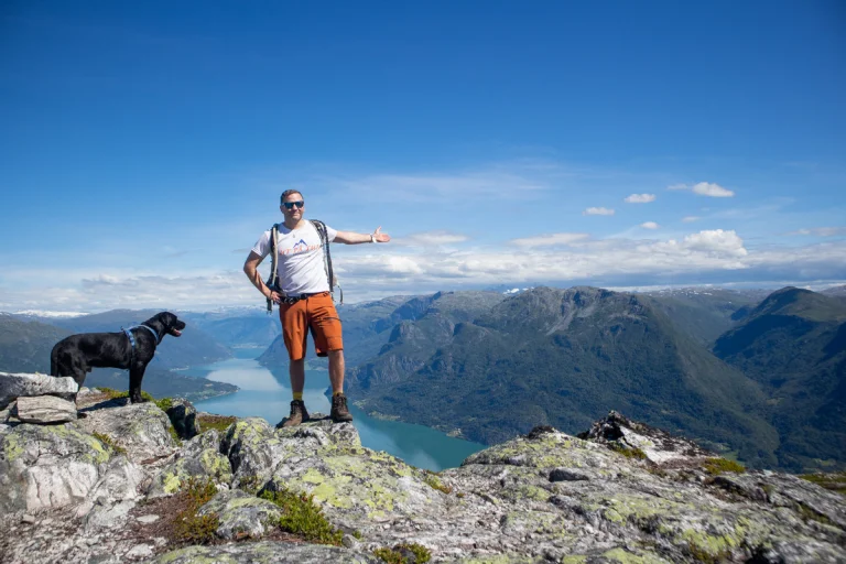
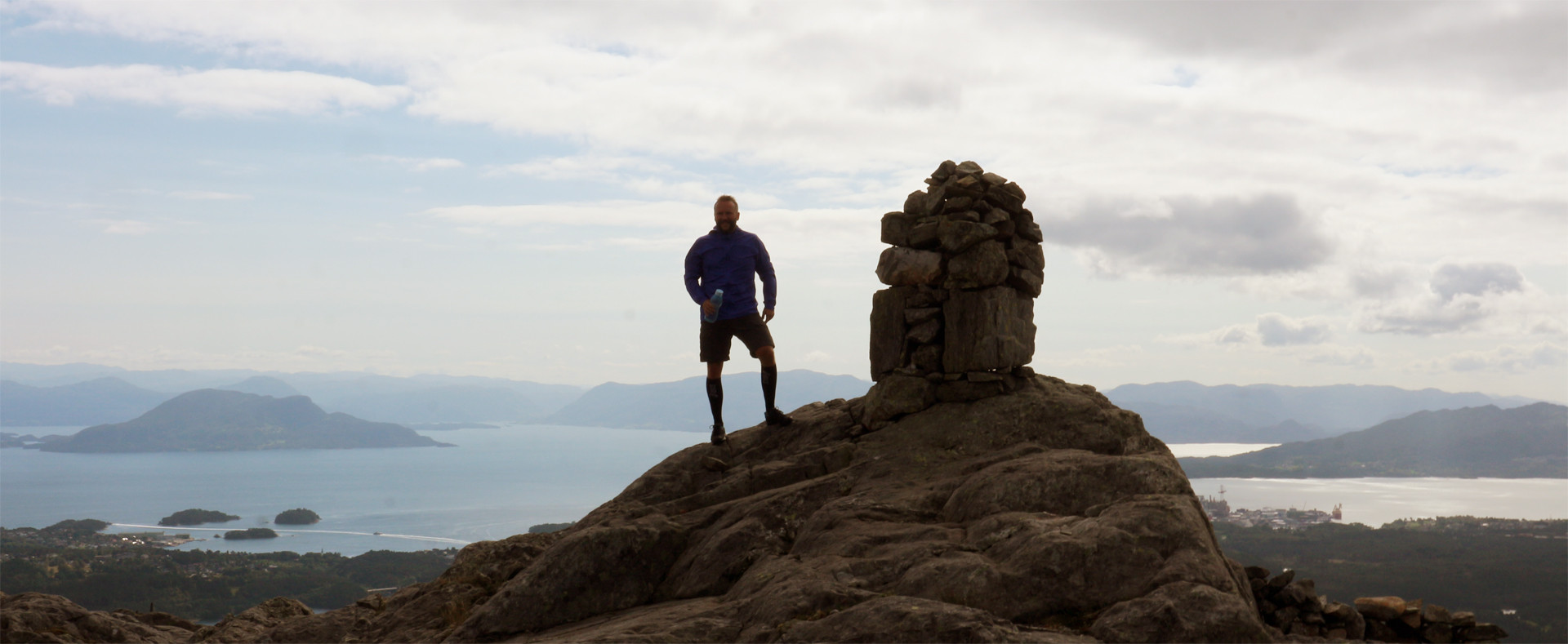
Mehammarsåta (749 m) – Stord's highest peak

From Heia, follow the Sherpa steps towards Kattnakken and go straight ahead at the crossroads on the plateau (not to the right towards Kattnakken). The path winds into Stordfjellet via Martetjørna, curving slightly to the southwest before pointing north towards Mehammarsåta. The surface is smooth and easy to walk on, and there are markings all the way. Pass along the left side of Stemmetjørna before the last gentle ridge towards the summit area.
The peak is located a bit further into the plateau – don't be fooled by the ridges. The cairn is modest, but the view is 360 degrees towards the fjord and mountains. Return the same way.
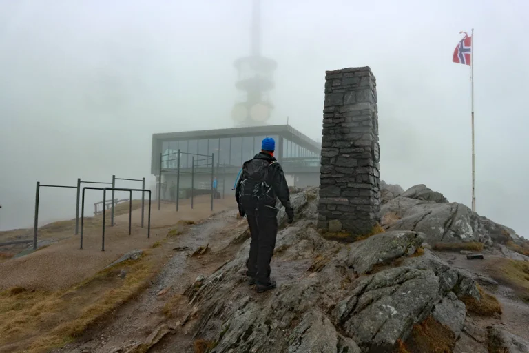
Panoramic hike over Stordfjellet to Stovegolvet (703 m above sea level)

Part 1: To Mennene. As described above: forest road to path, over the bridge and up Bjørnastegen. Further through open high mountain terrain to the summit cairn at Mennene.
Part 2: Continue towards Stovegolvet. Follow the cairn ridge terrain northwards. The ridge first drops approx. 100 metres in altitude before a steady climb brings you back up to around 500 metres. Keep right of Klovfjellet, pass a small unnamed water with a stone dam in front and continue along the left side of Ravatnet. The descent towards Kløv is steep and can be slippery – alternatively you can follow the path around Klovfjellet.
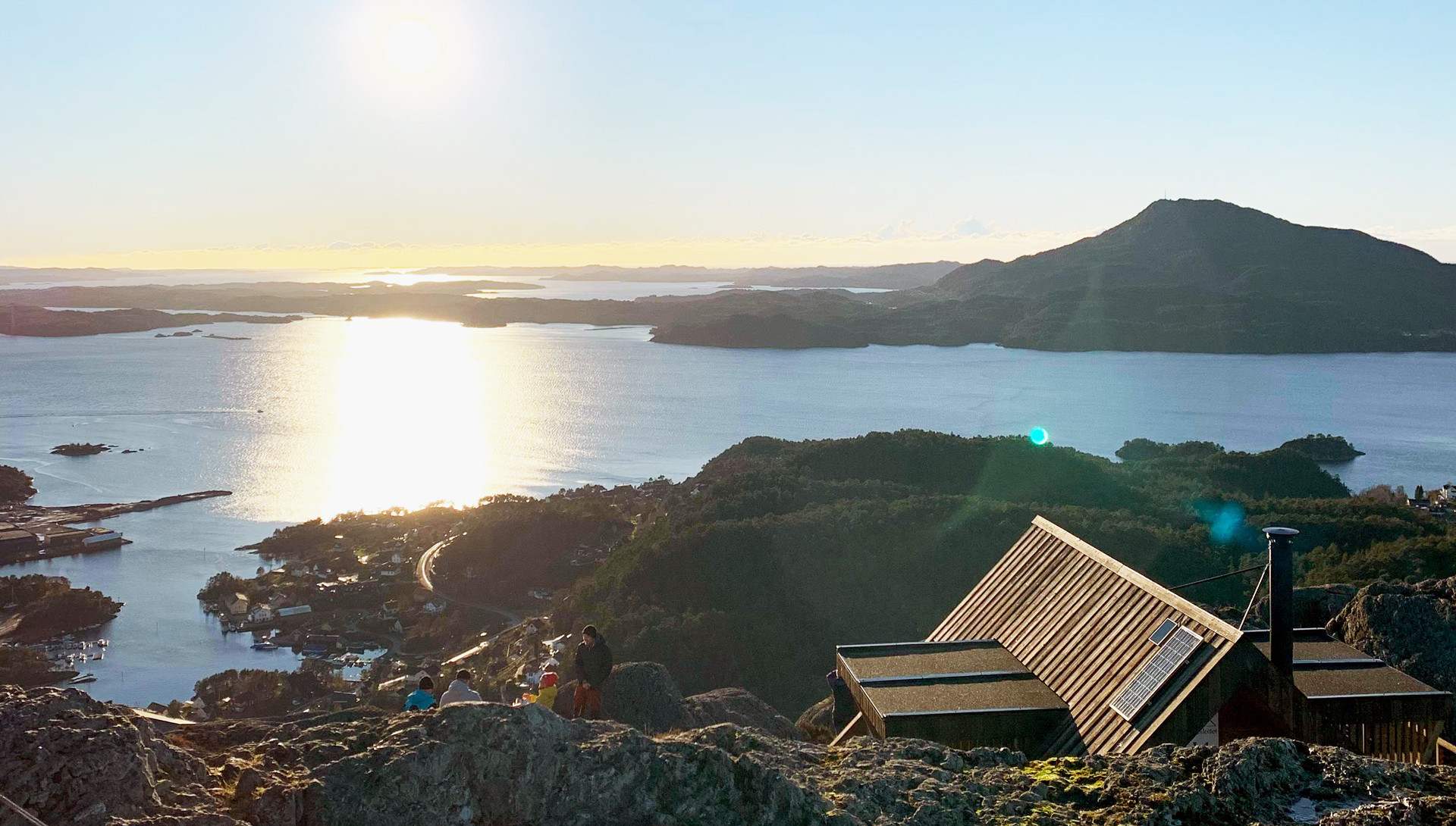
From the cabin at Ravatnet, follow the signs "Lundsseter", first along the water and up via the cabins. At the next intersection, "Lundsseter" again to Tysevatnet and the dam (hold on to the railing when the water is high). Then steeply up to Stovegolvet on the red-marked path; an indistinct left turn connects you to the main path. Some cleavage, but not exposed.
At the top, a grand view and the new DNT hut (2022) await. For a great round trip: continue towards Kattnakken and down to Heia via the Sherpa stairs. Total distance around 13 km.
Read more about the panoramic tour
Utslettefjellet (253 m) – short and airy local hike
From the parking lot, follow the signs for "Utslettefjellet 1.5 km". A good trail goes up Øykjedalen between Utslettefjellet and Altersfjellet. It rises steadily, and the trail occasionally runs alongside and in the stream before turning southeast towards the summit. Open terrain makes orientation easy, but be aware of short junctions that can be slippery after frost or rain.
At the top there is a sign, mailbox and a day trip cabin. Wide view towards Sunnhordland – you often see Siggjo at Bømlo. Return the same way.
Read more about Utslettefjellet
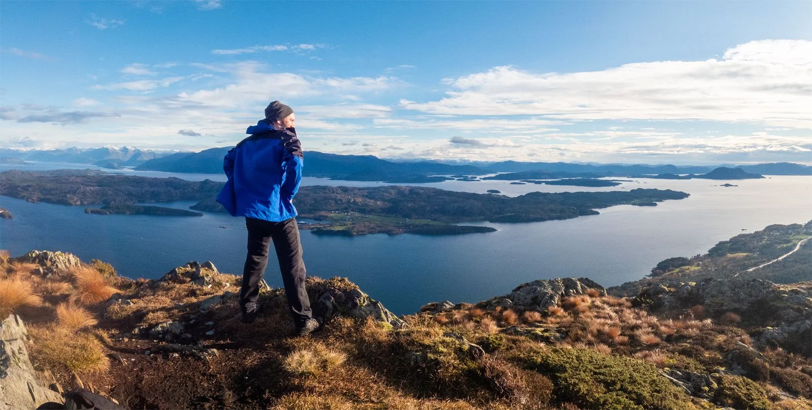
Agdesteinfjellet (472 m) – view towards Langenuen

The hike starts at Heia, a spacious parking lot for Stordfjellet. At the end of the parking lot, turn right at the sign "Steinen". Follow the road/path on the left side of the bog (walk on the drier side when it is wet), through slightly hilly terrain to the sign "Agdesteinfjellet". From there, the marked path goes over bogs and knolls with red-painted logs as guides. A new sign on the right leads the last 100 meters to the viewpoint.
From the top you have a panorama of Langenuen and, in clear weather, the Kvinnheradfjellene and Folgefonna. There is a mini cairn and mailbox here. On the way back, we recommend a short detour to "Steinen" - an impressive movable block with benches and a view of the fjord.
Read more about Agdesteinfjellet
These are five great choices for mountain hikes in Stord – from quick short hikes to longer ridges through the Stord Mountains. Choose your hike according to season and conditions.