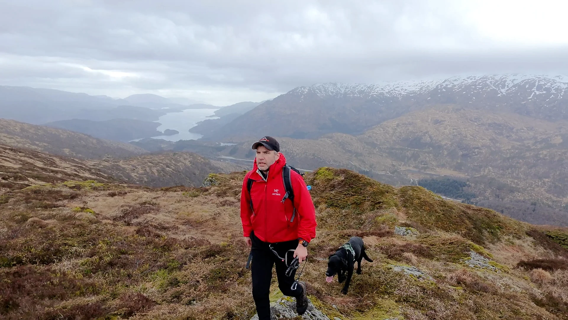
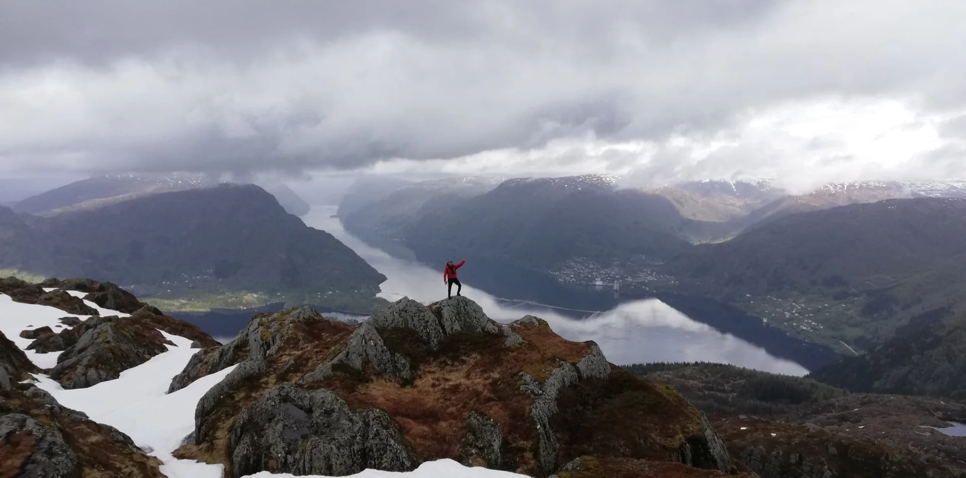
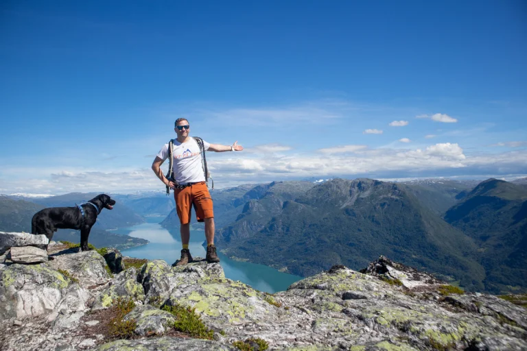
On tour Norway recommends: Top 5 mountain hikes in Samnanger

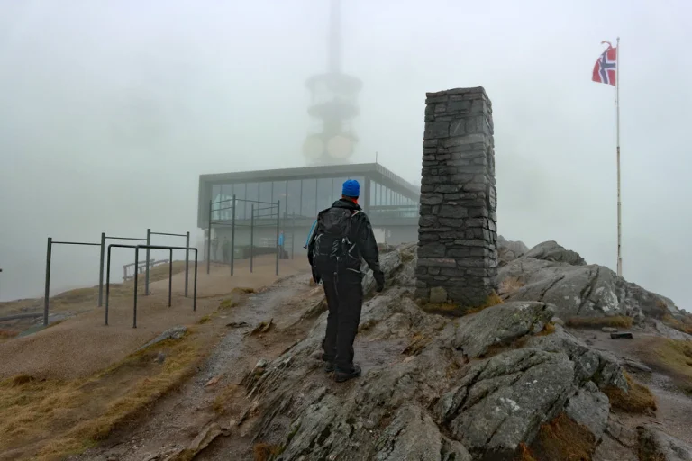
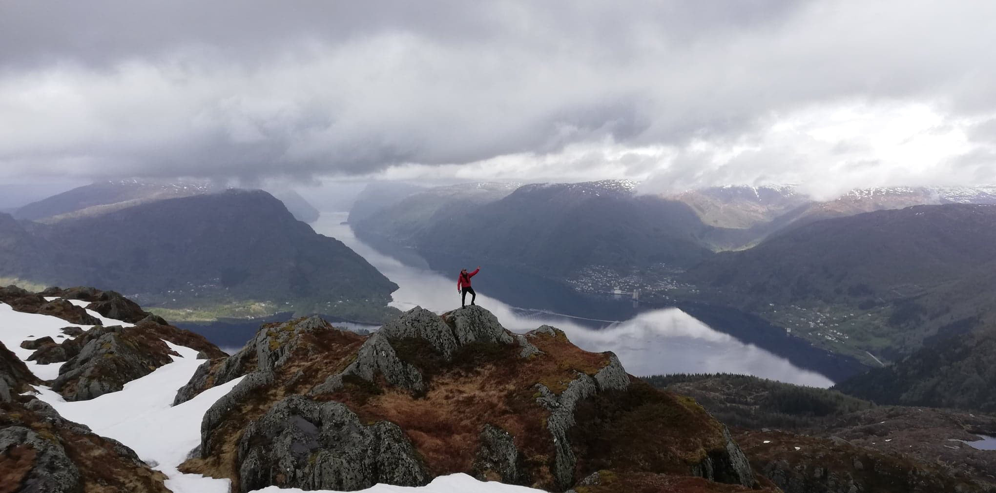
Samnanger is a small western municipality by the Samnangerfjord – surrounded by mountains and easily accessible hiking destinations. Here you will find suggestions for mountain hikes in Samnanger with great views. The highest mountain is Tveitakvitingen (1299 m).
Annonse


Jarlandsfjellet (1054 m) from Holmane
From the Holmane parking lot, follow the forest road over the bridge. Turn left at the first intersection and continue to the top of the hill (about 500 m). Here, a forest path starts on the right side – follow it to a hunting cabin around 800 m. The path is mostly clear, but in some places unclear; small cairns help you along.
From the cabin, you walk along vague tracks in a northwest direction up the mountain. The first peak is Kikenosa, with two cairns (the highest at 974 m and a great viewpoint at about 940 m). From here, continue about 1.5 km south onto the plateau of Jarlandsfjellet itself. The summit is unmarked; you often get the best view from Kikenosa. Return the same way.
Read more about the hike to Jarlandsfjellet
Burlifjellet (855 m) from Sævell
Cross the bridge with the barrier from the parking lot and follow the forest road south with the river on your left side. Go around the lake to the sign marked 'Burlifjellet'; here a road leads to the path. Cross the river, pass a cabin, and follow the red-marked path through the forest.
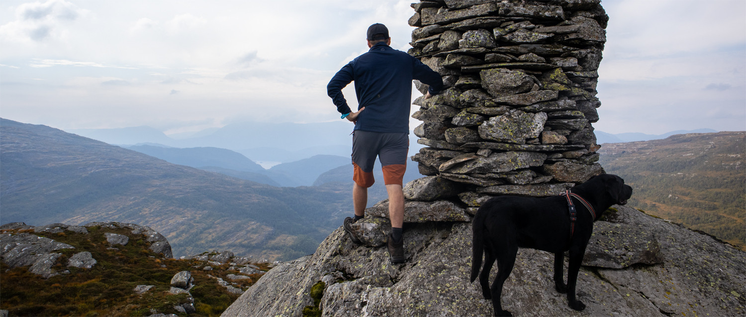
The ascent is steady until above the tree line, where the terrain flattens out and the view opens up. The path winds past lakes and streams before it turns steeply north towards the ridge and summit cairn. From Burlifjellet, there is a panorama over Samnangerfjorden, Gullfjellsplatået, Sauafjellet, and Svinningen – well-known formations seen from a new angle. Return the same way. The terrain is marshy in several places; high hiking boots are recommended.
Read more about the hike to Burlifjellet
Mountain hike to Krånipa (707 m) from Gullbotn

From the parking lot at Gullbotn, follow the path along the guardrail for about 150 m, and take the road down towards the cabins on the north side of Øyjordvatnet. Cross the bridge at the river mouth and walk through the cabin area to the path behind the water. The route follows a mountain wall for a while before you turn off at a stone cairn to the first plateau 'Skåpet'.
After a small downhill, a new ascent begins along the ridge towards Krånipa. The upper part goes through open heather and brake belt; the path is weak and follows deer tracks - keep a northeast direction. Towards the top, the terrain flattens out, and the cairn becomes visible. You can return the same way or take a nice round trip further over Raudnipa and Hananipa.
Read more about the trip to Krånipa
Raudnipa (711 m) in Samnanger
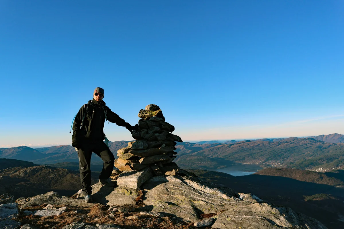
Raudnipa is an easily accessible ridge top with a wide view of Samnangerfjorden and the neighboring peaks on the Gullfjellsplatået. Many combine Raudnipa with Krånipa and Hananipa for a round trip on nice paths in open mountain terrain. Choose a route based on conditions - and take into account the weather and visibility on the ridge.
Read more about the trip to Raudnipa
Rabalhei (699 m) on Kvamskogen
Start at the parking lot just before the Teigaberg tunnel. Follow the road to Kvamseter Lodge, pass the hotel and enter the gravel road on the right side. In the left turn, there is a slightly unclear path - follow this.
The path runs along Eikedalsvatnet and then along Tordalselva to a bridge. Cross the river, go around the cabin on the right side, and continue without a clear path through marshes and forest. Above the tree line, the terrain becomes easier. Keep a northwest direction to a landmark, and then a few hundred meters to the cairn at Rabalhei. Return the same way.
Read more about the trip to Rabalhei
These are five good choices for you planning mountain trips in Samnanger - from steep viewpoints to gentle ridges and nice round trips.