
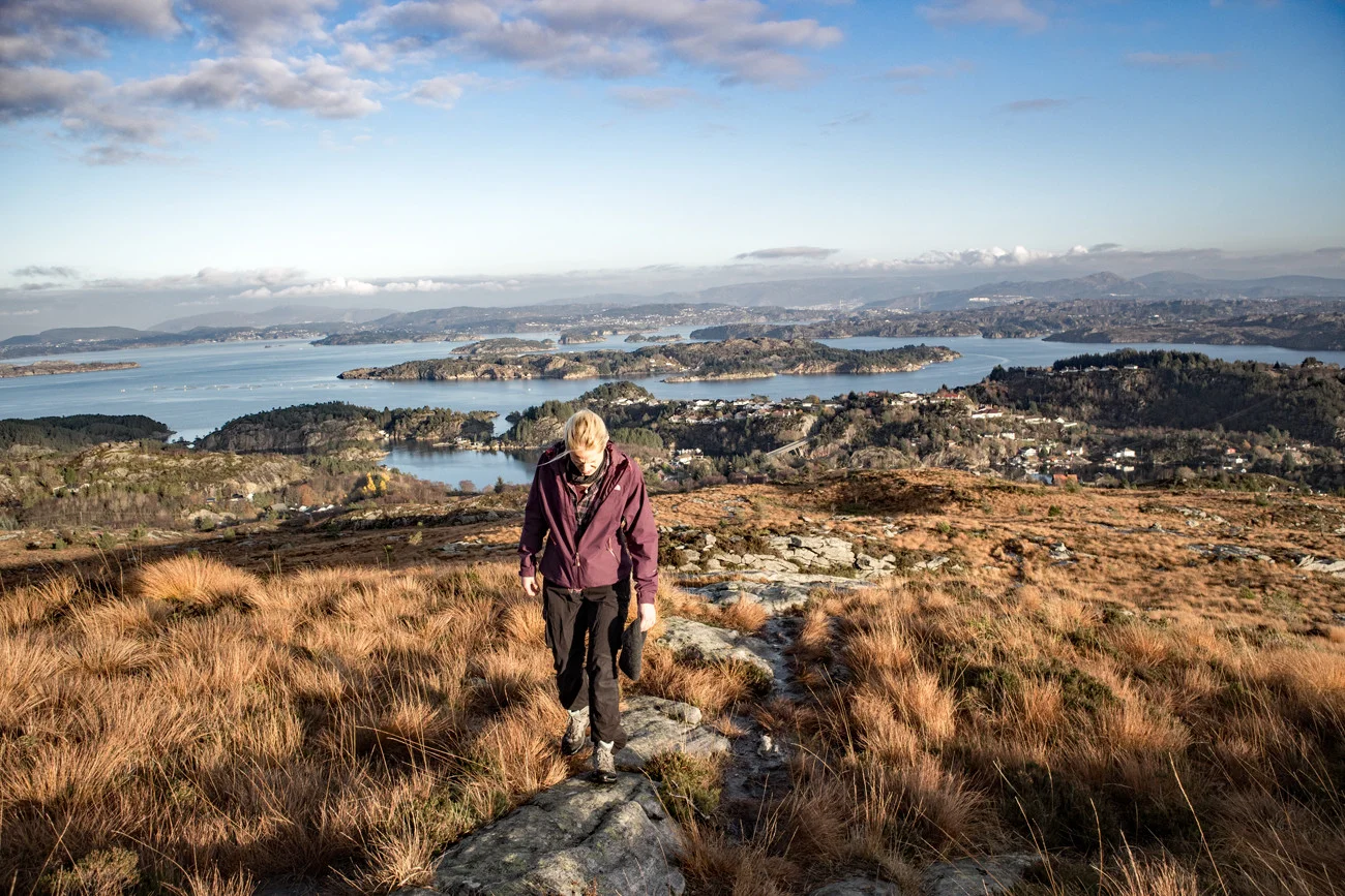
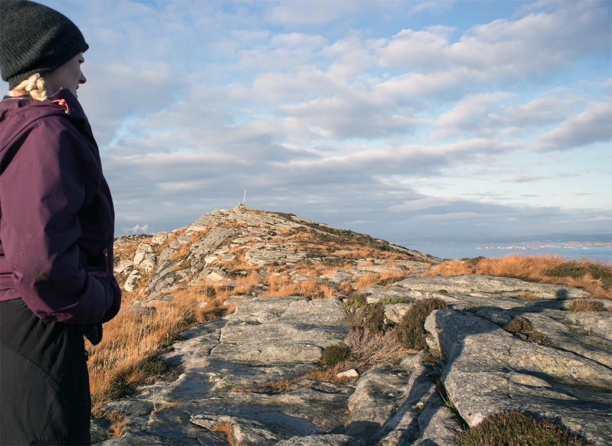
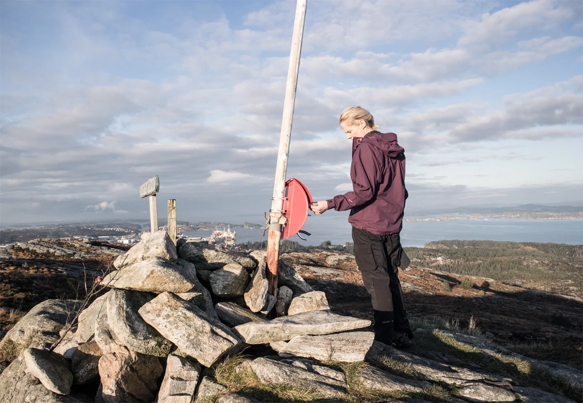
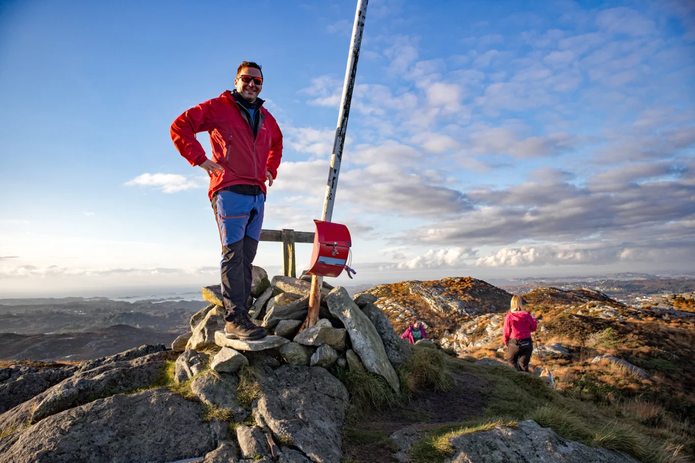
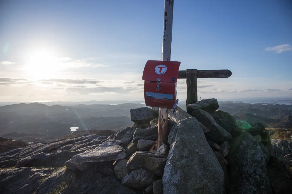
Spjeldsfjellet (166 m) on Sotra
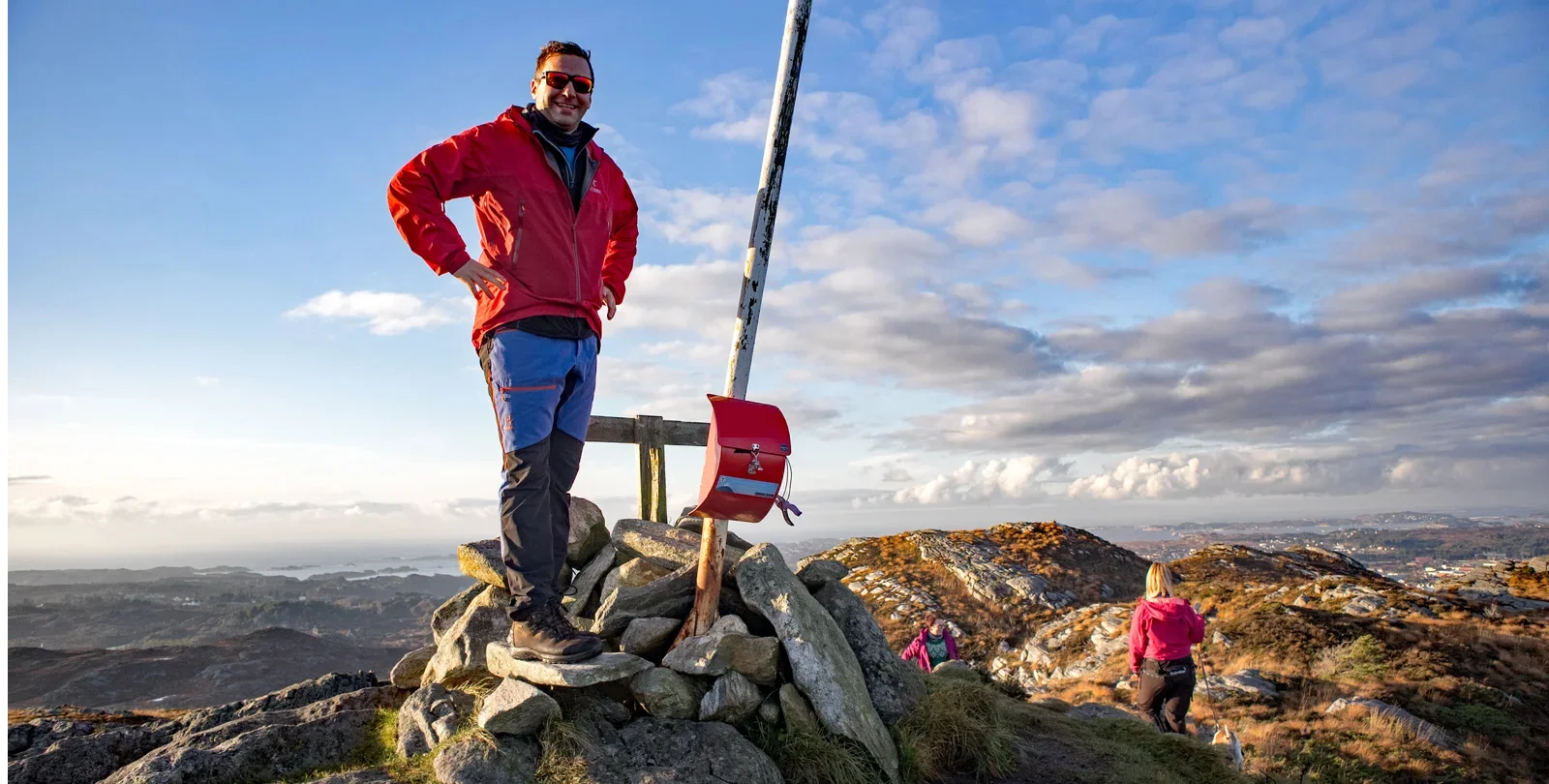
Spjeldsfjellet (166 moh) på Sotra
Photo: Admin

The GPX Track is for guidance only and may contain errors. Use at your own risk.
– always check maps, weather and conditions before your trip.

Access

From Bergen, drive over the Sotra bridge. Then drive through the Kolltveit tunnel and turn right at the roundabout towards Ågotnes. Drive past Knappskog and continue through the Spjeldtunnelen. When you have crossed the bridge, take the first left at the bottom of the hill, signposted 'Spjeldsvegen'. Park along this road.

Parking

Park along Spjeldsvegen just after the entrance from the main road towards Ågotnes.
The road inwards is narrow so we do not recommend parking here.

Description

Follow Spjeldsvegen (paved road) inwards for approx. 300 metres. Go up the steep hill to the right and then right into 'Øvre Spjeld'. Go straight ahead up the hill the road turns left.

You will see the path on the right (bad path at the beginning). Follow the path upwards. There is little vegetation and it is easy to find your way. The path towards the top is marked with small stone cairns. When you reach the first peak, follow the path north approx. 100 meters to the top cairn.

At the top is a small cairn, a book and a great sign. Enjoy the view over Sotra. I would say that the view at Spjeldsfjellet is somewhat better than at Knappskogfjellet.

Have a good trip!

Information

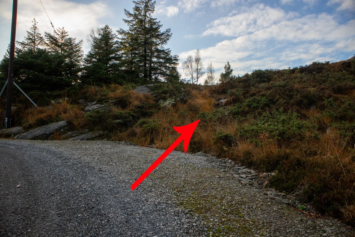
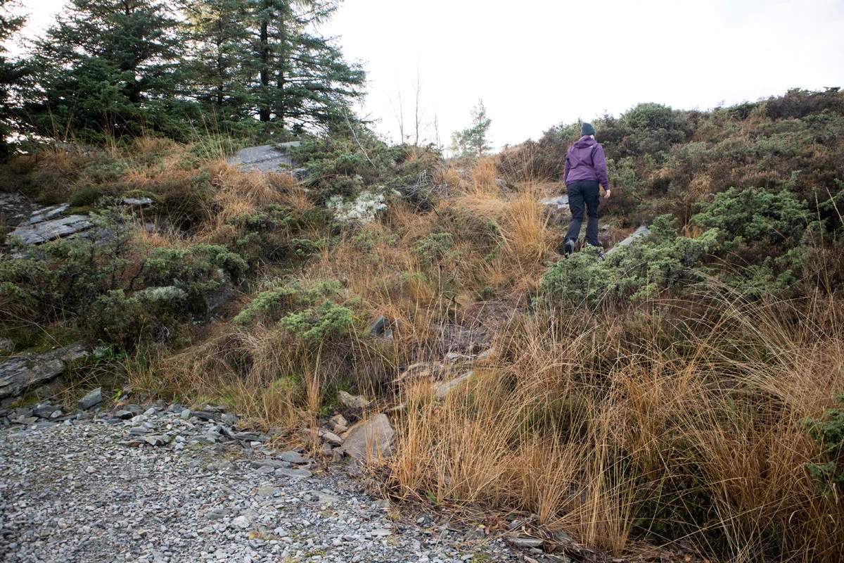
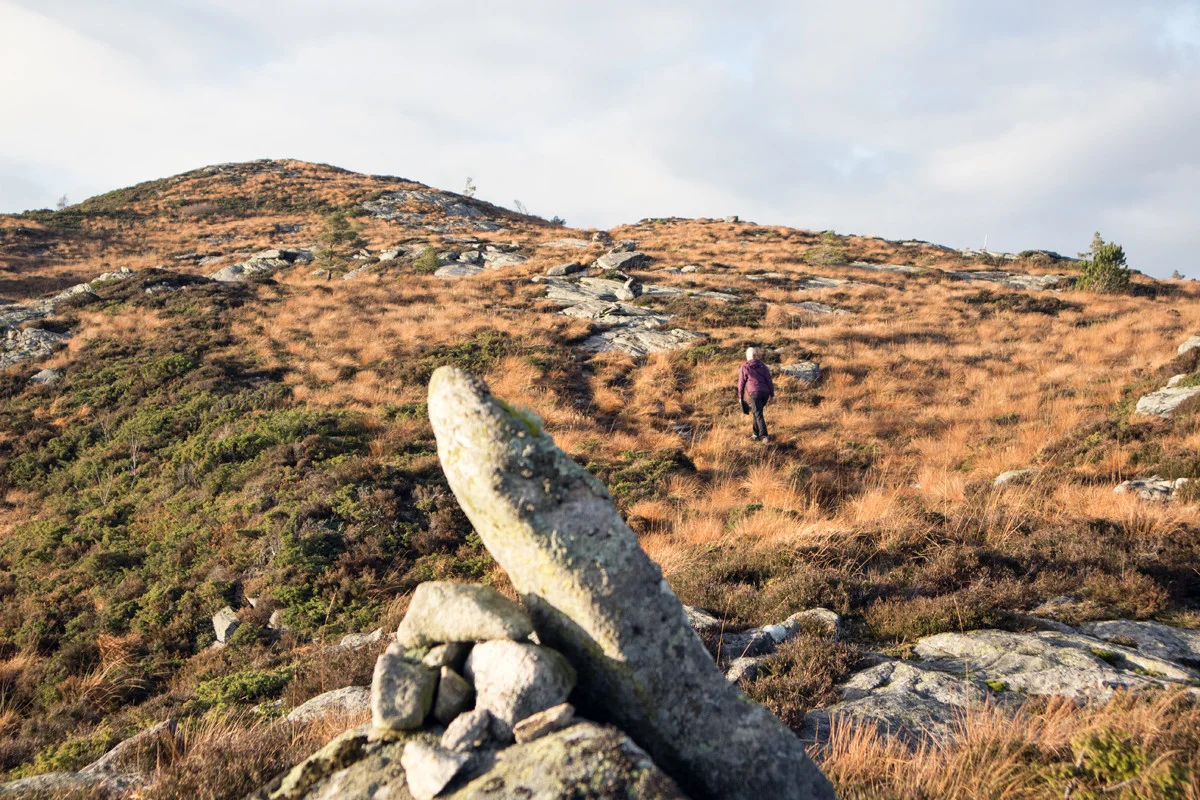
Spjeldsfjellet (166 m.)
Length round trip approximately 1.5 km.
Round trip time: approximately 1 hour.
Season: All year round. Stings in winter.
Grading: Simple

Processing elevation data.. .

You use GPX files that you download from our server 100% at your own risk.