Mountain hike to Håfjellet (937 m) from Håland
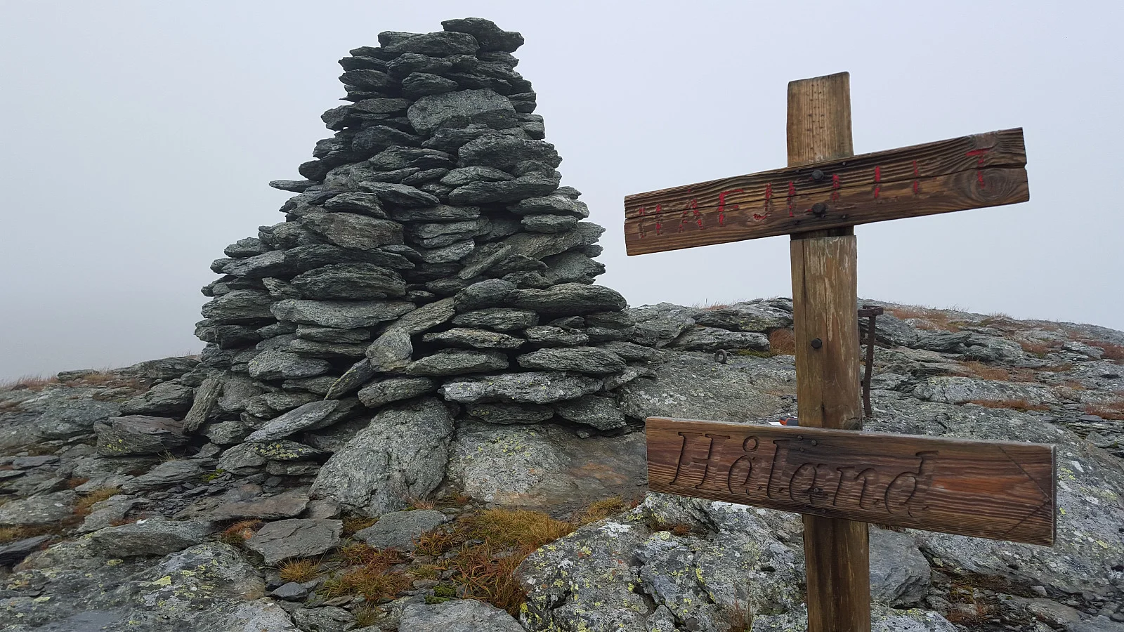
Photo: Johan Solberg
The GPX Track is for guidance only and may contain errors. Use at your own risk.
– always check maps, weather and conditions before your trip.
Access
Approx. 3 h 41 min (197 km) drive from Bergen including ferry time.
Parking
Free parking in parking spaces along the road.
Description
Sign and cairn at the top. Nice view over Åkrafjorden
Information
Length: Approximately 10 km round trip.
Time: Approximately 3 hours.
Grading: Demanding
Processing elevation data.. .
You use GPX files that you download from our server 100% at your own risk.
Accommodation nearby
Hiking nearby
New
Distance
8.2 Km
New
Distance
11.98 Km
Distance
13.03 Km
New
Distance
13.67 Km
New
Distance
17.58 Km
Mountain hike to Ulvanosa, Geitadalstind (1210 m) and Høgetinden (1248 m) - Kvinnherad, Vestland
Premium
Distance
18.19 Km