Mountain hike to Hålandshovda (655 m) in Etne
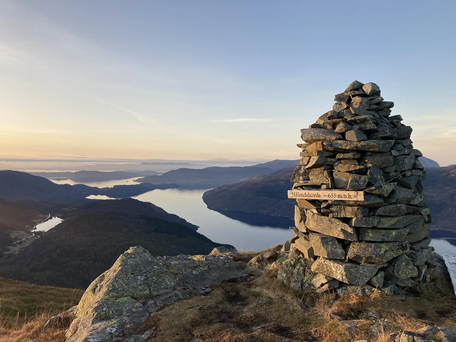
Photo: Trond Opdal
The GPX Track is for guidance only and may contain errors. Use at your own risk.
– always check maps, weather and conditions before your trip.
Access
Approx. 3 h 50 min (184 km) drive from Bergen
Parking
Free parking in a large parking space along the road.
Description
This peak offers a fantastic view. The hike is relatively short, but steep. From the parking lot there are signs showing where the hike starts. There is a marked trail all the way to the top. At the top is a large cairn and you get a great view of Stordalen, Kyrping and Åkrafjorden.
Processing elevation data.. .
You use GPX files that you download from our server 100% at your own risk.
Accommodation nearby
Hiking nearby
Distance
17.25 Km
Distance
18.59 Km
Mountain hike to Ulvanosa, Geitadalstind (1210 m) and Høgetinden (1248 m) - Kvinnherad, Vestland
Premium
Distance
18.92 Km