
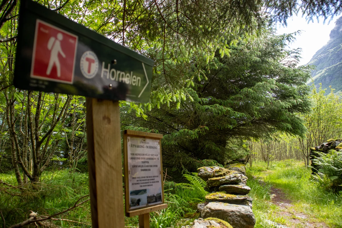
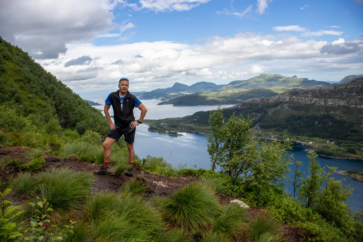
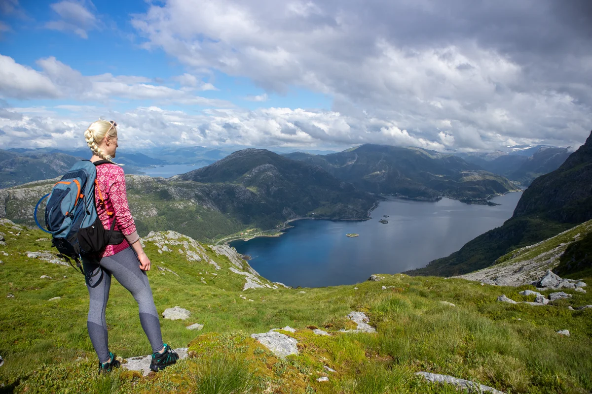
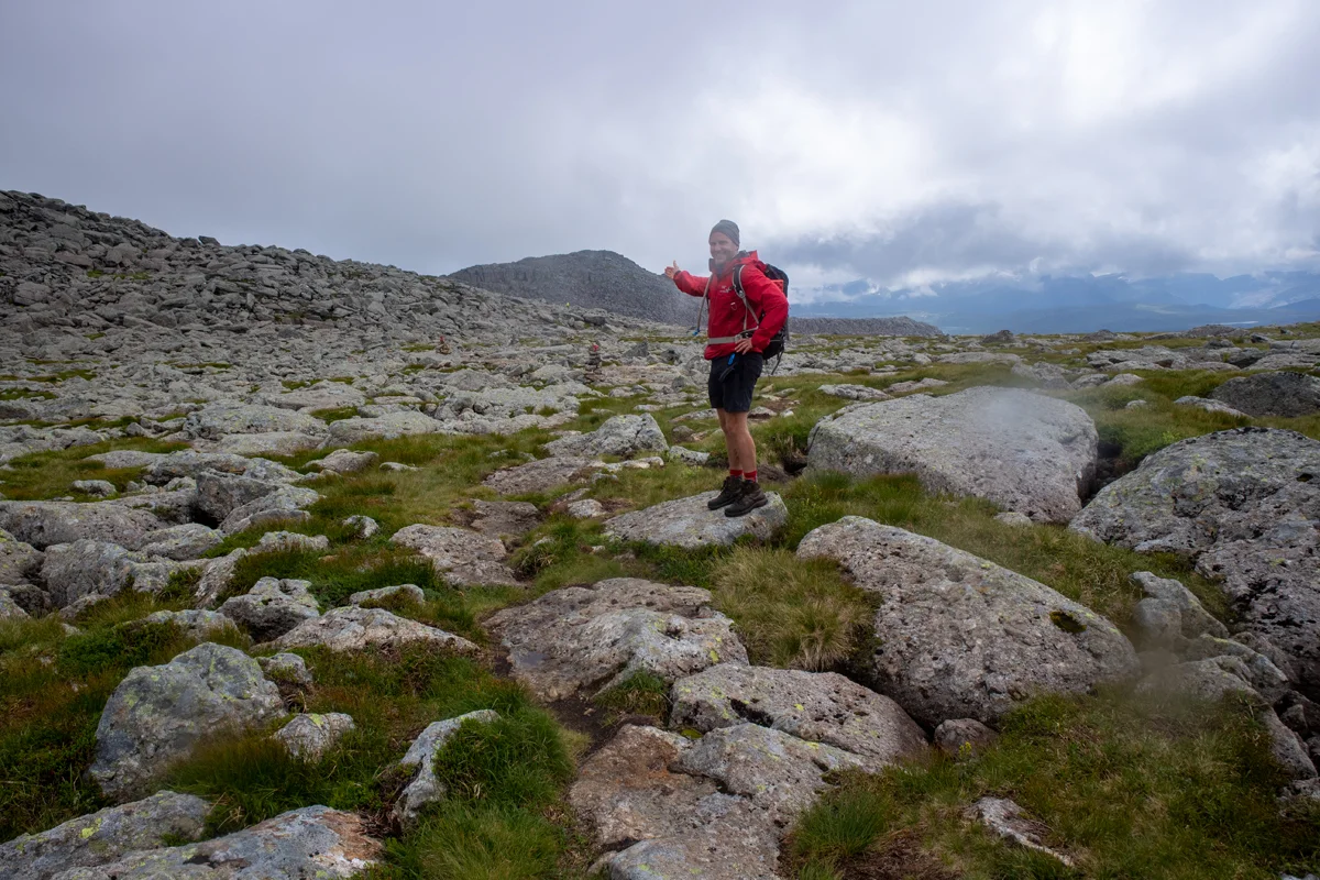
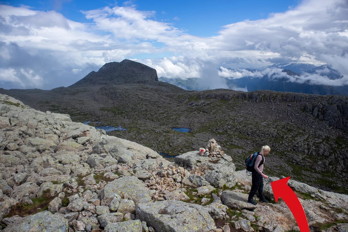
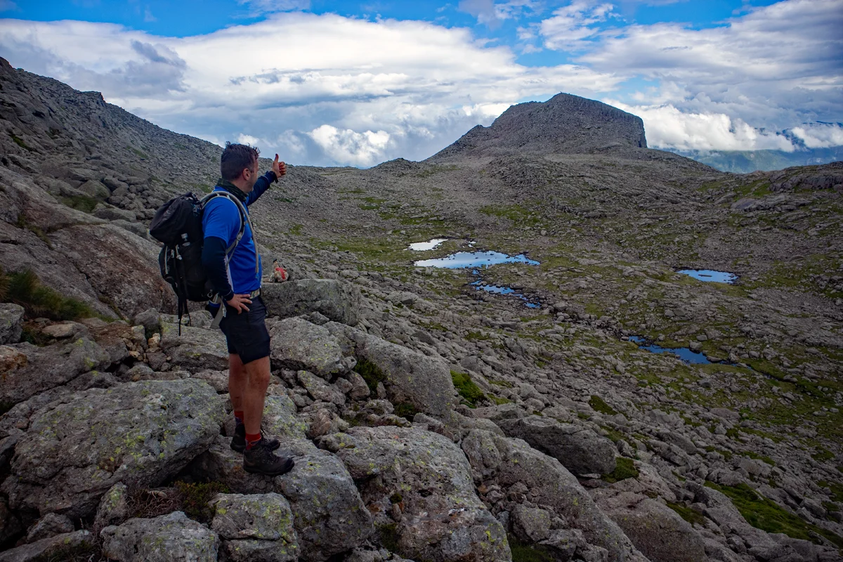
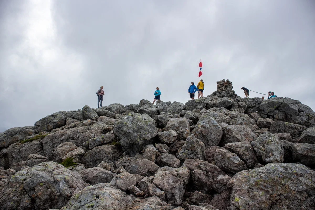
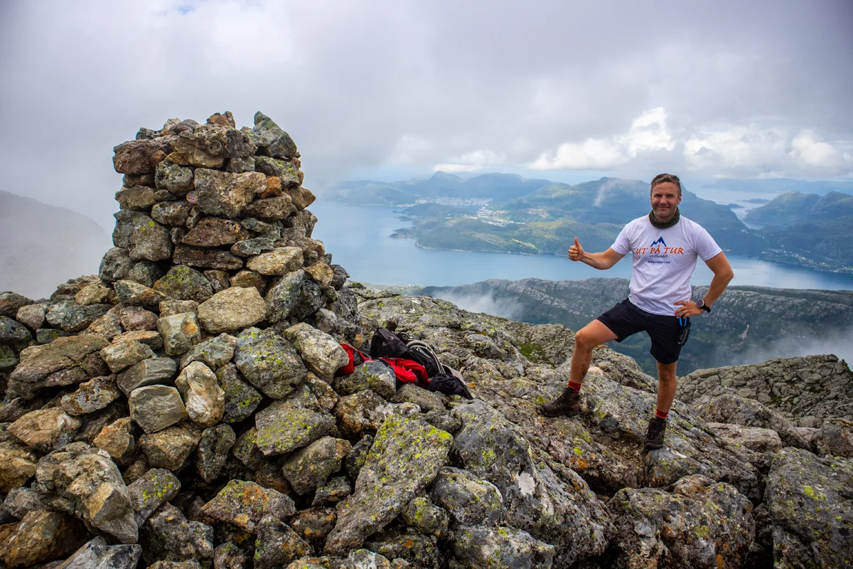
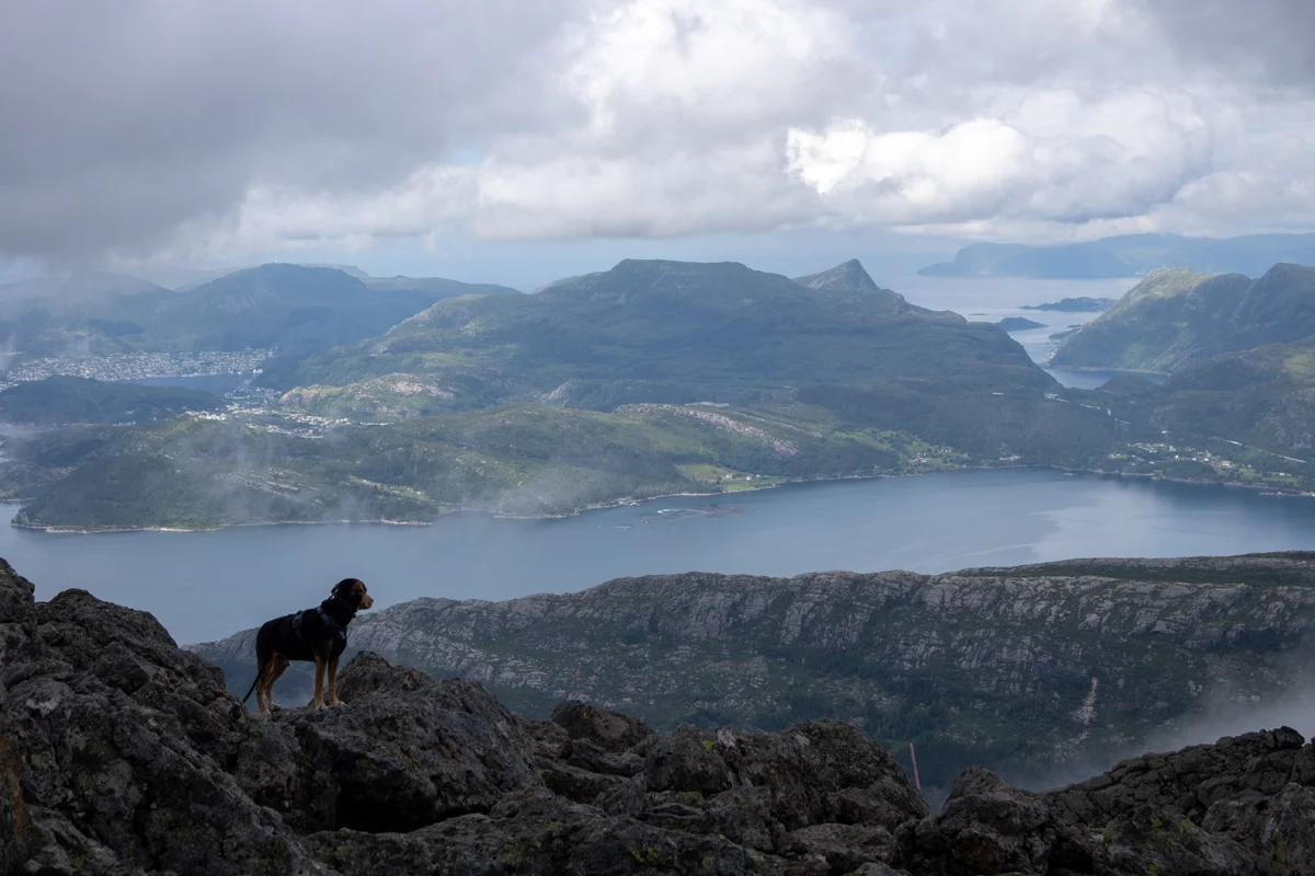
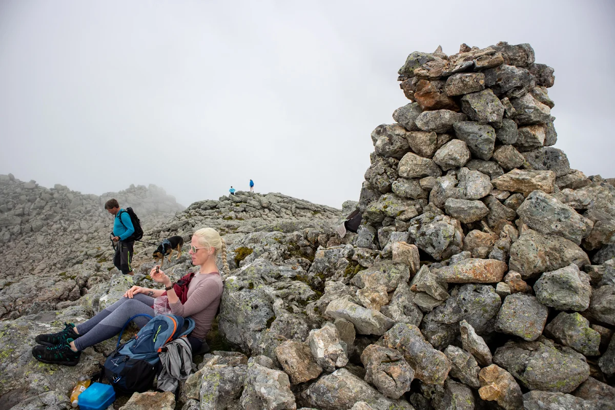
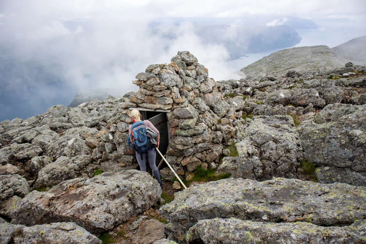
Hike to Europe's highest sea cliff Hornelen (860 m)
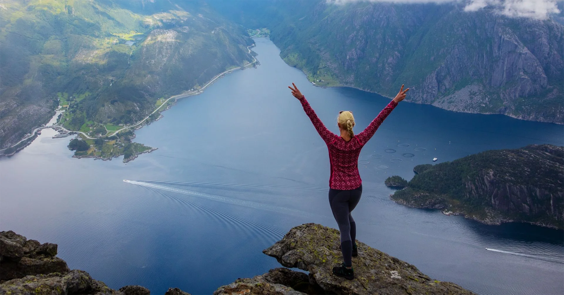
Fottur til Europas høyeste sjøklippe Hornelen (860 moh)
Photo: Chris A.

The GPX Track is for guidance only and may contain errors. Use at your own risk.
– always check maps, weather and conditions before your trip.

Access

It is about a 5-hour drive from Bergen.

Parking

Large parking lot at Hundskår. Parking for a fee. You can pay with Vipps.

Description

Go to the end of the parking lot. There is a sign here marked  Hornelen as well as a description of the hike. Walk through the forest and up the Sherpa stairs. Just before the stairs end you can follow the path to the left. It goes in an extra curve but is much better than the one the Sherpa stairs lead you to.

If there has been a lot of rain, it may be worth walking where the Sherpa steps end because you won't have to cross a river. Either route will take you onto the same path further up the slope.

Follow the marked path through the forest. It is steep so the vegetation disappears quickly. At about 300 m. above sea level, the view over the fjord becomes better. Follow the ridge up to 550 m. above sea level. Now the path turns south and there is another steep section. At the top it flattens out and goes downhill. Now the landscape becomes rocky mountain terrain. Cross between the two small lakes and follow the marked path to the south-east. Another steep section of the cleft before you come up into a long valley. Now you just have to follow the wide landscape into the valley. The path is marked with red T-cairns and is well-maintained.

Follow the marked path to the left of Uraheia where it goes steeply down into the last valley. It is very rocky here so watch where you put your feet. Down in the valley you will come onto the path that comes from Berleneset. Follow the marked path inwards before the last steep climb to the top.

Just before the top there is a deep ravine. Be careful of this. It is no problem to cross it further up towards the top.

At the top cairn there is a nice 360 ​​degree view. You can see Måløy, Bremangerlandet and windmills. There is also a stone hut where you can seek shelter, Olavsbu. For the alpine view down into the fjord you have to continue towards the edge. There are several tough viewpoints there for those without a fear of heights.

Return the same way. Have a nice trip!

Information

Hornelen (860 m.)
Round trip: Approx. 14.7 km.
Time: 6-8 hours.
Elevation gain: approximately 1000 meters.
Season: Summer and autumn.
Grading: Demanding

Processing elevation data.. .

You use GPX files that you download from our server 100% at your own risk.