Mountain hike to Gulebrystet (480 m) in Bremanger
Fjelltur til Gulebrystet (480 moh) i Bremanger
Photo: Admin

The GPX Track is for guidance only and may contain errors. Use at your own risk.
– always check maps, weather and conditions before your trip.

Access

Approximately 4 hours 13 minutes (246 km) drive from Bergen.

Parking

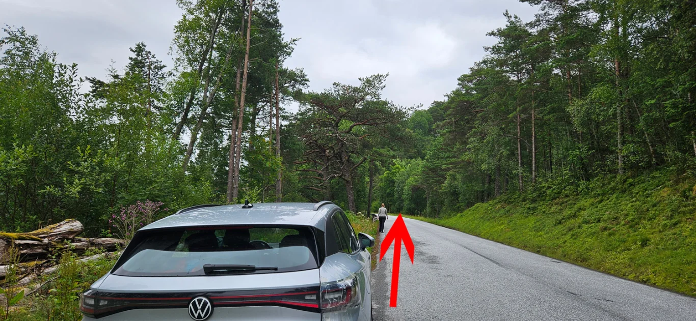
Free parking in a parking space along the main road. Watch out for cars coming at a fast pace.

Description

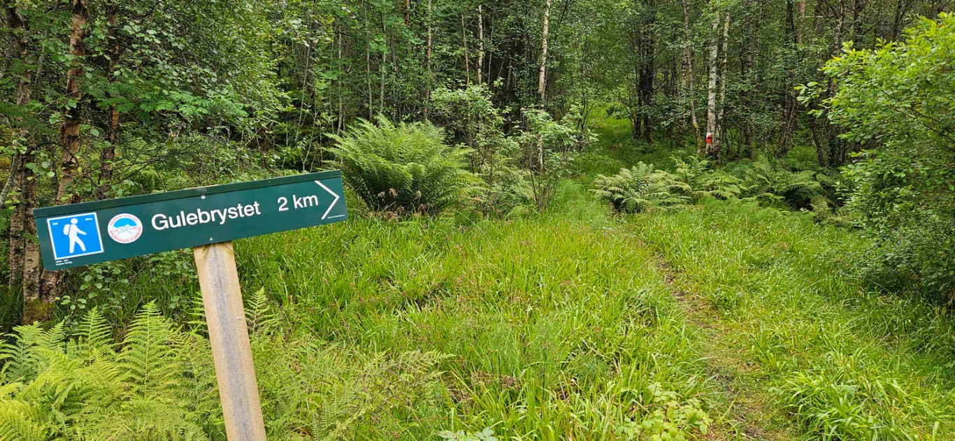
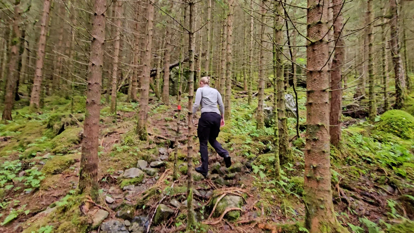
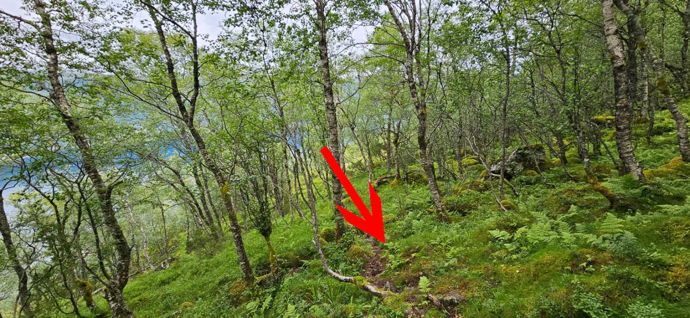
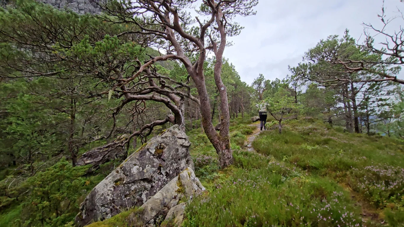
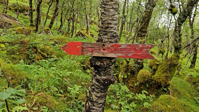
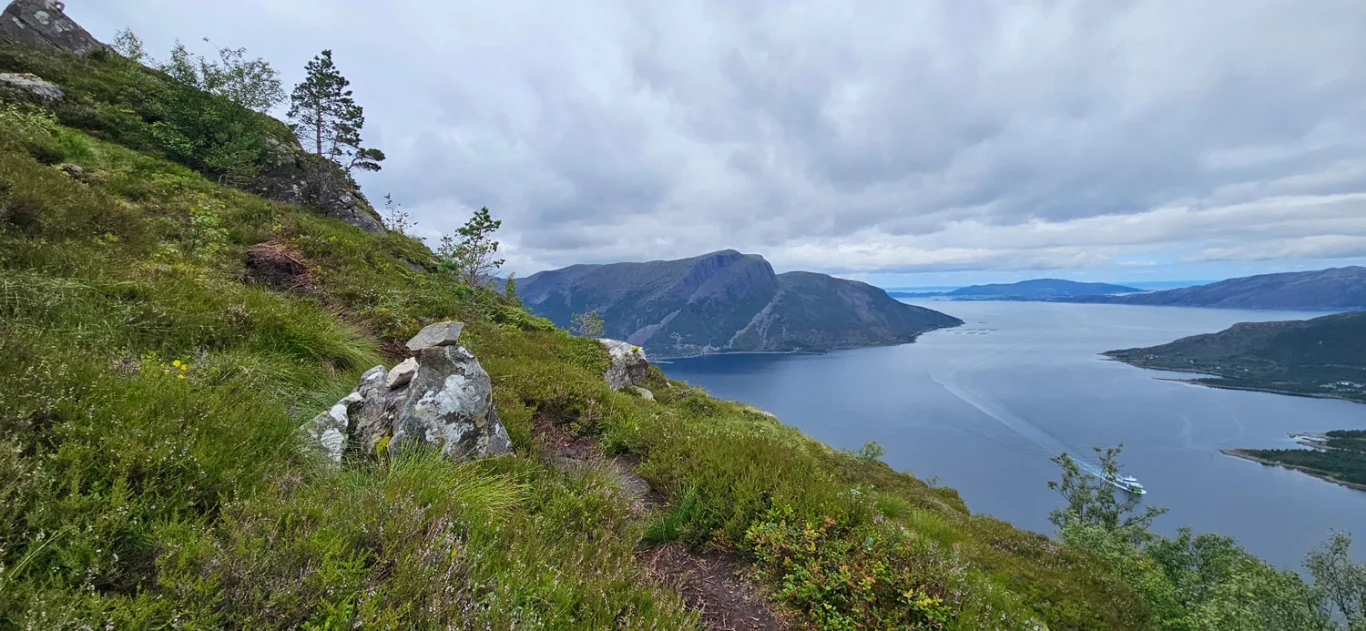
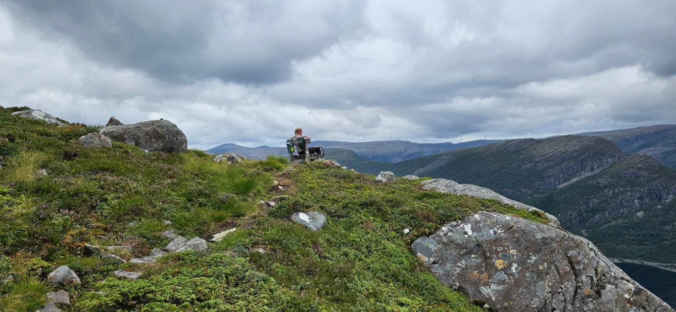
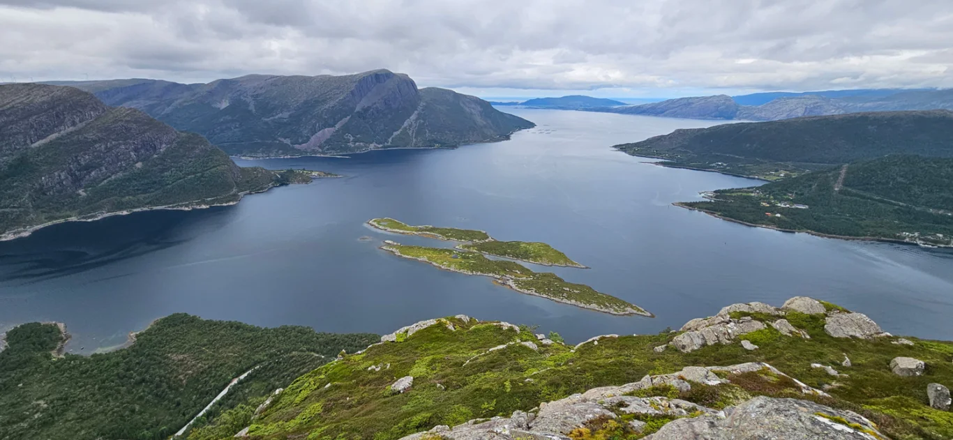
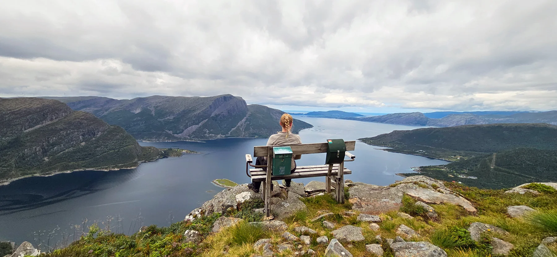
From the main road there is a sign marked 'Gulebrystet 2 km'. The path is clearly marked all the way with red-painted wooden arrows and reflectors on the trees. From the main road the path goes straight into the forest and begins to wind upwards. First you have to climb up some simple knolls before you are led through a spruce forest. After this there is a steady climb through a less dense forest. The path leads you to the southwest, and you come up above the tree line at the front of the viewpoint. The last part up to the bench is steep, and the view is impeccable. At the viewpoint there is a bench with two permanently mounted mailboxes. Here you can sit and really enjoy the view.

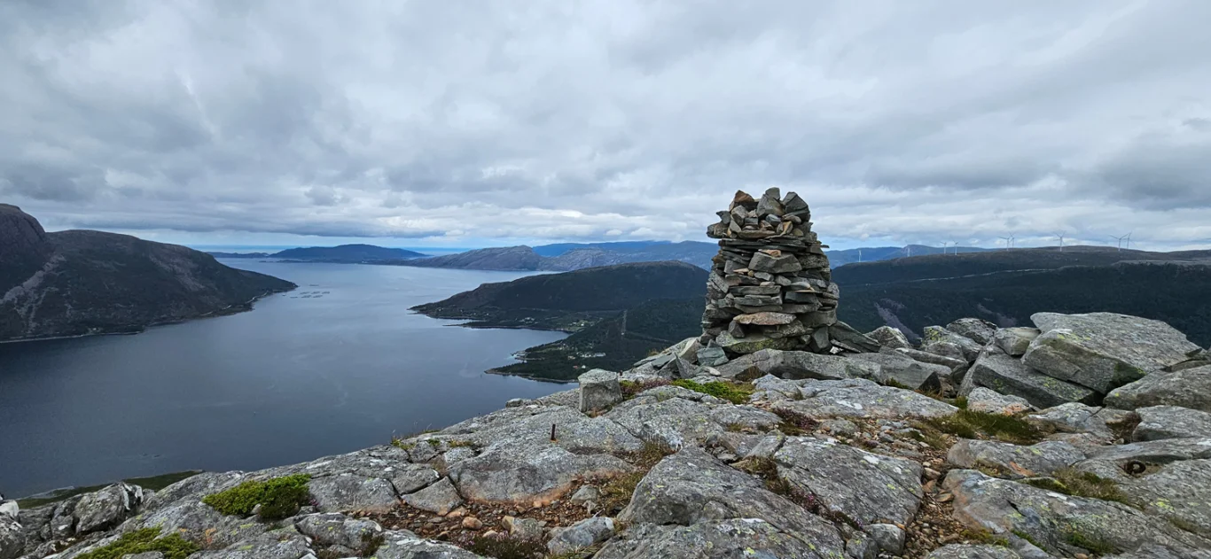
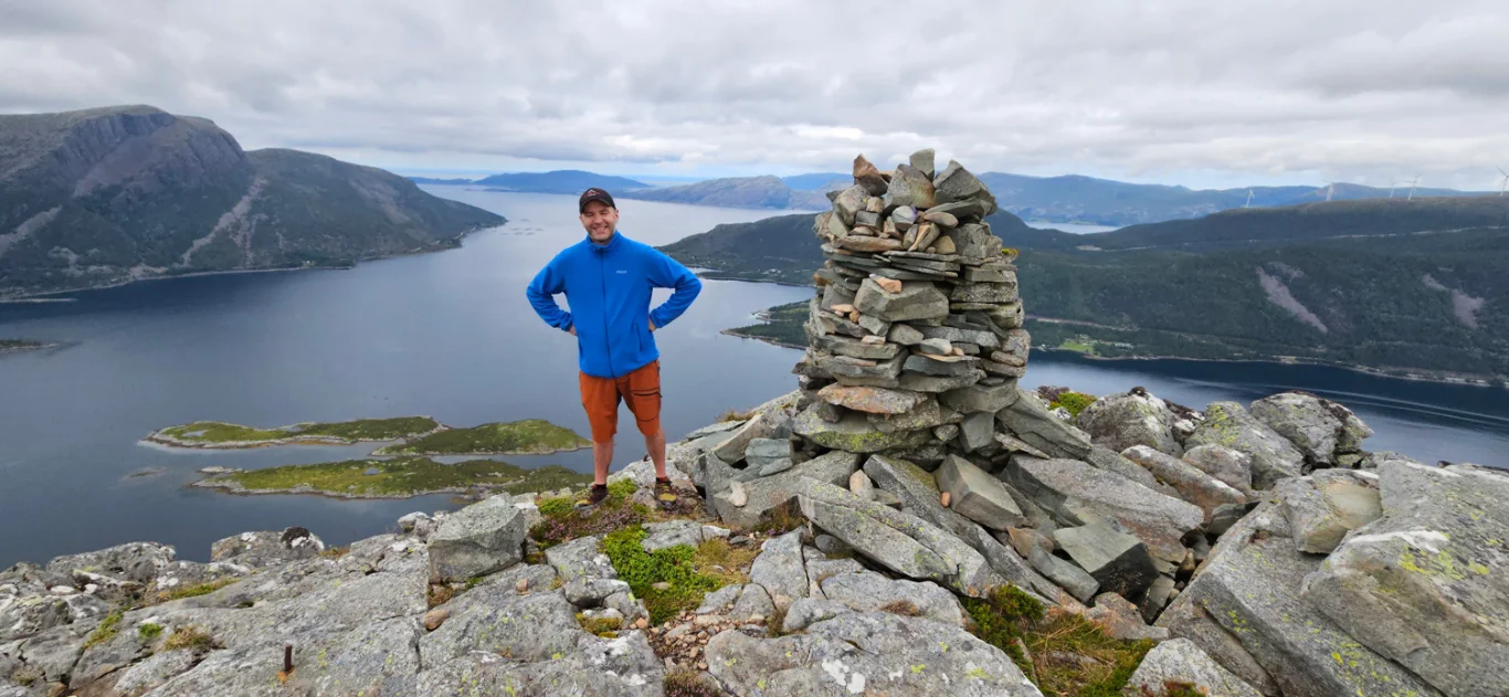
If you turn around, you will also see that there is a cairn nearby. You should also go up here, because the view is even better here.

Return the same way!

Information

Length: Approximately 4 km round trip
Time: Approximately 2 hours round trip
Elevation gain: 489 meters
Season: Apr - Oct
Grading: Simple

Processing elevation data.. .

You use GPX files that you download from our server 100% at your own risk.