
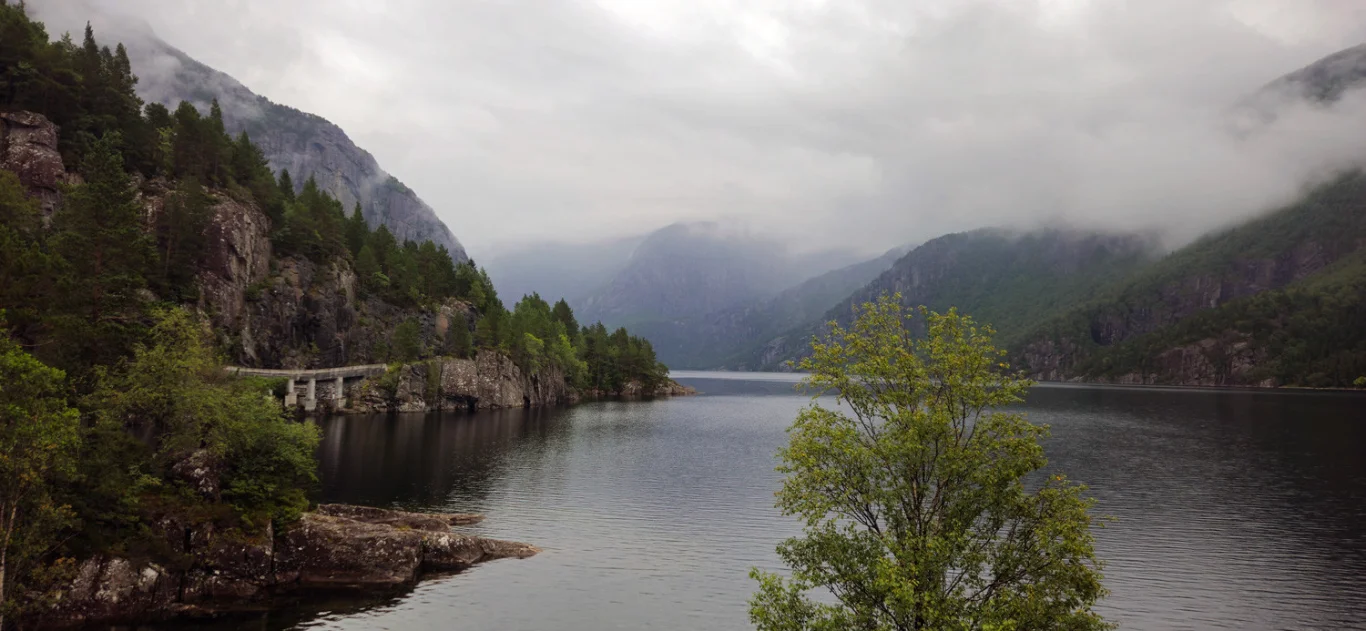
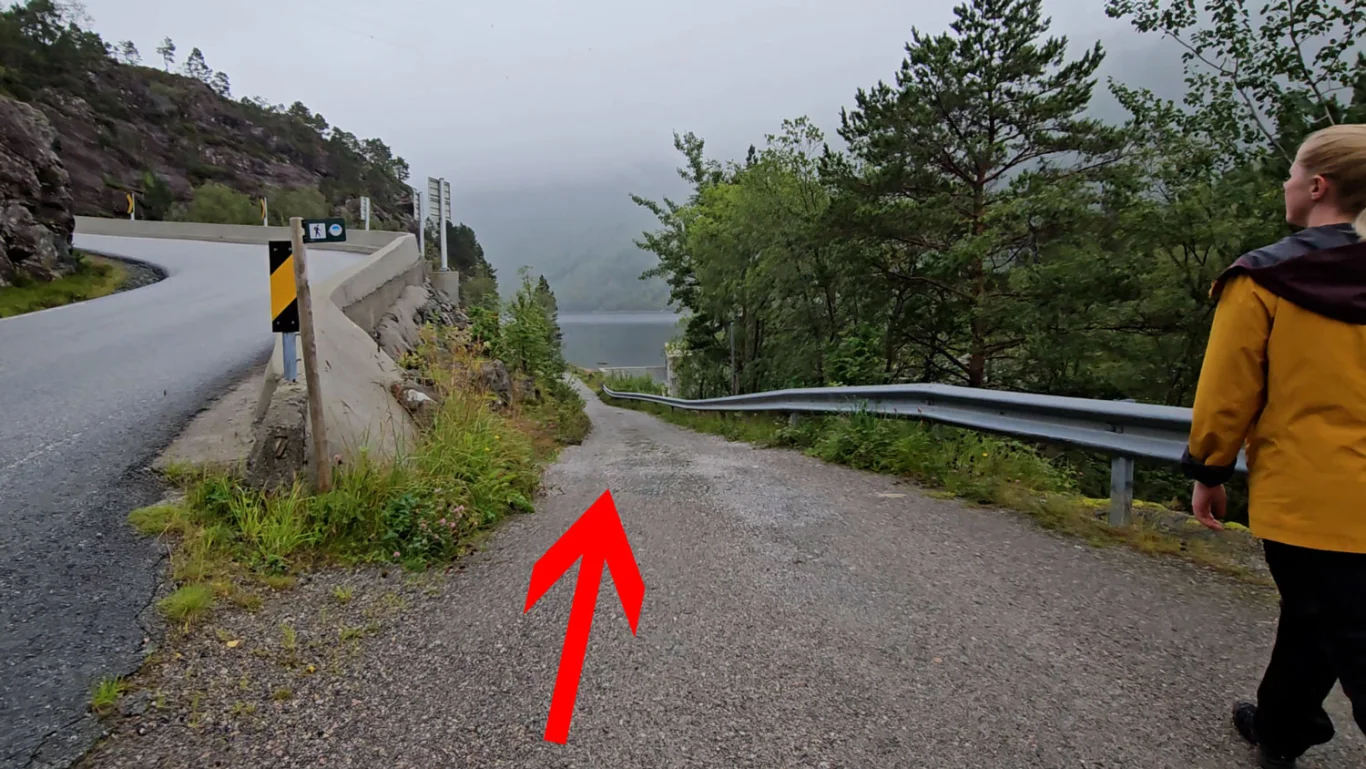
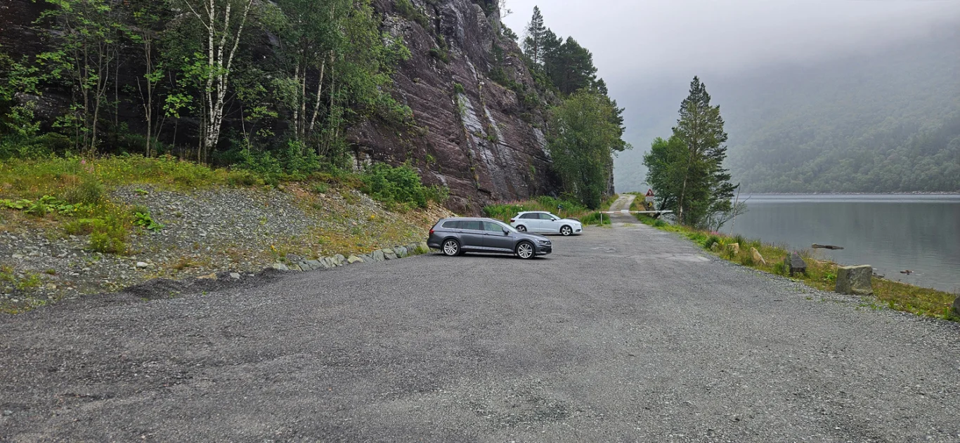
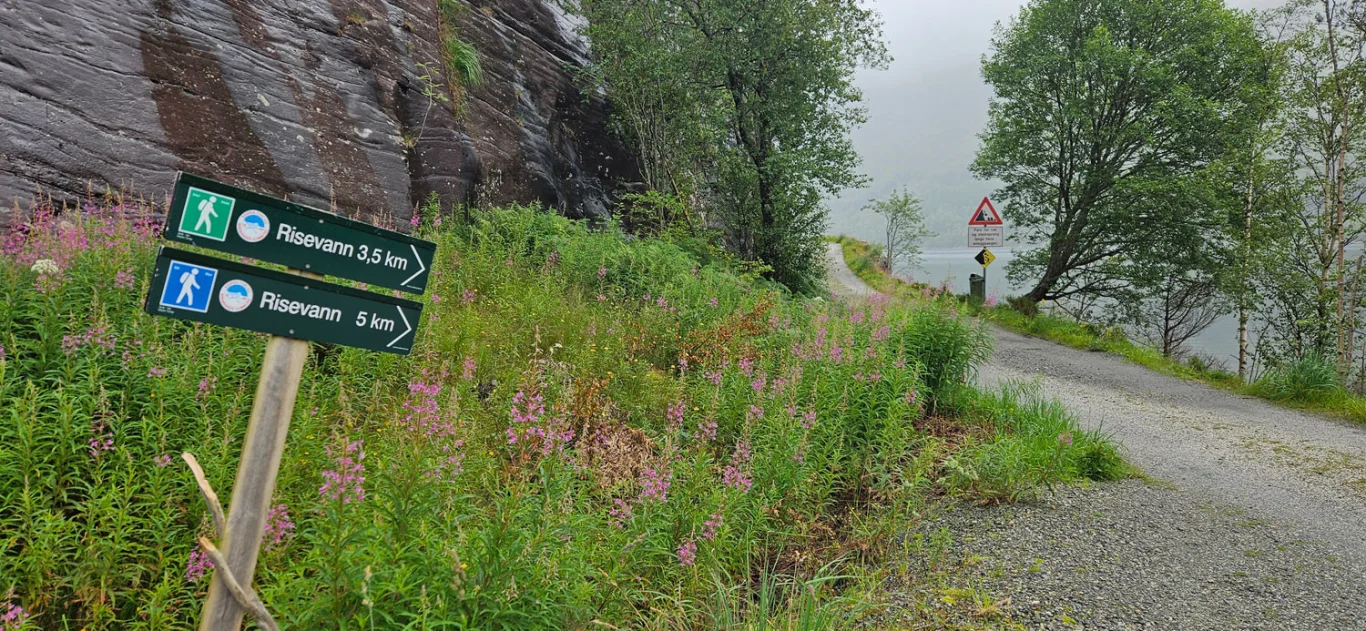
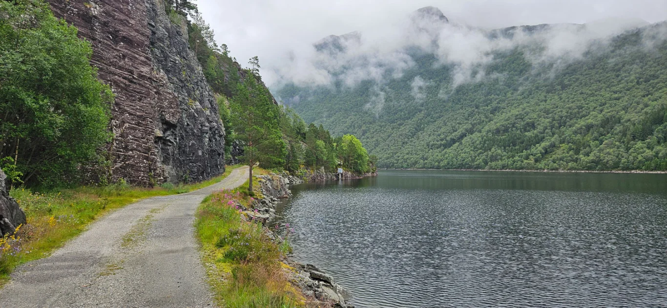
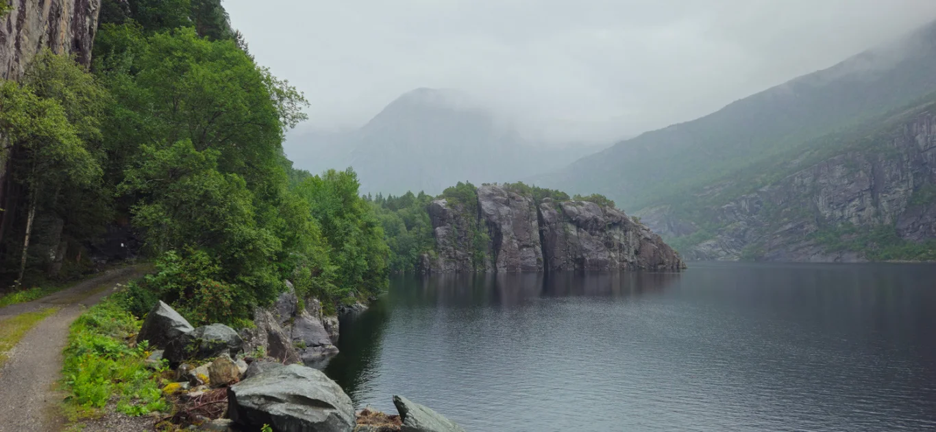
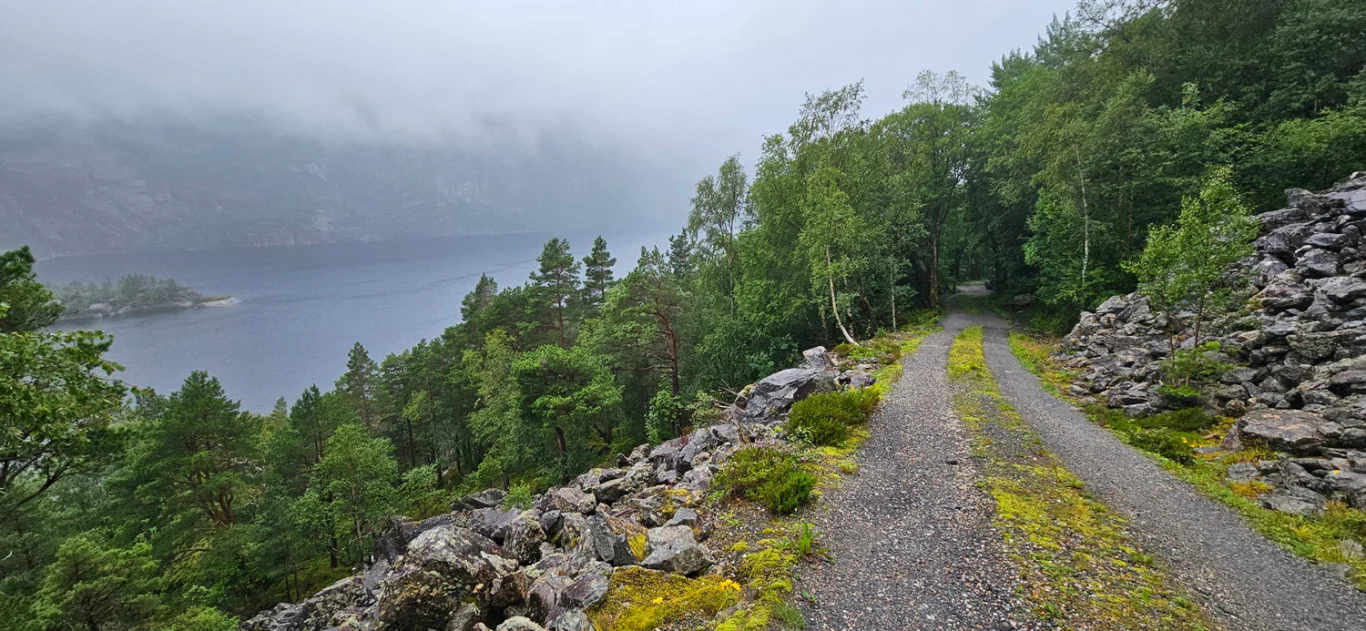
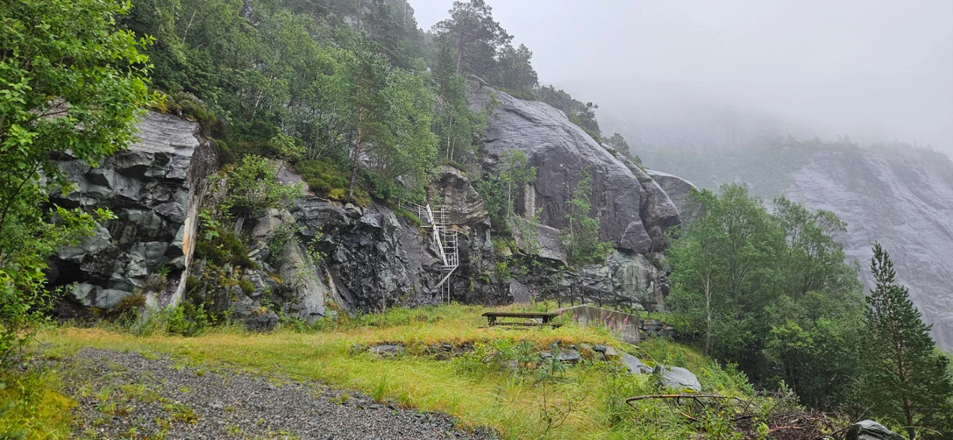
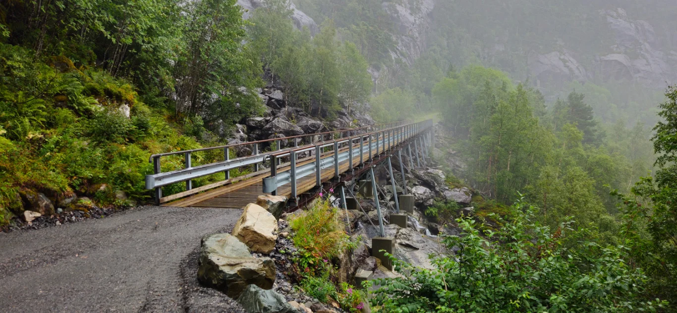
Hike along Risevatnet in Svelgen
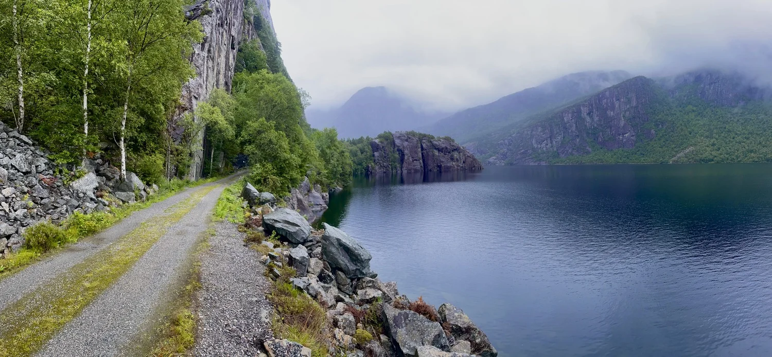
Vandretur langs Risevatnet i Svelgen
Photo: Admin

The GPX Track is for guidance only and may contain errors. Use at your own risk.
– always check maps, weather and conditions before your trip.

Access

Approximately 4 hours 21 minutes (252 km) drive from Bergen city center.

Parking

Parking in the center of Svelgen.

Description

A short walk from Bremanger Fjordhotell is an old construction road that stretches 5 km along the idyllic Risevatnet.

The road is on level ground for the first 4 km, with a bit more climbing on the last part of the hike. It is ideal for both hiking and cycling, surrounded by powerful and beautiful nature. This area serves as one of several starting points for further hikes towards Keipen, Hjelmen, and the unique landscape that forms part of the Ålfotebreen landscape conservation area.

Information

Length: Approximately 11 km round trip
Time: Approximately 3-4 hours
Elevation gain: 337 meters
Season: All year round.
Grading: Simple

Processing elevation data.. .

You use GPX files that you download from our server 100% at your own risk.

Accommodation nearby

Hiking nearby