Mountain hike to Sankta Synnevahornet (689 m) from Austadalen
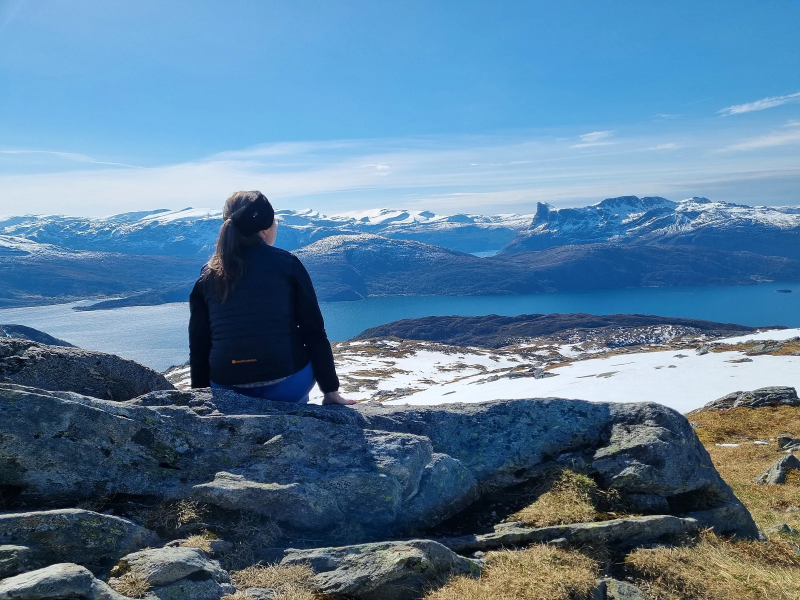
Photo: Reidun Kristiansen
The GPX Track is for guidance only and may contain errors. Use at your own risk.
– always check maps, weather and conditions before your trip.
Access
Approximately 5 hours 45 minutes (303 km) drive from Bergen city center.
Parking
Small parking lot with space for 3 cars.
Description
Cross the road and follow the gravel road until it stops. From there the path continues. It is not very well signposted, and the markings are somewhat variable. A little way up you will come to some old farm houses. There you have a great view towards Hornelen. The view only gets better and better as you get higher up. The path also becomes clearer, and the markings of the path are replaced with large cairns that lead you to the top.
Processing elevation data.. .
You use GPX files that you download from our server 100% at your own risk.
Accommodation nearby
Hiking nearby
FeaturedHot
Distance
8.96 Km
Distance
9.53 Km
Mountain hike via the Thousand-Third Staircase to Gorgeneshorn (517 m) - Vanylven, Møre og Romsdal
Premium
Distance
12.49 Km