
Mountain hike Berstadhornet (578 m) from Skumdalen

Fjelltur Berstadhornet (578 moh) fra Skumdalen
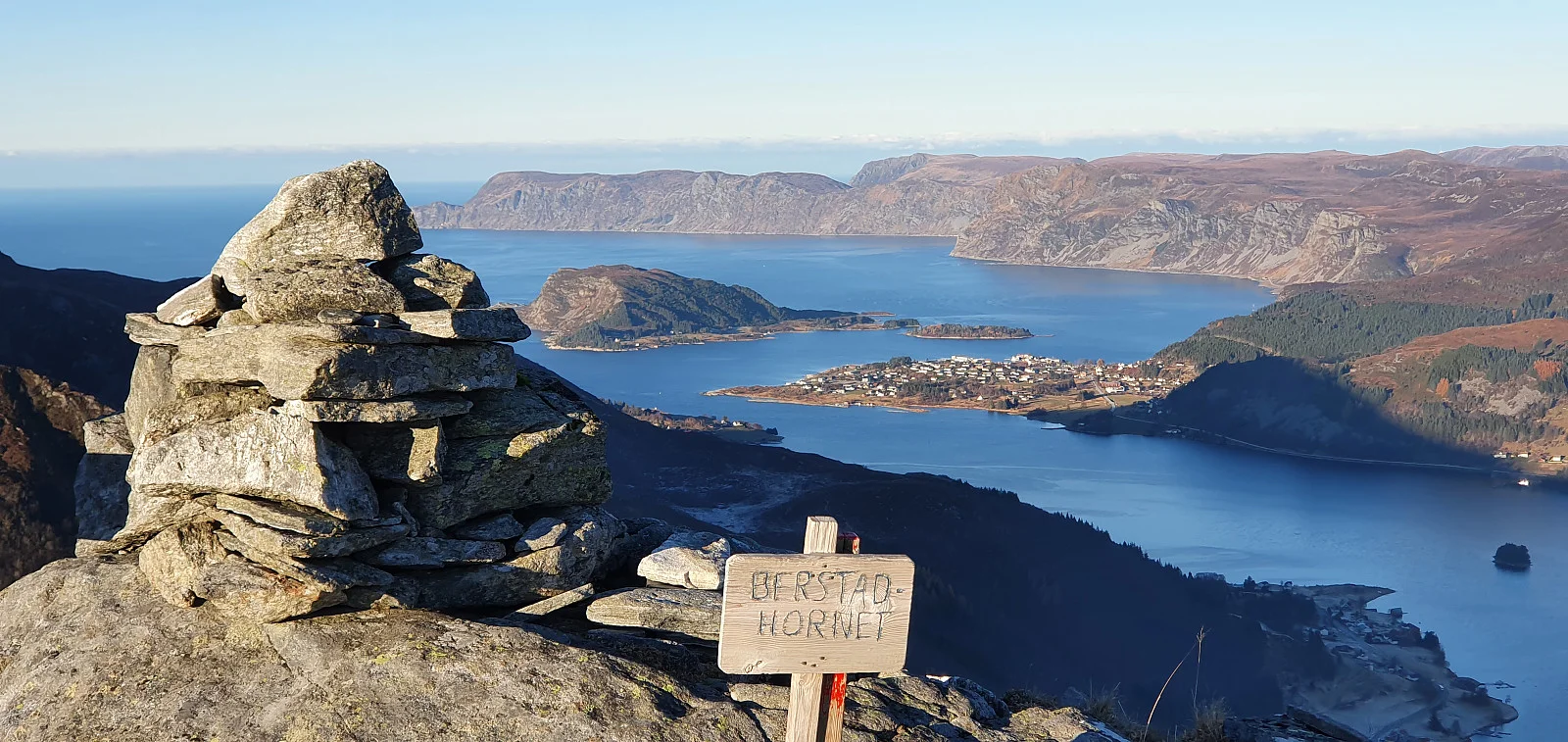
Photo: Johan Solberg

The GPX Track is for guidance only and may contain errors. Use at your own risk.
– always check maps, weather and conditions before your trip.

Access

Approximately 6 hours (331 km) drive from Bergen city center.

Parking

Parking on both the right and left side of the main road.

Description

From the start, the trail moves through open, easy terrain and is clearly marked with red pins all the way. From the top, a wide view opens up over Moldefjorden, Selje and Vanylvsfjella.

Information

Length: Approximately 5 km round trip
Time: 1 hour and 30 minutes round trip
Elevation gain: Approximately 317 meters
Season: All year round
Grading: Simple

Processing elevation data.. .

You use GPX files that you download from our server 100% at your own risk.

Accommodation nearby

Hiking nearby