Mountain hike to Tarvaldsegga (645 m) in Stadlandet
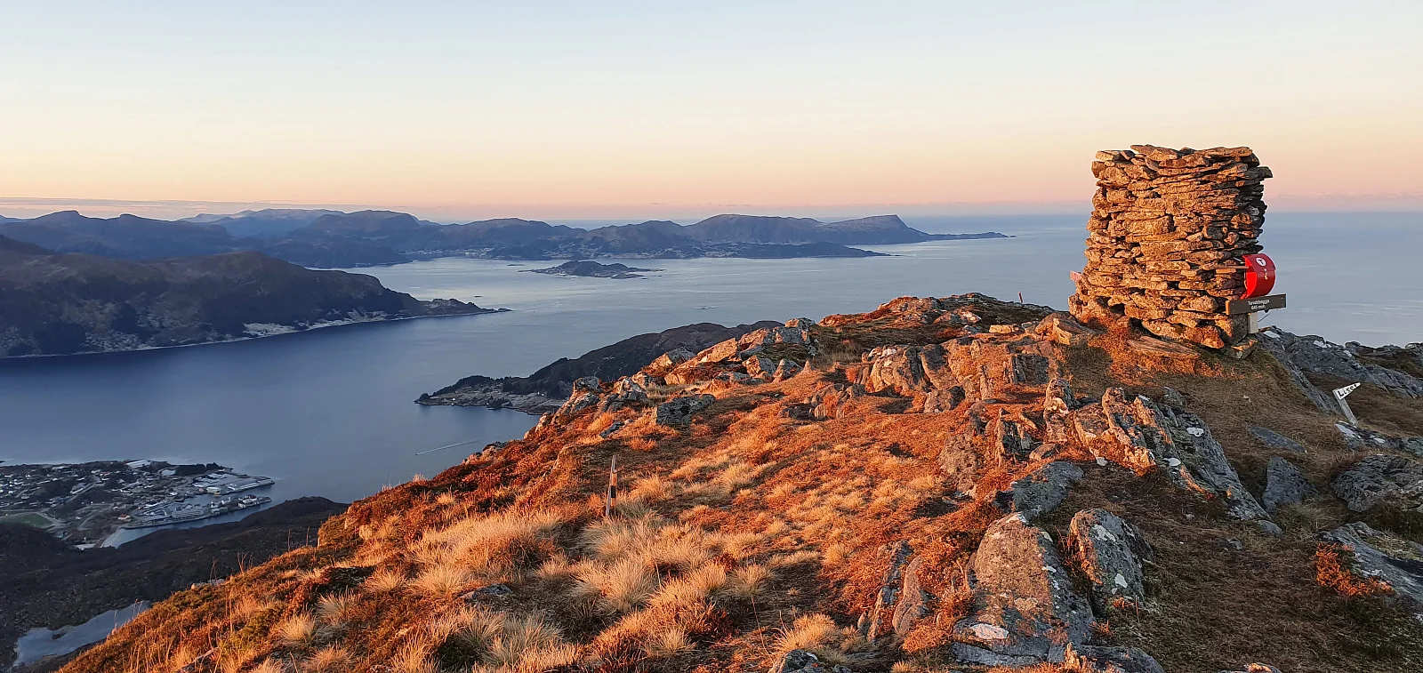
Photo: Johan Solberg
Information
Length: 3.6 km round trip
Time: Approximately 2 hours round trip
Elevation gain: 391 meters
Season: All year round
Time: Approximately 2 hours round trip
Elevation gain: 391 meters
Season: All year round

Processing elevation data.. .
You use GPX files that you download from our server 100% at your own risk.
Accommodation nearby


Hiking nearby


Mountain hike via the Thousand-Third Staircase to Gorgeneshorn (517 m) - Vanylven, Møre og Romsdal
Premium
Distance
8.59 Km

Distance
8.73 Km


Mountain hike to Kragsethornet (459 m) via 'Hakalletrappa' in Vanylven - Vanylven, Møre og Romsdal
Premium
Distance
13.31 Km