
Mountain hike to Traneberget (418 m) on Vågsøy

Fjelltur til Traneberget (418 moh) på Vågsøy
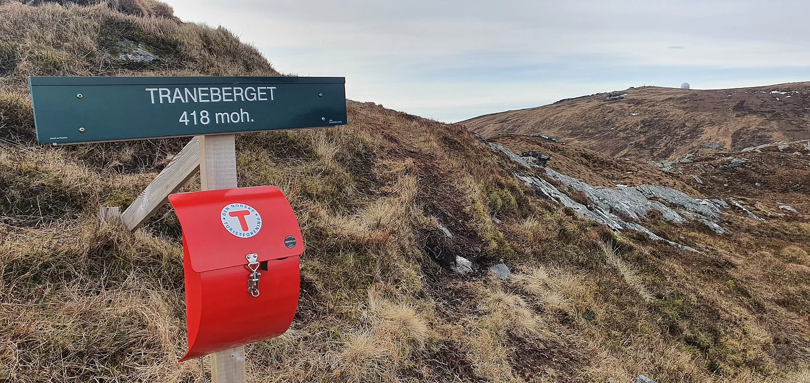
Photo: Johan Solberg

The GPX Track is for guidance only and may contain errors. Use at your own risk.
– always check maps, weather and conditions before your trip.

Access

Approximately 5 hours 46 minutes (303 km) drive from Bergen city center.

Parking

Parking along the road.

Description

Park in the parking lot at the highest point between Refvikvatnet and Indre Kvalheim, where the old and new roads from Refvik meet. The walk rewards you with a fantastic view of Refvik and the majestic sea to the west. Start your adventure by following the trail that is clearly marked with a starting sign at the trailhead.

Information

Length: Approximately 2.4 km round trip
Time: Approximately 1 hour round trip
Elevation gain: 248 approx. meters
Season: All year round.
Grading: Medium

Processing elevation data.. .

You use GPX files that you download from our server 100% at your own risk.

Accommodation nearby

Hiking nearby