Vetvika from Svarstad in Glaciers
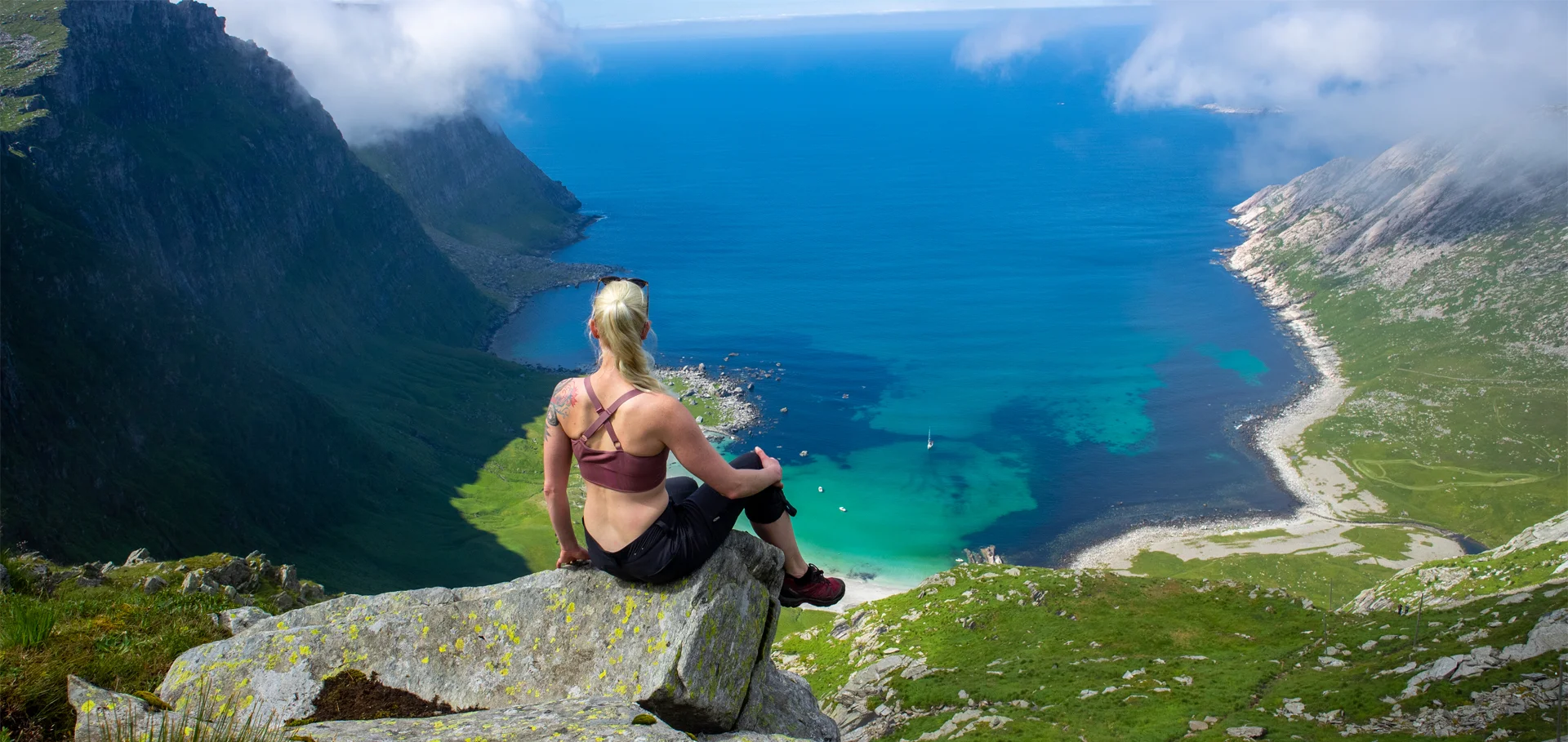
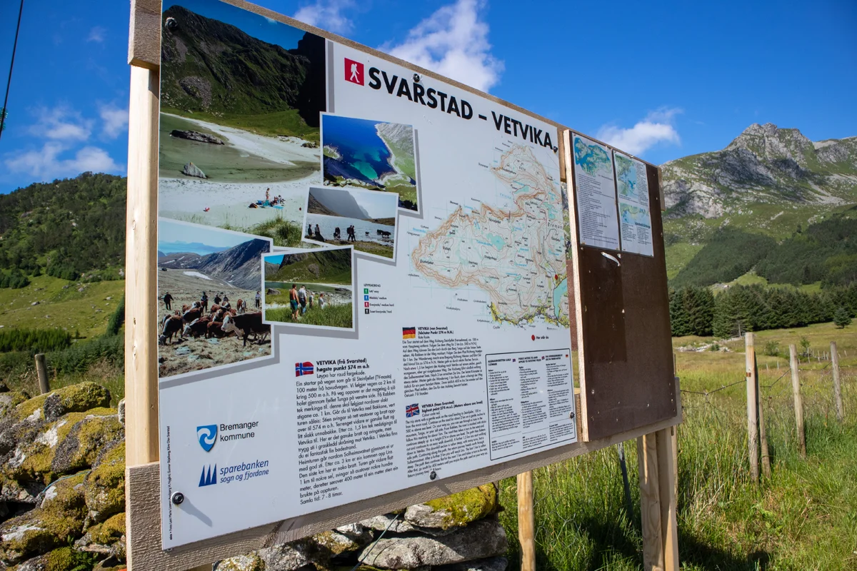
Vetvika fra Svarstad i Bremanger
Photo: Admin

The GPX Track is for guidance only and may contain errors. Use at your own risk.
– always check maps, weather and conditions before your trip.

Access

From Bergen, drive to Knarvik and on to the ferry port Oppedal-Lavik. From Lavik, drive to Førde. At the first roundabout down towards Førde city center, drive left over the bridge. Continue through the shopping mall boulevard. Drive straight ahead signposted 'Måløy'. Drive to Naustdal and through the long Naustdal tunnel. Follow National Road 5 until you reach the signposted 'Svelgen'. Drive right and follow county road 614 to Svelgen. Drive through Svelgen city center and on the right signposted 'Måløy.' Drive over the mountain through the Vingetunnelen. Continue outward along the fjord to Leirgulen. You will now see the Hornelen sea cliff in front of you.
Drive past Leirgulen over the bridge. Drive on with Hornelen on your left. Drive through the underwater Skatestraumstunnelen. Continue straight ahead along the fjord. Drive up and through the Oldeidstunnelen. Continue down the valley along Dalevatnet. About halfway along the water you will see a sign on the right marked 'Vetvika'. Drive in here and to the end of the gravel road to parking.
It is about a 5-hour drive from Bergen.

Parking

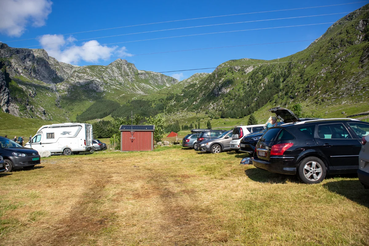
Parking on the ground. You should be careful where you park if it has rained a lot. Price NOK 50,- per day (2021). Payment with Vipps to number 612359. Remember to mark the car's registration number.

Description

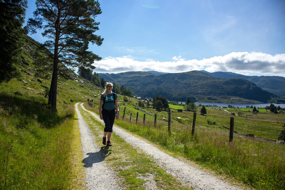
The hike starts from the parking lot. Follow the construction road into Svarstaddalen. The road winds up the mountainside and you quickly reach the height.

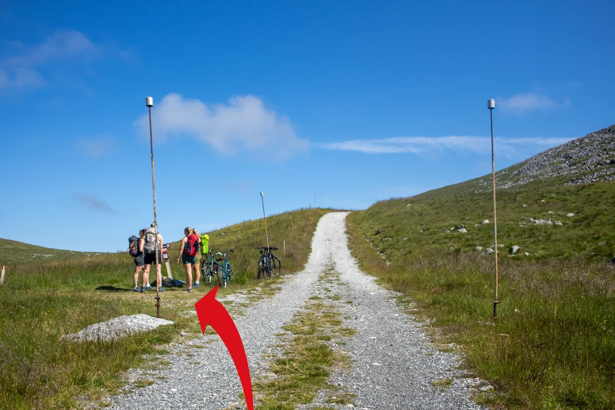
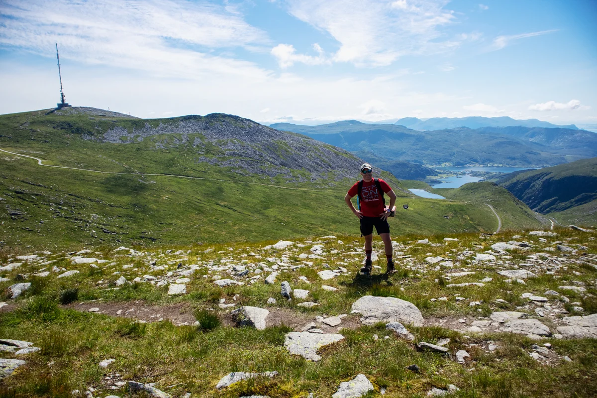
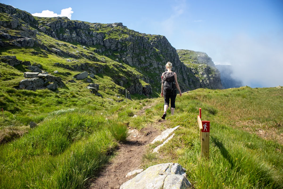
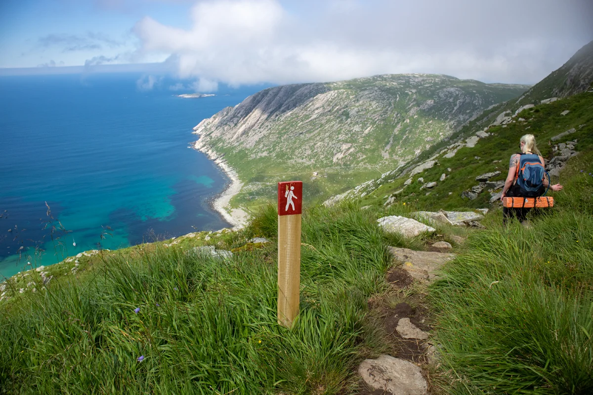
Follow the road inland until you see a sign on the left marked 'Vetvika'. Follow the path into the plain past the cabin. The path is good and is marked with red painted wooden posts. After a few hundred meters you will come to a crossroads. Both roads lead to Vetvika. I recommend going left over the mountain to experience the great view. The path that goes to the right is the one you return on if you do the round trip.

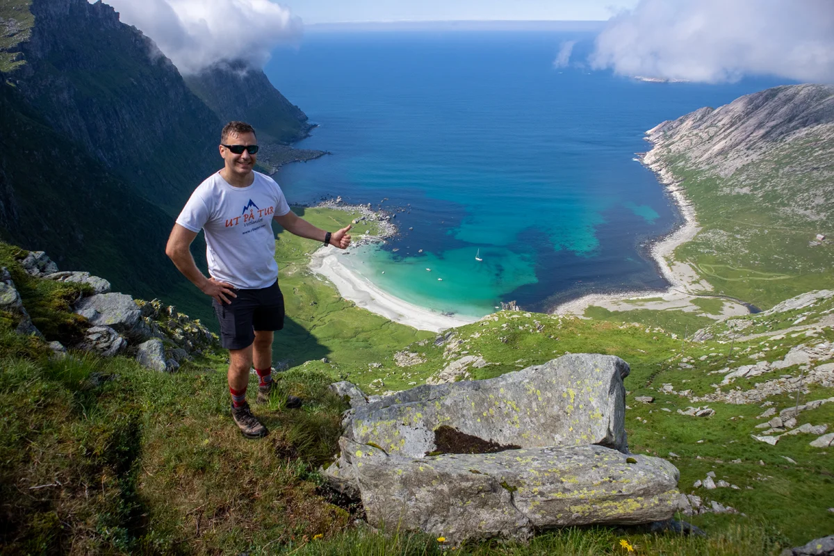
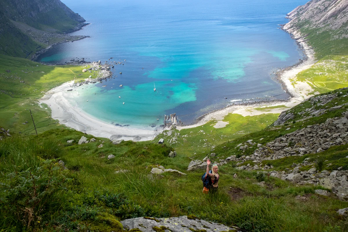
Go left. There is a steady climb to the summit at 574 m. above sea level, which is the highest point of the hike. Follow the marked trail further into the plateau landscape. Keep right and follow the trail that runs between Nibba and Karihaugen. Now it starts to go downhill. Follow the trail to the beautiful viewpoint over Vetvika.

If you want an easy hike, this is a great place to turn around and return the same way.

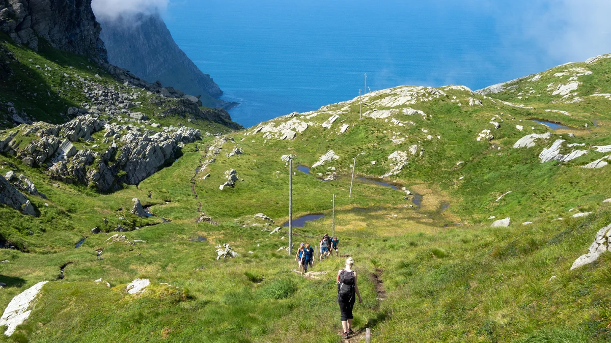
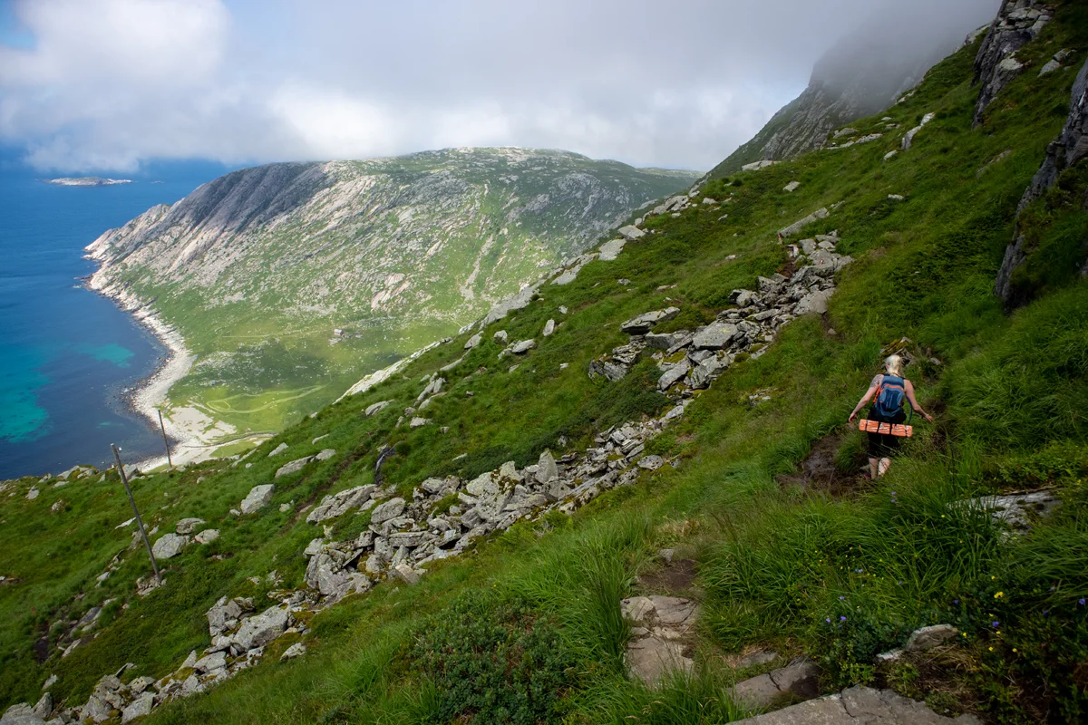
Follow the marked path down to Vetvika. This is a demanding section. It is about 500 meters in altitude down to the beach. Watch out for loose rocks and slippery ground. If it has rained, you should be extra careful.

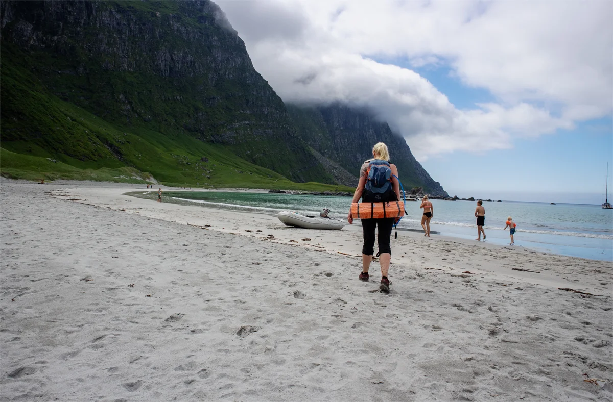
Once you have reached the beach, just take a long break. You can swim and sunbathe if the weather is nice. It is also popular to spend the night in a tent here.

We recommend returning via Solheim. Then you follow the marked path north and then east along Solheimsvatnet. This path is just as well marked as the one that led you to Vetvika.

Have a good trip!

Information

Vetvika (1 m.)
Round trip: Approximately 17.8 km.
Round trip time: 6-8 hours. Slightly shorter if not going round trip.
Elevation gain: approximately 1000 meters.
Season: Summer and autumn.
Wear good hiking boots that go above the ankle. This is especially true on the steep descent to Vetvika where there is loose soil and rocks.
NB: This is a demanding and long hike, especially if you are going to do it in one day without staying in a tent.
Grading: Demanding

Processing elevation data.. .

You use GPX files that you download from our server 100% at your own risk.

Accommodation nearby

Hiking nearby