Hiking tips in Voss – Experience 5 mountain hikes in 5 days

Voss is more than extreme sports – it is a first-class starting point for classic mountain hikes.
In this guide, you will get a complete 5-day package: Tips for five challenging summer hikes with stunning views, plus our best tips for accommodation in Voss in various price ranges.
The village is only about 1.5 hours by car from Bergen, and the Bergen railway stops in the middle of Vossevangen. From here, you can quickly reach the high mountains surrounding Vangen.
We recommend a car to reach the starting points efficiently. If you travel by train, it takes about 1 hour and 20 minutes from Bergen or around 5 hours and 50 minutes from Oslo. Ankommer du uten bil, vurder leie hos Avis Car Rental Voss or Hertz Voss. At the bottom of the article, you will find more information about accommodation in Voss for the best possible stay. For a complete trip description and GPS tracks, click on read more under each hiking suggestion.
Facts about the hikes
- Format: 5 x day hikes in the mountains around Voss
- Hike length: Approx. 10–25 km per day
- Duration: 5 days (one hike per day)
- Difficulty level: Moderate–challenging
- Season: Summer and early autumn
- For whom: Hikers in good shape, used to high mountain terrain
Recommended accommodation
- Fleischer’s Hotel (Voss)
- Park Hotel Vossevangen
- Store Ringheim Hotel and Restaurant
- Voss Hostel / Hostel (affordable)
- Elva Hotel & Restaurant
- Stalheim Hotel (open in the summer season)
Hiking tips day by day
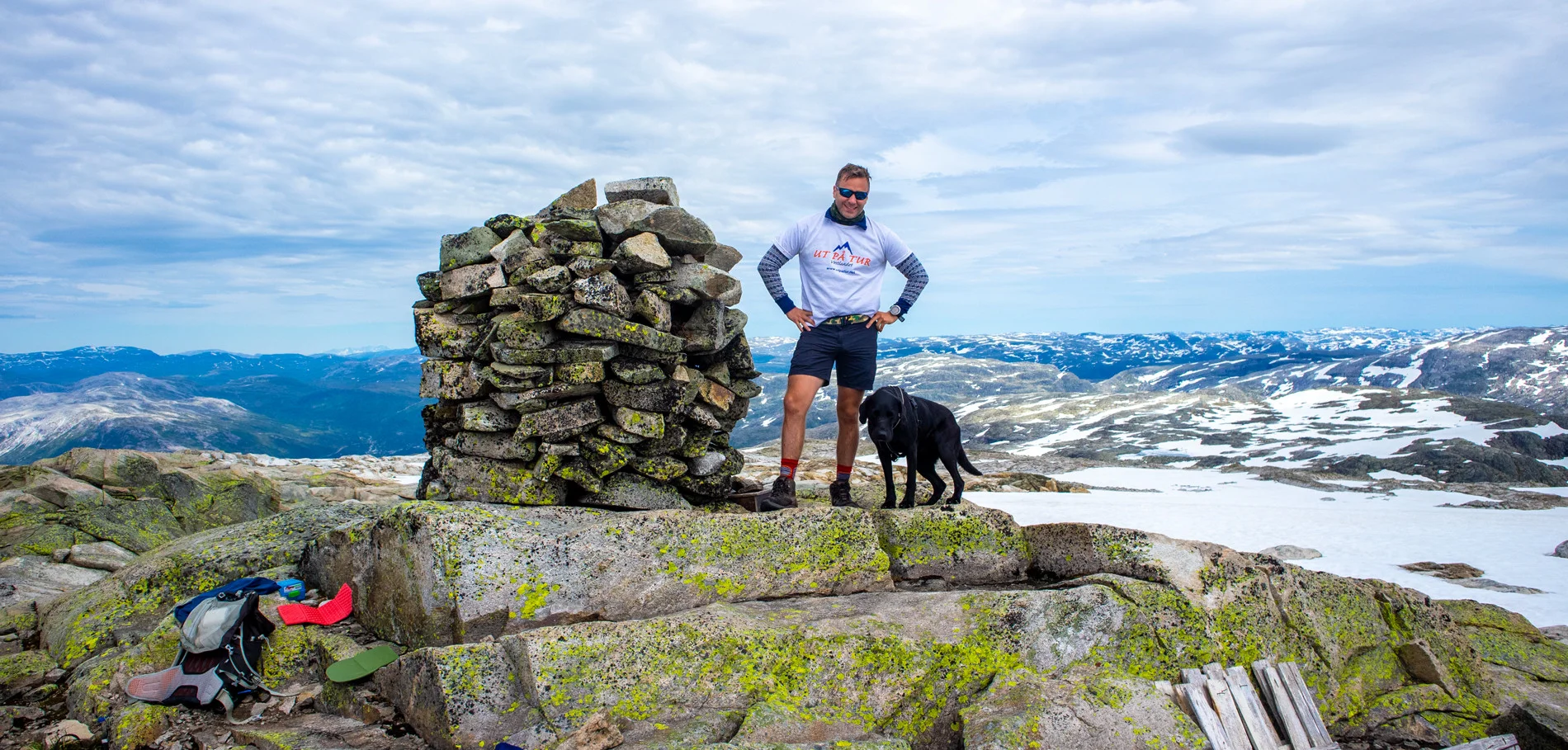
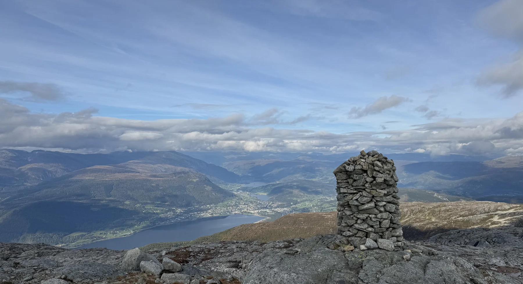
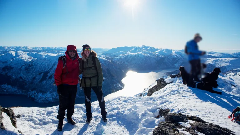
Day 1: Olsskavlen (1576 m) from Raundalen in Voss
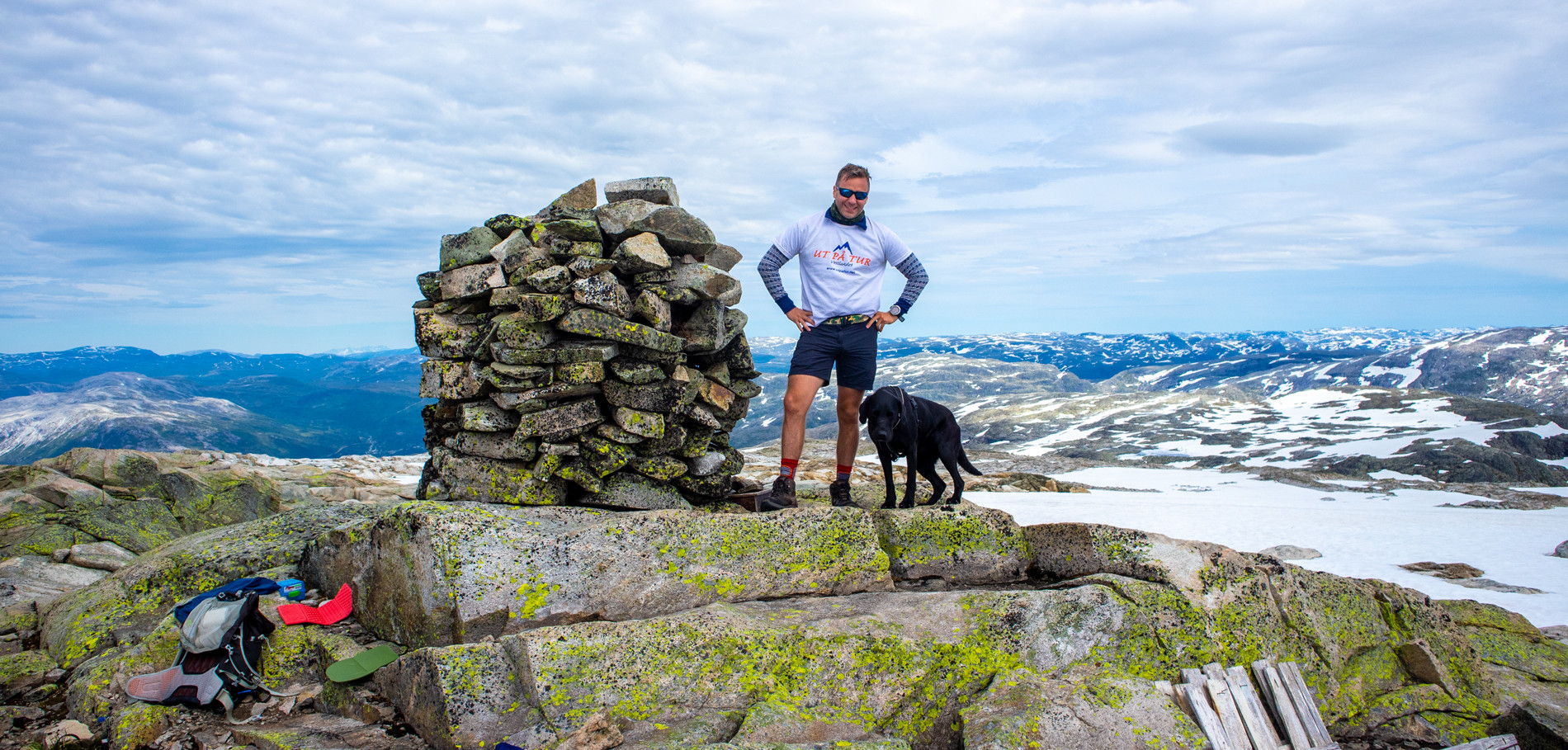
Photo: Chris Almeland
Start the hike in Voss by climbing the municipality's highest mountain. From the main road, go down the hill, cross the railway (close the gate) and over the bridge. Follow a good path through the forest towards Vollbotnen/Vollbotsvatnet with a steady ascent. At two cabins, take off between them and down to the river, over the bridge. The path may be unclear; keep a little left. Above the tree line, follow the cairns in the stone scree via Tungefjellet and further along the ridge towards southeast/south to the summit cairn. Return the same way.
Distance: approx. 14 km (round trip) | Time: approx. 6–7 hours | Grade: Challenging
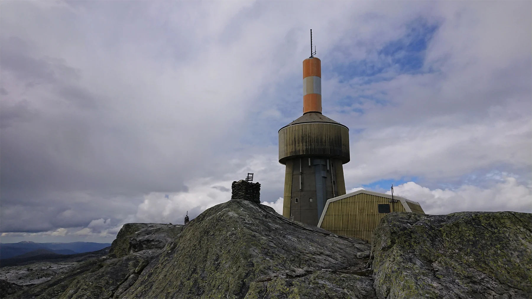
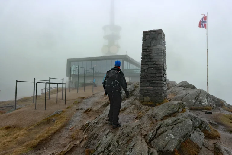
Day 2: Lønahorgi (1412 m) from Hangurstoppen

Photo: Harald Barsnes
Park down by Vossevangen – parking is available at the train station.
Right by the station is the gondola; take it up to Hangurstoppen, where the hike starts. The first part goes on a construction road through the ski area. You follow the road down towards Trodalsstølen (about 200 meters down), and further into the mountain until the construction road ends.
From here, take the T-marked path over. The route passes the Red Cross cabin, crosses Slettafjellet, and continues via Horgaletten and Kvilehytta before the final ascent to the summit. At the summit stands the Lønahorgi main transmitter – a robust, weather-exposed facility that has become a clear landmark over the Vossebygdene.
Distanse: ca. 16 km (tur/retur) | Tid: ca. 5- 7 timer | Gradering: Krevende
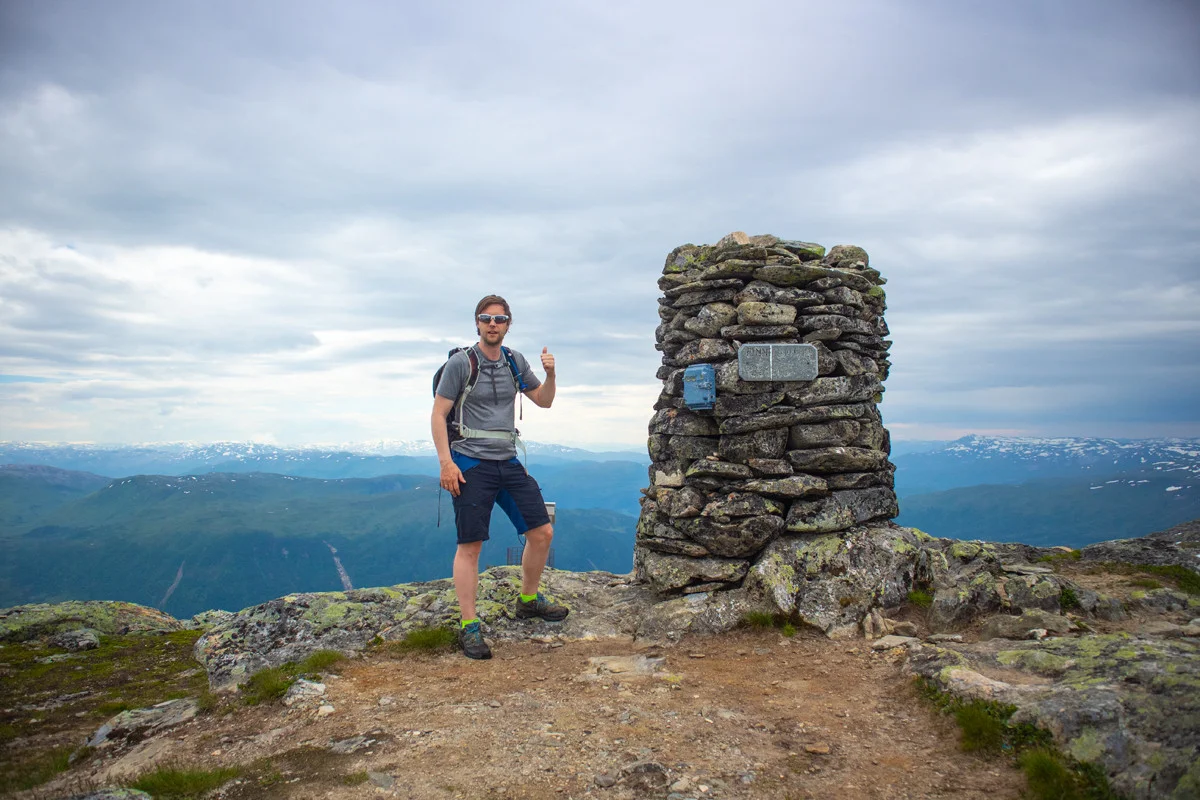
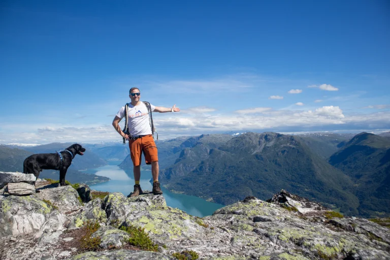
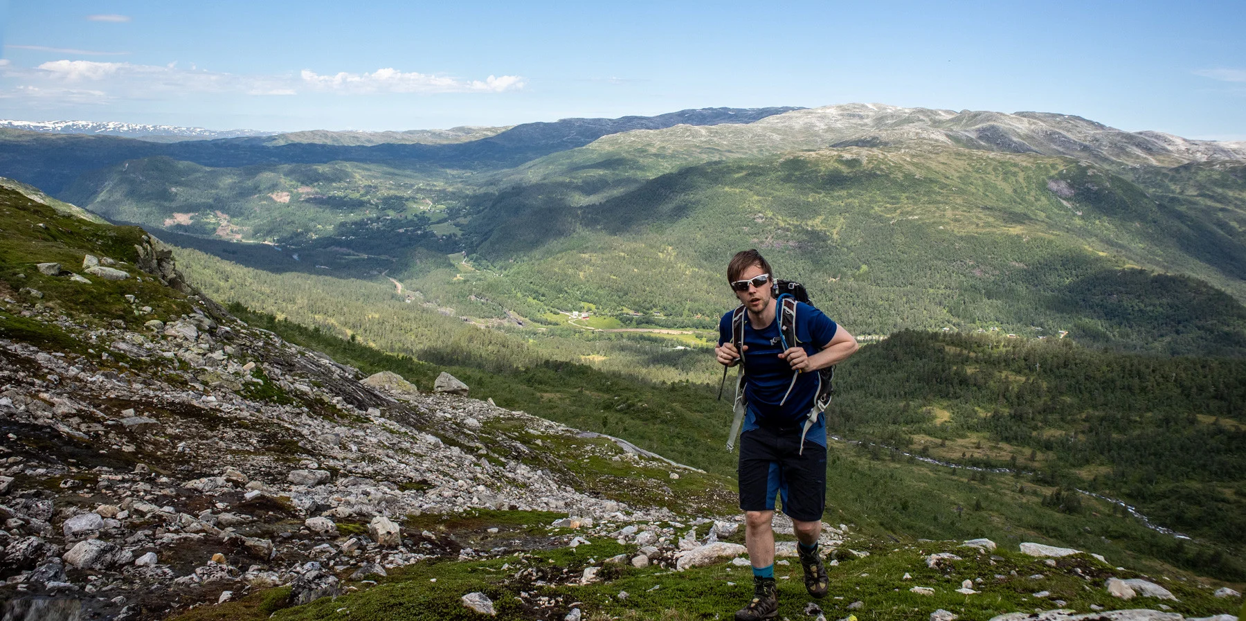
Day 3: Finnbunuten (1358 m) from Vikafjellet
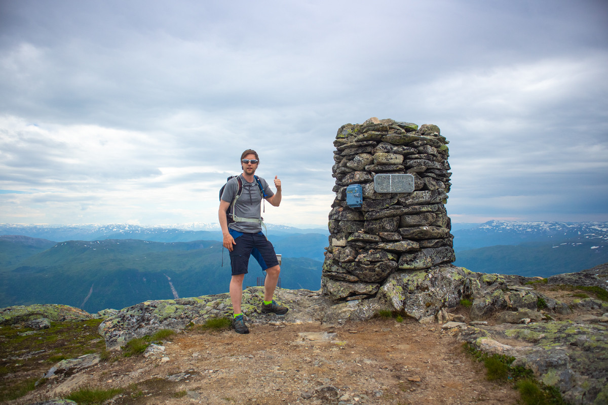
Photo: Chris Almeland
Cross the main road and take the bridge over the river. Follow the path to the cabin at Finnbuene. Continue into the valley and across the river (cross higher up during high water). The path becomes weaker in Finnbugjuvet; ascend the ridge to the left towards the south. Follow the ridge southwest over flat areas and small depressions to the next plateau. Go west between two lakes and onto the red-marked route to the summit. Great views, including towards Jostedalsbreen. Return the same way.
Distanse: ca. 8 km (tur/retur) | Tid: ca. 4 timer | Gradering: Middels
Day 4: Kvitanosi (1433 m) from Voladammen
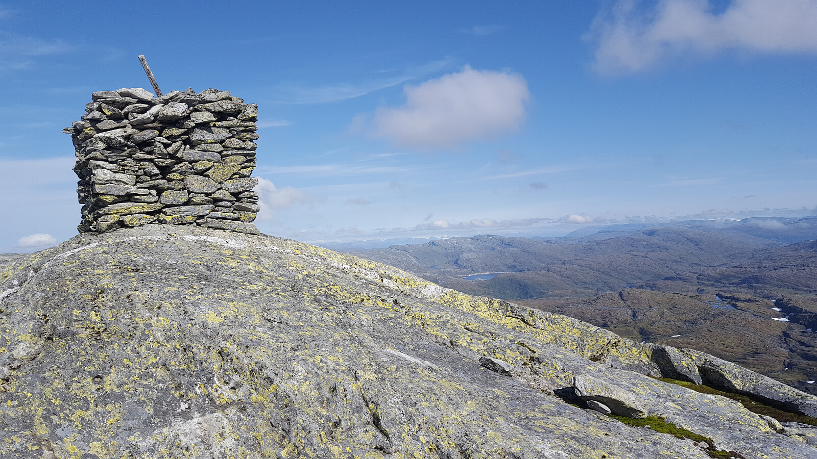
Photo: Johan Solberg
Kvitanosi (1433 m) is the highest mountain in Stølsheimen and offers a varied and exciting hike from Store Volavatnet.
From Evanger, follow the road towards Store Volavatnet (about 25 km) and start at the dam. The hike goes in bare high mountain terrain, often with patches of snow well into summer. Along the way, you pass the wreck of a British military plane that crashed here in 1942 – a poignant cultural heritage site with visible wreckage scattered in the terrain. The summit offers magnificent views towards Vossefjella, Hardanger, and Sognefjorden. This is a hike that combines raw western nature with dramatic history.
Distance: approx. 12 km (round trip) | Time: approx. 5-6 hours | Grade: Challenging
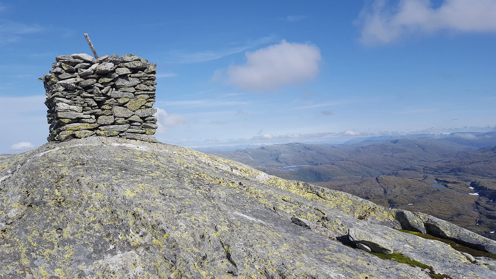
Day 5: Gråsidetoppen (1307 m above sea level) at Voss
 Photo: Stig Guntveit
The trip to Gråsidetoppen is a perfect conclusion to the Voss tour. The road up is challenging with almost 1000 meters of elevation gain. The view that awaits you at the top makes the effort well worth it. From the parking lot at Gjelle to the top, it is about 6.5 km. The path is easy to follow, thanks to the T-marked trails from Voss Utferdslag. Along the way, you will pass Rosethytta, where you can already enjoy a fantastic view down to Vossevangen. Continue upwards to Sandfjellet and Pili, where the path splits. One way leads you to Gråsidetoppen, whichrises 1307 meters above sea level.
Distance: approx. 13.5 km (round trip) | Time: approx. 5–7 hours | Grading: Challenging
Tips before you go
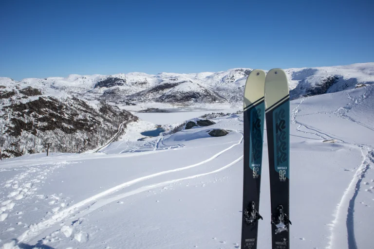
- Check the weather forecast and snow conditions at altitude; snow can linger for a long time.
- Bring wind-/rainproof outerwear, a hat, and gloves even in July.
- Good hiking boots and a backpack weighing 8–12 kg provide the best flow.
- Download maps and tracks; mobile coverage can be uneven.
- Start early on the longest days (Kvitanosi/Olsskavlen).
- Respect nature and grazing animals; close gates and follow markings.
Keywords: Hiking tips in Voss, accommodation in Voss, mountain hikes Voss, summer hikes Voss.