The GPX Track is for guidance only and may contain errors. Use at your own risk.
– always check maps, weather and conditions before your trip.
Brakstadfjellet is located approximately halfway on Holsnøy in the old municipality of Meland.
Start by following the gravel road that starts right Next to the parking lot (same side of the road). Follow the road about 1 km inland and up the slopes. Here you will come to a building where you should turn left. Now the road turns into a path. Then follow the path up to the top of the mountain. First the path goes north-west, and when you come to a crossroads, turn left and follow it to the top.
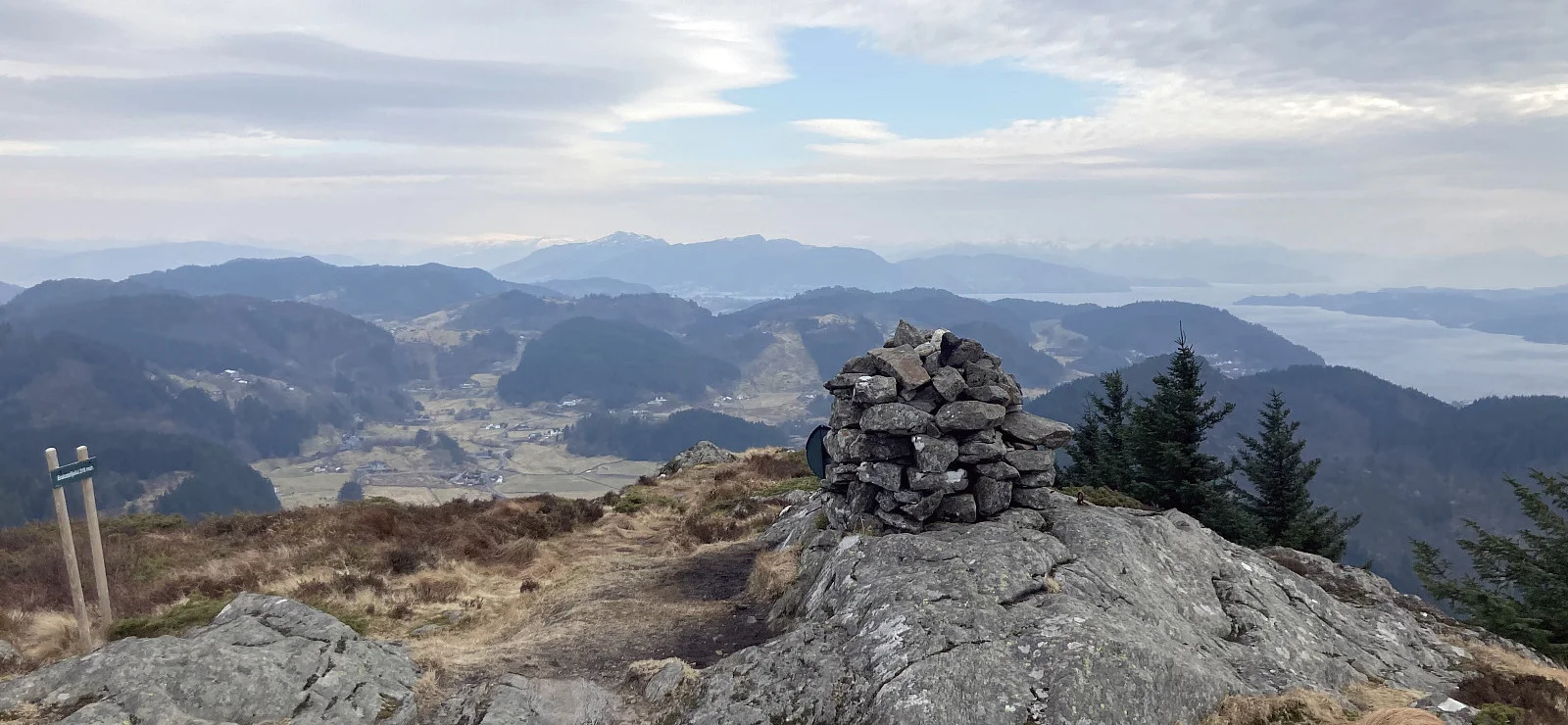
At the top is a large installation. Walk a little further to the cairn. Enjoy the view of Holsnøy and towards Herdla on Askøy.
Return the same way.