Hike to Kaldestadåsen (271 m) from Husnes
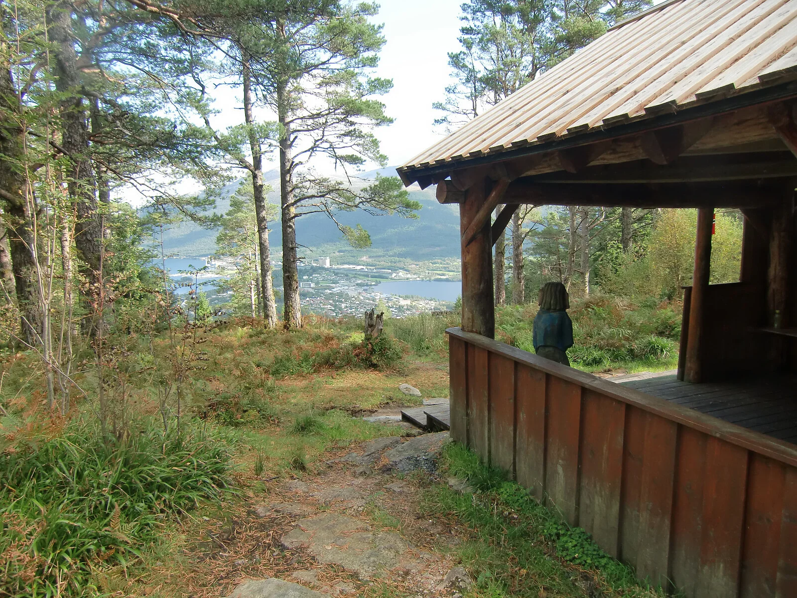
Photo: Kjell Øijorden
Information
Length: Approximately 3.9 km round trip
Time: Approximately 2 hours round trip
Elevation gain: 315 meters
Season: All year round
Time: Approximately 2 hours round trip
Elevation gain: 315 meters
Season: All year round

Processing elevation data.. .
You use GPX files that you download from our server 100% at your own risk.
Accommodation nearby


Hiking nearby

Distance
4.02 Km


Distance
5.44 Km

Distance
5.93 Km

Mountain hike to Kongshaug (229 m above sea level) on the island of Skorpo - Tysnes, Vestland
Premium
Distance
7.96 Km


Mountain hike to Ulvanosa, Geitadalstind (1210 m) and Høgetinden (1248 m) - Kvinnherad, Vestland
Premium
Distance
11.97 Km


