The GPX Track is for guidance only and may contain errors. Use at your own risk.
– always check maps, weather and conditions before your trip.
Access
Parking
Description
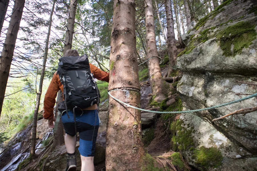
This is the steepest route to Slogen. The hike begins up through the forest.
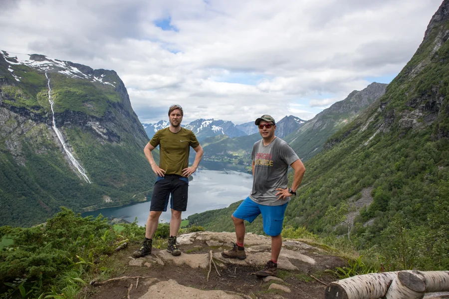
There is a good path all the way, but wear good shoes because it can be slippery. There are several great viewpoints on the way up. It is possible to fill up with water at approx. 600 m. in a stream.
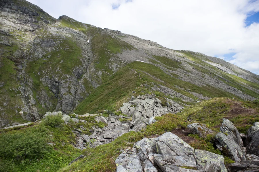
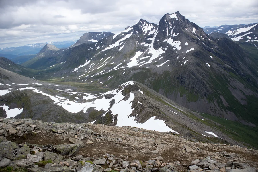
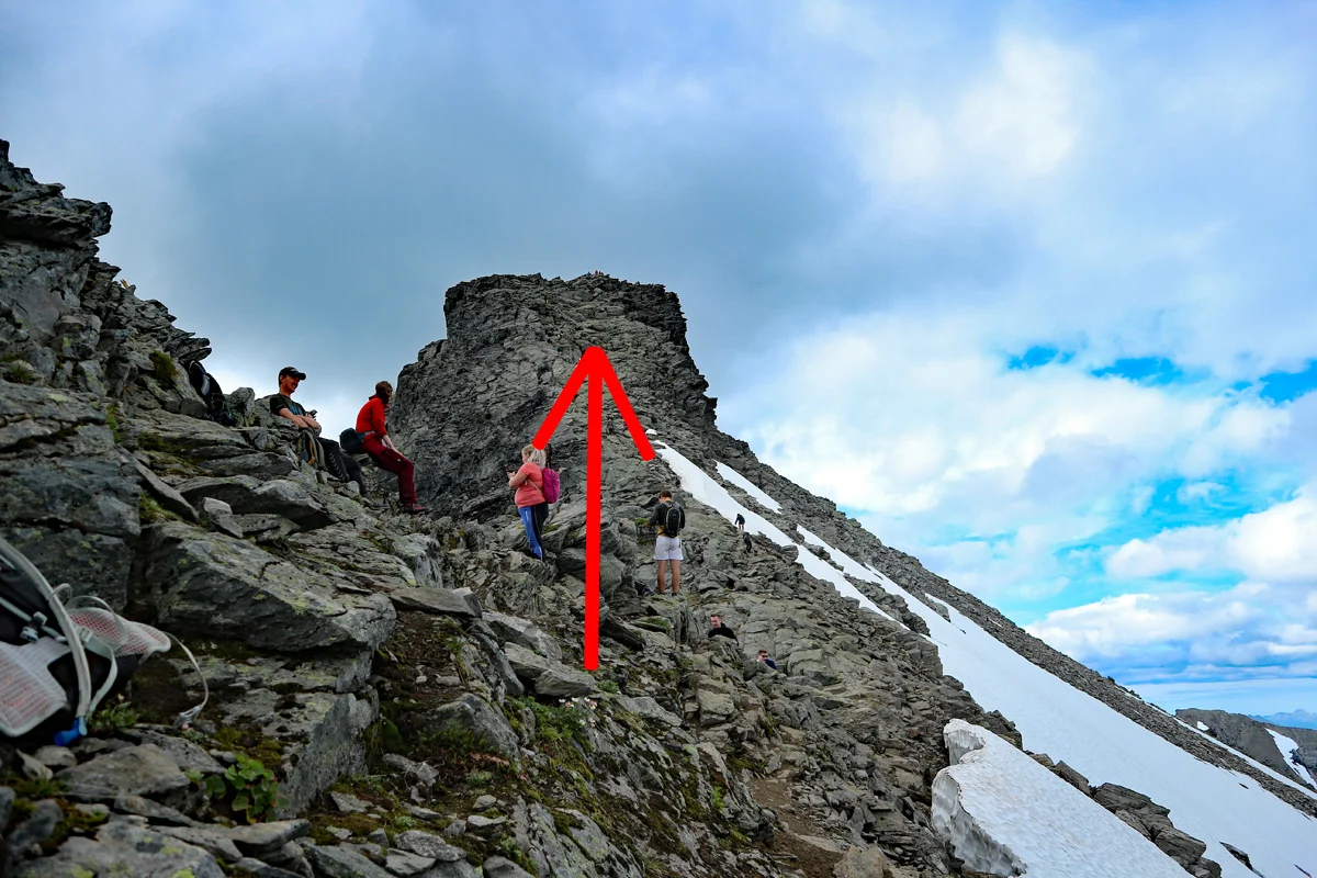
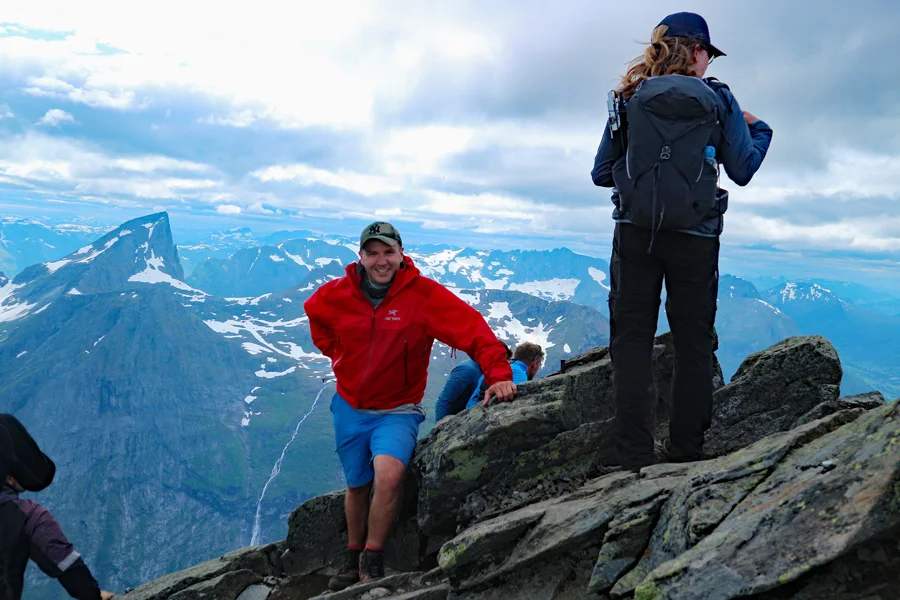
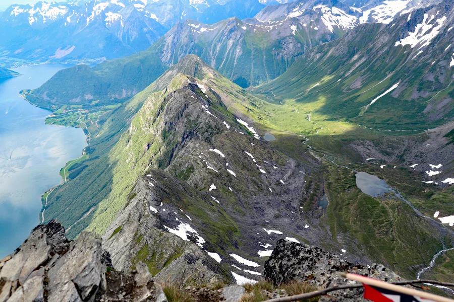
When you get above the tree line, the climb becomes gentler. Then there is a steep zigzag path up to 1100 m. Here there is a mountain plateau where you meet the Patchell hut. The path continues up along the mountain ridge and it becomes more airy. The last part is the airiest and light scrambling is necessary. You should not continue here if you are afraid of heights.
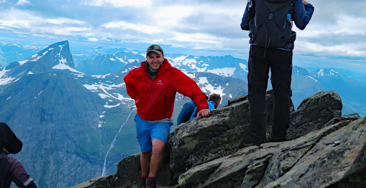
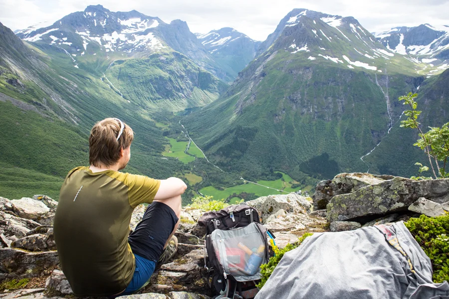
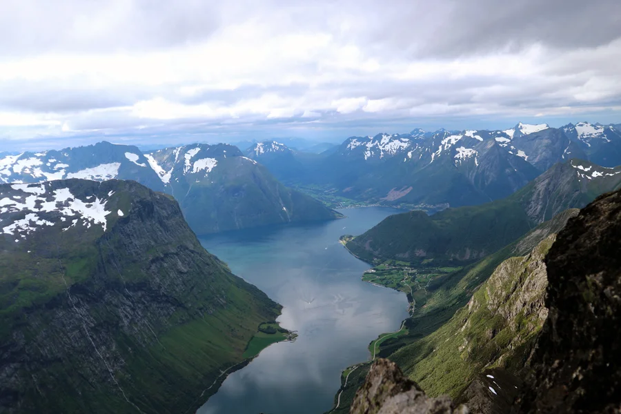
At the top you get a nice view of the Hjørundfjord that will blow most people away. The plateau is not very large so there is limited space.
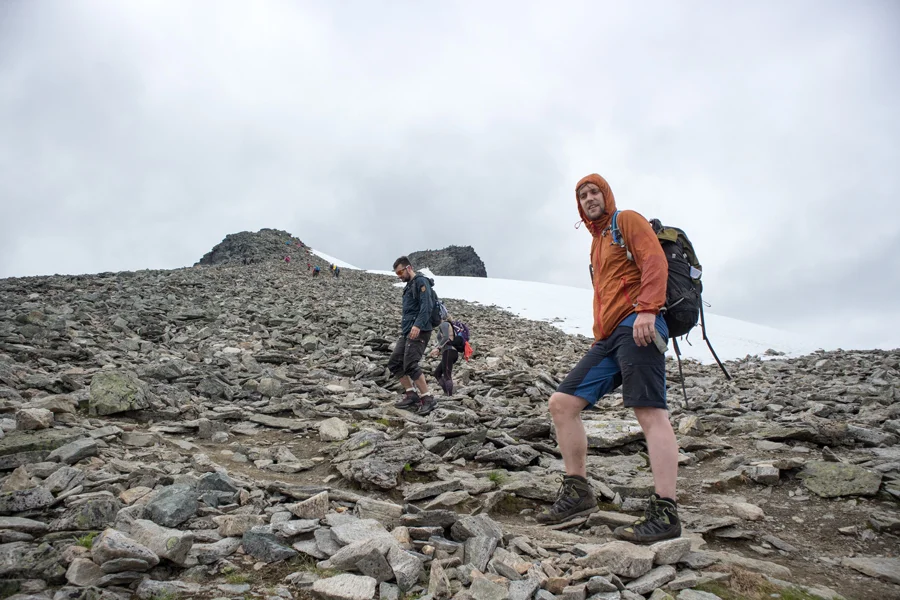
This route to the top is tough so I recommend that you are used to mountains and have good knees for the descent. I would say it is harder than the hike to Skålatårnet (1843 m.)
Have a good trip!
Information
Length round trip approximately 7 km.
Time: approximately 6-8 hours.
Season: Summer/early fall