
Mountain hike to Signalen (231 m above sea level) on Varlderøya
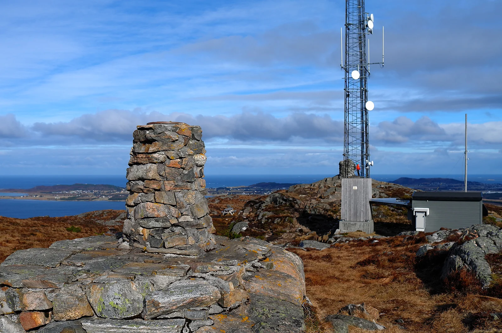
Fjelltur til Signalen (231 moh) på Varlderøya
Photo: Otto Lund

The GPX Track is for guidance only and may contain errors. Use at your own risk.
– always check maps, weather and conditions before your trip.

Access

Approximately 20 minutes (16.3 km) drive from Ålesund.

Parking

The parking lot at Kolvikparken. If this is full, you can park at the school (outside opening hours) and at the church.  

Description

Short hike to the highest point on Valderøya. It takes you about half an hour to reach the top. Up here is a large cairn and mast. There are views in all directions: Godøya, Hareidlandet, Ålesund, Ellingsøya, Sunnmørsalpane, Gamlemsveten, Nordøyane and Vigra.

Information

Length: 2.4 km round trip
Length: Approximately 1 hour round trip
Elevation gain: 171 meters
Season: All year round
Grading: Simple

Processing elevation data.. .

You use GPX files that you download from our server 100% at your own risk.

Accommodation nearby

Hiking nearby