Mountain hike to Molnesfjellet (122 m above sea level) on the island of Vigra
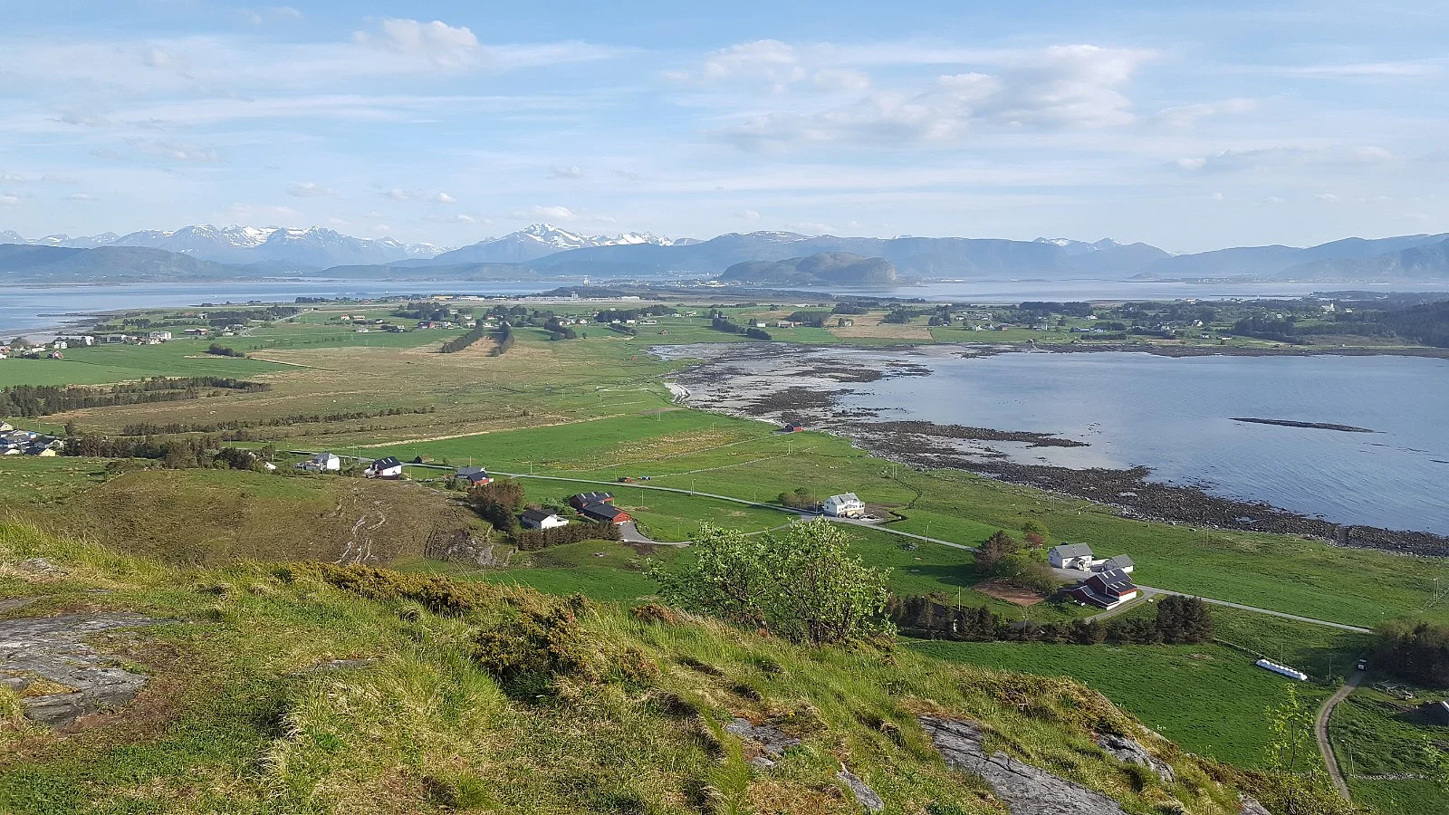
Photo: Agnar Åsnes
Information
Length: Approximately 3.5 km round trip
Time: Approximately 1 hour round trip
Elevation gain: 133 meters
Season: All year round
Time: Approximately 1 hour round trip
Elevation gain: 133 meters
Season: All year round

Processing elevation data.. .
You use GPX files that you download from our server 100% at your own risk.
Accommodation nearby


Hiking nearby

Distance
8 Km


Distance
12.95 Km


Distance
13.17 Km

Distance
14.1 Km


