The GPX Track is for guidance only and may contain errors. Use at your own risk.
– always check maps, weather and conditions before your trip.
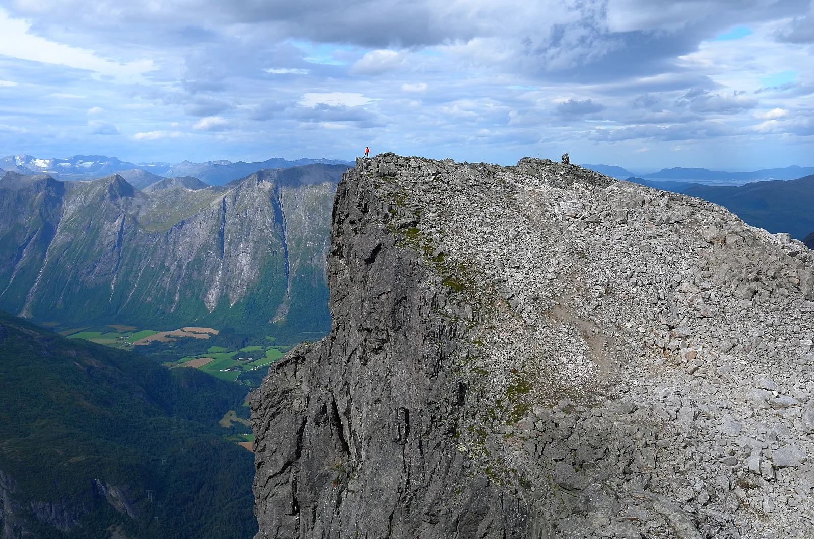
Romsdalseggen is known for its airy trail and stunning views over Romsdalen. The hike follows a narrow ridge with steep cliffs on both sides, and is suitable for experienced hikers or those with good mountain experience. On a clear day, you can see iconic mountain peaks such as Romsdalshorn, Trollveggen and Vengetindene, as well as the fjord and valley far below.
The hike starts with a steep climb from Vengedalen up to the edge. After the first ascent, the terrain flattens out somewhat, but along the way you have to cross narrow and airy sections. In some places, chains have been set up for extra safety. The view along the way is spectacular, with Romsdalen's dramatic mountain formations on all sides.
As you approach Nesaksla, the descent towards Åndalsnes begins. Here you can choose to go down via Romsdalstrappa or take the Romsdalsgondola for a more gentle end to the trip.