The GPX Track is for guidance only and may contain errors. Use at your own risk.
– always check maps, weather and conditions before your trip.
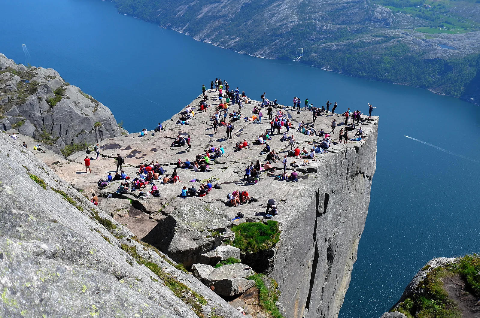
Preikestolen is one of Norway's most iconic mountain hikes and offers spectacular views of the Lysefjord. The hike is of medium difficulty and is suitable for most people with normal physical fitness. The plateau, which is located 604 meters above the fjord, provides an unforgettable nature experience.
The hike starts from Preikestolen Mountain Lodge, which is about a 40-minute drive from Stavanger. There is parking, a café and accommodation available.
The trail begins with a steady climb through forest terrain and stone steps, before opening up to a more hilly mountain landscape. Along the way, you pass small lakes and open areas with great views. The last part of the hike goes over a wide mountain shelf before you finally reach Preikestolen itself, a flat mountain plateau that plunges straight down into the Lysefjord. Here you can enjoy the impressive view and take a well-deserved break.