
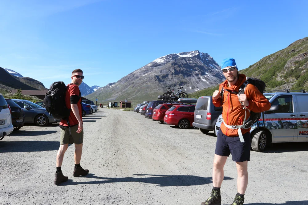
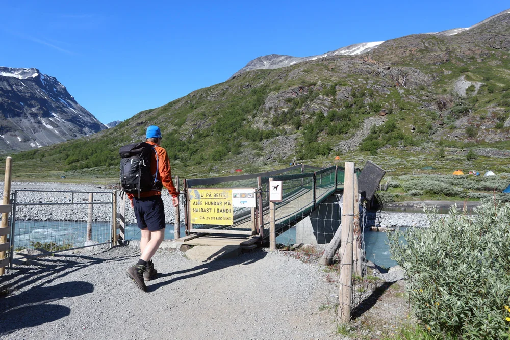
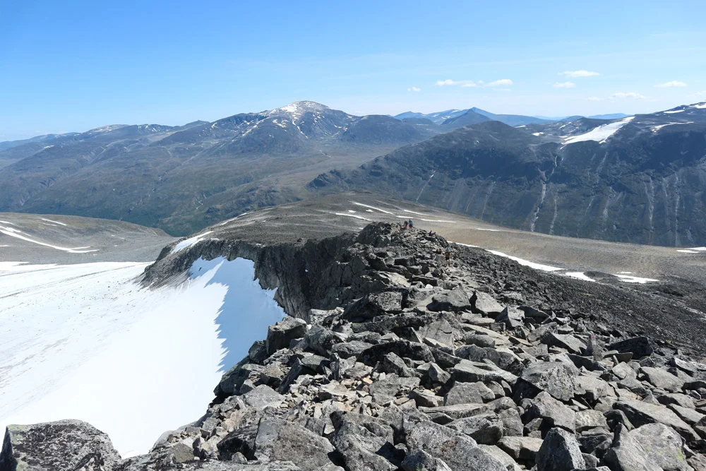
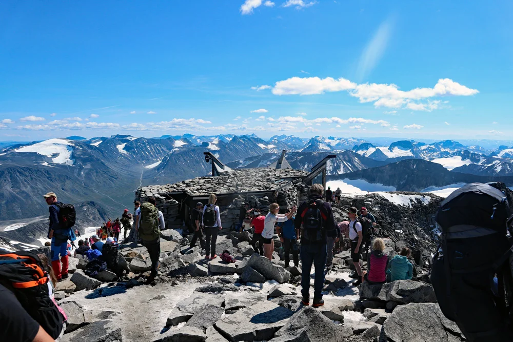
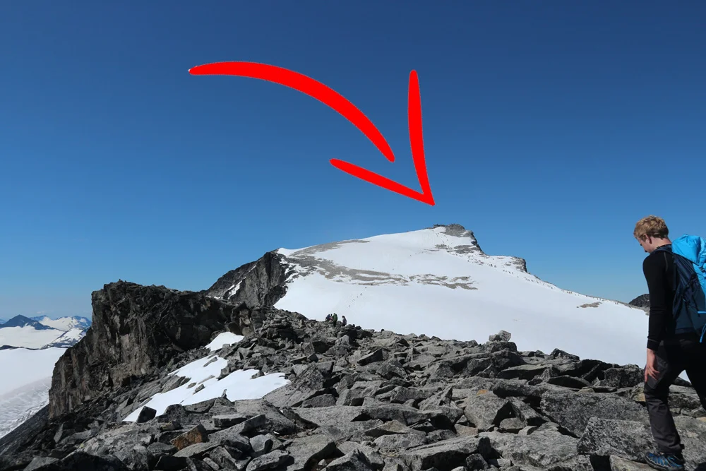
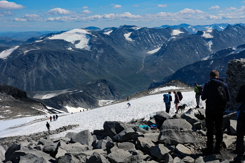
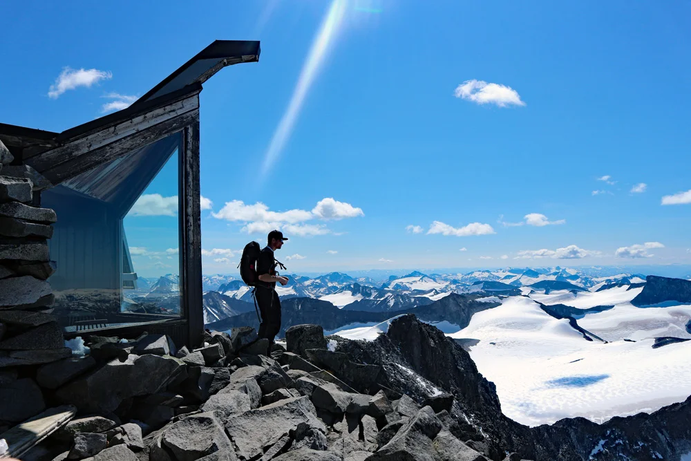
Galdhøpiggen (2469 m) from Spiterstulen
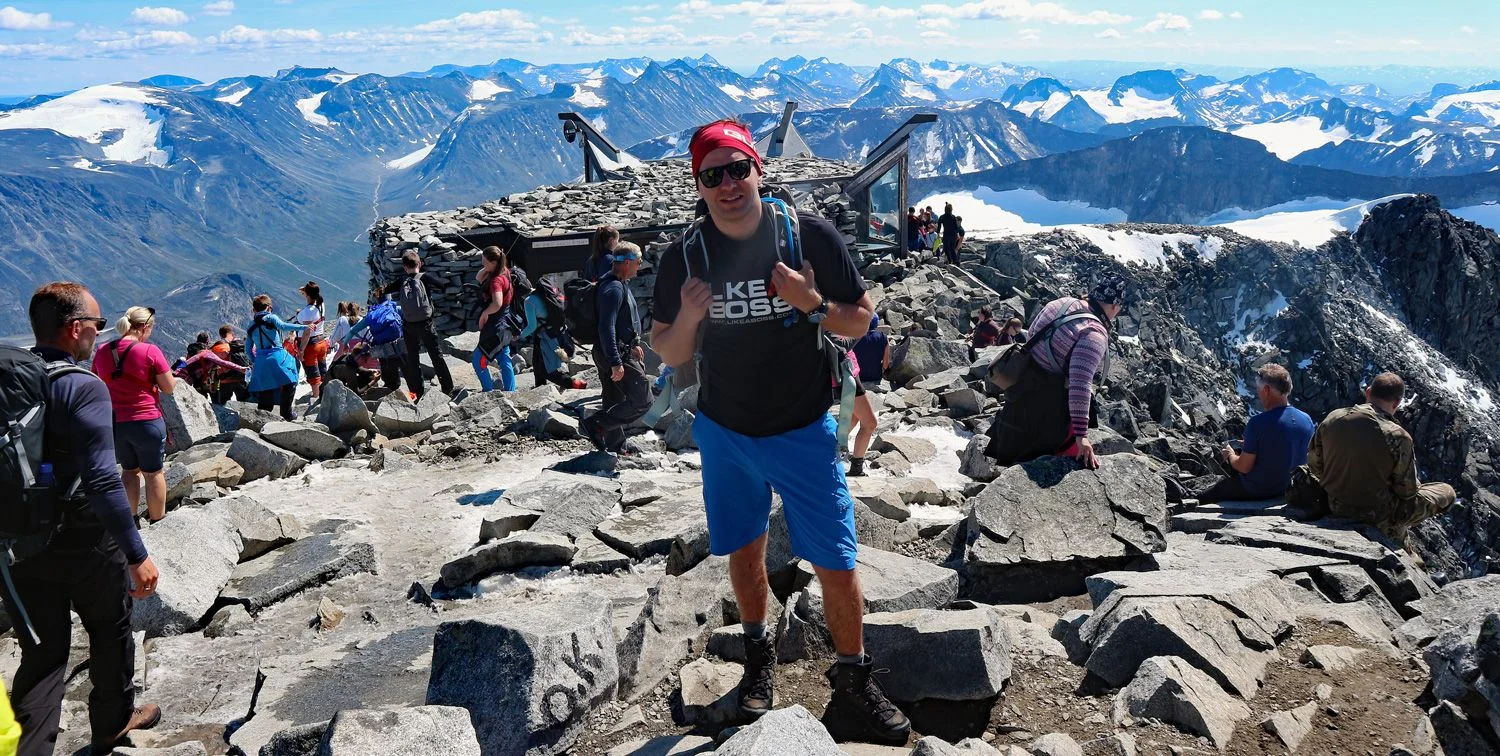
Galdhøpiggen (2469 moh) fra Spiterstulen
Photo: Chris A.

The GPX Track is for guidance only and may contain errors. Use at your own risk.
– always check maps, weather and conditions before your trip.

Access

Approx. 7 hours 40 minutes (450 km) drive from Bergen.
Approx. 5 h 15 min (381 km) drive from Oslo

Parking

Parking for a fee at Spiterstulen.

Description

Galdhøpiggen is located in Jotunheimen National Park and is Norway's highest mountain, at 2,469 meters above sea level. The mountain is one of Norway's most popular hiking destinations.

From the top of Galdhøpiggen you have a fantastic panoramic view of Jotunheimen's many 2000-meter peaks. On clear days you can see all the way to Rondane, Dovrefjell and Jostedalsbreen. At the top you will also find a stone hut, which is used as a restaurant during the summer season. This route from Spiterstulen (1100 m) and goes steeply uphill in rocky and snowy terrain with an elevation gain of almost 1400 meters and takes from 6-9 hours round trip. If you want a shorter route you can walk from Juvasshytta, but then you have to cross Styggebreen, a glacier that requires a glacier walk with a guide.

Information

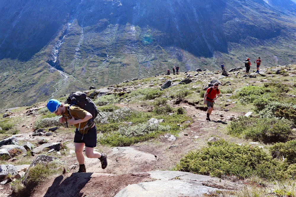
Length round trip approximately 12 km.
Time: approximately 6-8 hours.
Elevation gain: 1400 meters
Season: Summer.
Grading: Demanding

Processing elevation data.. .

You use GPX files that you download from our server 100% at your own risk.