
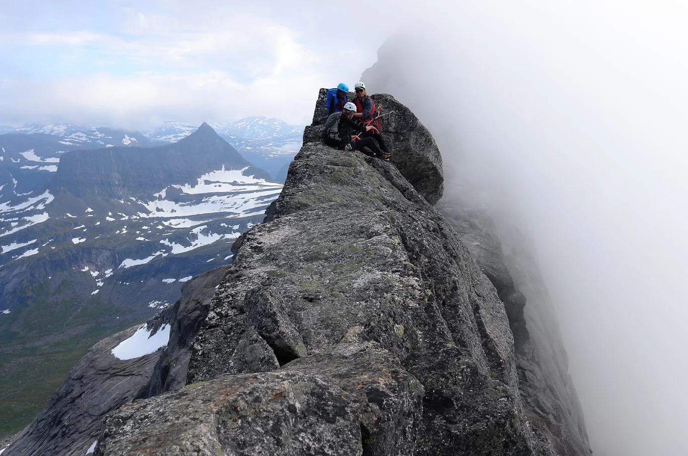
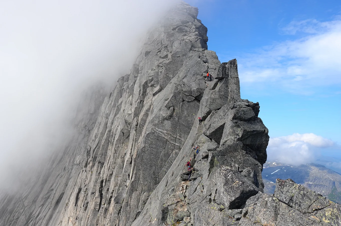
Mountain hike to Stetind (1391 m) - Norway's national mountain
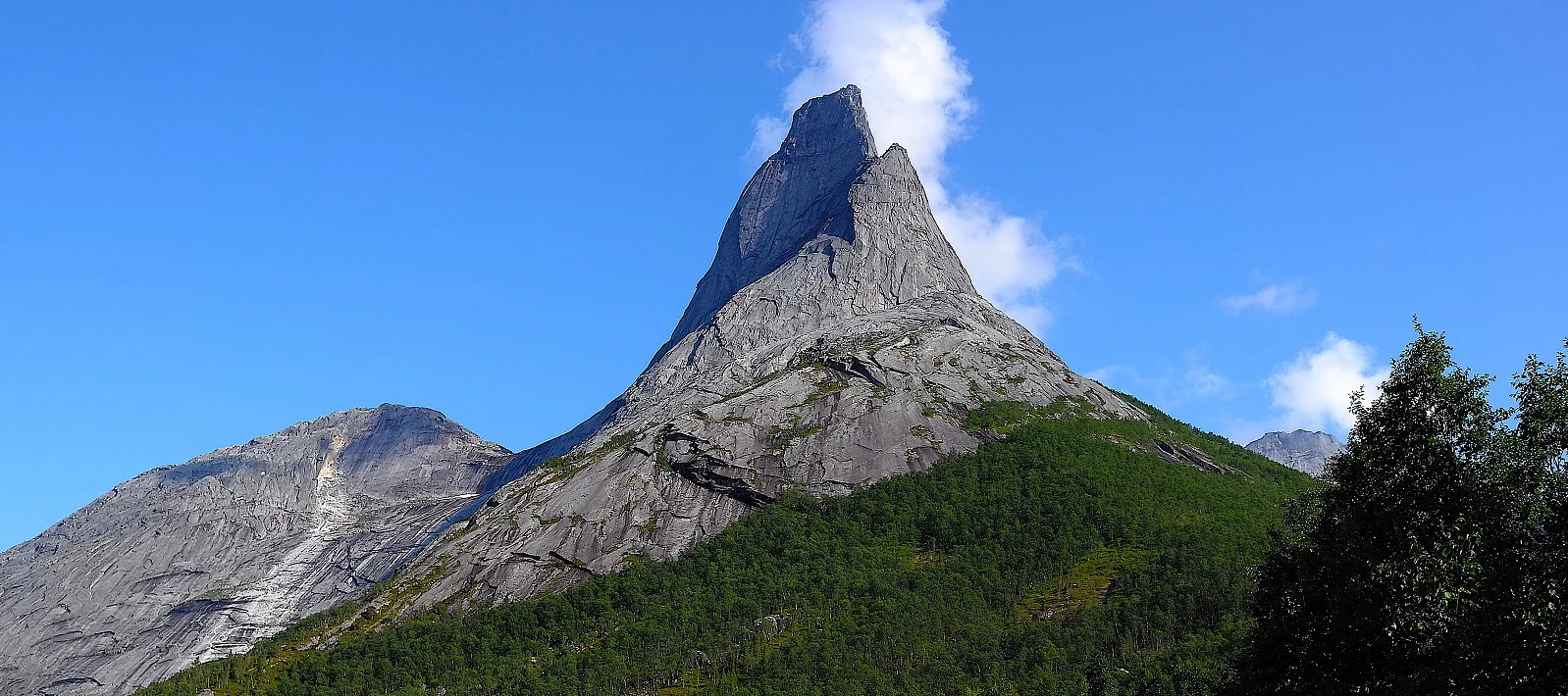
Fjelltur til Stetind (1391 moh) - Norges nasjonalfjell
Photo: Otto Lund

The GPX Track is for guidance only and may contain errors. Use at your own risk.
– always check maps, weather and conditions before your trip.

Access

Approximately 1 hour 15 minutes (80.5 km) drive from Narvik.

Parking

Large parking lot along the road.

Description

Stetind, also known as Norway's national mountain, is a spectacular mountain hike for experienced climbers and mountain enthusiasts.

With its characteristic needle-shaped peak and steep mountain sides, Stetind offers an airy and challenging climb. The hike requires both good physical fitness and climbing experience, especially on the final sections towards the summit.

From the parking lot, follow the trail through light forest terrain before reaching the steeper climb to Halls Fortopp (1314 m). From here, the route becomes more demanding with airy clefts and exposed sections. The final stretch to the summit requires belaying and climbing equipment, as you have to climb the famous 'Finger traverse' – a narrow and exposed ridge.

At the top you are rewarded with one of Norway's most impressive views, where you can gaze out over fjords, mountains and sea as far as the eye can see.

Information

Rating: Extra Demanding

Processing elevation data.. .

You use GPX files that you download from our server 100% at your own risk.

Accommodation nearby

Hiking nearby

No entries were found