The GPX Track is for guidance only and may contain errors. Use at your own risk.
– always check maps, weather and conditions before your trip.
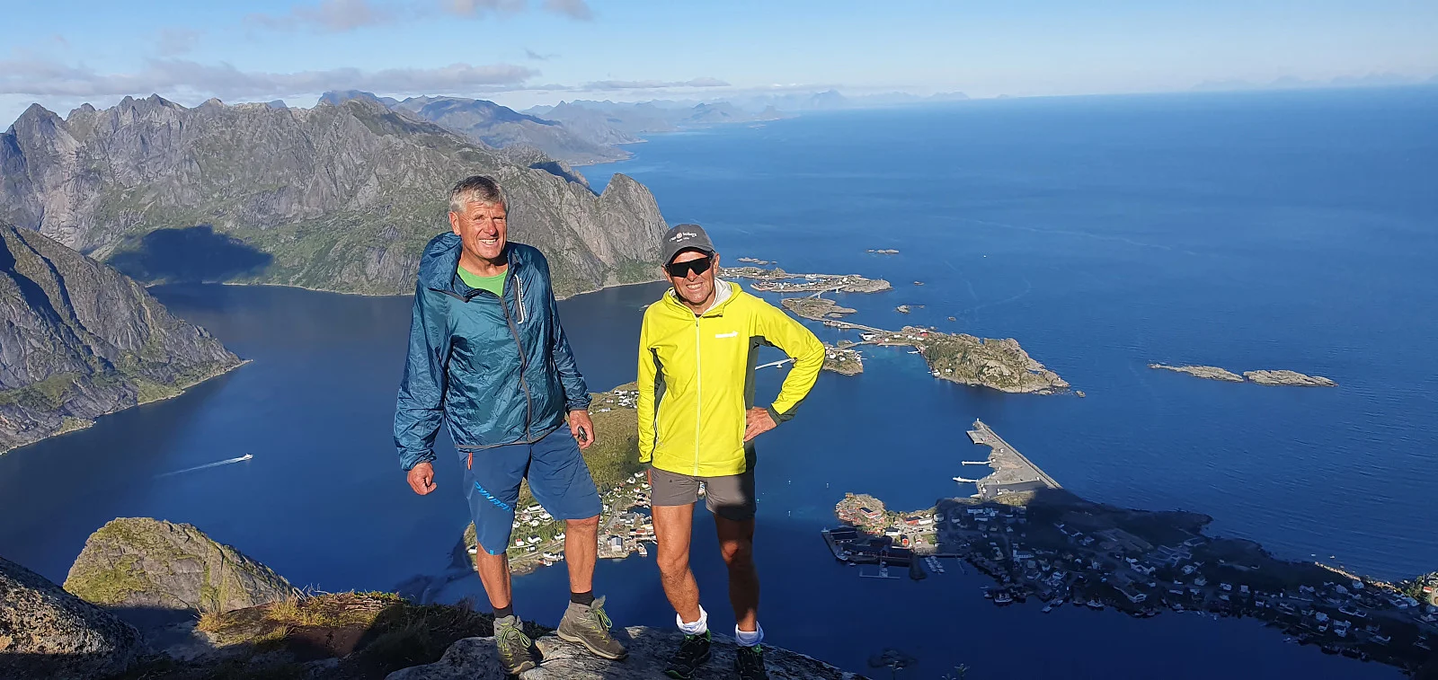
One of the most popular mountain hikes in Lofoten. At the top you get spectacular views of the Reinefjord, the mountains and islands in the area. Although the hike is relatively short, it is steep and demanding, but the reward at the top is one of the most iconic views in Norway.
The path up to Reinebringen consists mainly of stone steps built by Sherpas to make the hike safer. The path is steep and rises quickly, but the solid steps provide good footing
The hike is best from June to September. Out of season there can be ice and snow, making the trail dangerous.