
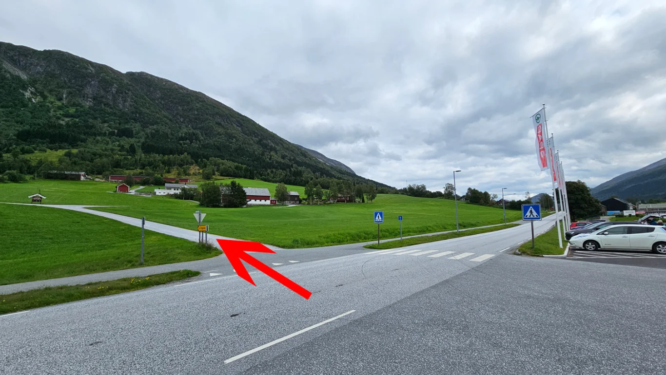
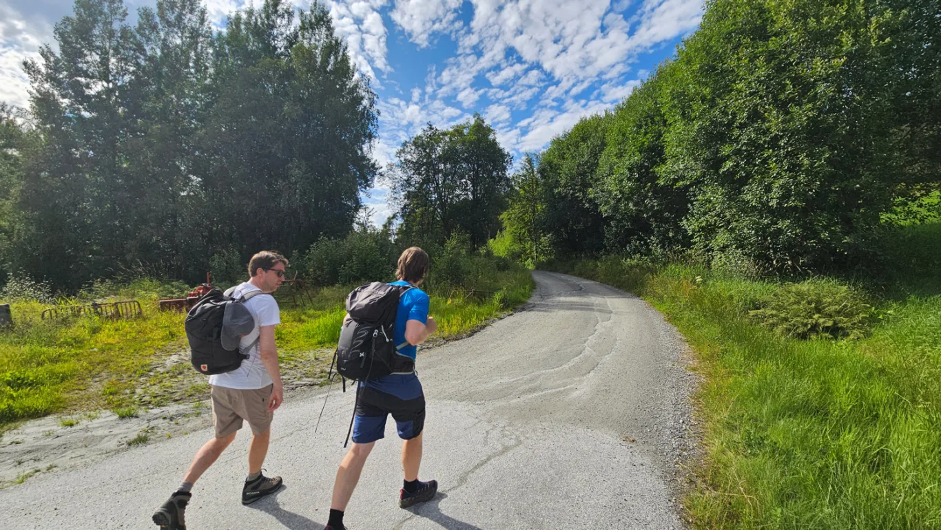
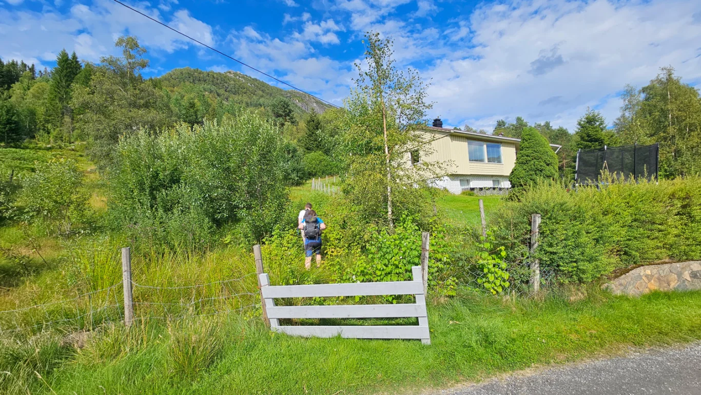
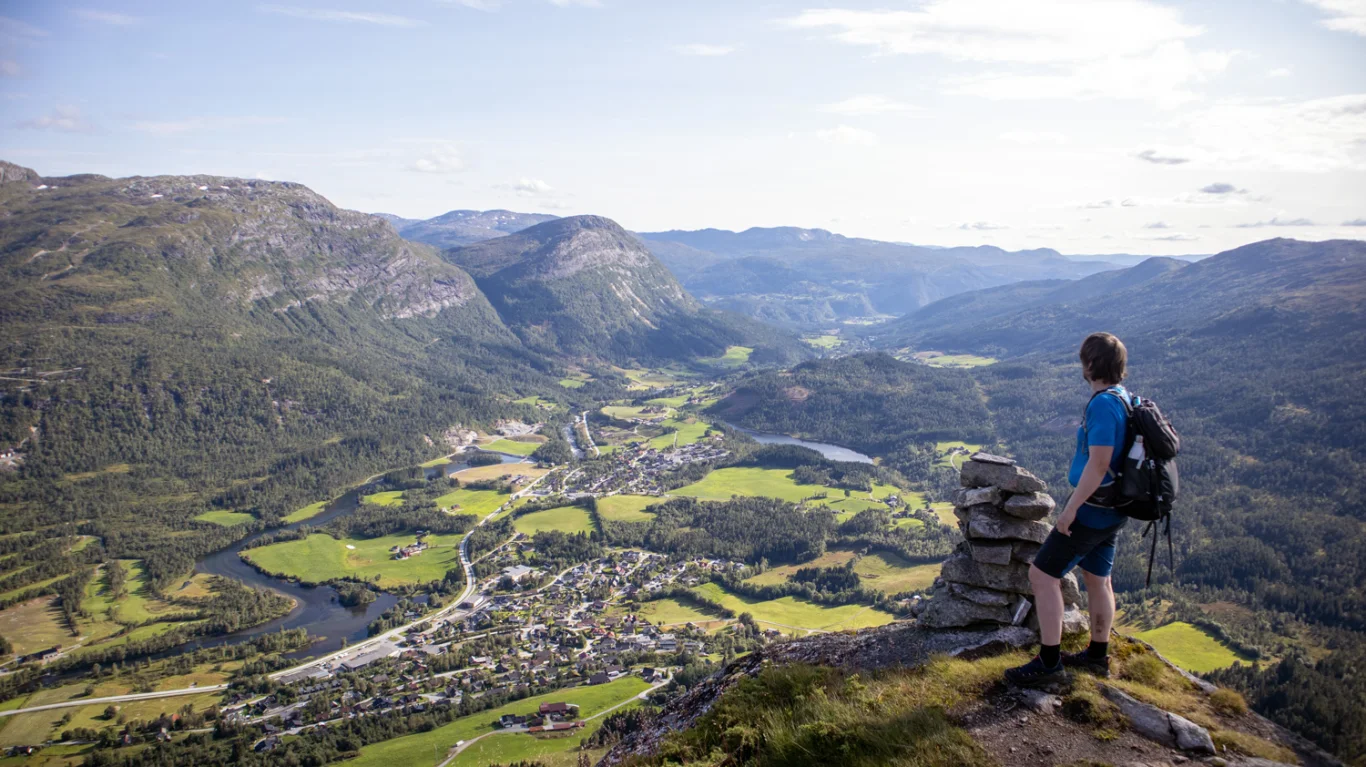
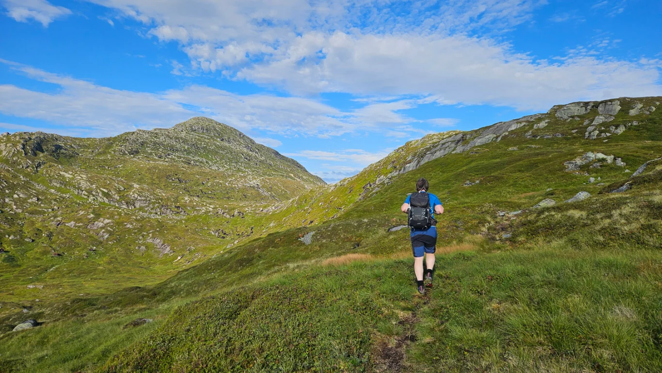
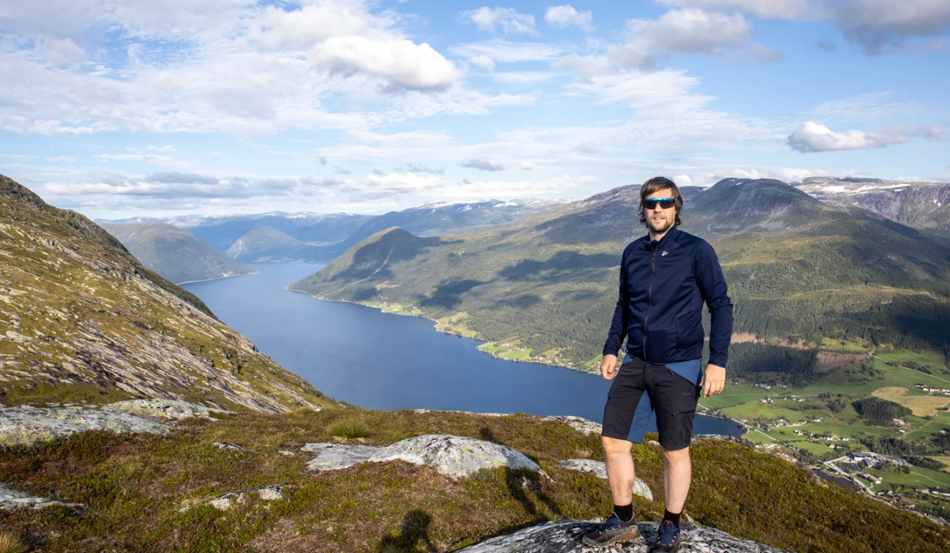
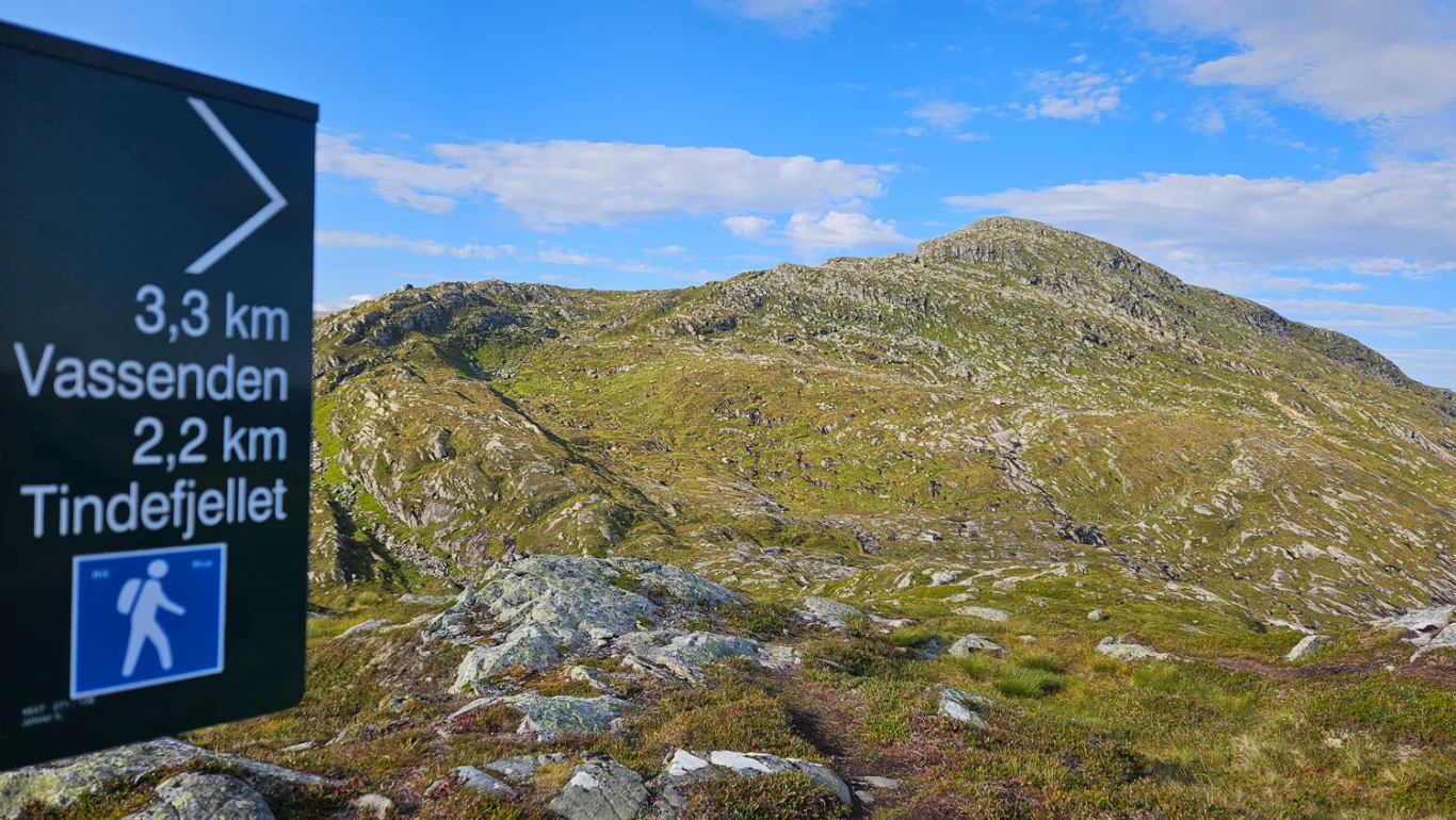
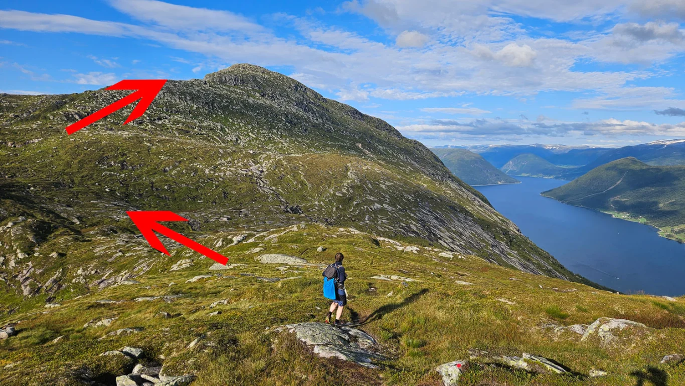
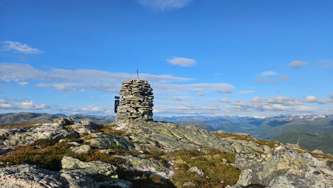
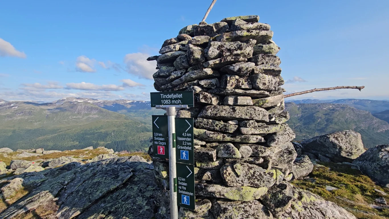
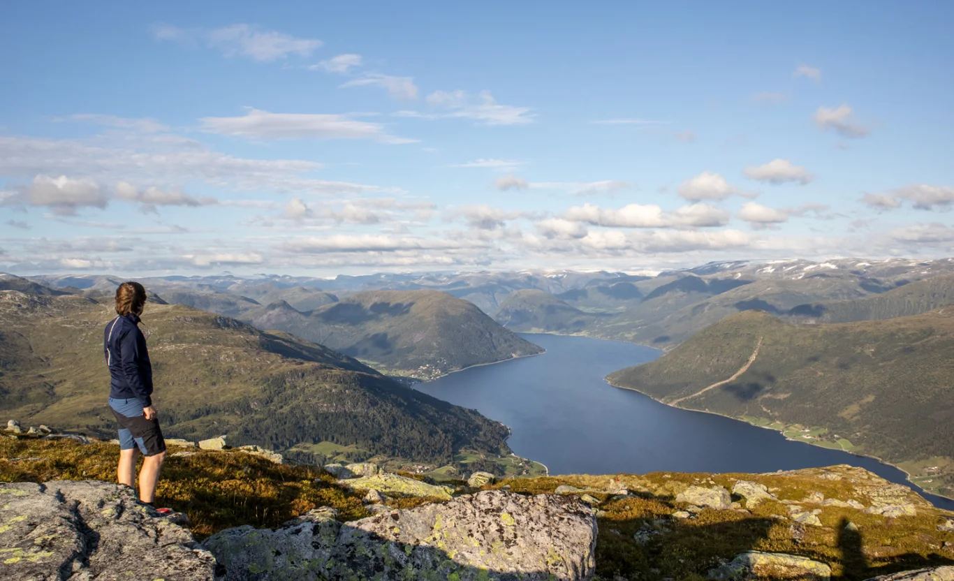
Mountain hike to Gravsfjellet (851 m) and Tindefjellet (1083 m) in Jølster
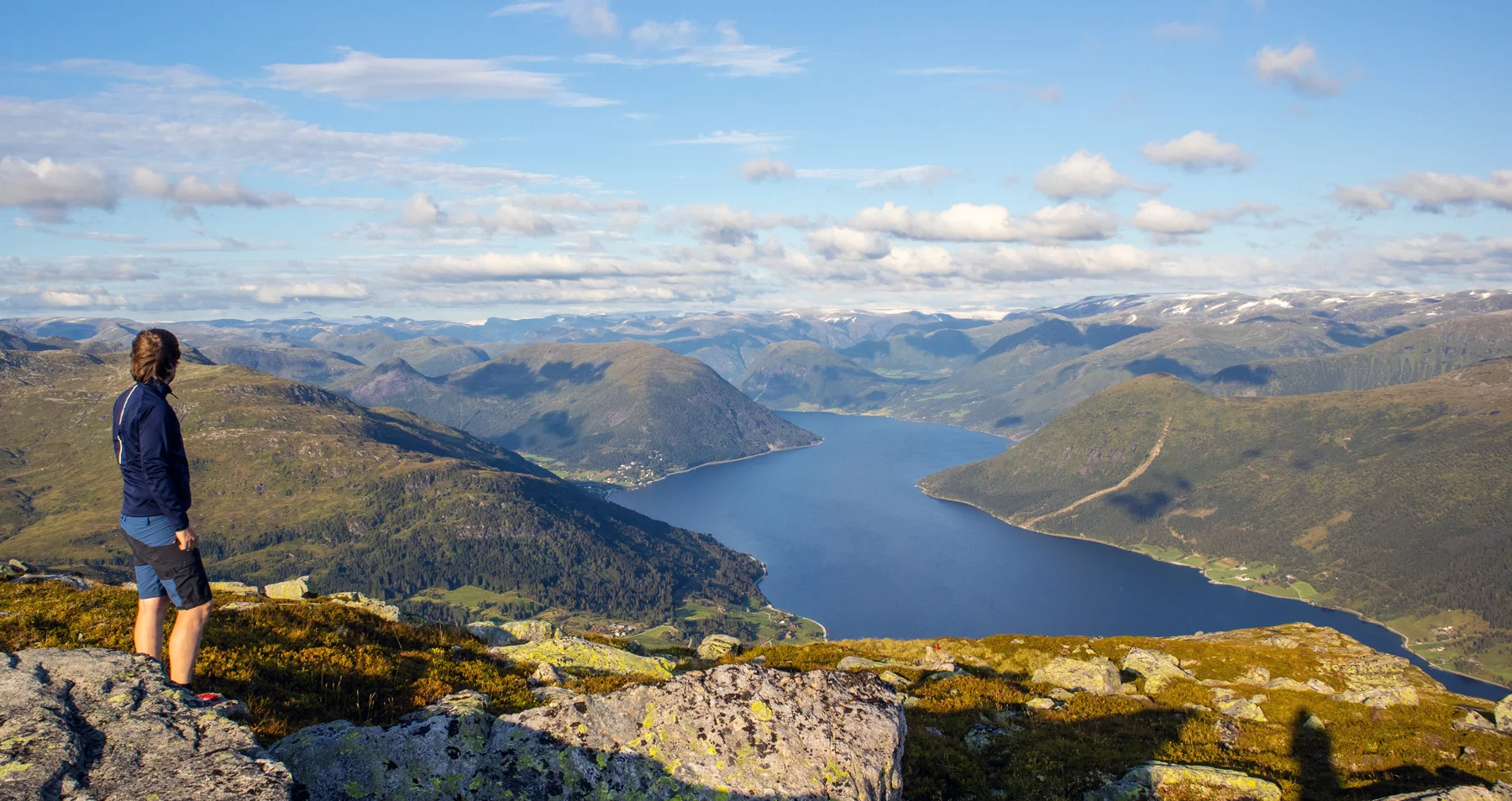
Fjelltur til Gravsfjellet (851 moh) og Tindefjellet (1083moh) i Jølster
Photo: Admin

The GPX Track is for guidance only and may contain errors. Use at your own risk.
– always check maps, weather and conditions before your trip.

Access

Approximately 3 hours 30 minutes (193 km) drive from Bergen.

Parking

Parking nearby Spar store. NOTE: There may be limitations and restrictions on how long you can park here.

Description

This is a mountain hike to a popular peak in Jølster, which is often visited by locals. There are several routes to the top. We chose to start the hike from Spar Vassenden. Here we crossed the main road and followed the road sign 'Flugekvam'. At the mailboxes we turned left and continued on 'Storetrævegen'. Follow this road all the way around the bend. When you see the sign marked 'Spelbu' and a farm, turn left. Now the road turns onto a gravel road. Go to the first crossroads. Here you keep right. Shortly after there is a white-painted gate. Go through this. Then just follow the path up through the forest. The path is marked with red-painted spots on trees and rocks. In some places it is steep, and ropes are posted.

Once you have crossed the tree line and up to Storetrævarden, the view is truly magnificent. From here you continue on the path to Gravsfjellet (851 m above sea level). It is a bit of a climb at first, and then it flattens out more when you reach the mountain plateau. Gravsfjellet has a great cairn and a nice view of Jølstervannet. From here it is approx. 2.2 km to Tindefjellet. Just follow the path down the hill and then up the west side of the mountain.

The peak offers a view to the east over Jølstravatnet and into the mountains towards Jostedalsbreen. You will be hard pressed to find a better view over Jølstervannet. Return the same way.

Information

Length: Approximately 10.2 km round trip
Time: Approximately 5 hours round trip
Elevation gain: 975 m
Season: May - Oct.
Grading: Medium

Processing elevation data.. .

You use GPX files that you download from our server 100% at your own risk.