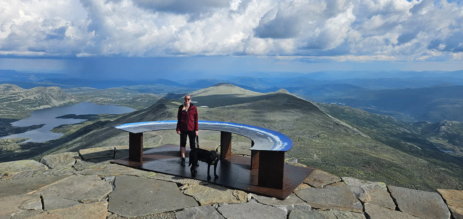
Mountain hike to Gaustatoppen (1883 m)
Fjelltur til Gaustatoppen (1883 moh)
Photo: Chris A.

The GPX Track is for guidance only and may contain errors. Use at your own risk.
– always check maps, weather and conditions before your trip.

Access

Approx. 2 h 45 min (168 km) drive from Oslo.

Parking

Parking for a fee.

Description

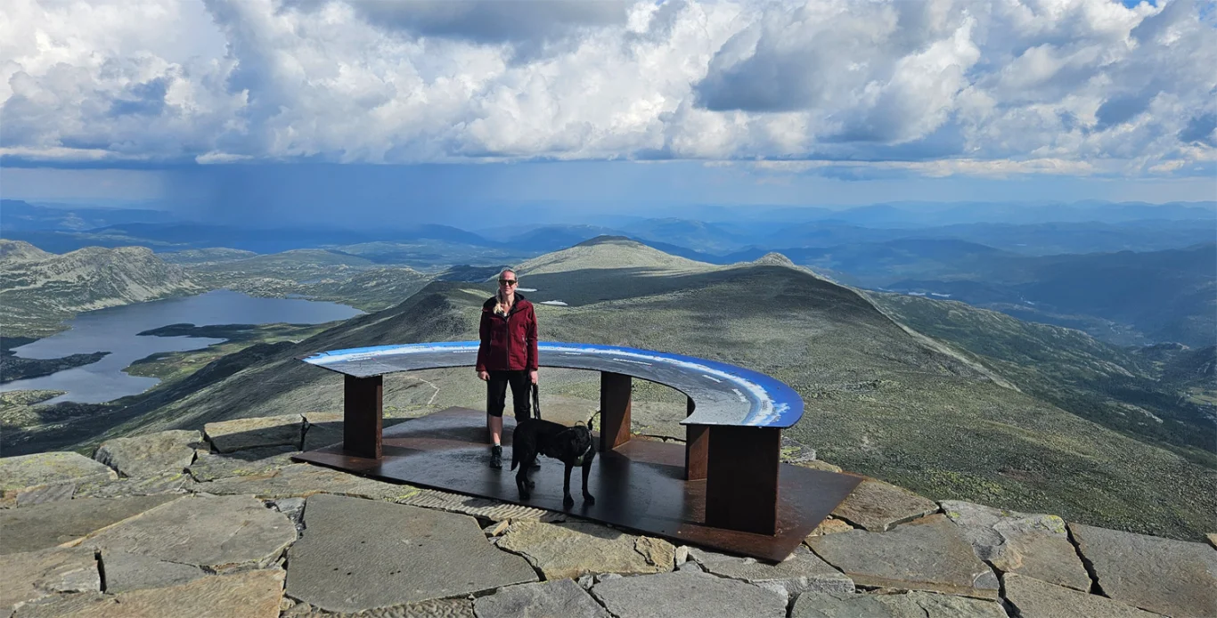
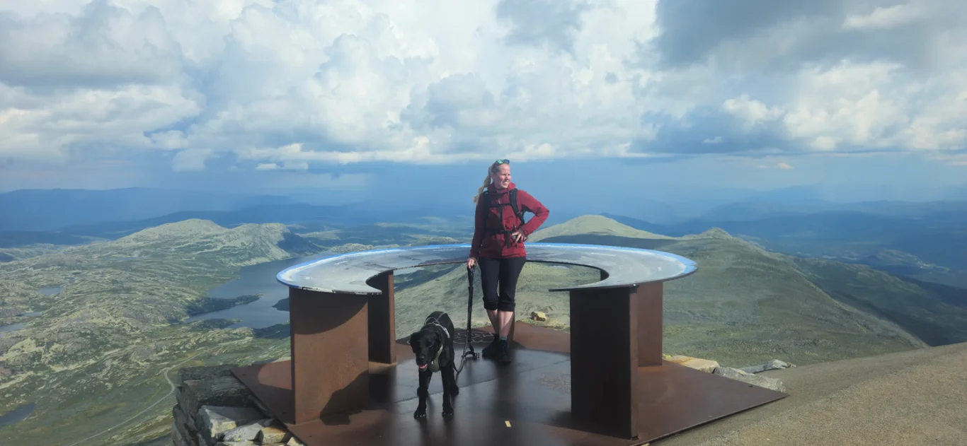
Gaustatoppen is one of Norway's most iconic mountain peaks and offers spectacular views over much of Southern Norway. On clear days, you can see about a sixth of the country from the top.

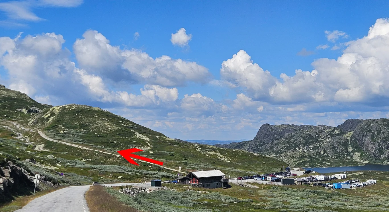
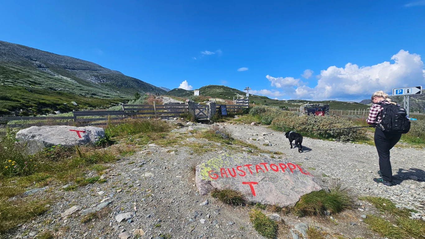
The trip starts from Stavsro parking lot (1173 m above sea level), which is located along the road between Rjukan and Tuddal.

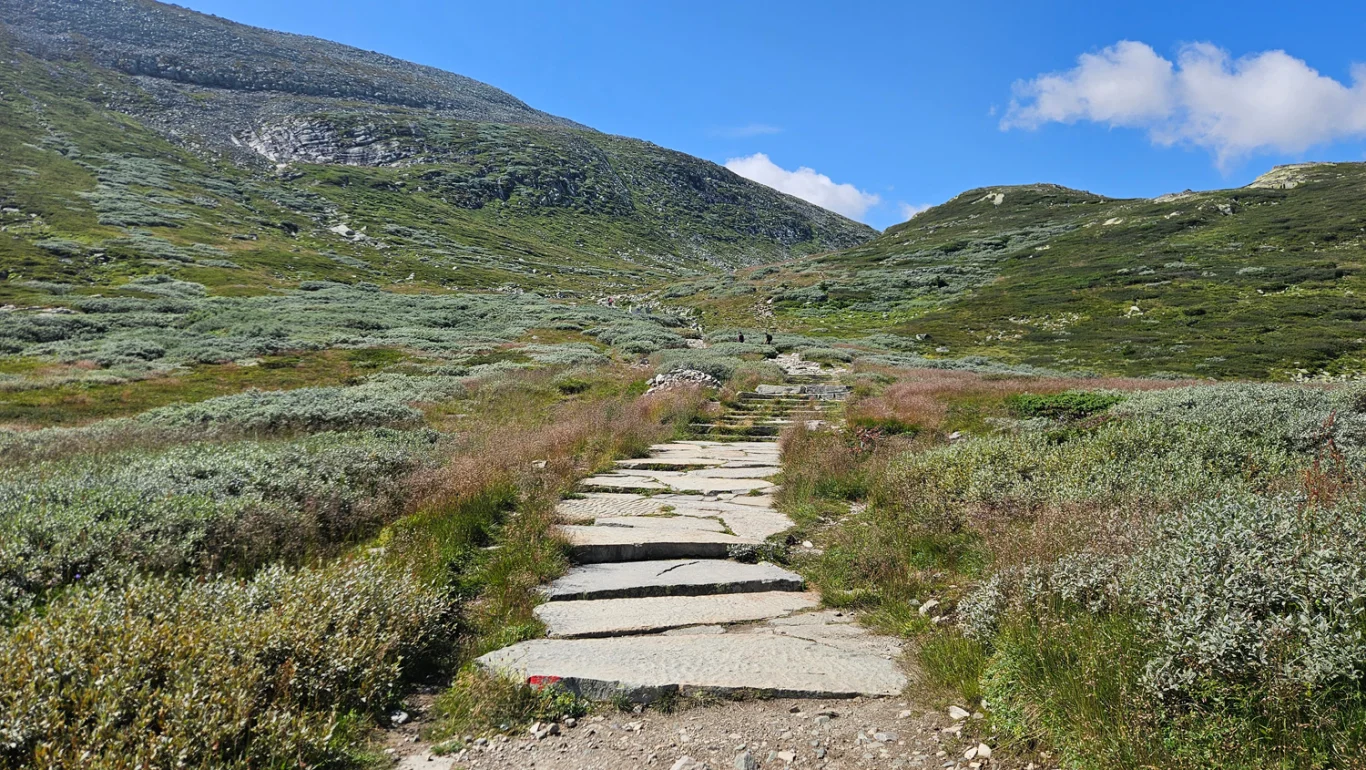
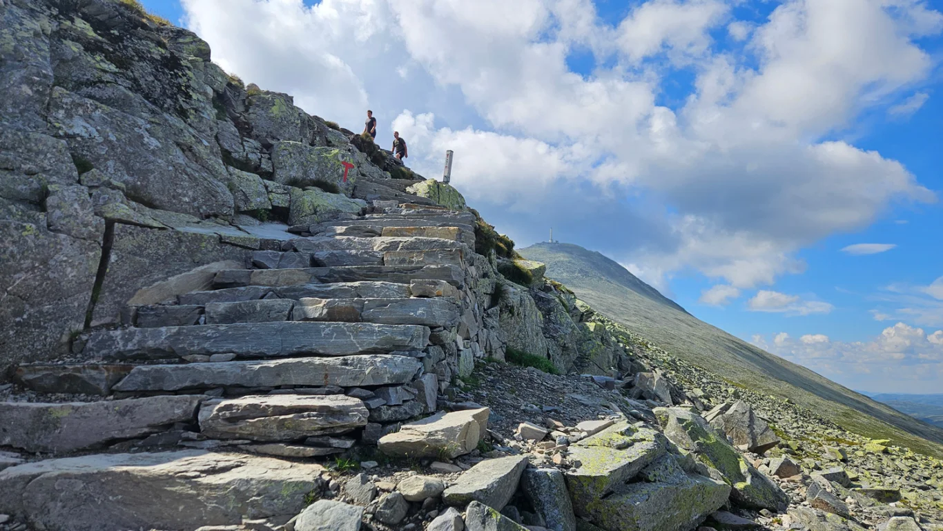
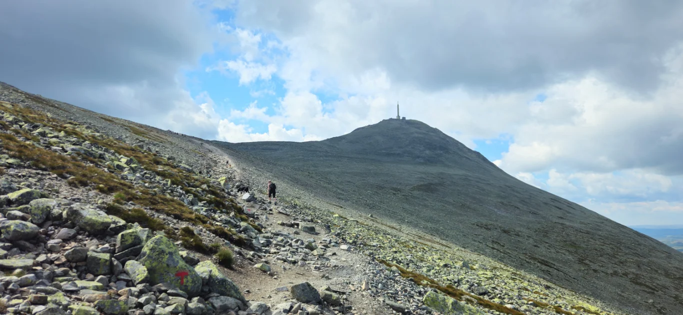
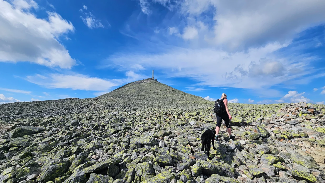
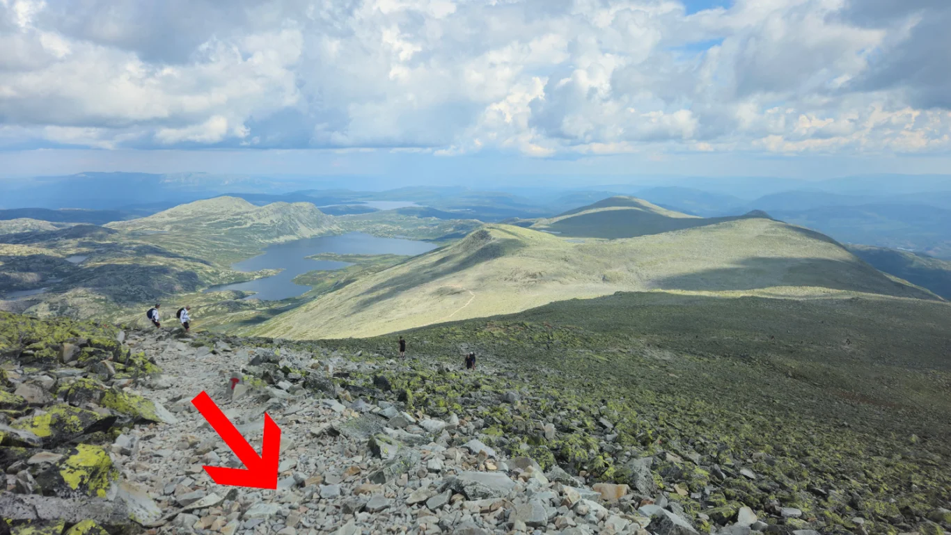
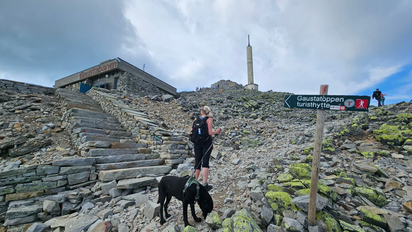
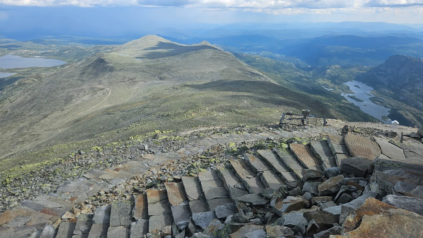
The trail starts in an open mountain landscape and climbs steadily up rocky terrain. Along the way there are fantastic views of the mountains around Rjukan. The last few kilometers up to the top are through gravel, but the trail is well marked. At the top you will find the Gaustatoppen tourist hut, where you can buy food and drinks.

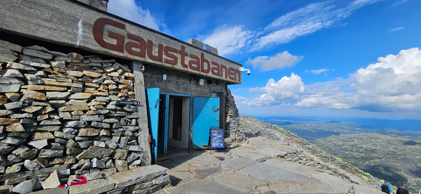
For those who want an easier descent, you can take the Gaustabanen, a mountain railway that runs inside the mountain.

Information

Length: Approximately 10 km round trip
Time: 4-6 hours round trip
Elevation gain: 655 meters
Season: May - Oct.
Grading: Demanding

Processing elevation data.. .

You use GPX files that you download from our server 100% at your own risk.

Accommodation nearby

Hiking nearby

Distance
5.32 Km
Distance
8.69 Km
Distance
21.02 Km
Distance
23.21 Km
Distance
23.22 Km
Distance
24.81 Km
Distance
26.83 Km
Distance
28.6 Km
Distance
28.64 Km
Distance
28.95 Km
Distance
29.73 Km
Distance
30.83 Km